Multnomah Creek
Much of the forest along this hike was severely burned by the 2017 Eagle Creek Fire and can no longer be considered old-growth. The finest stand lies at the upper margin of the fire approximately a half mile downhill from the junction of the Larch Mountain Trail (441) with the Multnomah Way Trail (444). Unfortunately, the fire burned severely through most of this stand and only a small fragment of old growth remains. The few old trees that still grow on this productive site are impressive though.
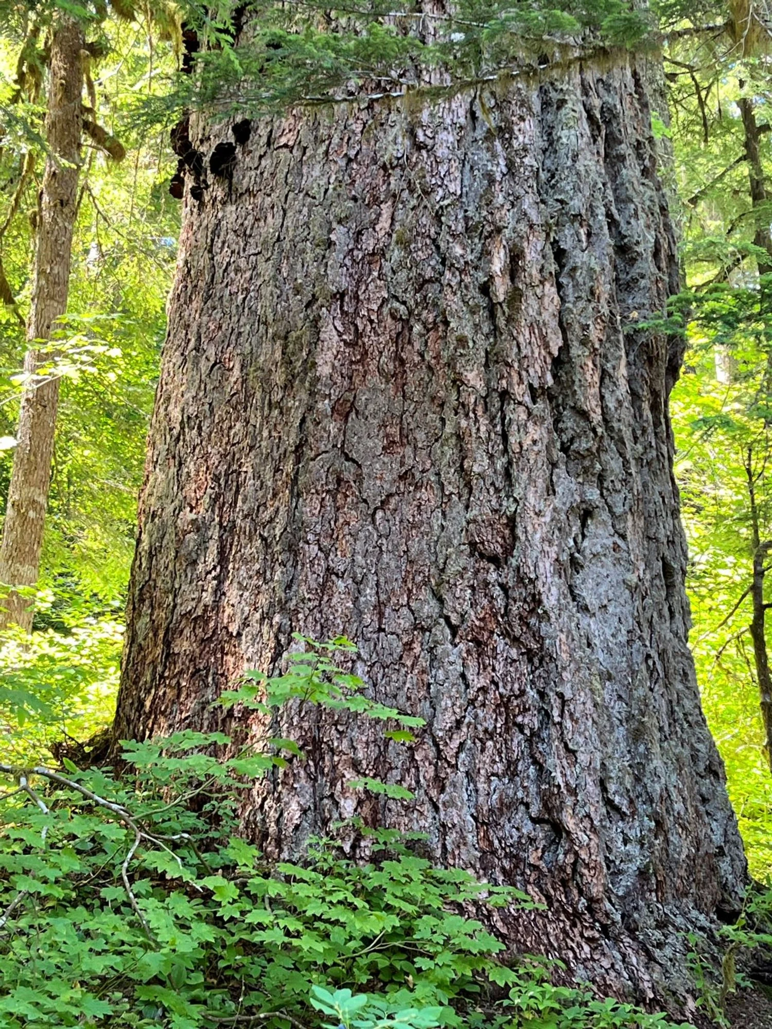
Impressive Douglas-fir

Former old growth

A few survivors at the edge

Not this time ...
Note: The map below was published in 1993 prior to the 2017 Eagle Creek Fire, and is shown for historical purposes only.
