3. Bell Creek
Summary
Length 2 ¾ miles one way
Difficulty Easy to moderate
Season Late spring to autumn
Elevation range 2,840 feet – 3,740 feet
Human imprint High hiker use until the first trail junction; very low past that
Information Columbia River Gorge National Scenic Area
Primary old growth features
Very old stand of enormous Douglas-fir close to Portland.
Description
Portlanders have easy access to an off-the-beaten-path yet impressive old-growth forest close to well-known Larch Mountain. The first mile of the hike forms one segment of a popular loop around Larch Mountain basin (see hike 2), but use of the trail diminishes greatly after passing the loop and entering the Mark Hatfield Wilderness on the Bell Creek Trail. The Bell Creek Trail was closed to public use from 2017 through 2023 due to the Eagle Creek Fire (2017), but is now open.
Start downhill through younger forest on the Oneonta Trail (424) reaching a junction with the Multnomah Creek Way Trail (444) just under a mile from the trailhead. Continue down the ridge on the Oneonta Trail for another mile until intersecting the Bell Creek Trail (459). This portion of the trail is briefly adjacent to the Bull Run Watershed administrative unit before curving north into a western hemlock old forest draped across headwaters of Oneonta Creek. Turn right on the Bell Creek Trail, quickly coming to a bridged stream crossing by a ponded wetland engineered by the Oregon state mammal, the American beaver.
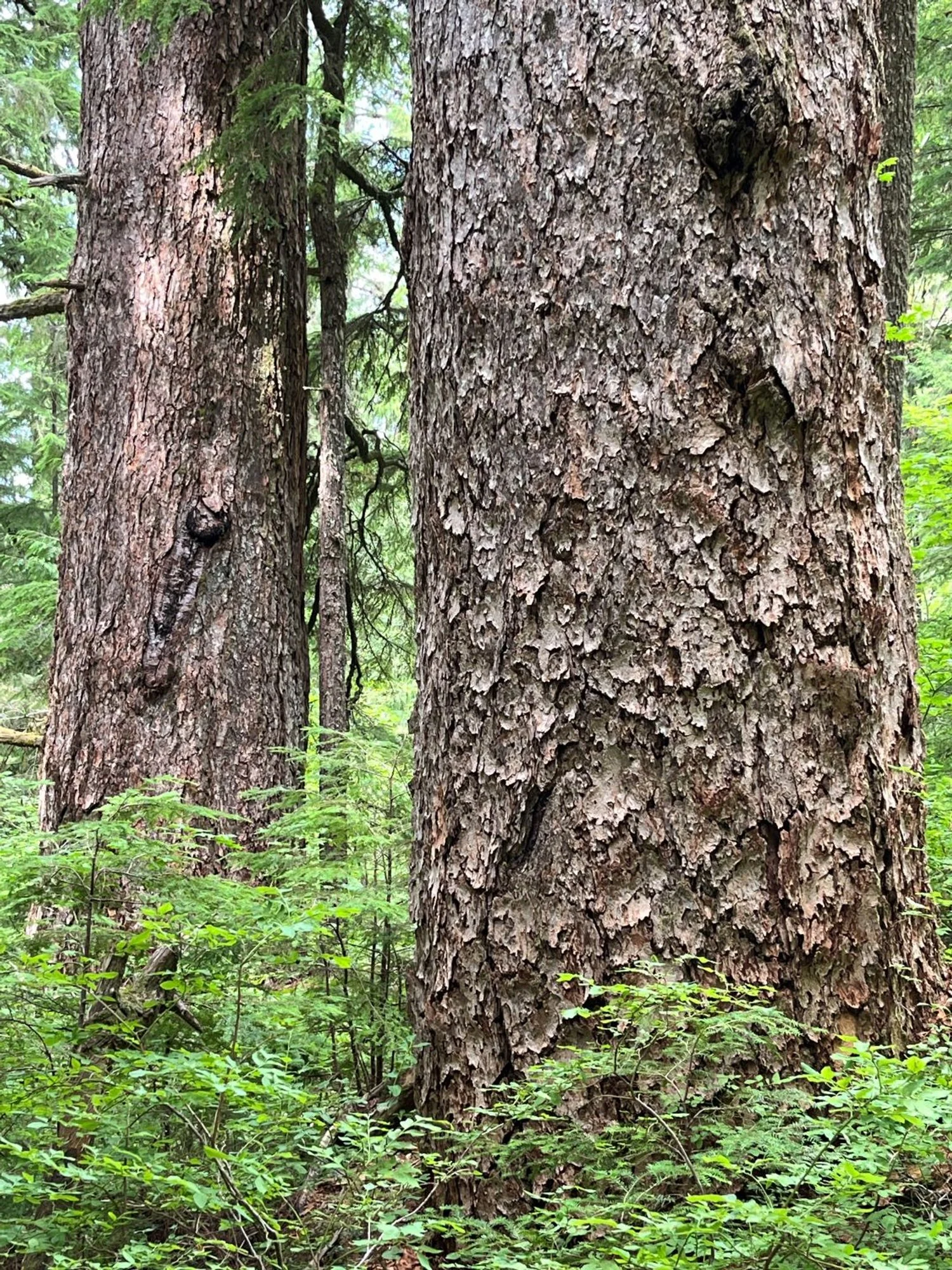
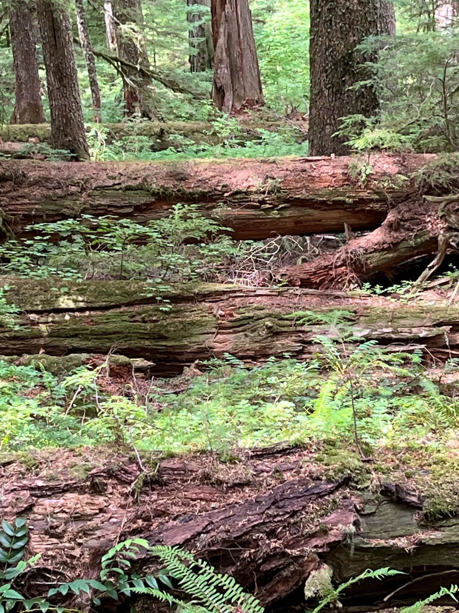
The destination old growth stands across the next mile of the Bell Creek Trail featuring enormous Douglas-fir and large western redcedar. Portions of the stand appear to be very old and slowly transitioning from a Douglas-fir dominated forest into a canopy of western hemlocks. Huge, craggy old Douglas-fir are slowly dying out creating gaps in the forest canopy being filled by shade-tolerant western hemlock. Massive amounts of dead wood are present, both standing as snags and lying as large down logs. The largest trees reach 6-8’ in diameter in this unique stand of late-stage Douglas-fir.
The old forest comes to an end too soon as the trail bends east and heads towards a crossing of Bell Creek. Here is where the Eagle Creek Fire blew up the slope killing most of the old forest. The snag patch is interesting on its own, and marks a logical turnaround point for the hike.
30 years of change
The northern edge of the old growth was burned by the Eagle Creek Fire (2017) reducing the area of the old forest and shortening the hike. Douglas-fir is slowly dying out of the remaining old growth and being replaced by western hemlock.
How to get there
Exit off Interstate 84 (Corbett, exit 22) 13 miles east of the I-84/I-205 junction and turn right onto NE Corbett Hill Road. Turn left onto the ‘Historic Columbia River Highway’ (Oregon 30) after 1 1/3 miles, and then stay right onto the Larch Mountain Road after approximately 1 ¾ miles. Follow the paved road almost to the top, parking on the right just after the 14-mile maker where the road switchbacks left.

A massive, eight-foot thick Douglas-fir

Huge Douglas-fir, live and dead

Shade-tolerant. full-canopied western hemlock

Huge western hemlock

Western hemlock filling in from below

Giant Douglas-fir snag

Abundant large logs

Massive redcedar

Occasional noble fir

Severely burned, but still alive, barely

Fireweed in the snag patch

Beautiful recedar
