17 - Hackleman Creek
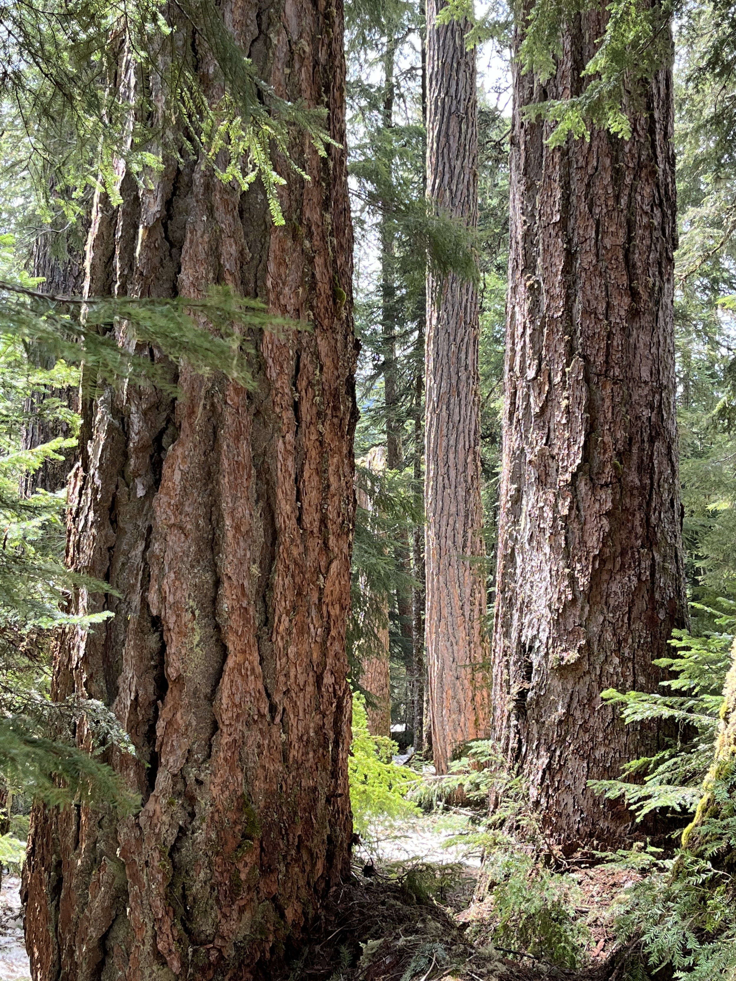
Giant Douglas-firs

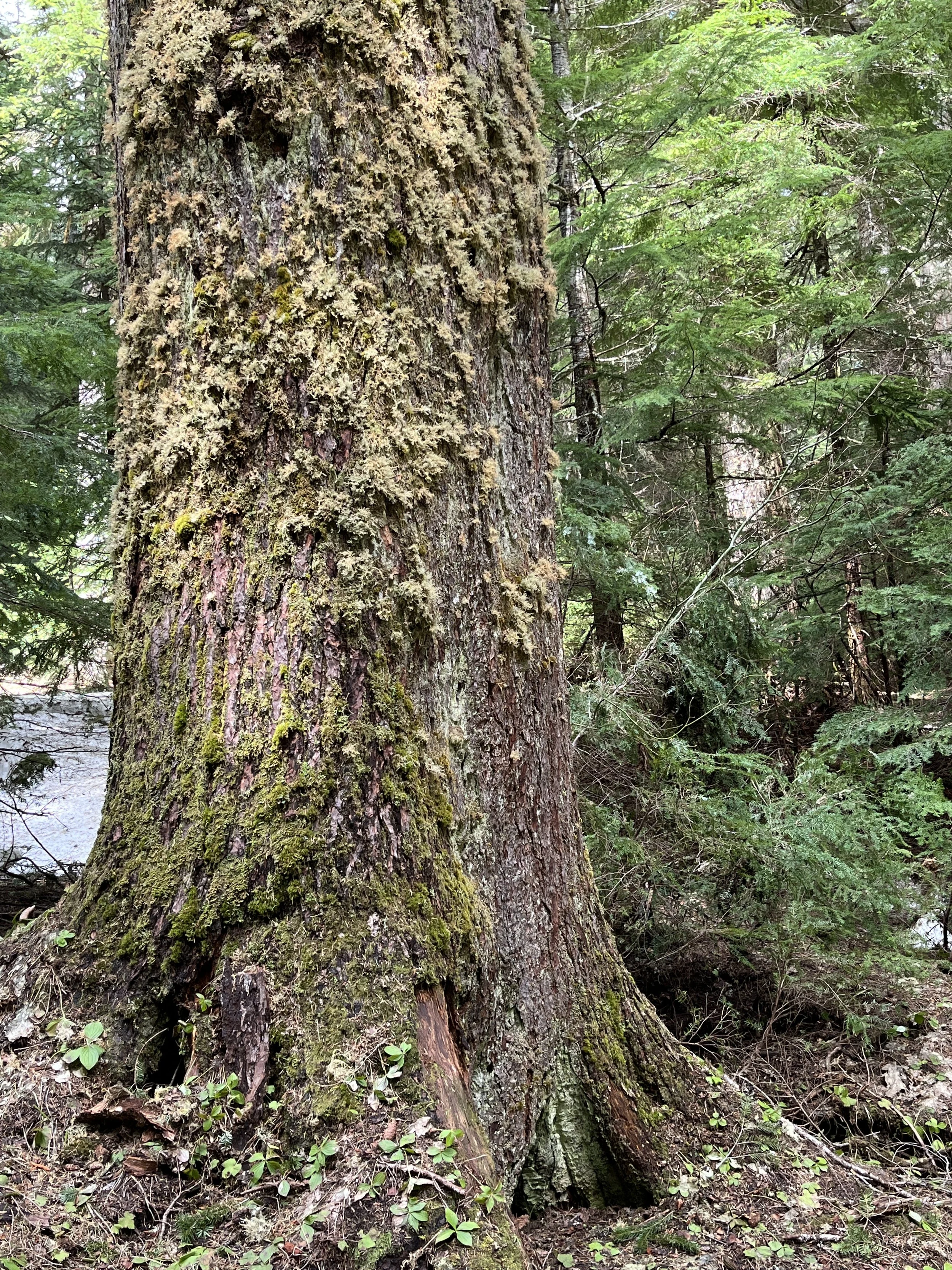
It's really big ..
Chunky old western hemlock

Lots of big hemlocks

Douglas-fir in winter

Large snags become large down wood

Conjoined twins