19. Santiam Wagon Road
Summary
Length – 3 miles one way
Difficulty – Moderate
Season – Late spring to early autumn
Elevation range –3,100 feet – 4,140 feet
Human imprint – Moderate (historic road, private land plantation)
Information - Willamette National Forest, McKenzie River Ranger District
Primary old growth features
Unique lava flow old growth; dry-site Douglas-fir/mixed conifer old growth.
Description
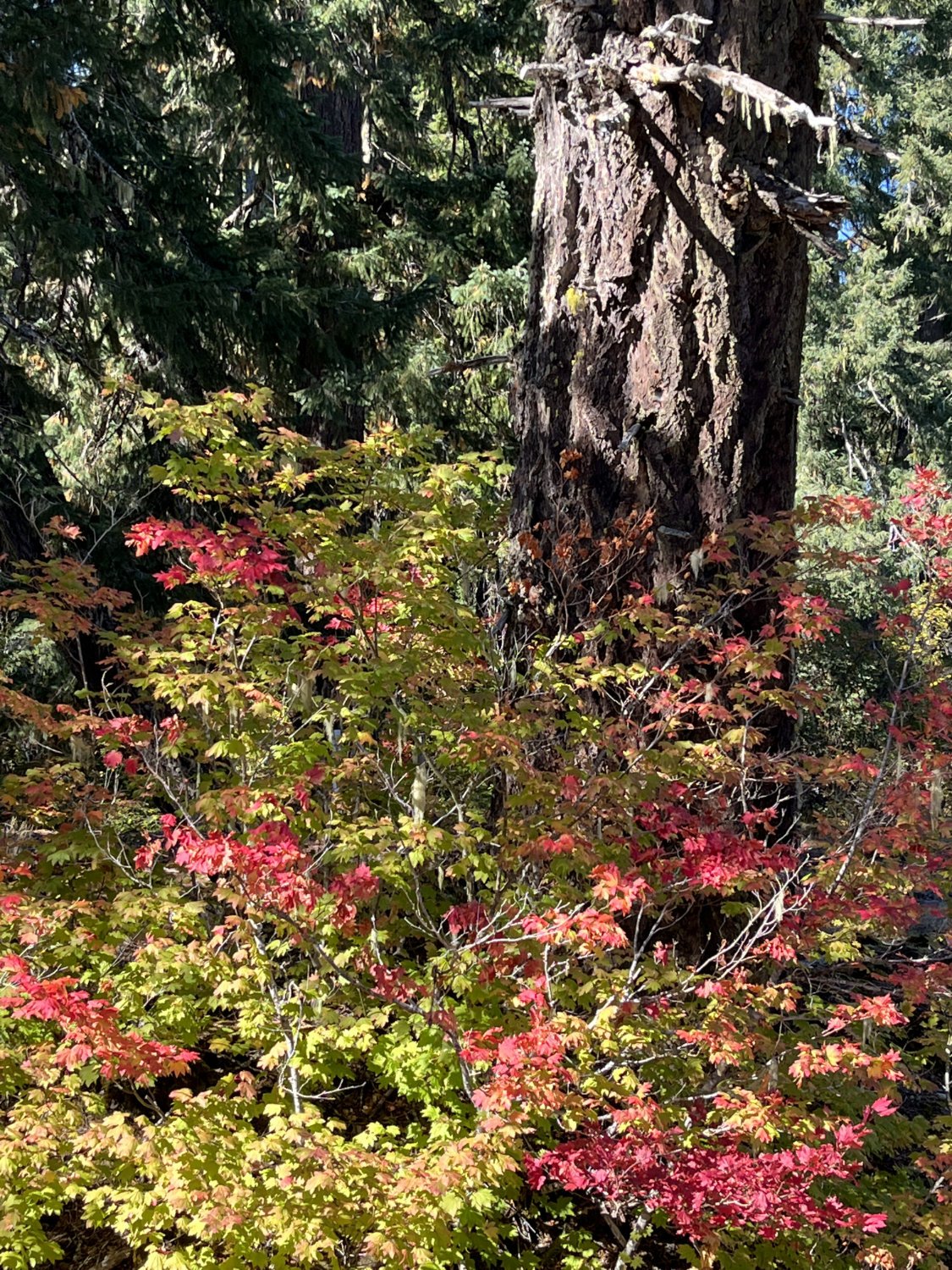
A segment of the historic Santiam Wagon Road also departs from the upper McKenzie River Trail parking area. The privately constructed and operated toll road provided access across the central Oregon Cascades from the late 1860s until the 1930s. This segment of the old road remains in good condition, instilling a sense of what past travelers may have experienced. The grade is moderate and the former roadway often wide enough for a side-by-side stroll. The hike is particularly attractive in the fall when flaming red vine maple adorn the lava flow. The trail is closed to all motorized vehicles.
Stay to the left out of the trailhead parking area heading southeast on the Old Santiam Wagon Road Trail (3413). The first half mile winds through a lava flow where huge Douglas-firs cluster in scattered pockets of soil among the lava. Dry, rocky shallow soils support an open forest of approximately 200–300-year-old Douglas-fir and scattered grand fir for most of the next three miles. Older, fire-scorched Douglas-fir survivors and occasional ponderosa pine are also notable components. Most pines have died though, and few younger pines are coming in to replace them. Except for one brief stretch through a privately owned plantation, the trail continues through this forest until reaching Forest Rd. 2676.
The wagon road also stretches to the west from the Fish Lake Interpretative Site on the other side of the McKenzie Highway. It is worth a visit to see the historic Fish Lake Remount Depot that was used as the summer headquarters for the old Santiam National Forest from 1921-1933, when the Willamette National Forest was first formed by combining the Santiam and Cascade National Forests. The buildings and site are well maintained with multiple interpretive displays. The wagon road continues west past the historic site for several miles through mixed older forest, including some large Douglas-fir. Parking is a half mile further north from the upper McKenzie River trailhead.
25 years of change
Although still present, ponderosa pine and grand fir have largely dropped out of the stand. The section of wagon road west of Fish Lake is not as well maintained and the forest has degraded a bit so is no longer shown as part of the primary hike.
How to get there
Travel the McKenzie Highway (State Route 126) approximately 76 miles northeast of Eugene (1 mile north of Clear Lake, and 2 miles south of the U.S. Highway 20/SR 126 junction) and turn east into the upper McKenzie River Trail parking area.

Douglas-fir in fall

Douglas-fir amid lava

Big Douglas-fir

Summer HQ - Historic Santiam NF
