0
Skip to Content
Old Growth Hikes
About
North OR Cascades
Columbia River Gorge (Hikes 1-3)
Hood River (Hikes 4-8)
Fifteenmile Creek (Hikes 9-10)
Sandy River (Hikes 11-13)
White River (Hikes 14-16)
Clackamas River (Hikes 17-21)
Central OR Cascades
North Santiam (Hikes 22-23)
South Santiam (Hikes 24-32)
McKenzie (Hikes 33-45)
Middle Fork Willamette (Hikes 46-65)
Middle Fork - East (Hikes 46-65)
Coast Fork Willamette (Hike 66)
Deschutes (Hikes 67-69)
South OR Cascades
North Umpqua (Hikes 70-75)
South Umpqua (Hikes 76-78)
Upper Rogue River (Hikes 79-85)
Upper Klamath River (Hikes 86-88)
Open Menu
Close Menu
About
Folder:
North OR Cascades
Back
Columbia River Gorge (Hikes 1-3)
Hood River (Hikes 4-8)
Fifteenmile Creek (Hikes 9-10)
Sandy River (Hikes 11-13)
White River (Hikes 14-16)
Clackamas River (Hikes 17-21)
Folder:
Central OR Cascades
Back
North Santiam (Hikes 22-23)
South Santiam (Hikes 24-32)
McKenzie (Hikes 33-45)
Middle Fork Willamette (Hikes 46-65)
Middle Fork - East (Hikes 46-65)
Coast Fork Willamette (Hike 66)
Deschutes (Hikes 67-69)
Folder:
South OR Cascades
Back
North Umpqua (Hikes 70-75)
South Umpqua (Hikes 76-78)
Upper Rogue River (Hikes 79-85)
Upper Klamath River (Hikes 86-88)
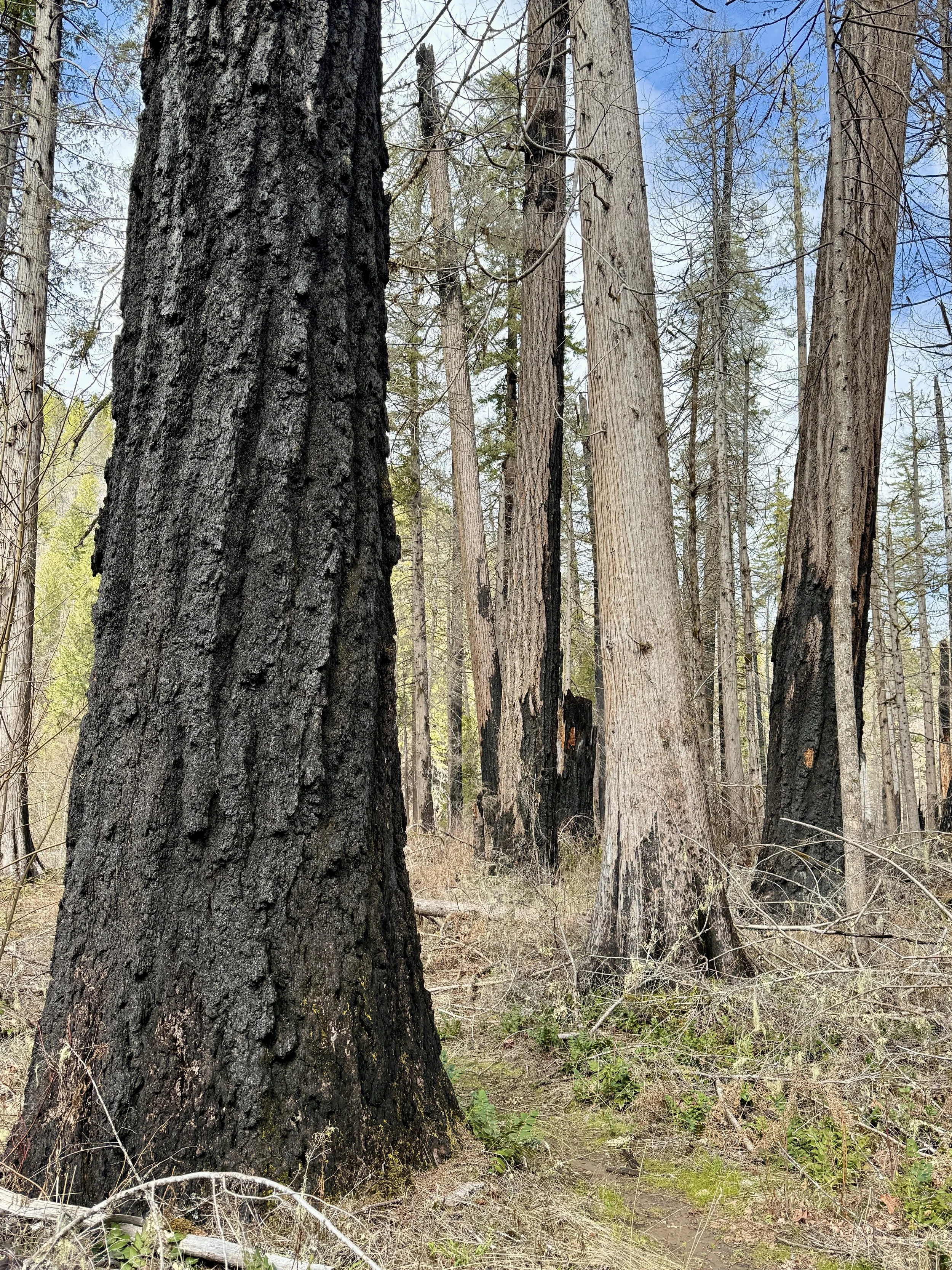
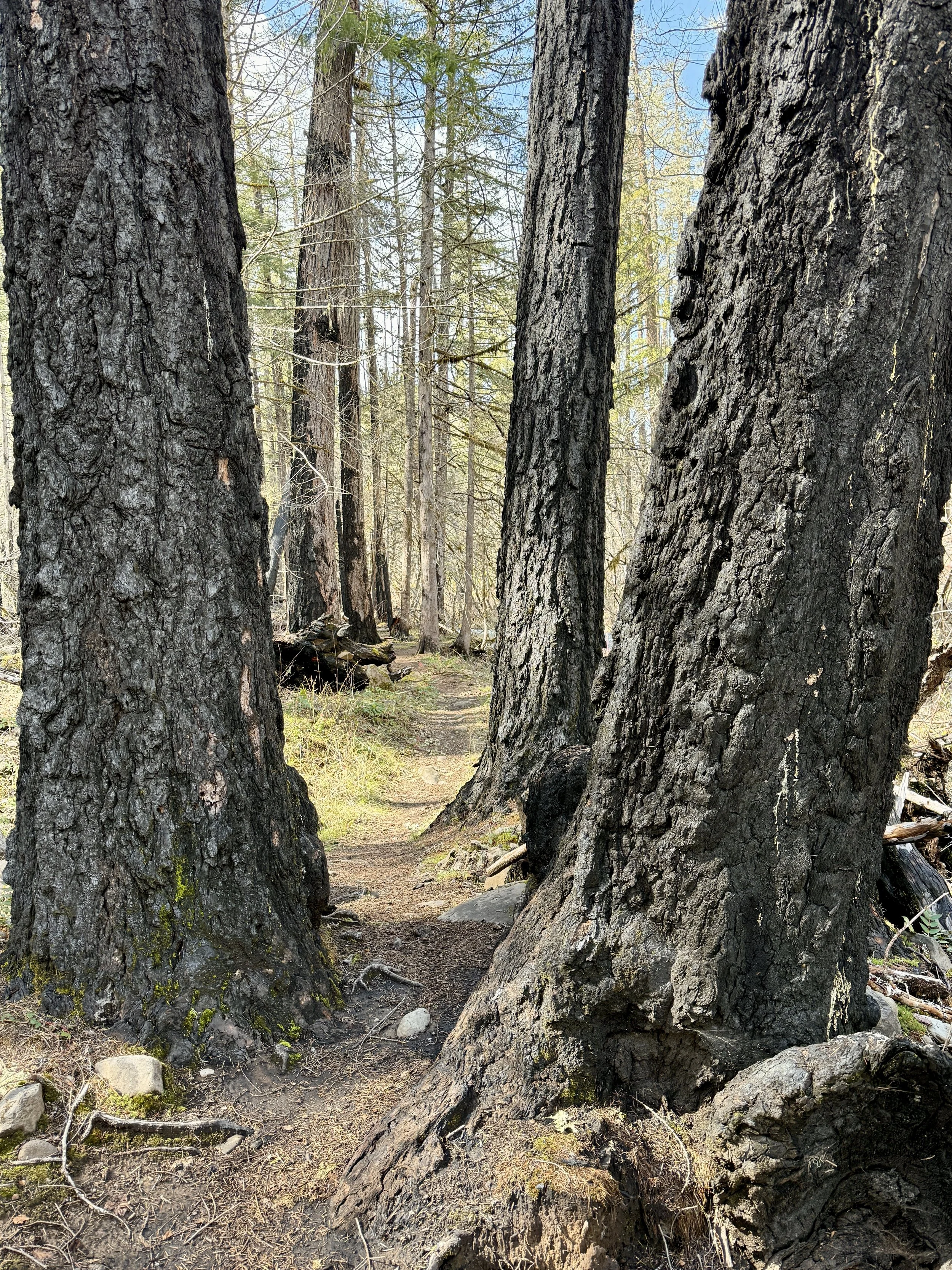
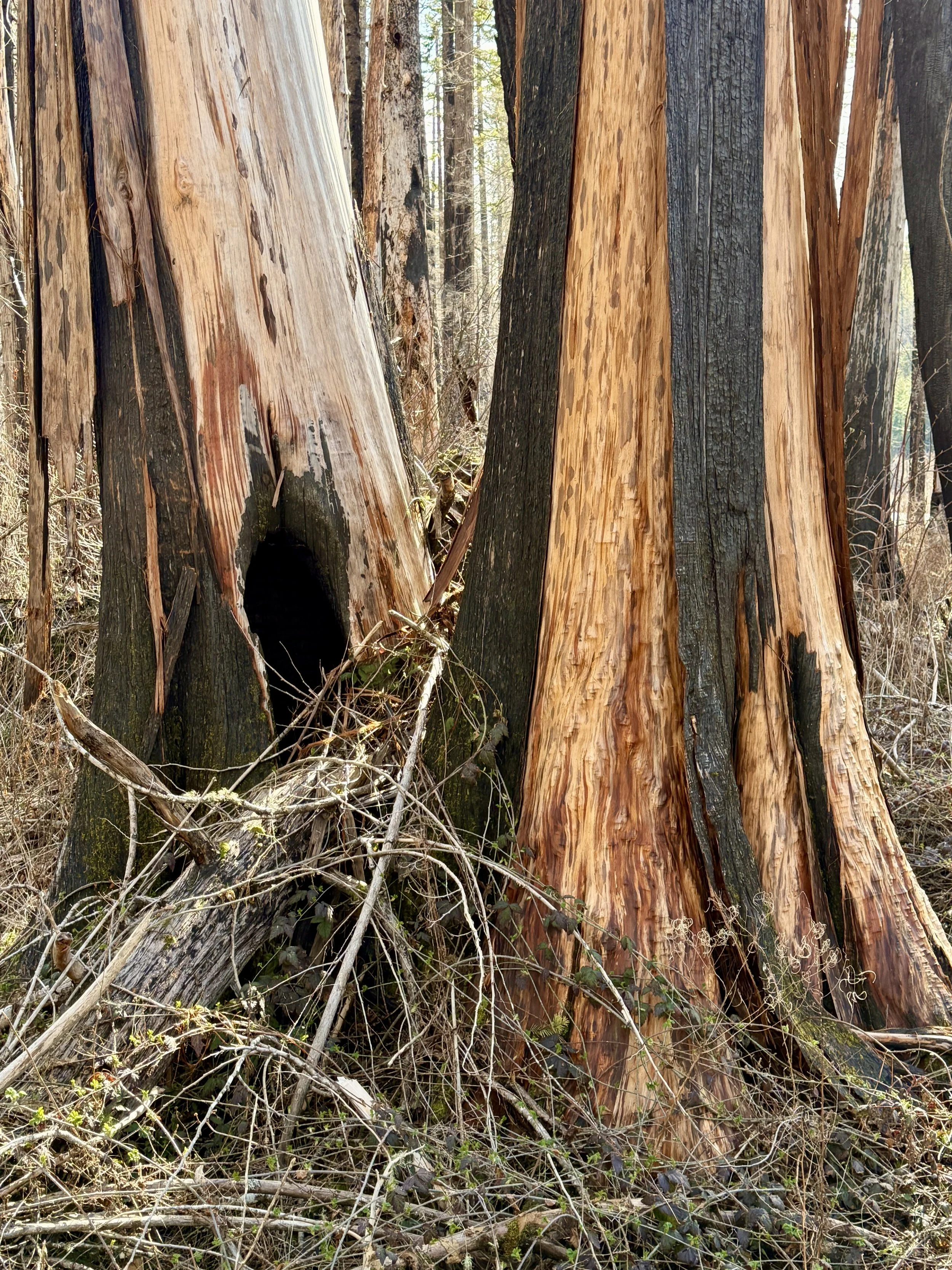
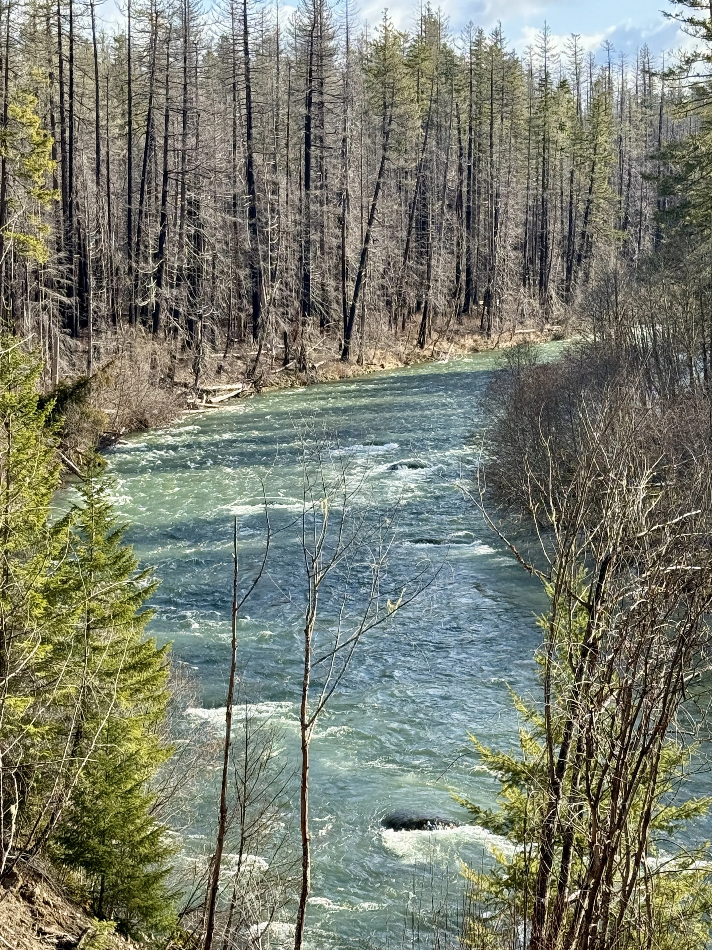
18 - Riverside Trail
Previous
Previous
17. Eagle Creek (Salmon-Huckleberry Wilderness)
Next
Next
19. Hot Springs Fork