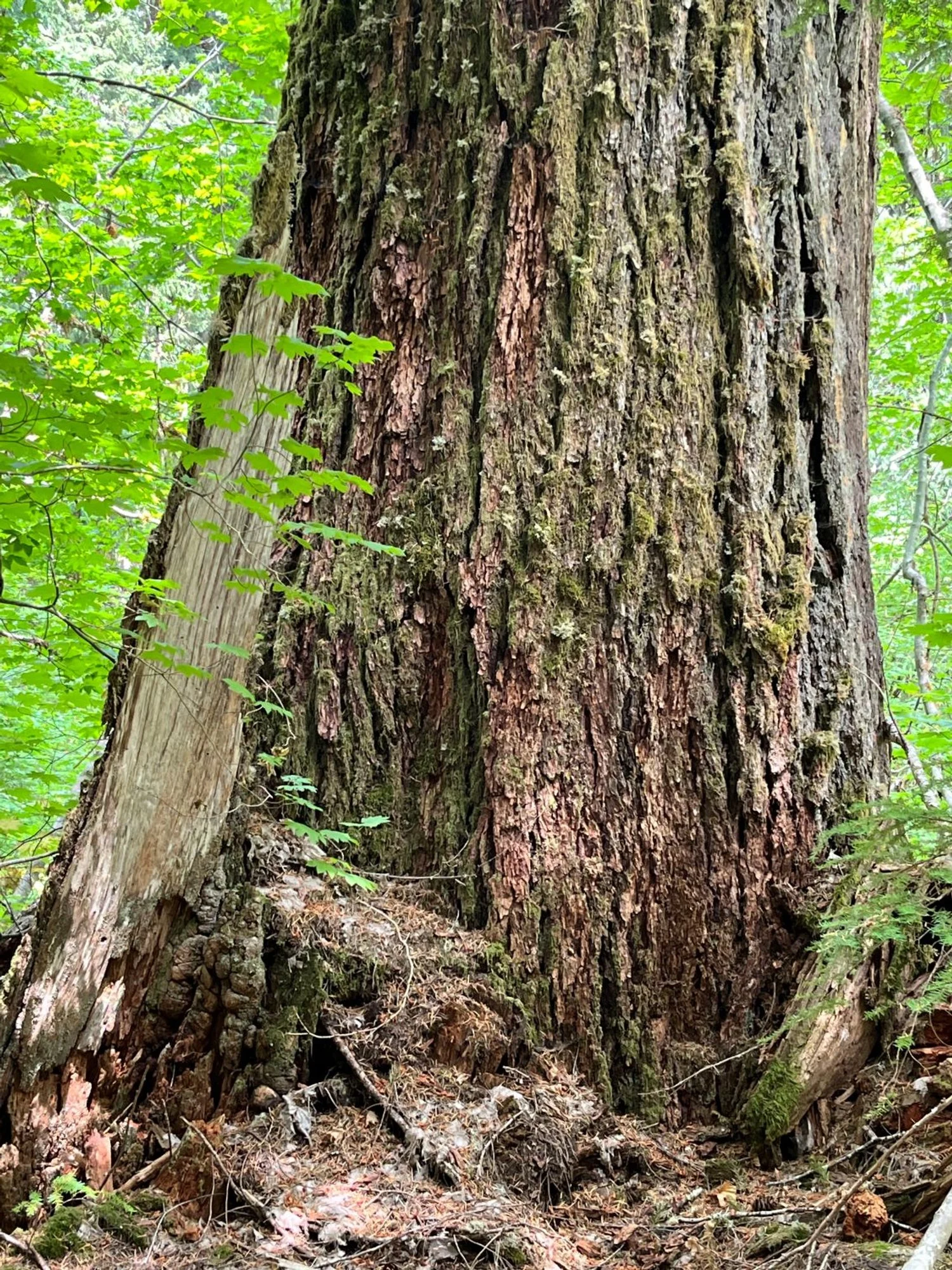
47. Dickey Creek

2024 Status

The hike description below is based on my last visit in 2003. I plan to field check in 2024, and will update the hike description, photos and map later in 2024.


Summary

Length                                3 miles one way

Difficulty                             Moderate, with occasional steep pitches

Season                               Spring to autumn

Elevation range                2,500 – 2,950 feet

Human imprint                  Minimal

Information                       Mount Hood National Forest (Clackamas River Ranger District)


Primary old growth features

Douglas-fir and western hemlock old growth.


Description

The Dickey Creek Trail (553) accesses beautiful lowland old growth in a quiet, little-noticed nook of the Bull of the Woods Wilderness. The trail also traverses a large, deep-seated earthflow, which has strangely distorted the forest in places.


The trail starts off fairly gently through an older plantation, and then the tread steepens, precipitously in places, as it enters the earthflow. Many standing trees are tipped in a variety of directions in response to this slow-motion phenomenon. Deep-seated earthflows typically move at nearly imperceptible rates, ranging from fractions of an inch to a few inches per year, enough to tilt trees but not topple them immediately. The jumbled and hummocky surface of the ground provides an additional indicator of earthflow activity and causes the trail to follow an uneven course. Upon close inspection, some of the apparently dry stream drainages turn out to be tension cracks between portions of the ground moving at different rates.

The top of the earthflow can be seen from some distant locations as a rock scarp face along a geologic discontinuity between hard rock along the ridgeline and the landslide below. A look at the map reveals that the landslide has gradually pushed Dickey Creek to the east, feeding the stream with sediment and trees as the toe of the slide erodes during high stream flows.

Old growth begins in earnest after leaving the landslide and continues for approximately 2 miles. Dazzling Douglas-fir 5 feet and larger in thickness mingle with smaller western hemlock and western redcedar. Individual trees are larger near streams where soils are deeper and well-watered. A few big red alders thrive in a wet meadowy area by a small pond, adding diversity to the otherwise coniferous forest. Red alder is a relatively short-lived species (usually dead by age 100) typically found near streams and on lower slopes in the Oregon Cascades. These 2 to 3 feet thick specimens are near the upper limit of diameter growth for forest-grown red alder.

The trail briefly climbs around a rock outcrop about 3 miles from the trailhead, and then drops down to a final patch of old growth before reaching a bridgeless crossing of Dickey Creek. The stream crossing marks an excellent lunch spot and a sensible turnaround point for most day hikers. For more adventurous hikers, the trail continues across the stream, turning steeply uphill through mostly burned forest on a tack toward Big Slide Lake and multiple trail junctions on the distant ridgeline.

30 Years of Change

Last hiked in 2003; will update in 2024.


How to get there

Turn right onto the Collowash Road (FR 63) from the Clackamas River Highway (FR 46) approximately 29 miles southeast of Estacada. Turn right approximately 5.7 miles later onto FR 6340. Follow FR 6340 for 2.8 miles, then turn left onto FR 140. Park at the trailhead at the end of the road in approximately a mile and a half.

Map note

The map below was created in 2003 and accurate at that time. I plan to field check and update the map in 2024.

Previous
Previous

46. Bull of the Woods

Next
Next

48. Lower Elk Lake Creek