67. Crabtree Lake
Summary
Length 3 miles one way
Difficulty Moderate
Season Summer to early autumn
Elevation range 3,360 – 4,040 feet
Human imprint Moderate (remote basin, but access is mostly on old roads; nearby plantations)
Information Bureau of Land Management (Northwest Oregon District)
Primary old growth features
Spectacular grove of very old Douglas-fir and western hemlock.
Description
The cliff-rimmed, headwall basin harboring Crabtree Lake is a well-known refugia hosting huge trees in a truly ancient forest. The valley is also a historic conservation landmark due to the protracted and ultimately successful battle to transfer the land from private ownership to the Bureau of Land Management in the 1970s and 1980s. Today the area is a Bureau of Land Management ACEC (Area of Critical Environmental Concern) and RNA (Research Natural Area), meaning that the area is to be managed for environmental and non-impactful research purposes.
The old-growth grove around Crabtree Lake sits in a north-facing, glacially carved cirque basin, which has afforded an uncommon degree of protection from wildfire. Consequently, the forest has attained great age, often estimated as 600-900-years old. Exceptionally large trees; an abundance of very old western hemlock; huge amounts of large dead wood; and a diverse and gappy forest structure all support the idea that this is a very old forest. One iconic tree in particular, the King Tut tree, is noteworthy for its enormity and distinctive spiraling bark, though it is not near the trail and stands in a difficult to reach location.
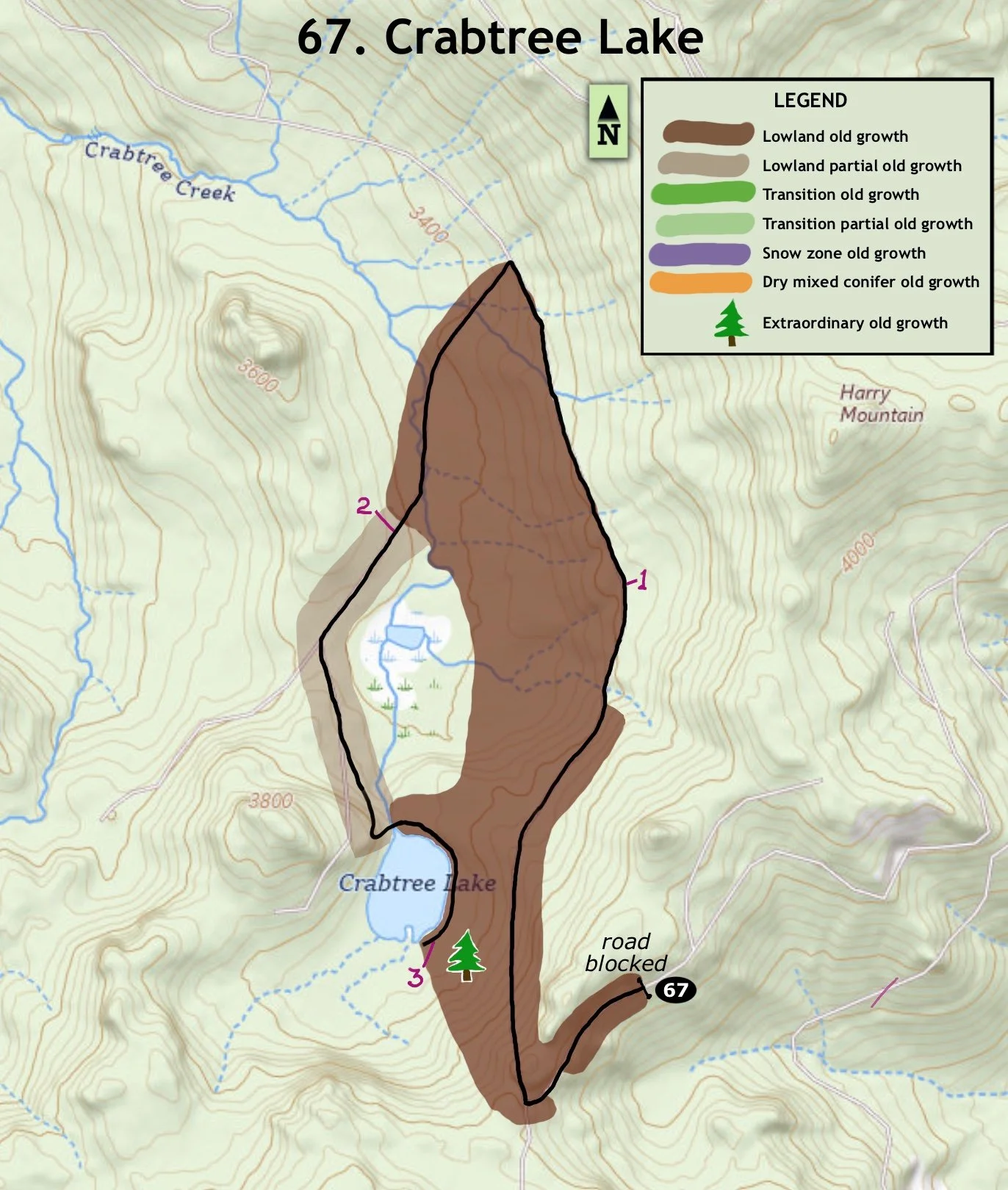
The trail follows old roads for most of the way to Crabtree Lake, and then follows a well-worn user path to a fantastic grove of spectacular veterans. Head southwest from the trailhead on a closed road, soon coming to an opening with a view of the Cascades, including Mount Jefferson poking prominently above the surrounding landscape. The trail continues around the corner on the old road now angling across slope downhill to the north. Old forest borders the trail on the left, and old trees are scattered along the craggy cliffs above the road to the right. Unfortunately, young trees and shrubs on and near the roadbed obscure the view and experience of the old forest. A small landslide and a large, fallen tree require a scramble at one point, and an older plantation borders the trail/road on the right for the last half of this trail segment.
The trail reaches the bottom at a junction with another road a little over 1 ½ miles from the trailhead. Scramble down to the incoming road and follow it back around to the south. Stay to the left at another road junction a little over a half mile later. Continue past a concrete barrier to Crabtree Lake and look for a trail to the left at the lake outlet.
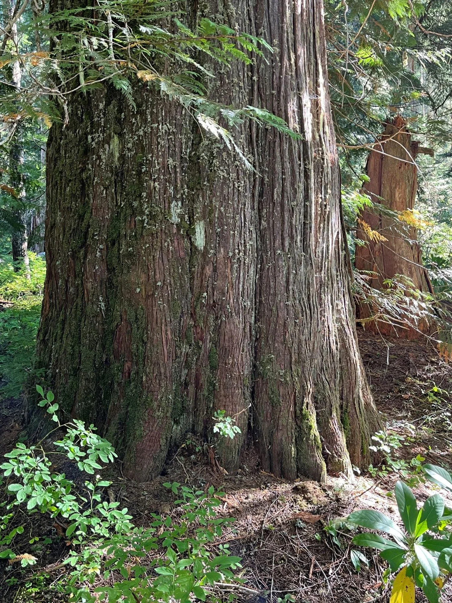
Follow this trail around the north and east shores of the lake, coming to an impressive ancient forest halfway around the eastern shore. Huge western redcedar, western hemlock, Douglas-fir and a few Pacific silver fir stand by the trail. The spellbinding old forest culminates in an amazing grove at the southeastern shore of the lake. Numerous giants 5-7’ thick cluster on this beautiful and highly productive site. Wander a bit and enjoy the forest before heading back the way you came.
30 years of change
Very little change.
How to get there
From U.S. Highway 20, turn north onto the Quartzville Road by the upper end of Foster Lake (4 miles east of Sweet Home) heading towards Green Peter Dam. Drive past Green Peter Lake and turn left onto BLM road 11-3E-35.3 approximately 20 miles from Highway 20. Follow the main, paved road uphill for 6 miles to a T junction, staying left at the first Y junction, and then right at a second Y junction 2 ¾ miles from Quartzville Road. Turn left at the T junction onto a rough but drivable gravel road for just under a mile to the trailhead.
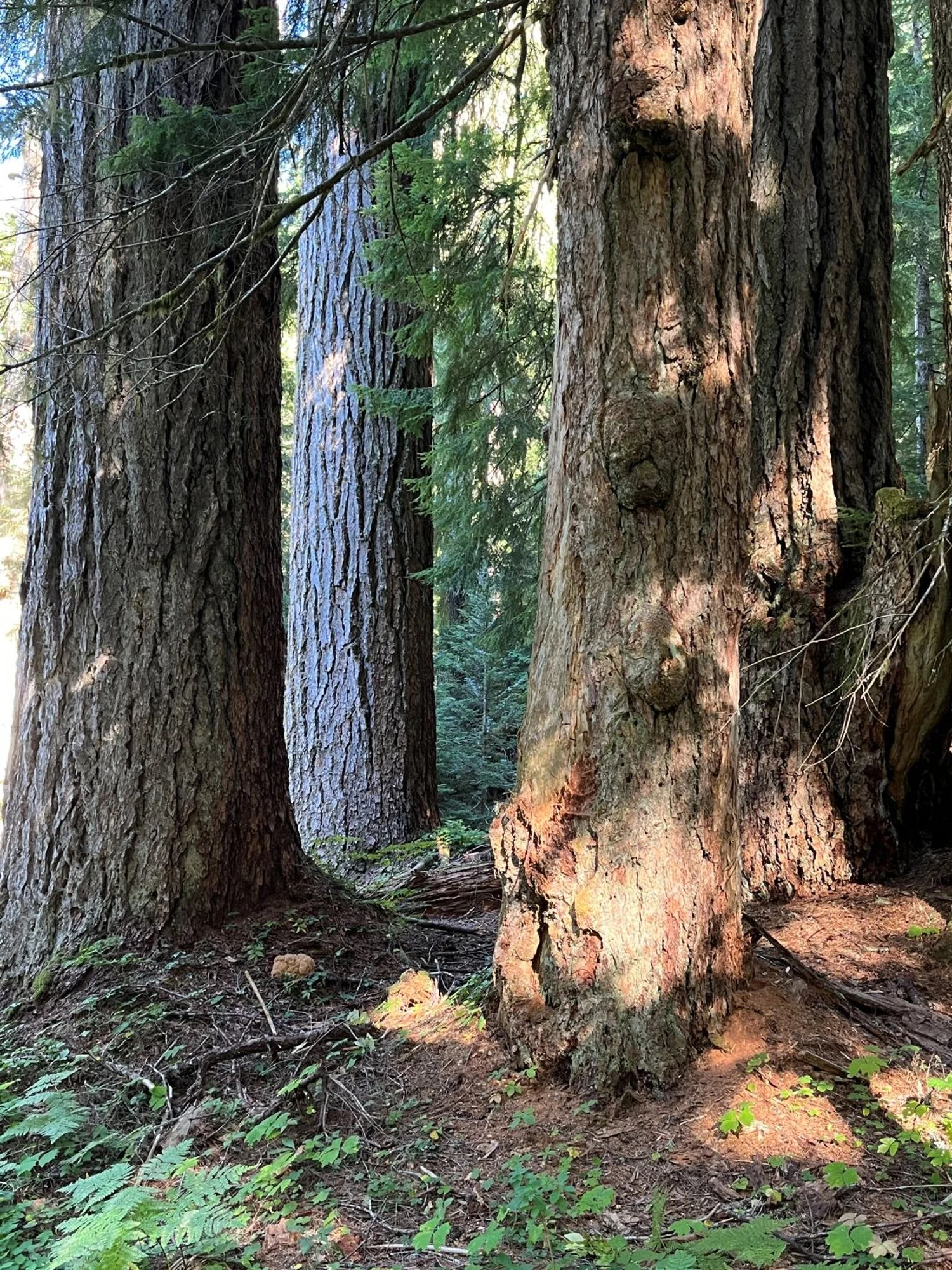
Cluster of giants
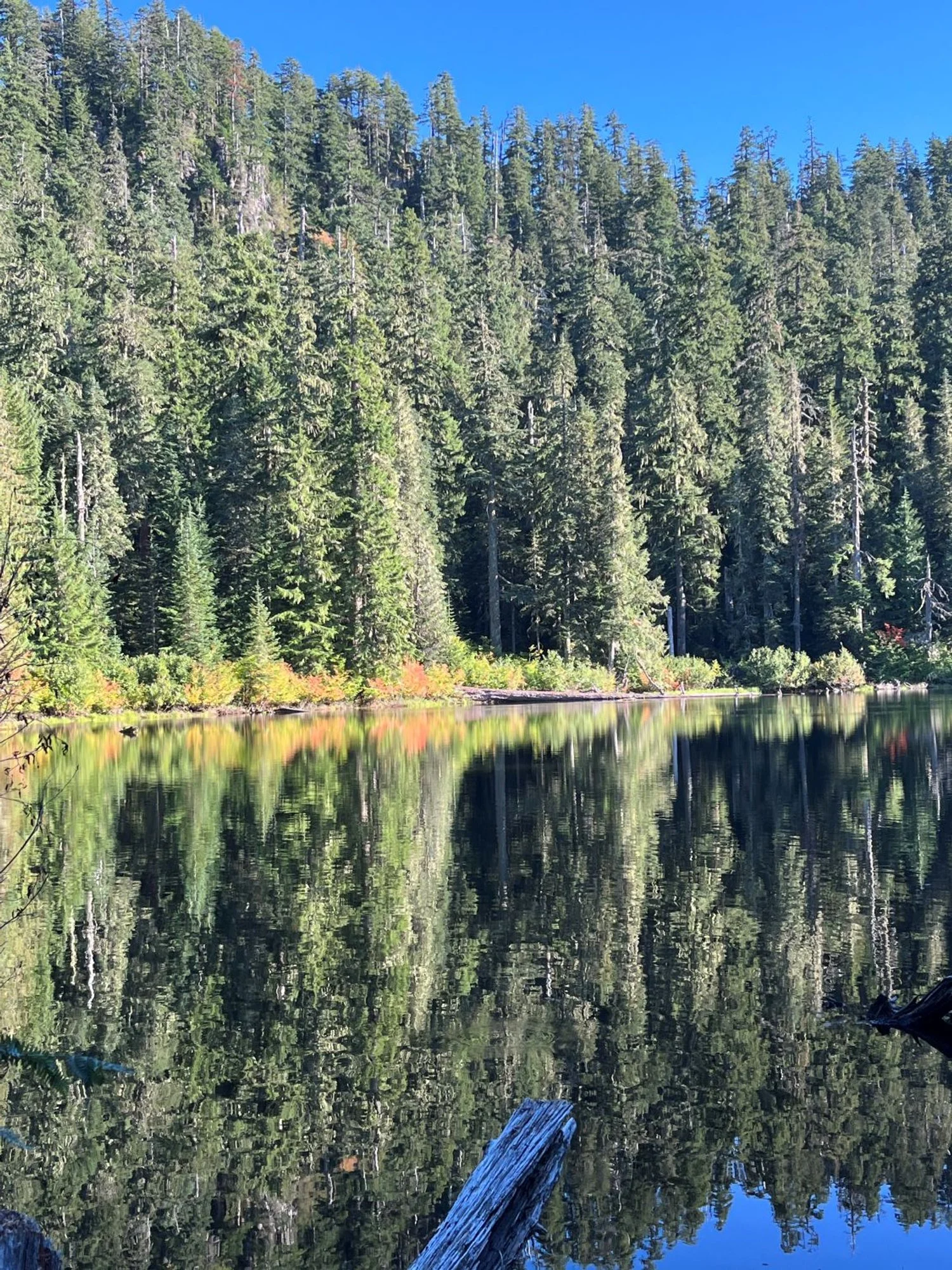
Crabtree Lake
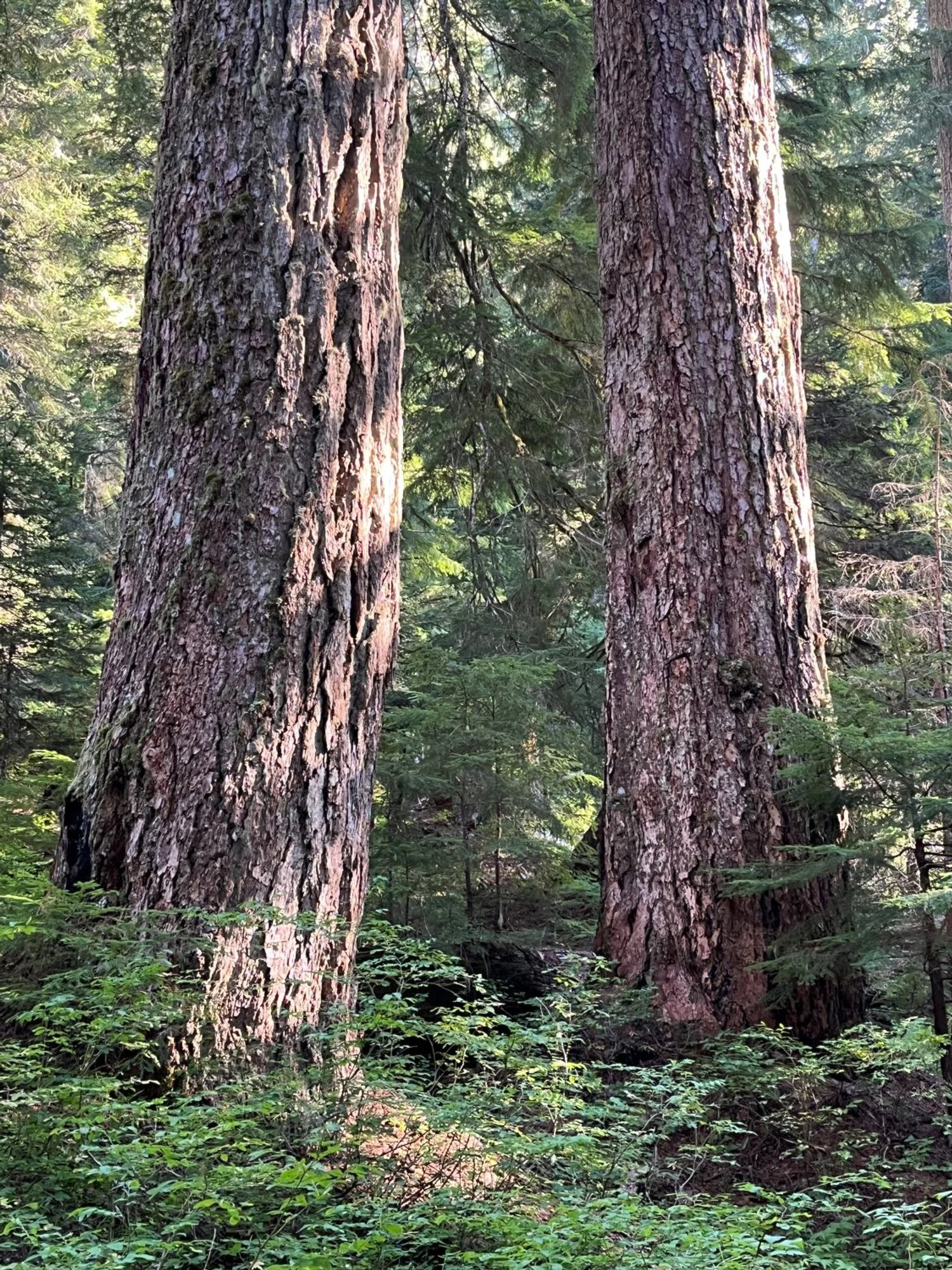
Twin towers

Feeling small next to King Tut
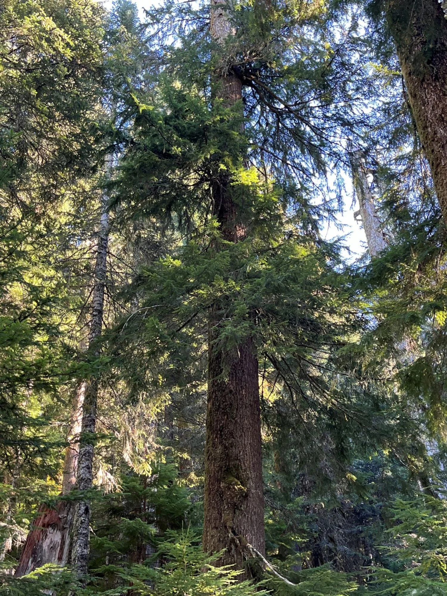
Old western hemlock
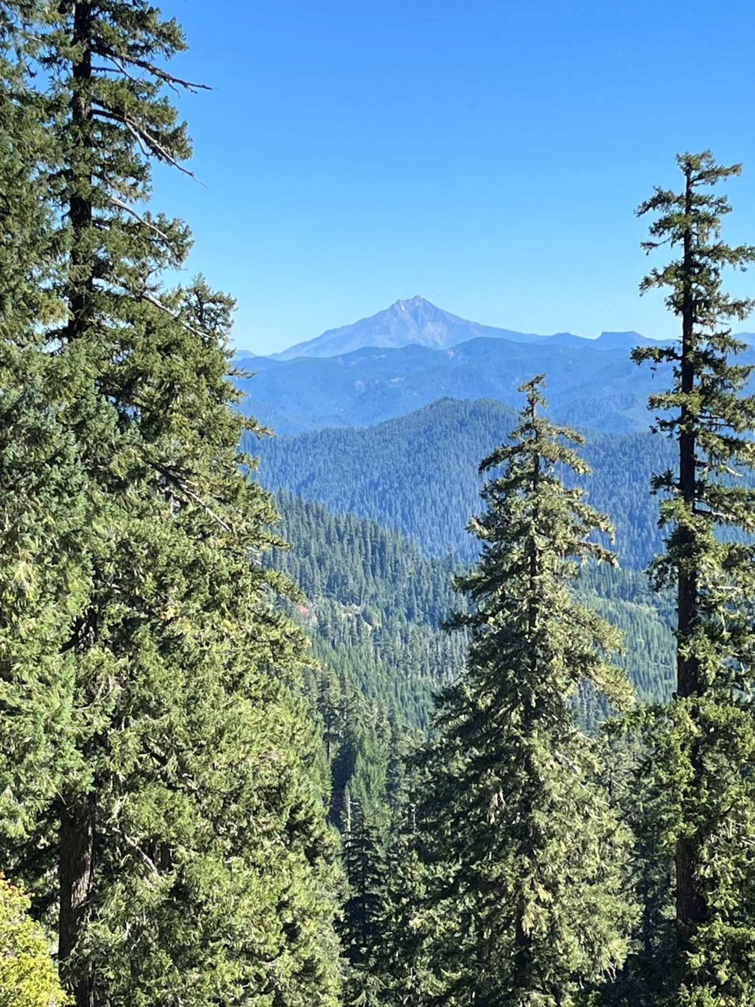
Mount Jefferson
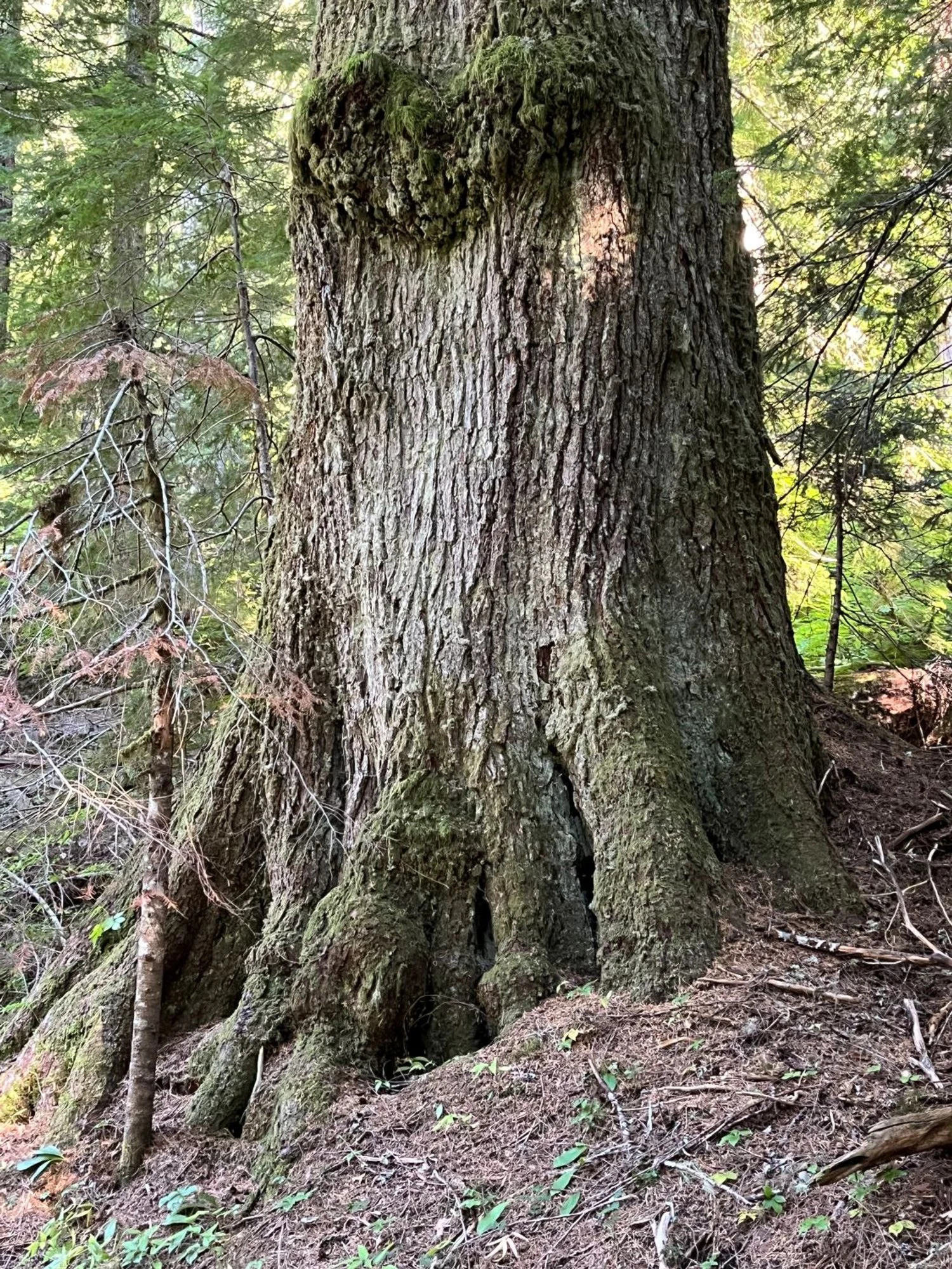
Huge western hemlock
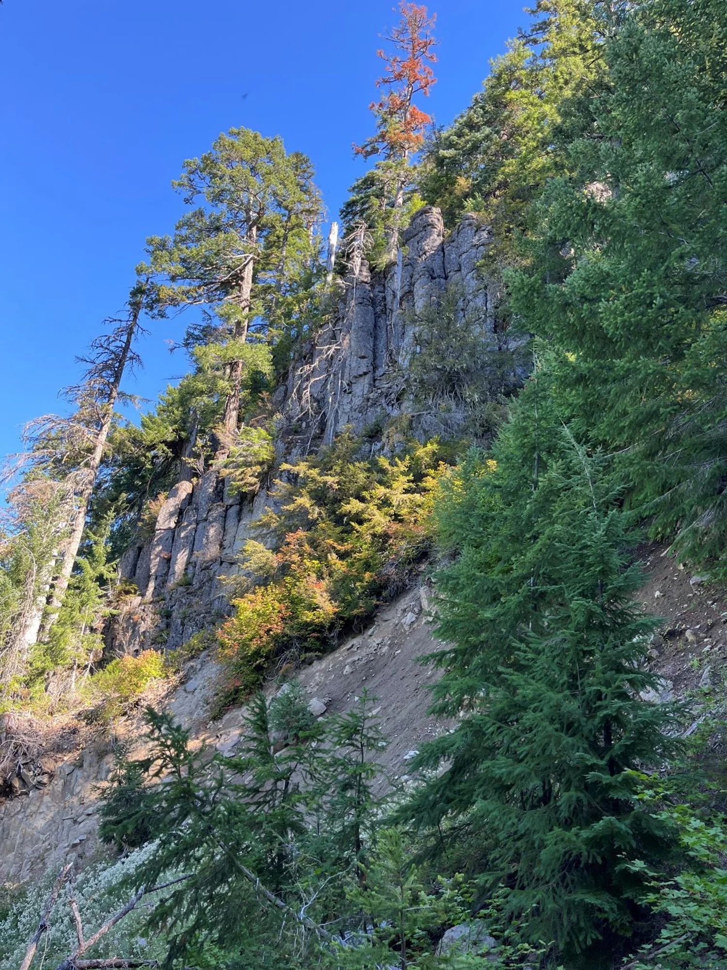
Cliffs above the lake
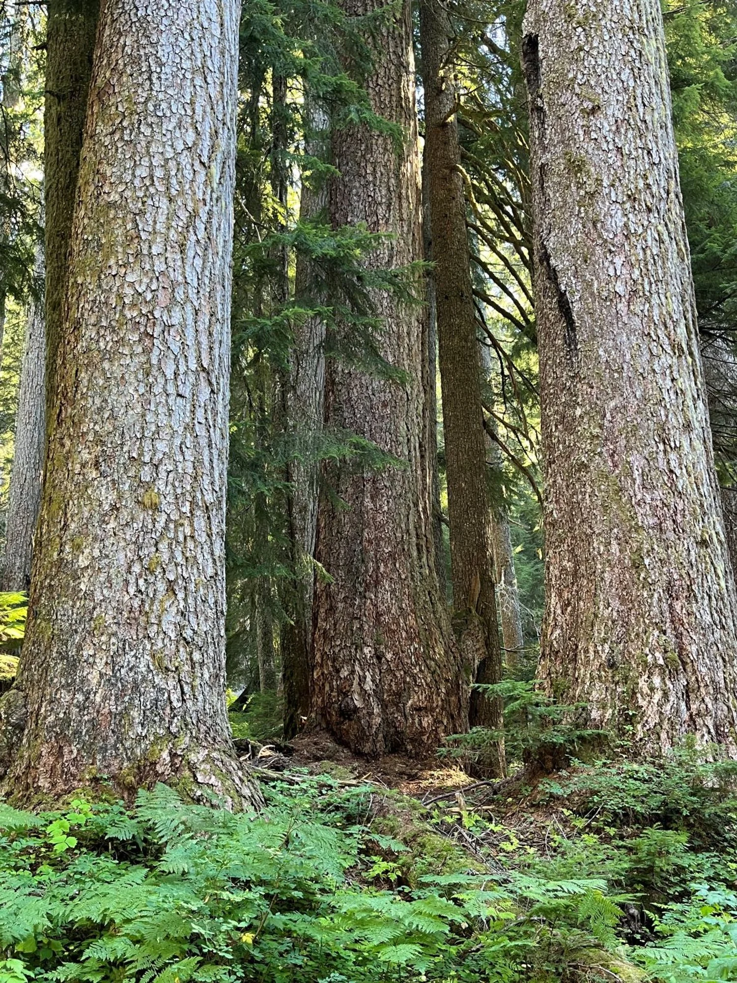
In the cathedral

Stocky western redcedar
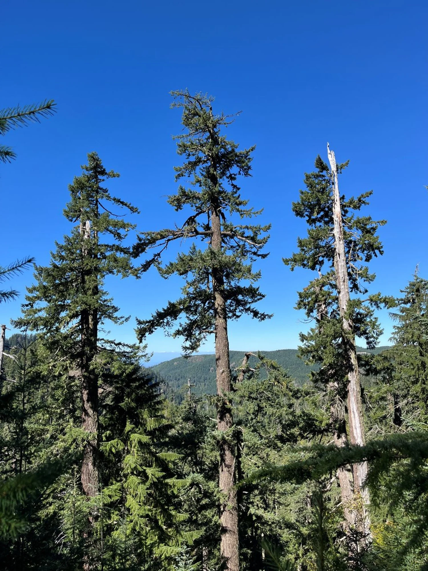
Battered crowns of old hemlocks
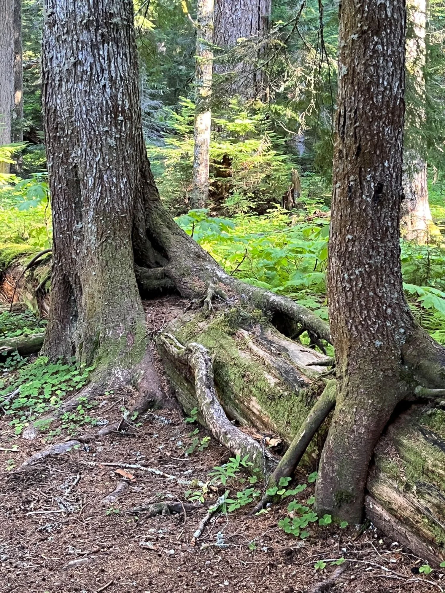
No longer in need of nursing.
