7 - McQuade Creek
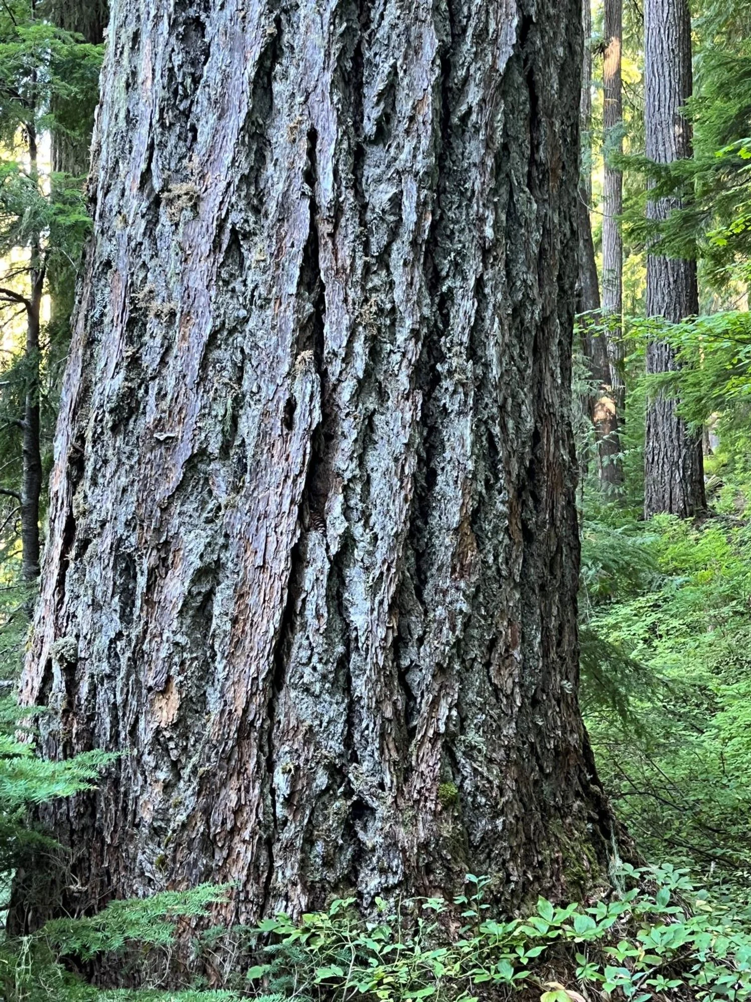
Big, fat Douglas-fir
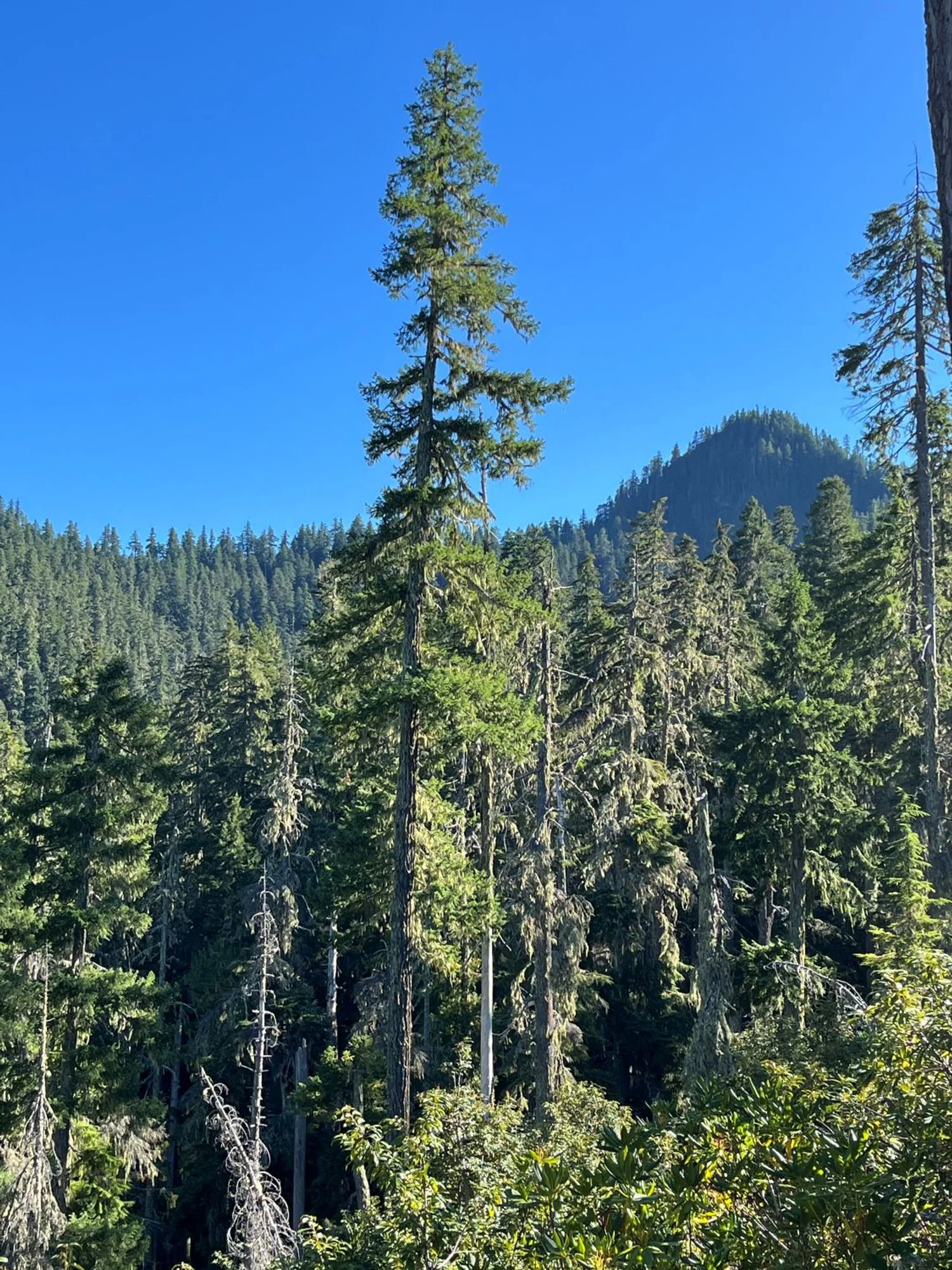
Saddle at the top and Chimney Peak
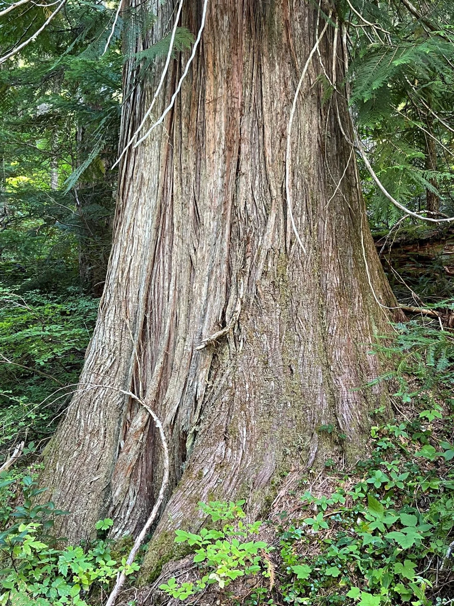
Graceful redcedar
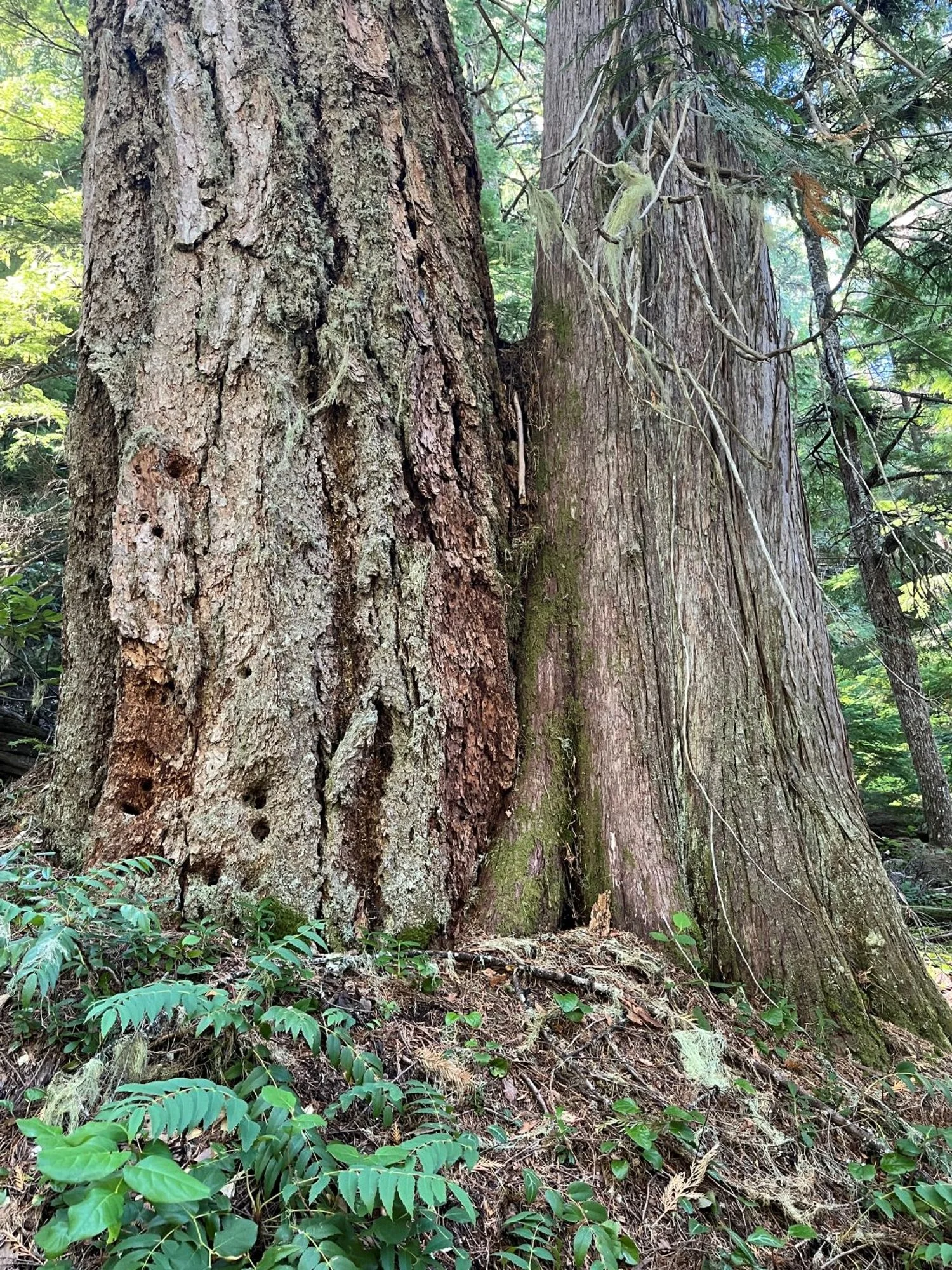
Kissin' cousins
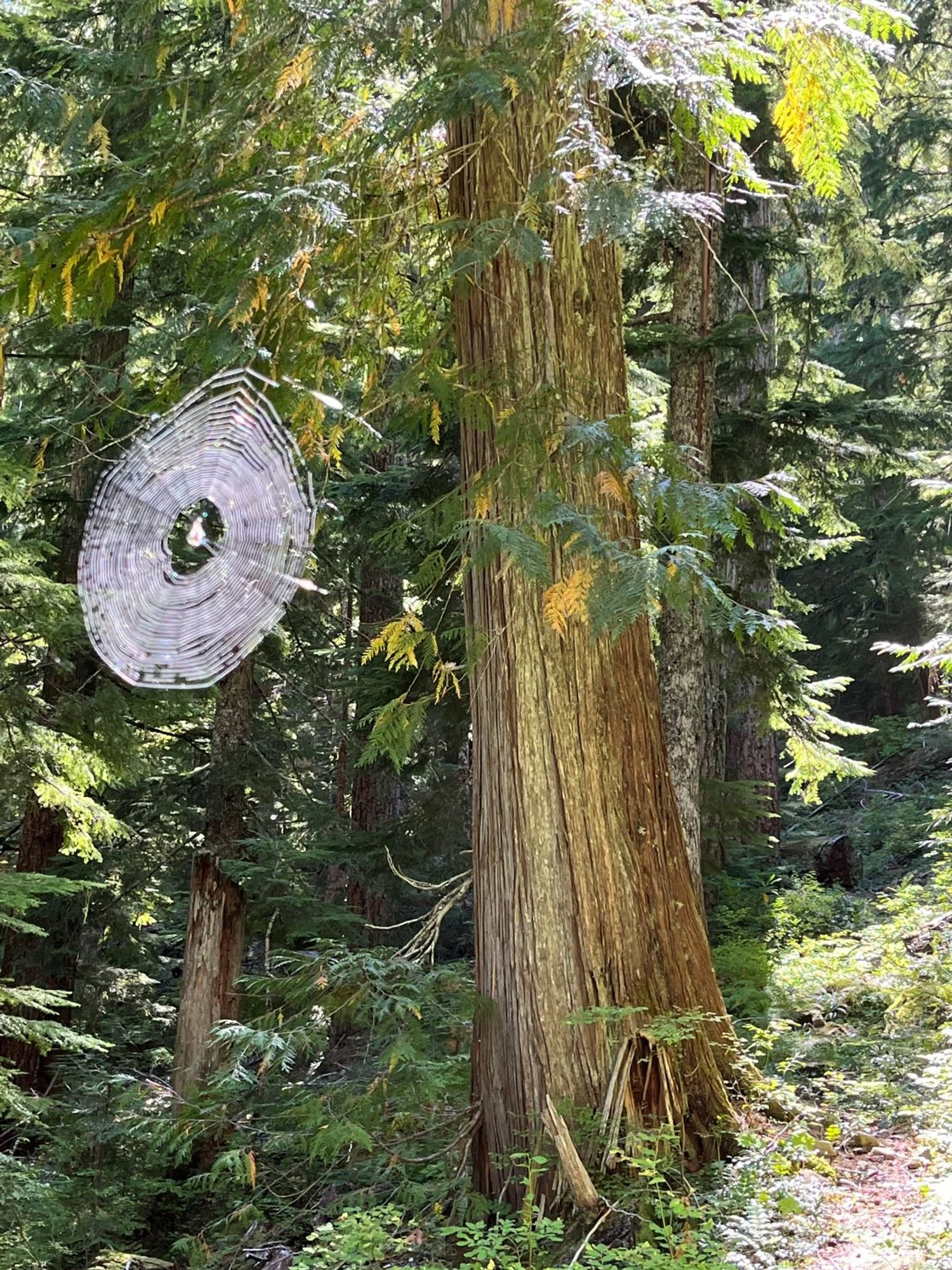
A spider's eye view

Large western hemlocks
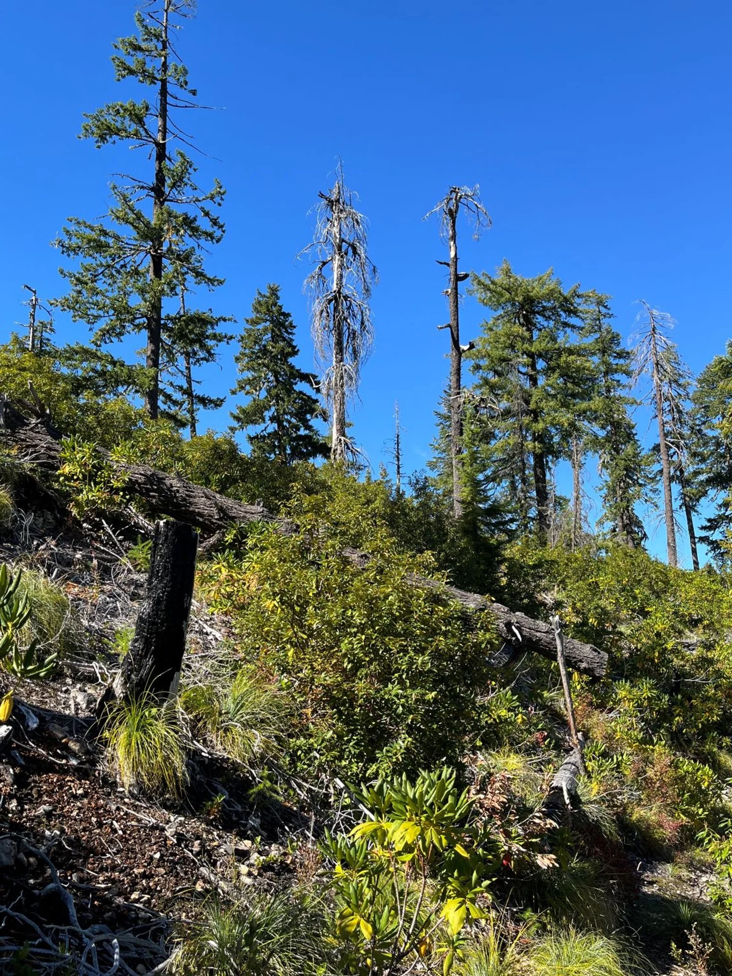
Recent fire (2020)
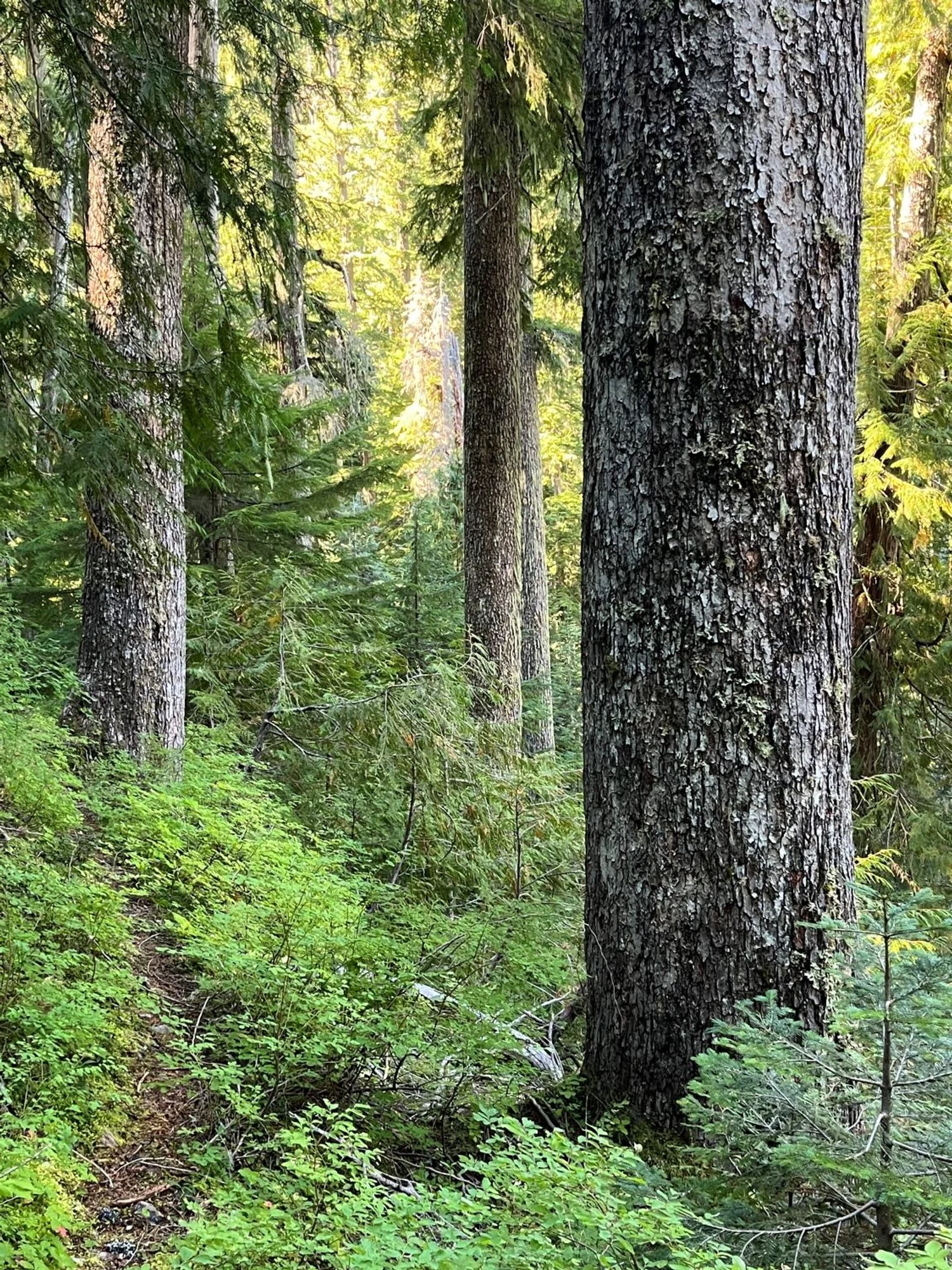
Hemlocks along the trail
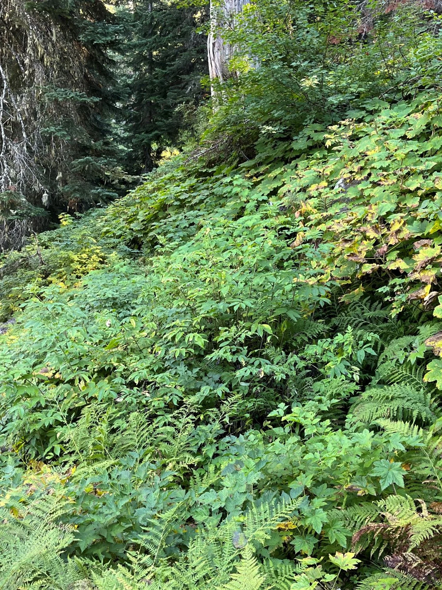
There's a trail in there
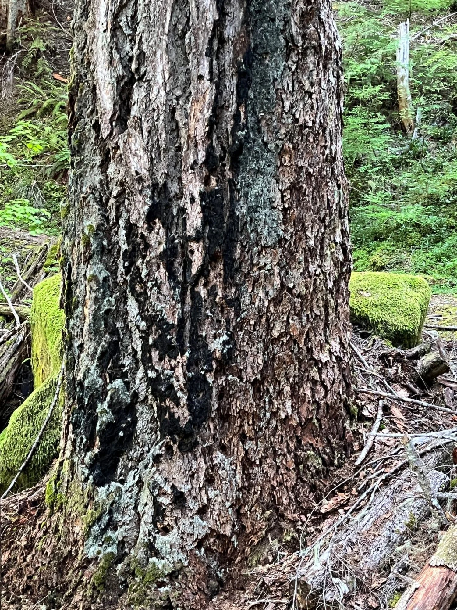
Fire-scorched Douglas-fir
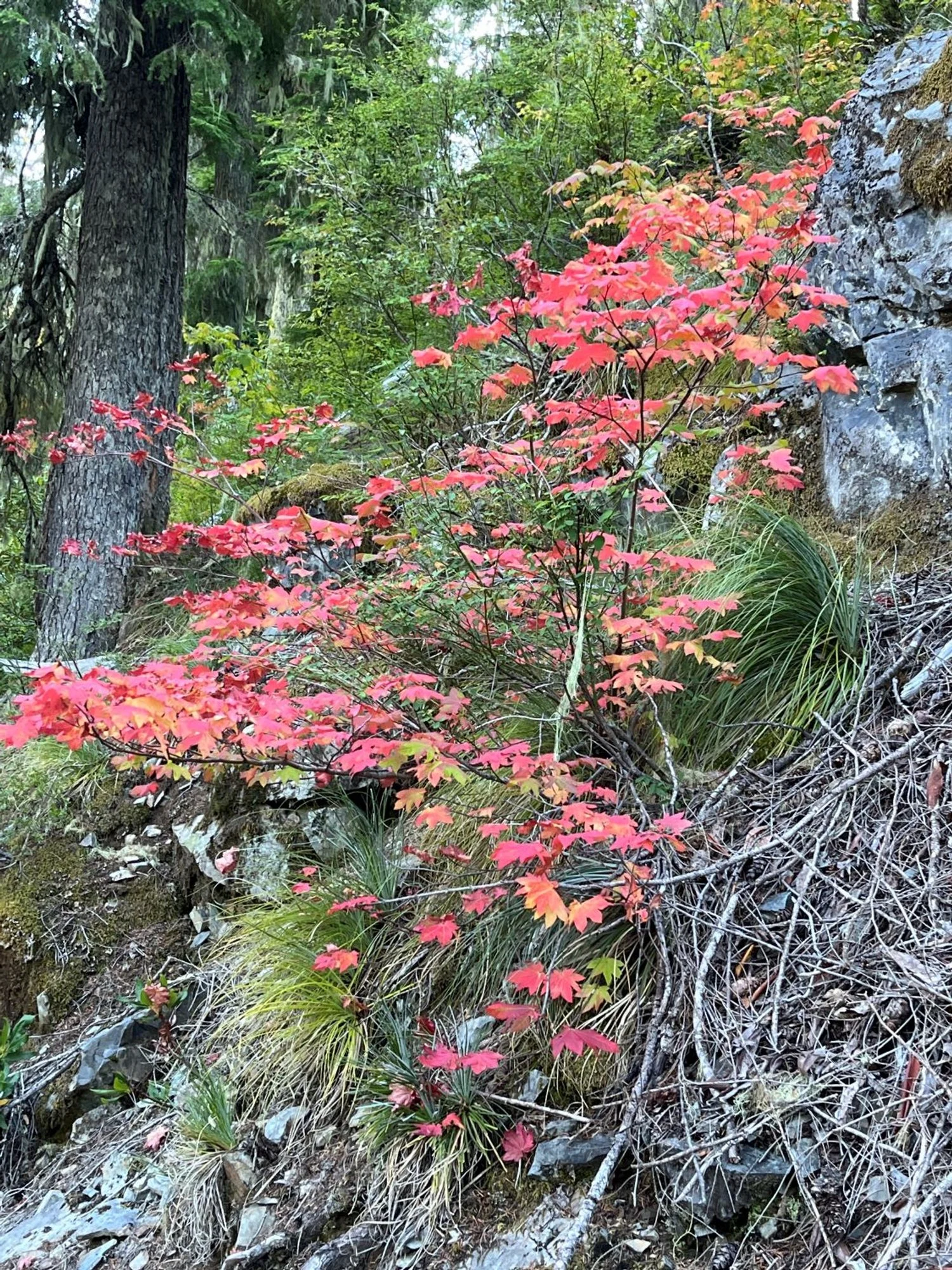
Fall color

Western redcedars