9. Gordan Peak Trail
Summary
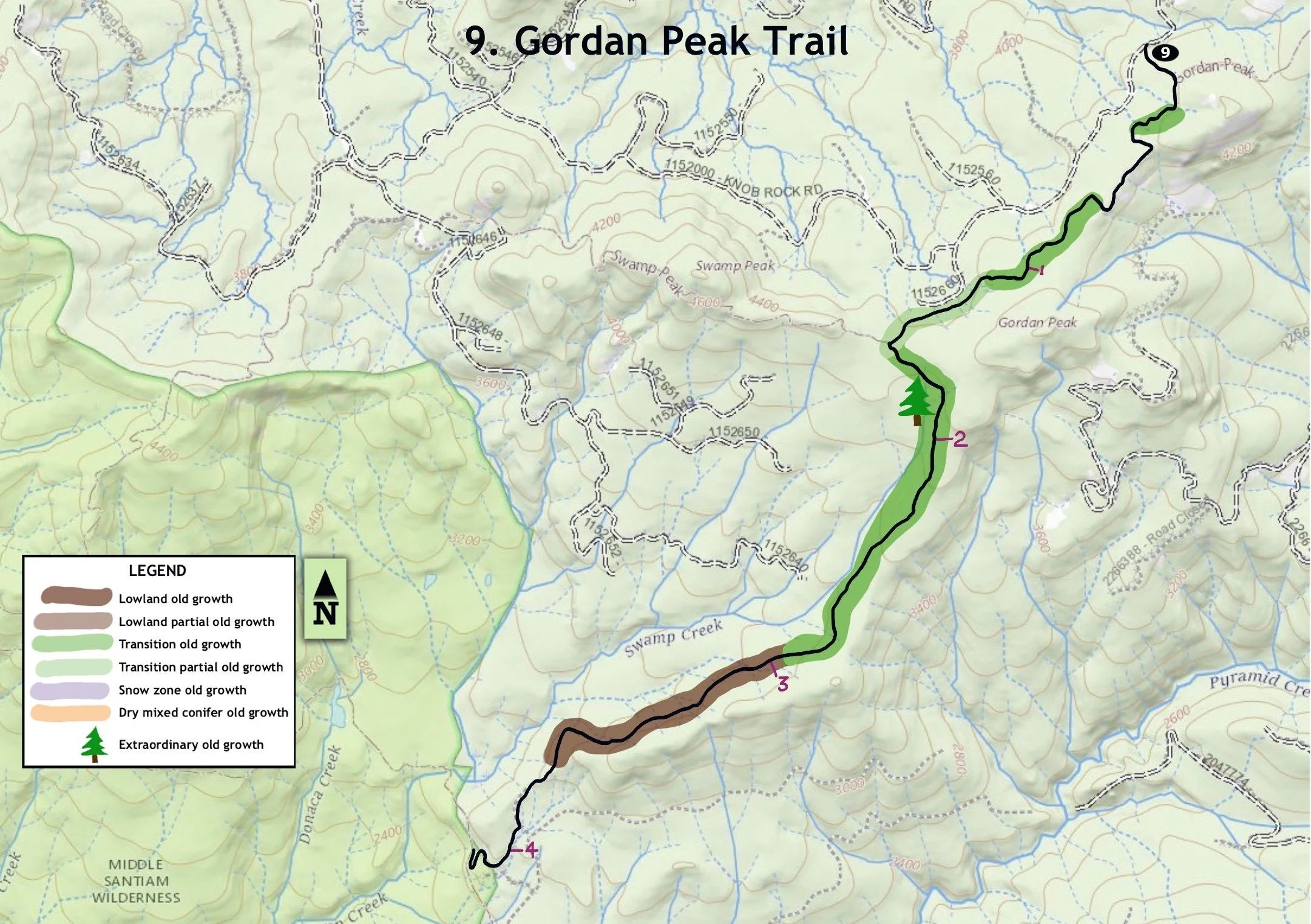
Length –4 miles one way
Difficulty – Moderate
Season – Summer to autumn
Elevation range –2,680 feet – 4,390 feet
Human imprint – Low (old plantations nearby)
Information - Willamette National Forest, Sweet Home Ranger District
Primary old growth features
Large expanse of remote old growth; huge western hemlocks; scattered super-old Douglas-firs.
Description
The Gordan Peak Trail (3387) provides a wonderful hike through the unique ancient forest found in and near the Middle Santiam Wilderness. The trail forms part of the 28-mile Old Cascade Crest loop used by mountain bikers and is well maintained.
Start out through an old plantation and turn right in a quarter mile, hiking past a couple of viewpoints of Three Fingered Jack and Three Pyramids before entering closed forest. The trail initially skirts a couple of older plantations, but also samples old growth blocks, including some notably large western hemlocks (4’-5’ thick). Turn left at a junction approximately 1 ½ miles from the trailhead and start a moderate downhill grade towards the Wilderness on the northwest side of a secondary ridge.
The trail soon curves through a beautiful stand of classic old growth featuring huge Douglas-fir and western hemlock, including a few gnarly-crowned Douglas-fir over 600 years old. Large noble fir and Pacific silver fir are also scattered throughout the first couple miles. The trail soon crosses an interesting earthflow where large trees are tipping in both uphill and downhill directions. This is diagnostic of slow-moving, deep-seated earthflows found in several locations in the Middle Santiam.
Attractive western redcedars mix into the stand as the trail continues to drop in elevation, adding diversity and beauty to the hike. A good stopping point is indicated where the trail descends more steeply and rounds the ridge heading more directly south. From here the trail leaves the old growth and drops into an older plantation before joining the Chimney Peak Trail (3382) inside the Wilderness (see hike 10).
25 years of change
Still a gorgeous forest; continuing low level of large snag formation.
How to get there
From U.S. Highway 20 by the upper end of Foster Lake (4 miles east of Sweet Home), turn north onto the Quartzville Road and head toward Green Peter Lake. Drive well past the reservoir, staying right on FR 11 at a fork in the road 25 miles from the highway, and take a right onto the east end of FS Road 1152 approximately 40 miles from the Highway 20. Trailhead parking is located 1.4 miles down the road on the right. FR 1152 can also be reached from the east via the Straight Creek Road (FR 11), just over 10 miles from Highway 22.

Welcome ...

Huge western hemlock

Classic old growth

Gnarly-crowned super old Douglas-fir
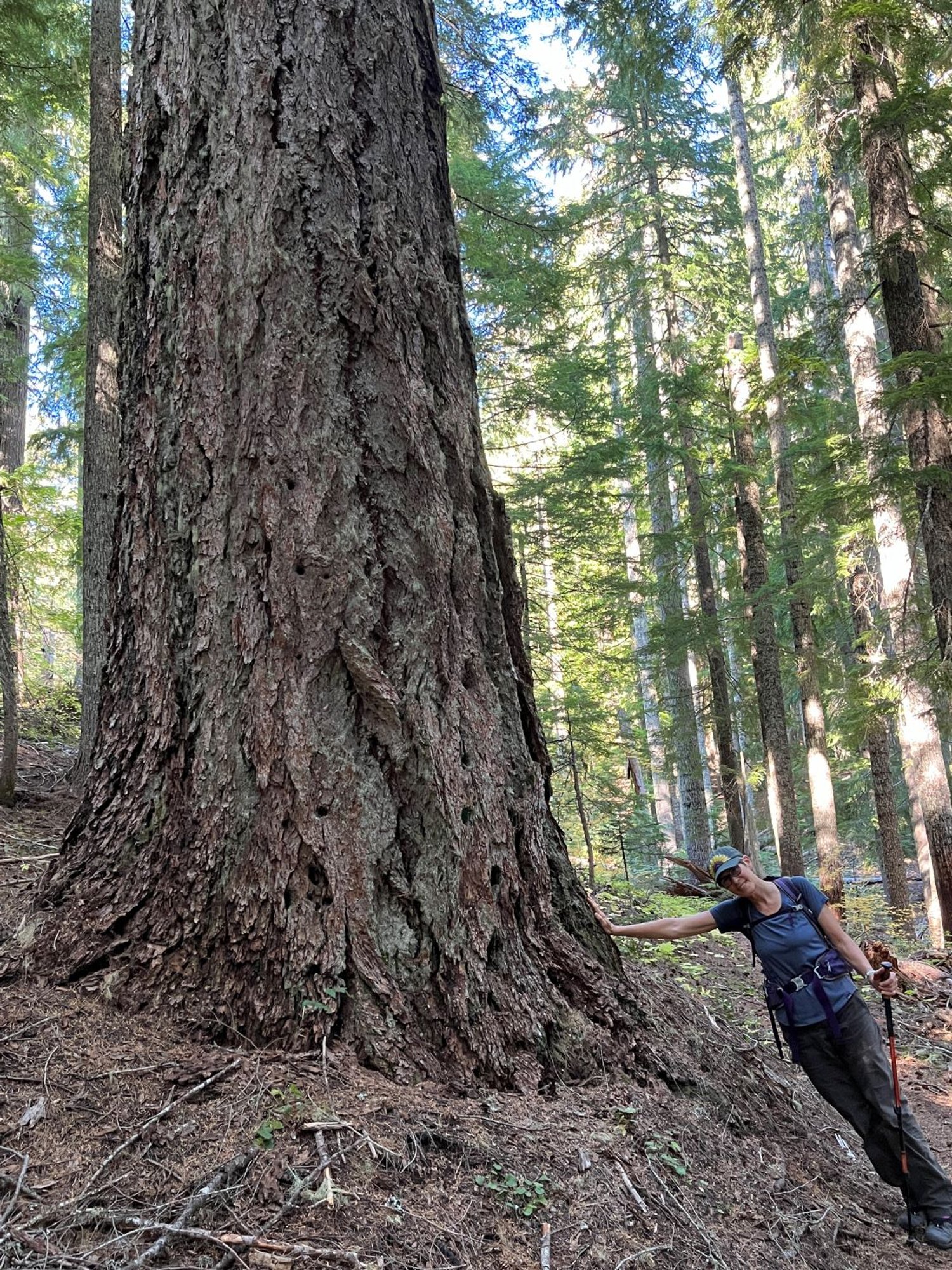
Enormous Douglas-fir

Tippy old trees on earthflow
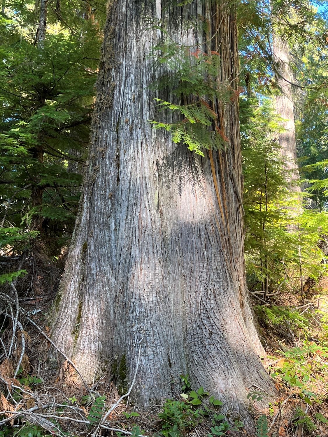
Old western redcedar
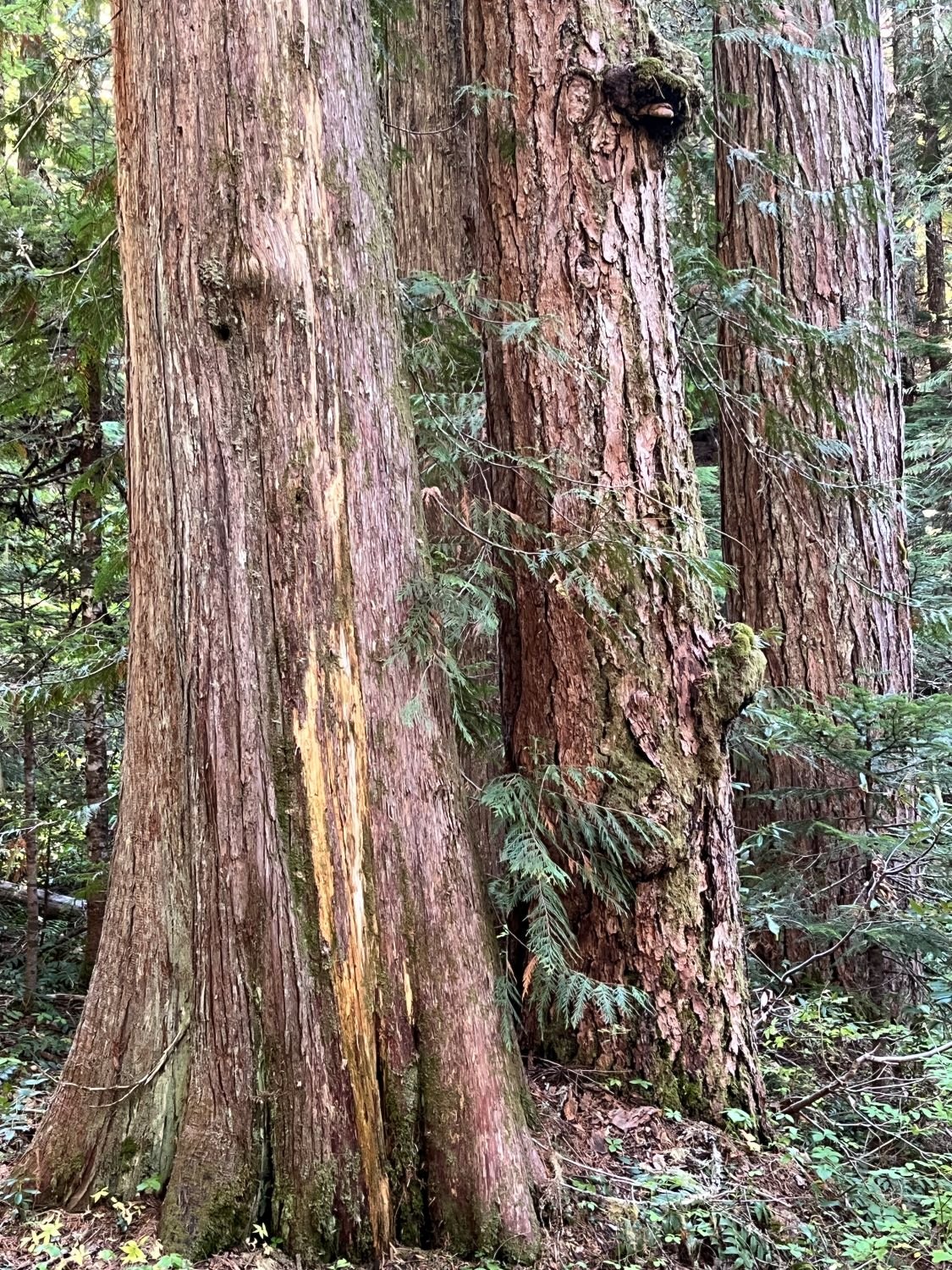
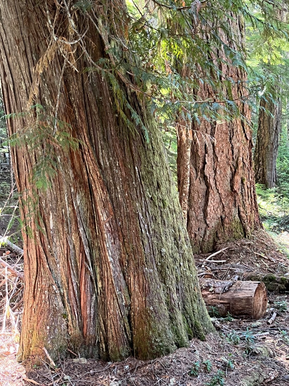
Redcedar and Douglas-firs

Old Pacific silver fir
