34. Fret Creek
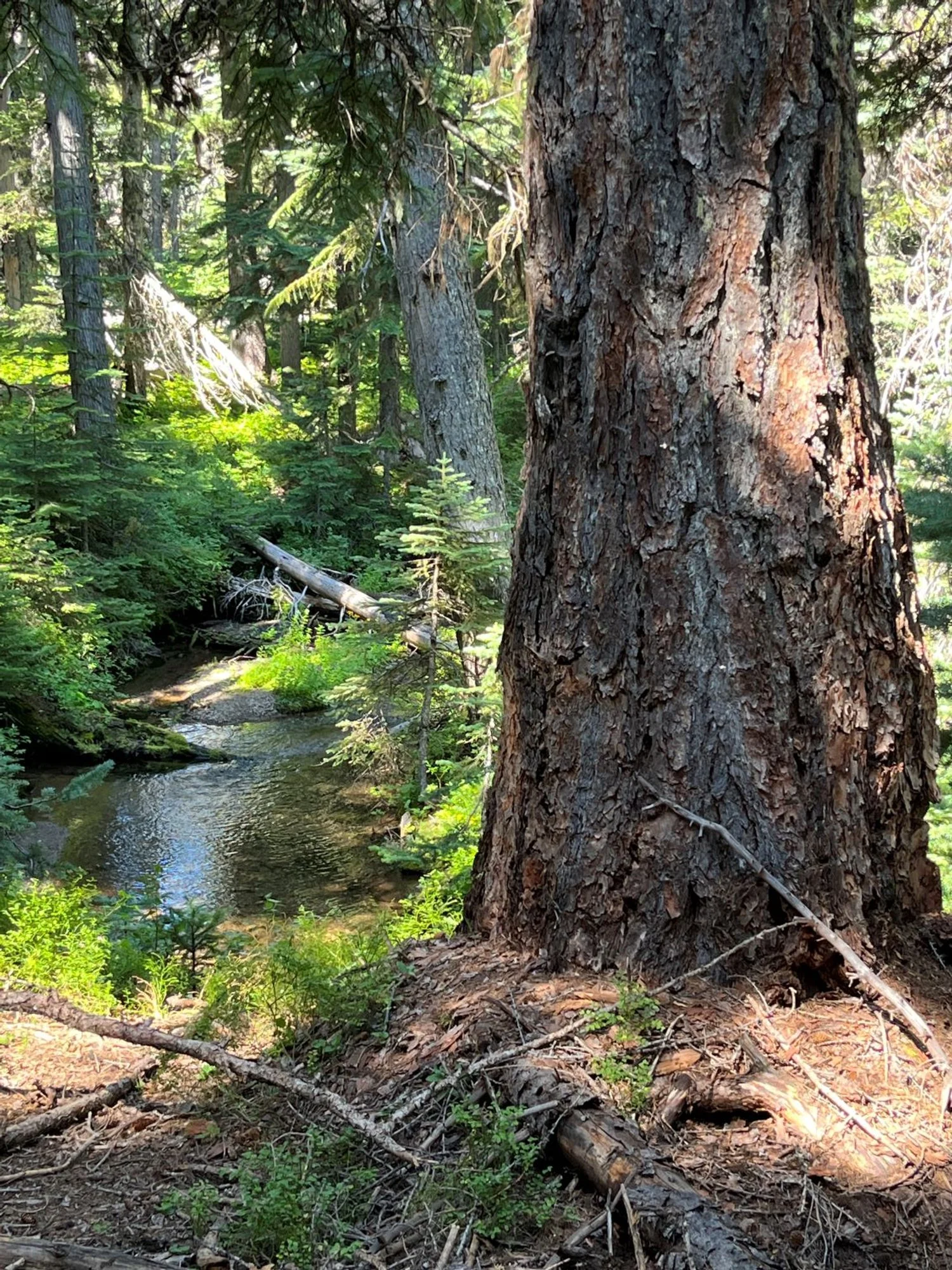
Western larch by Fret Creek
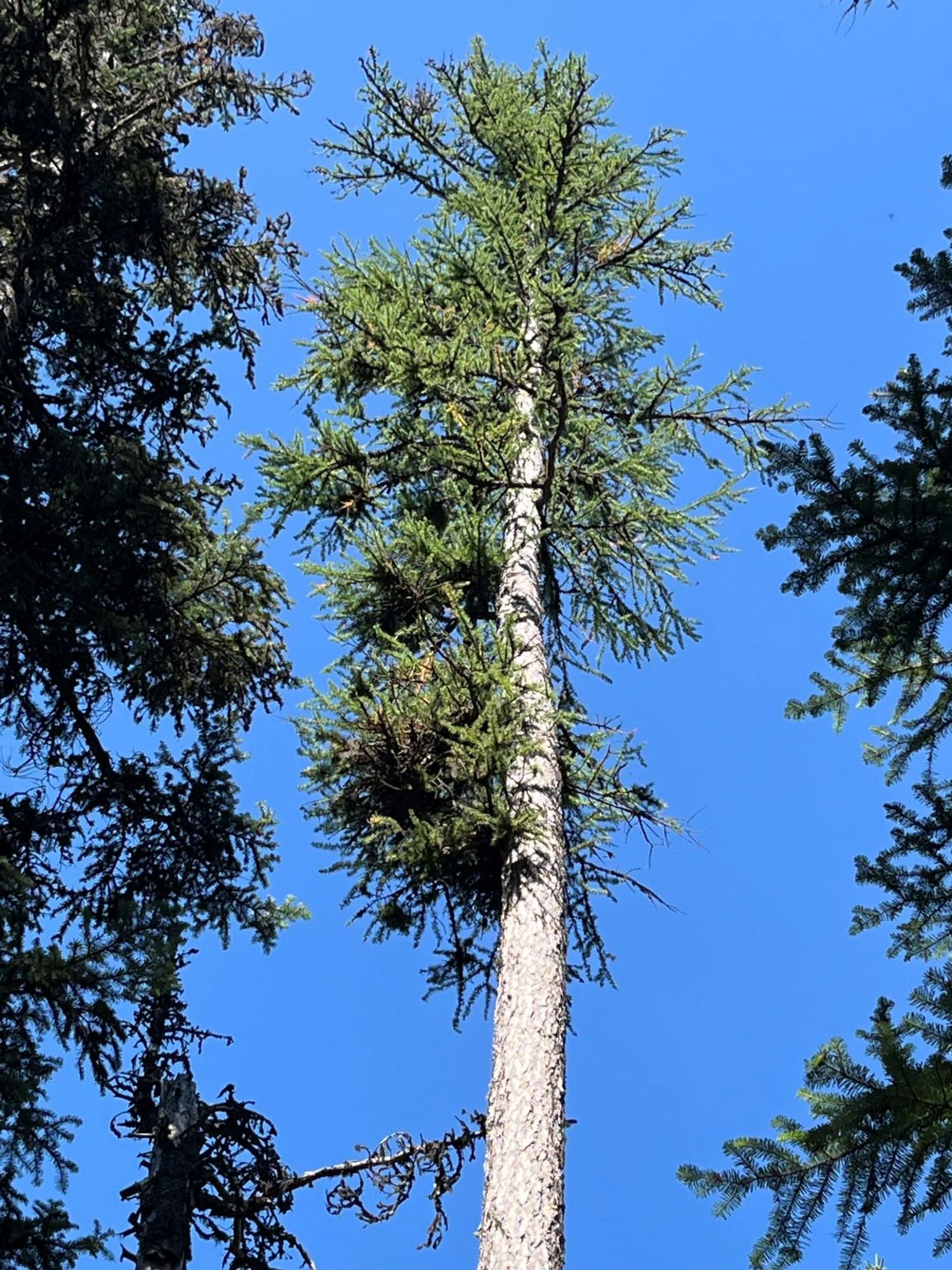
Distinctive western larch crown
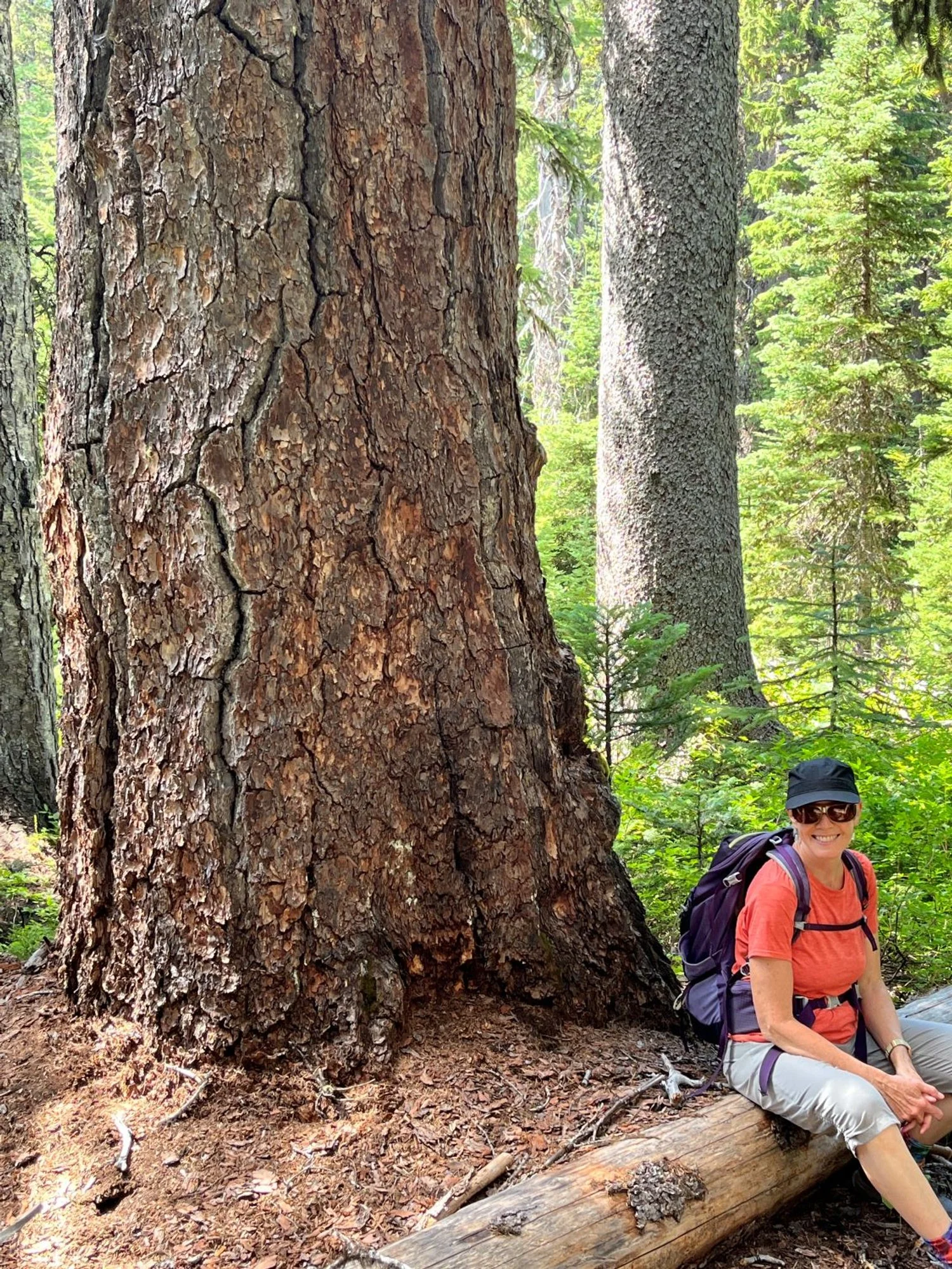
Giant larch and a happy hiker
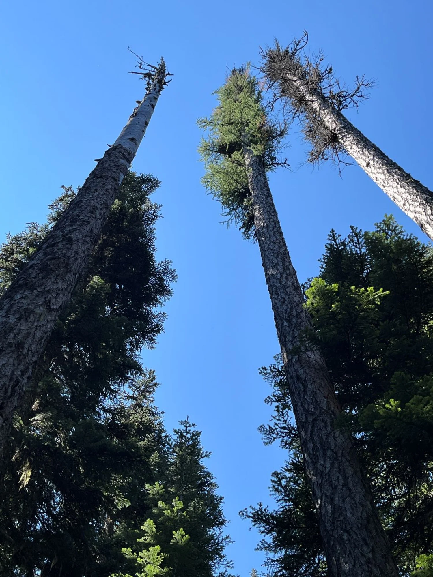
Larch are dying out
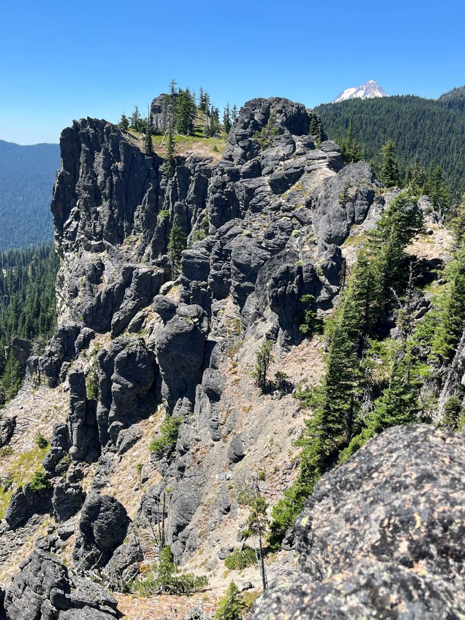
Mt. Hood peaking over the ridge
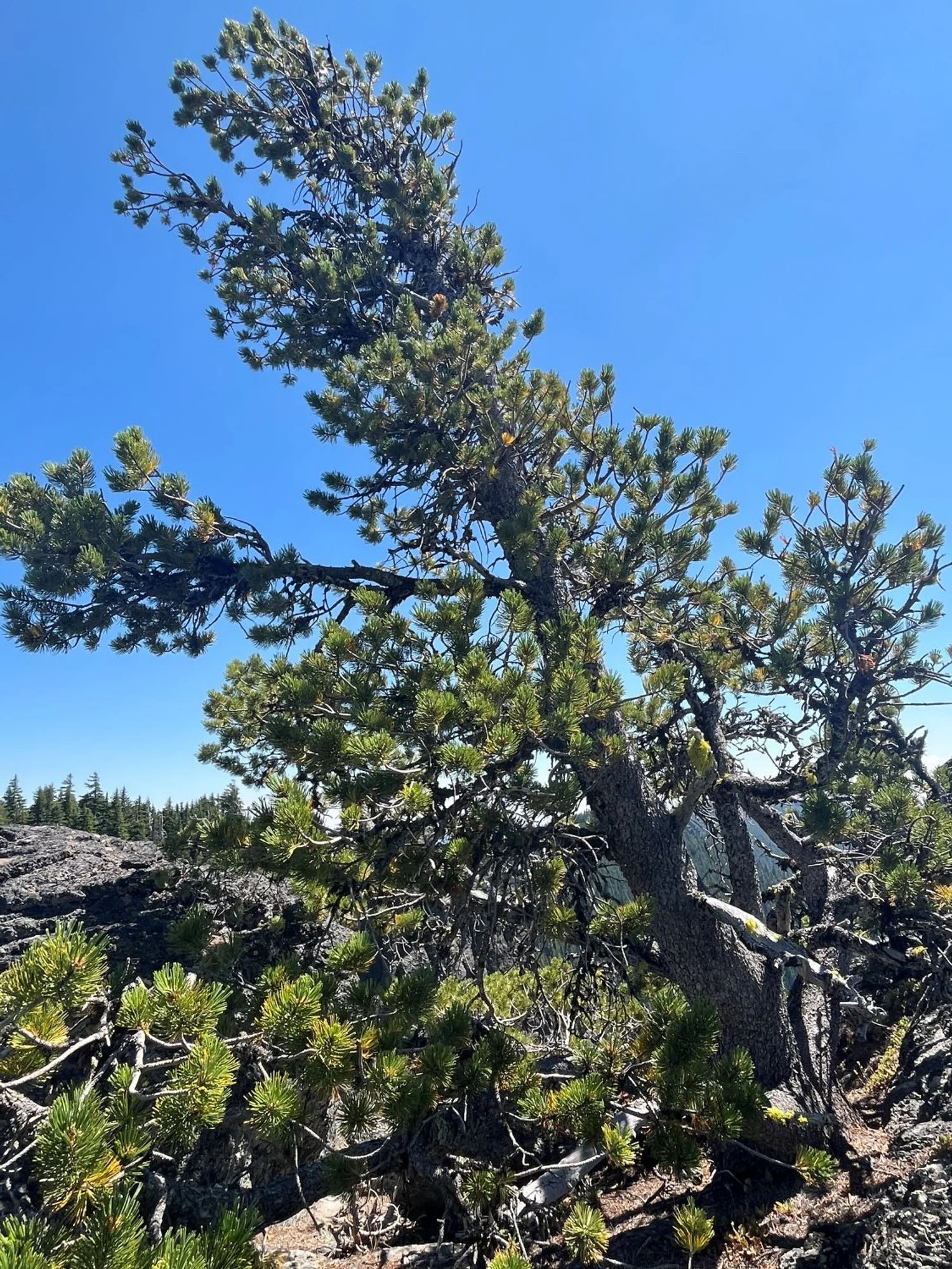
Whitebark pine
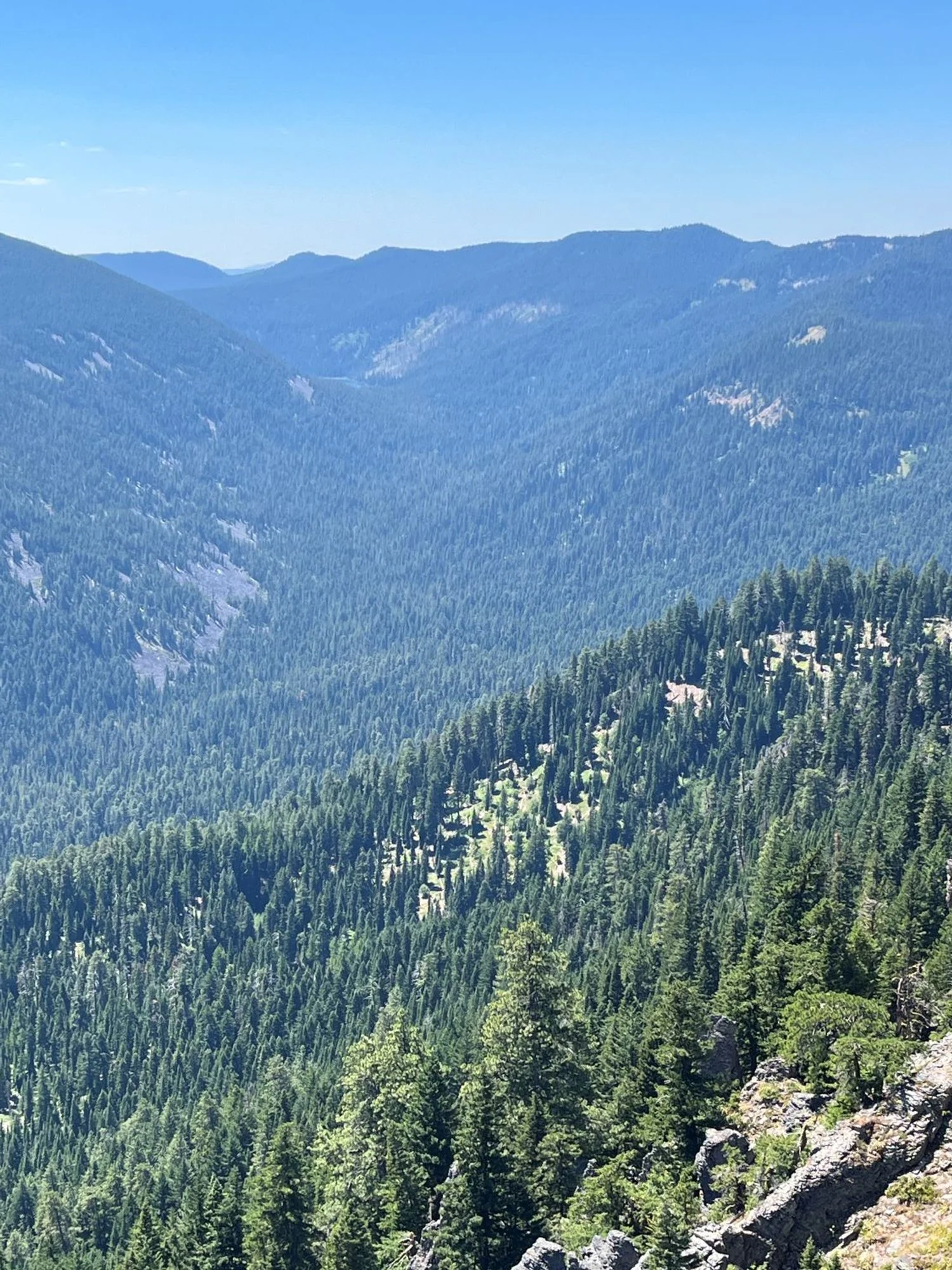
Upper Badger Creek Wilderness
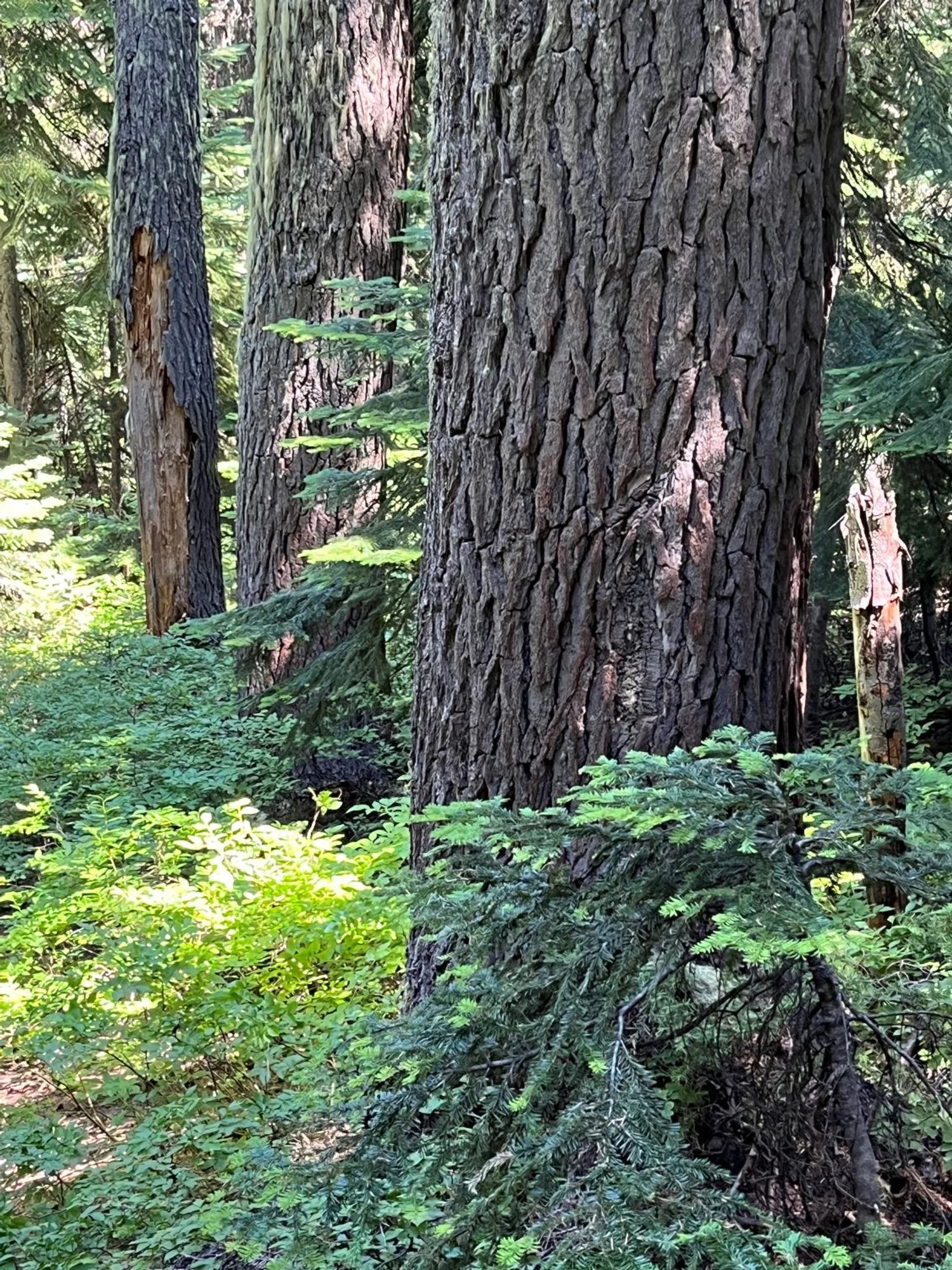
Mountain hemlock by the trail
Gnarly old larch