33. Fifteenmile Creek Loop
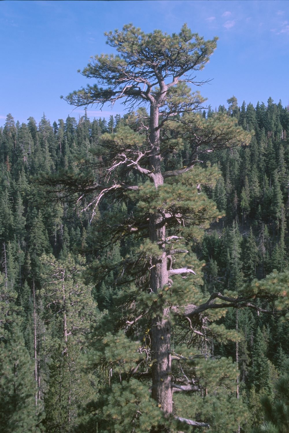
Park-like ponderosa pine
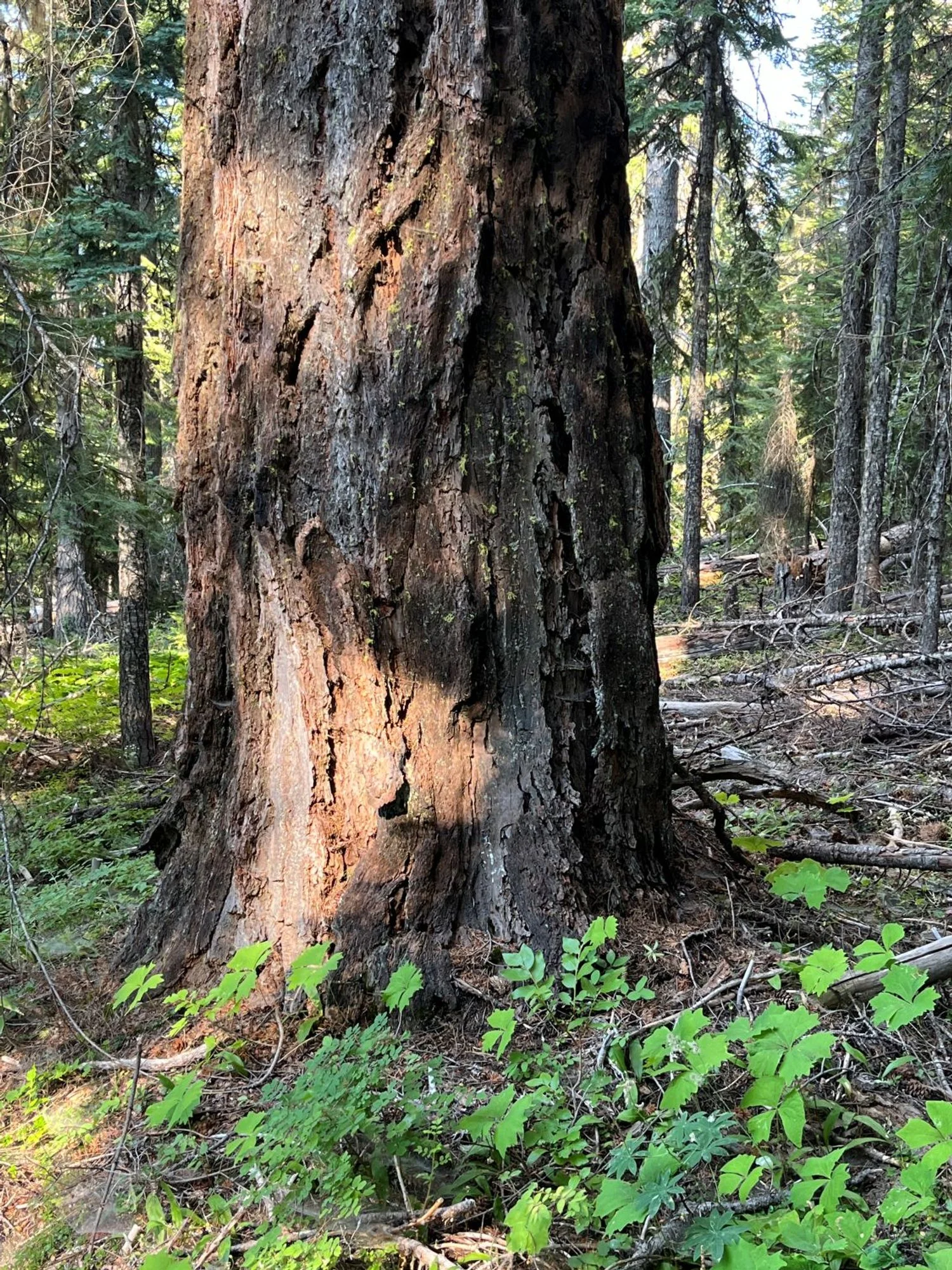
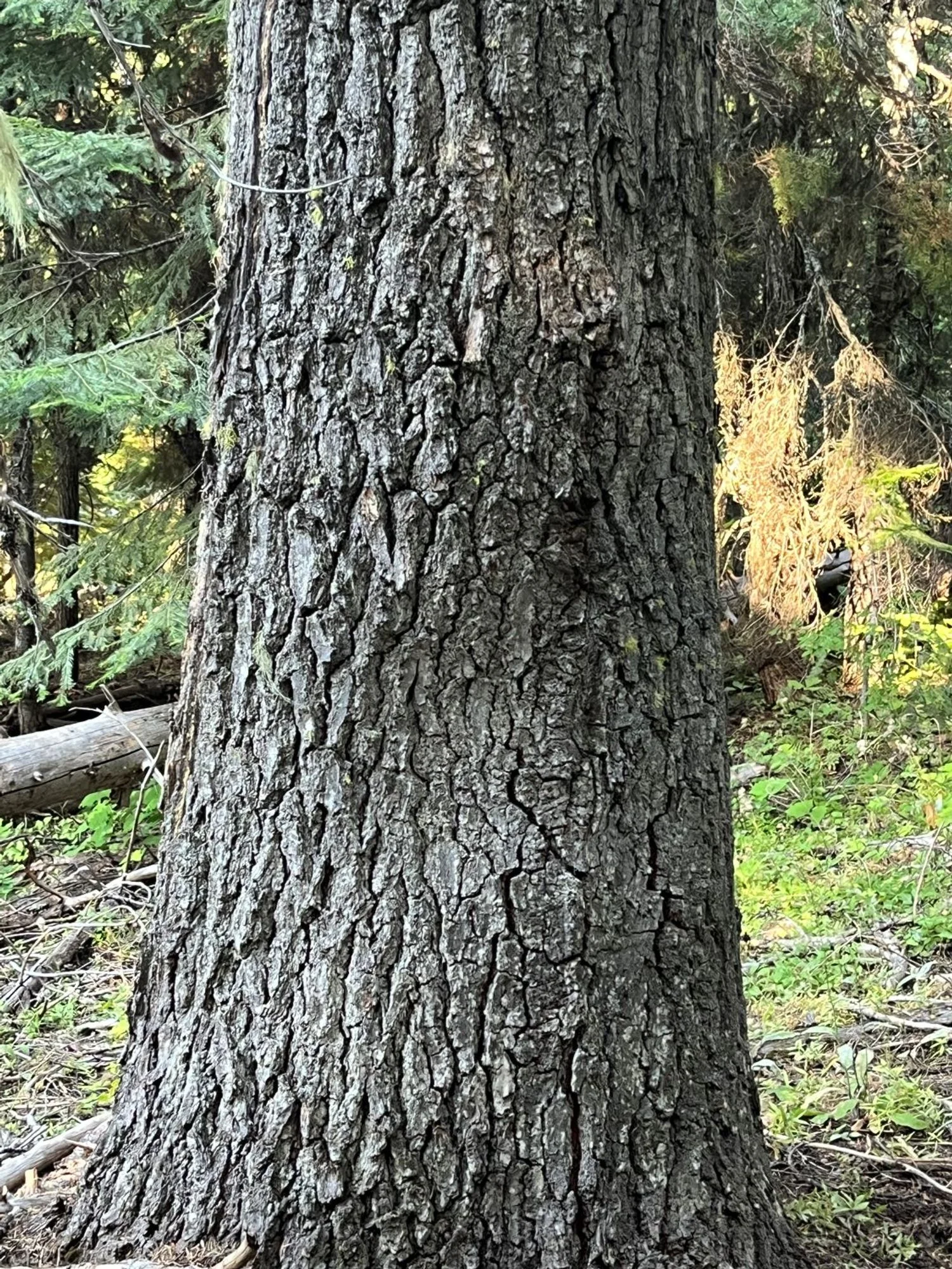
Thick-barked Douglas-fir
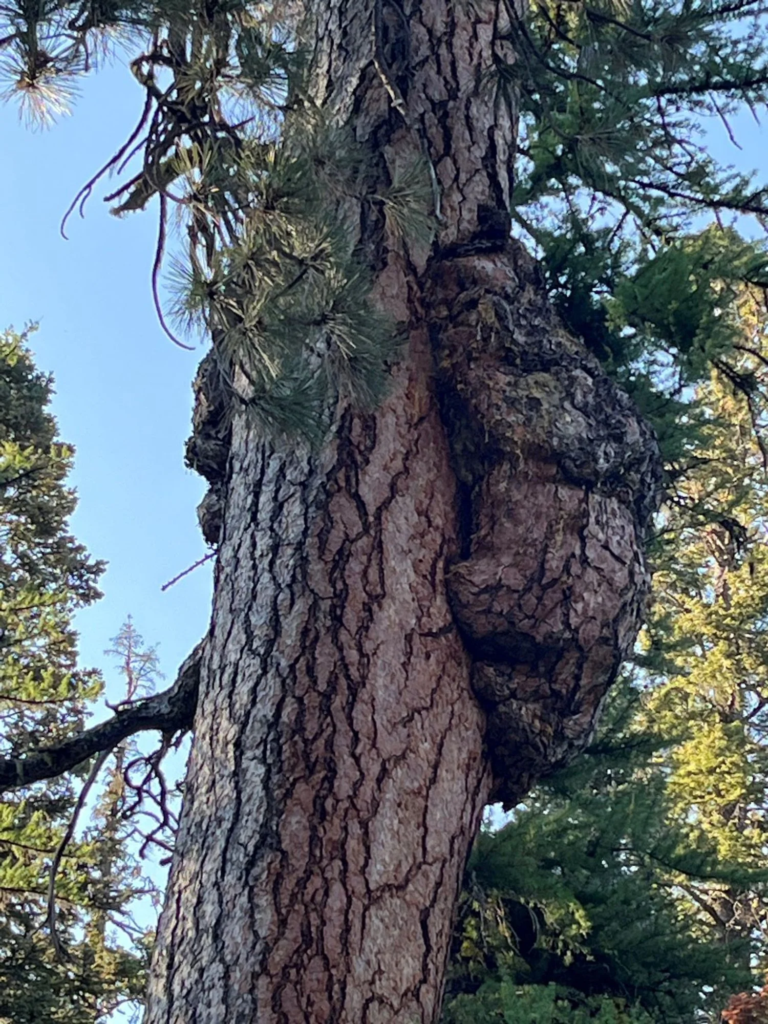
Something's happening here ...
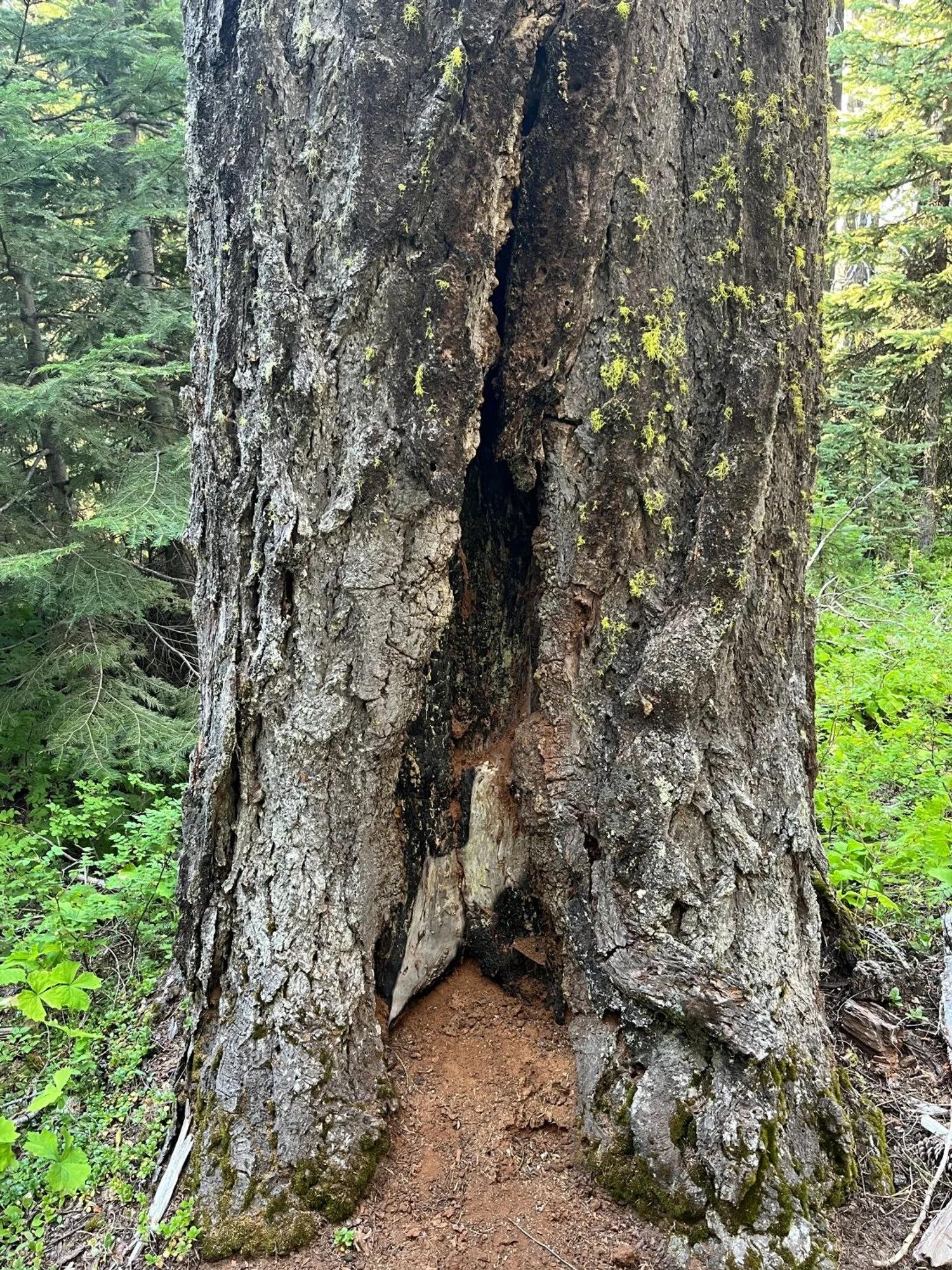
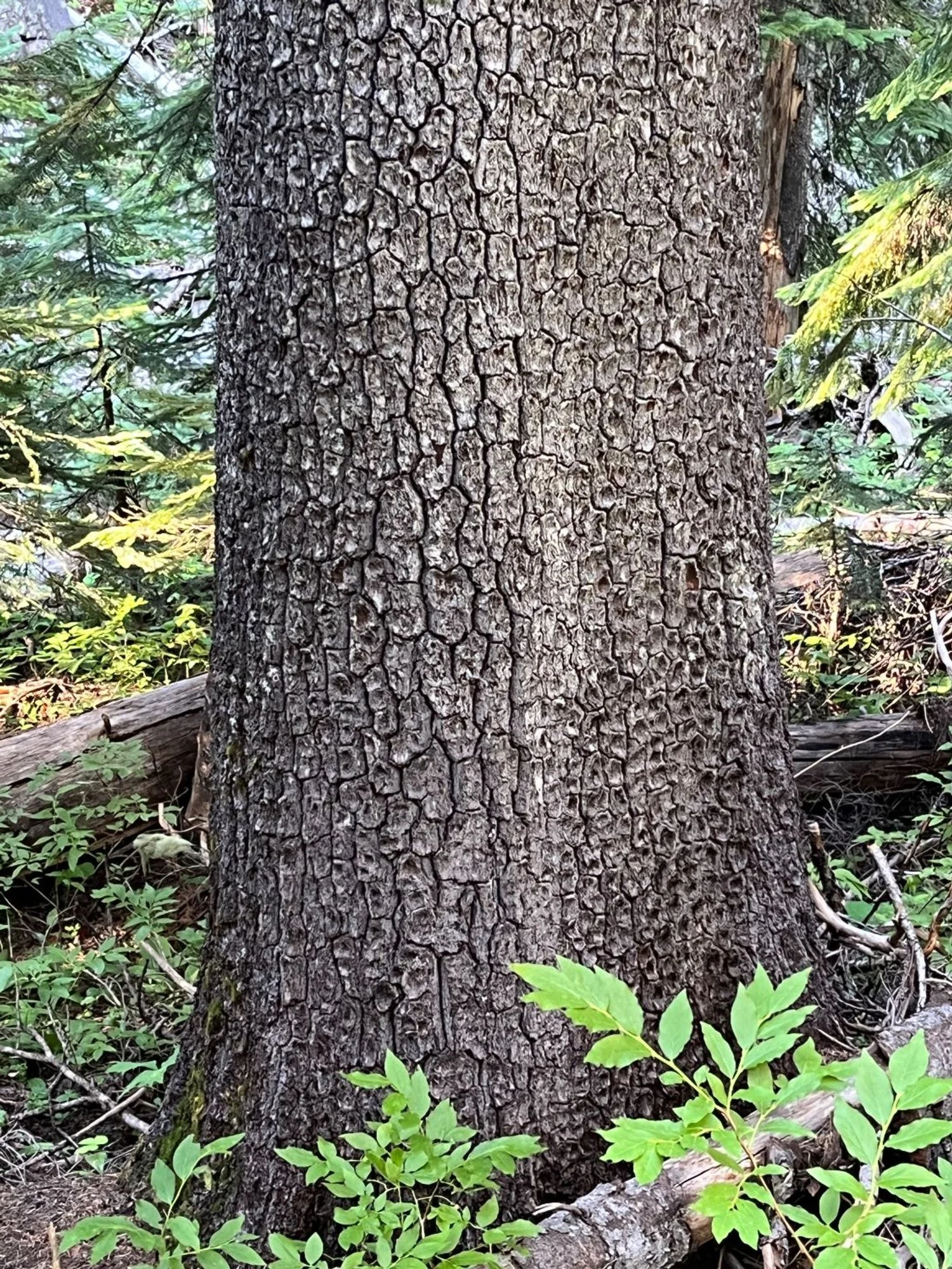
Multiple fire scars on Douglas-fir
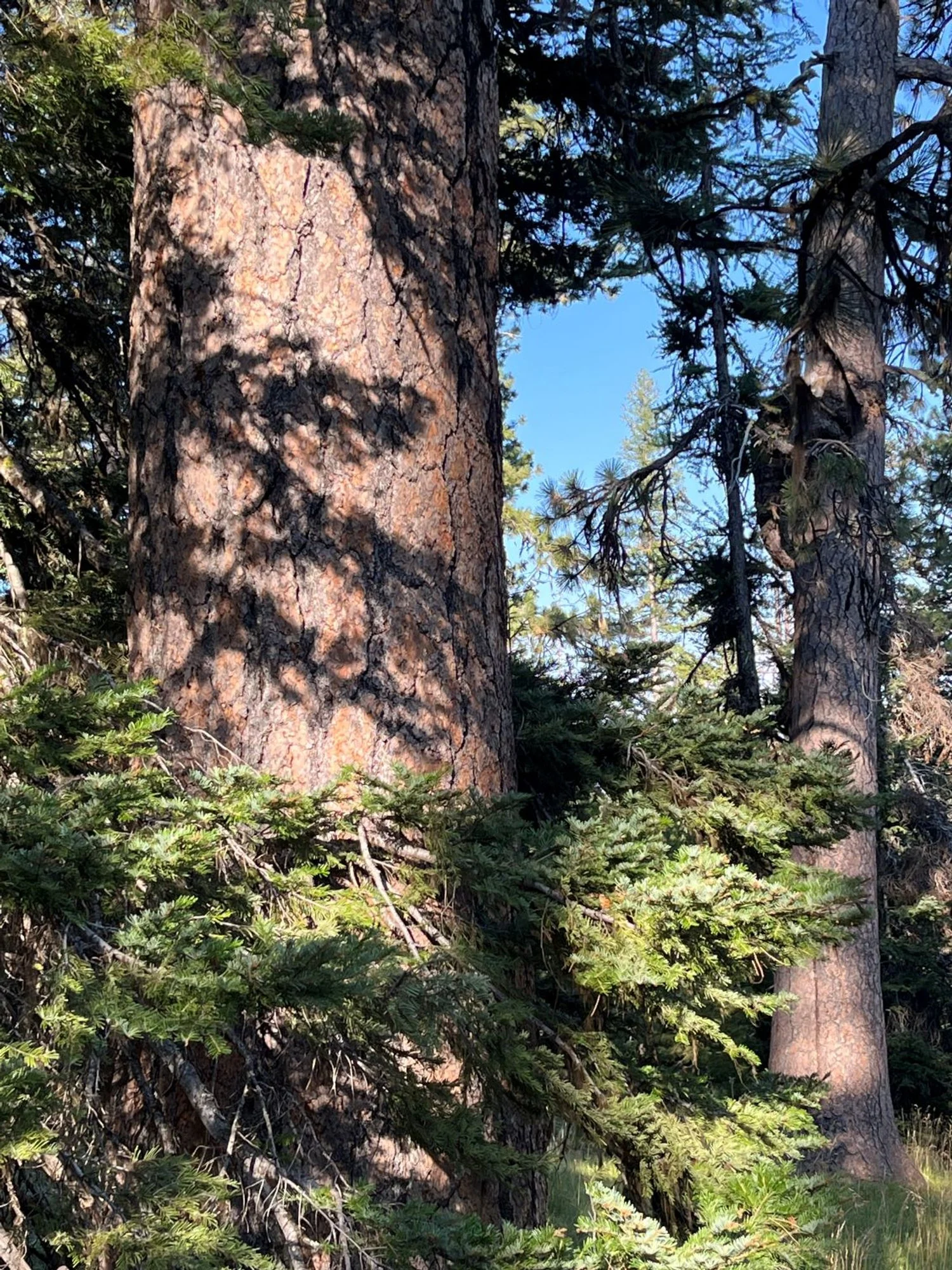
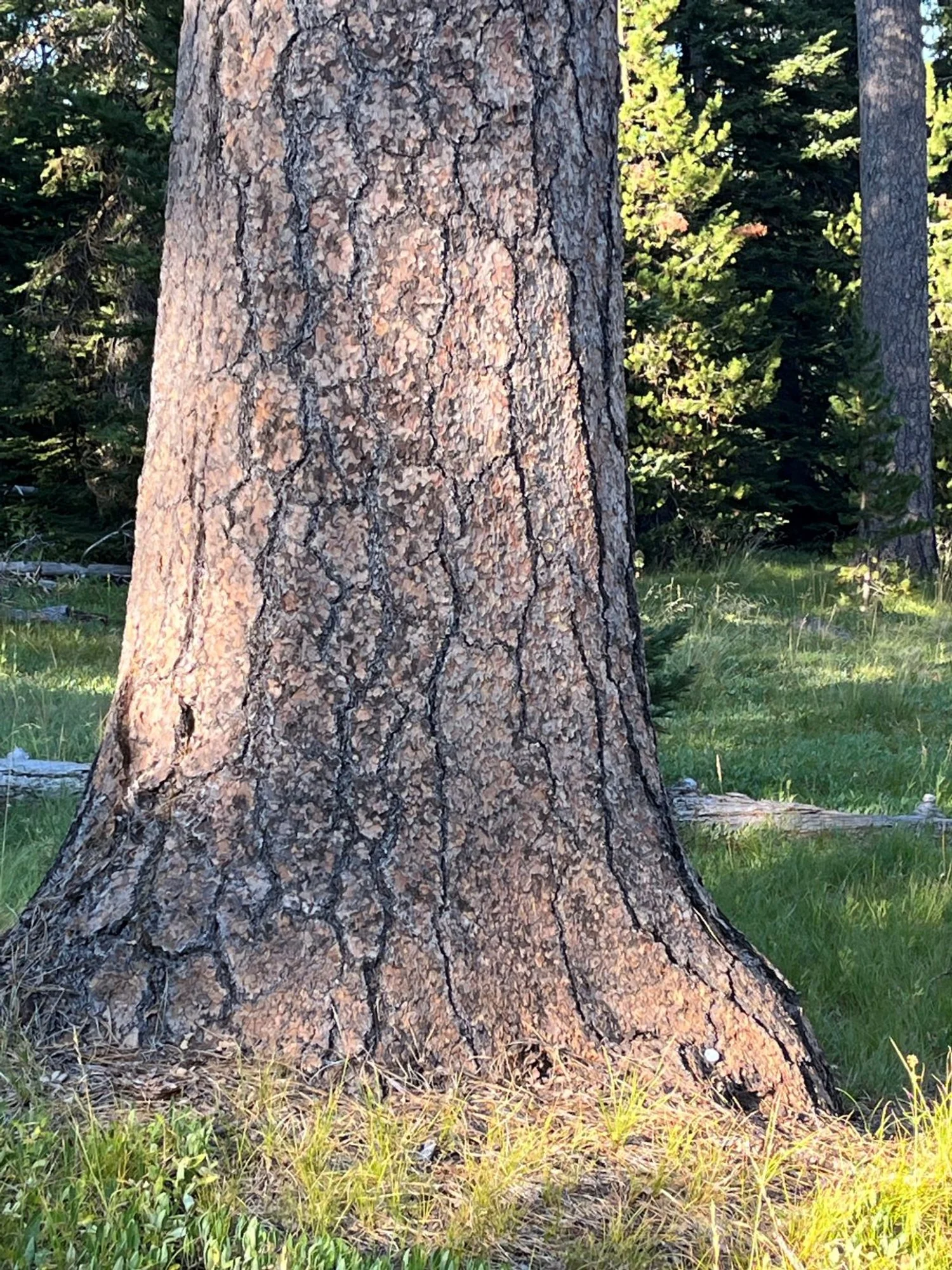
Chunky ponderosa pine

Pines, meadow and rocks (2002)
Old pine over the gorge (2002)
Large grand fir

Trio of pines (1992)
Western white pine