24. Upper Badger Loop
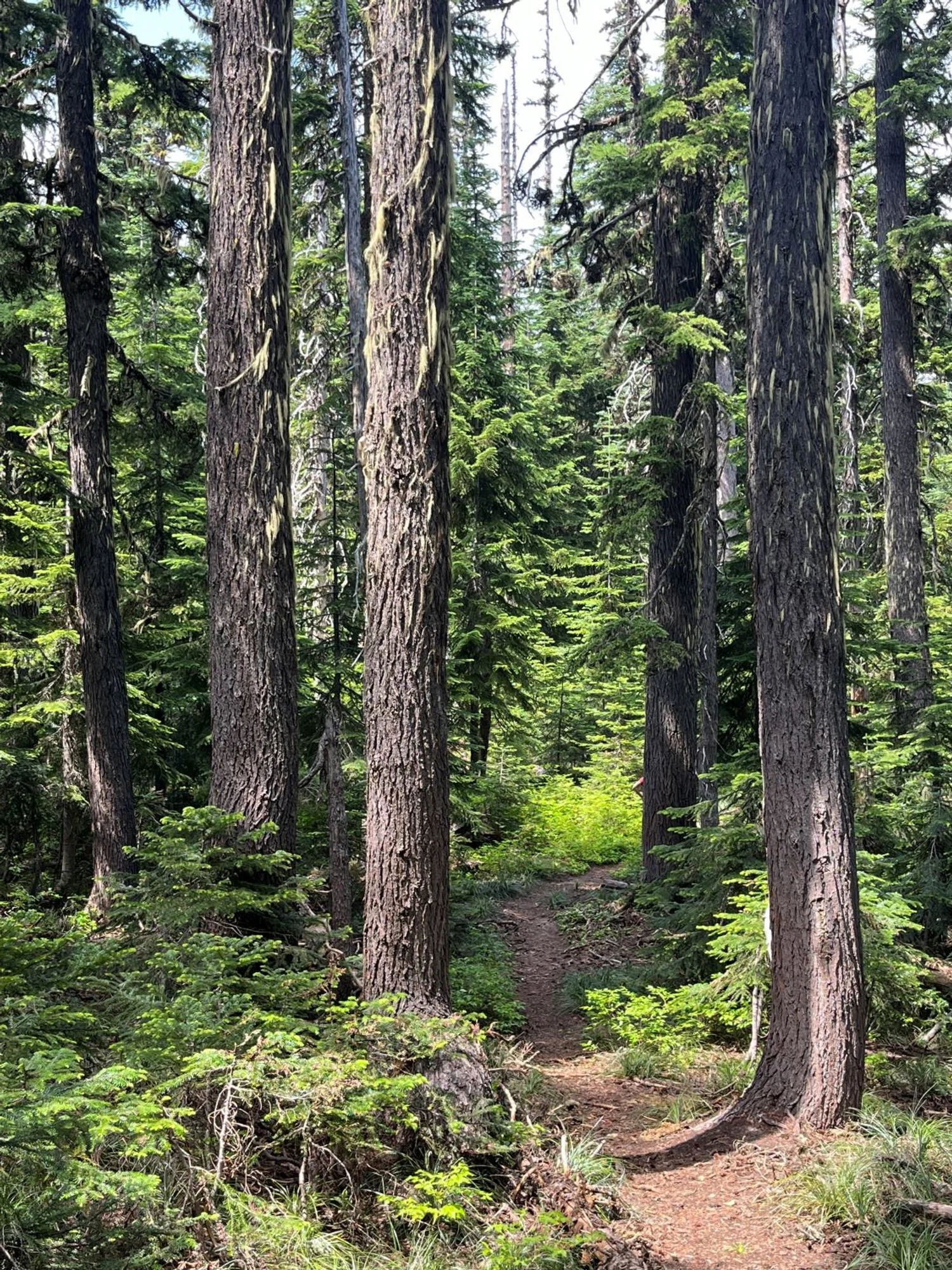
Mountain hemlock
Badger Lake and upper Badger Creek basin
Mountain hemlock
Western larch
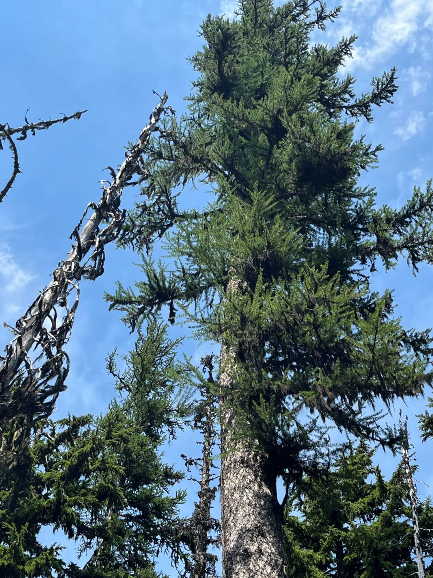
Western larch
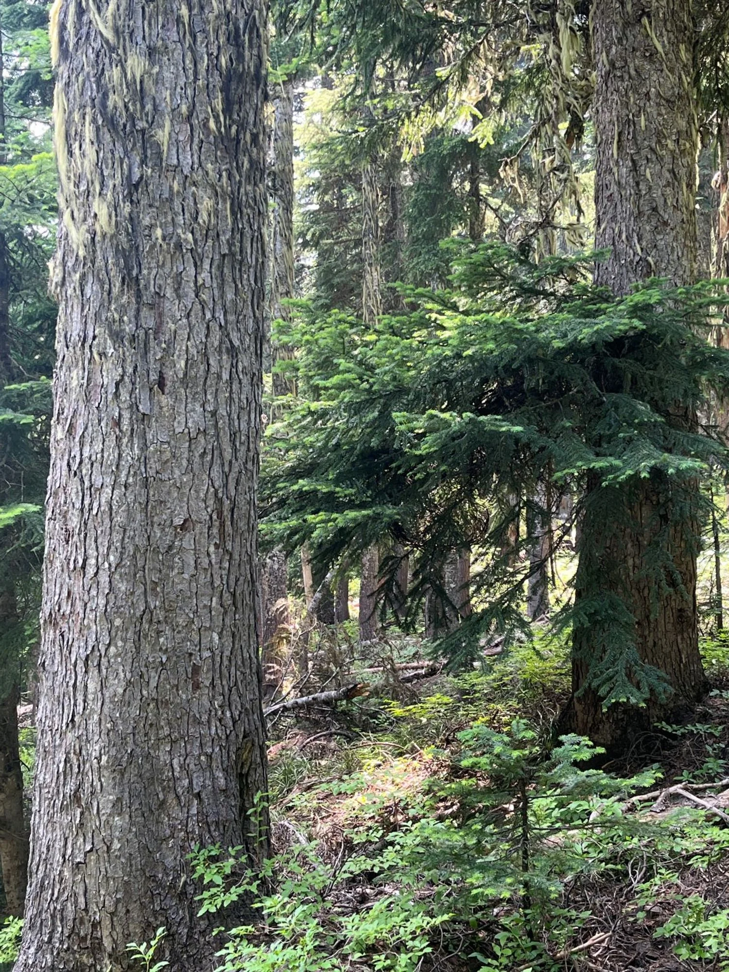
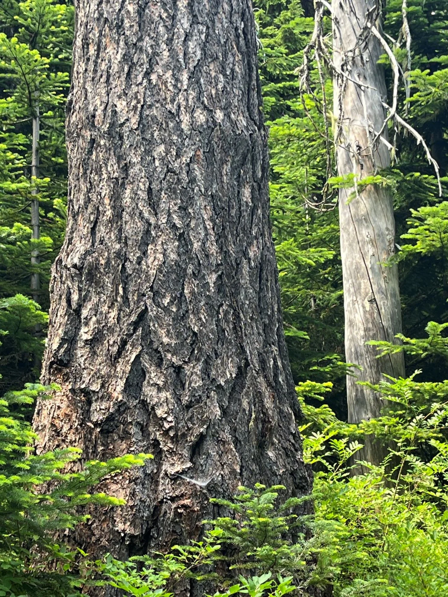
Pacific silver fir
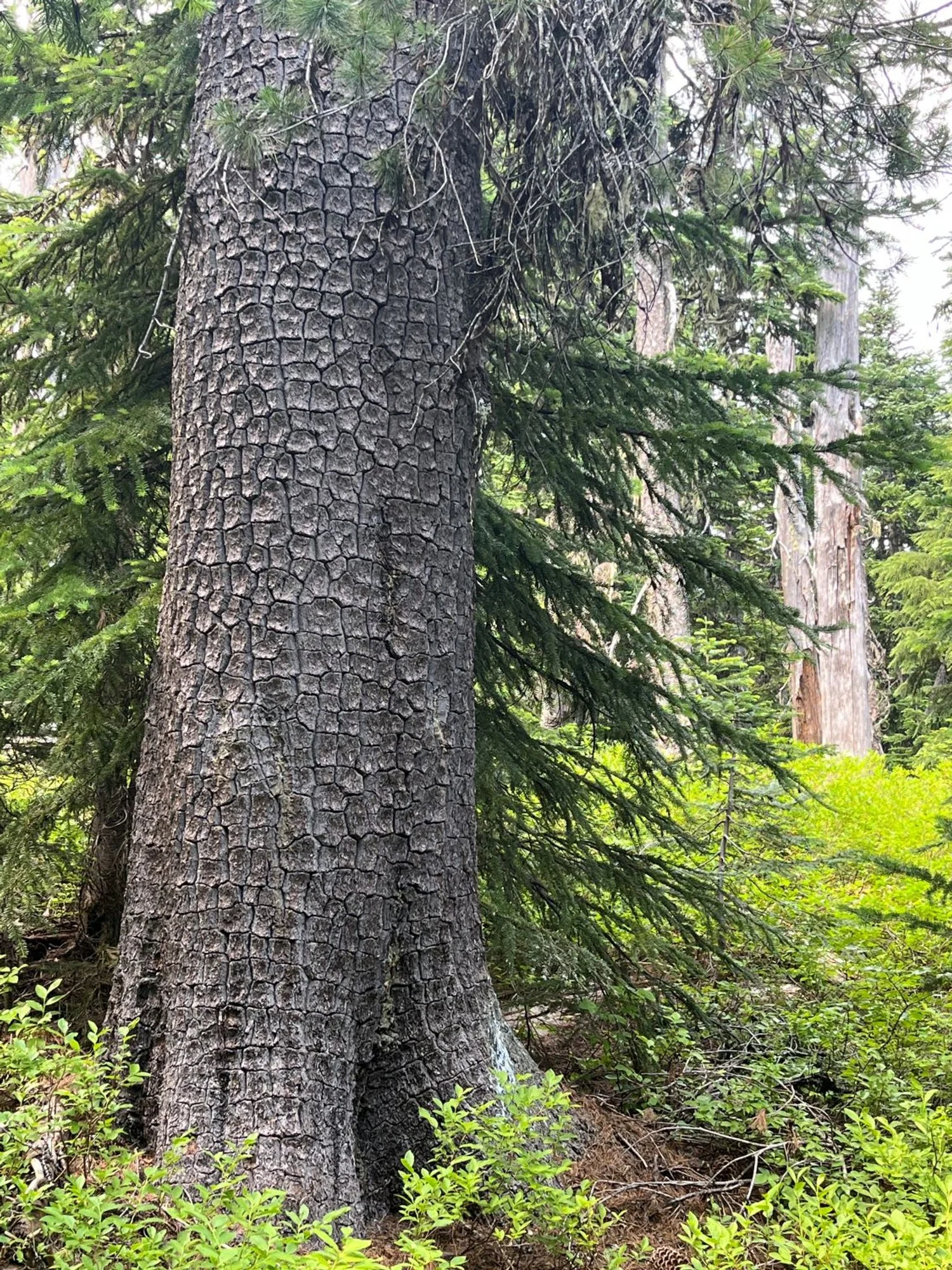
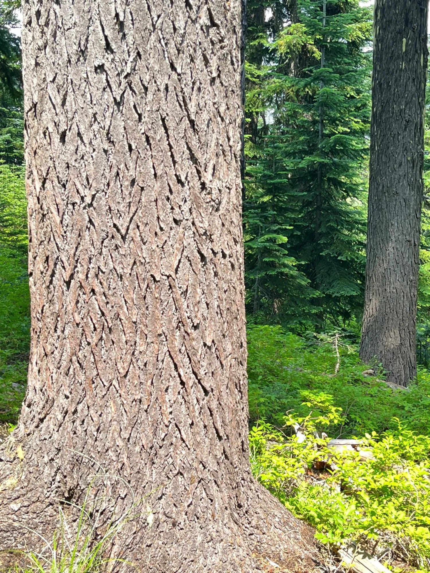
Healthy western white pine
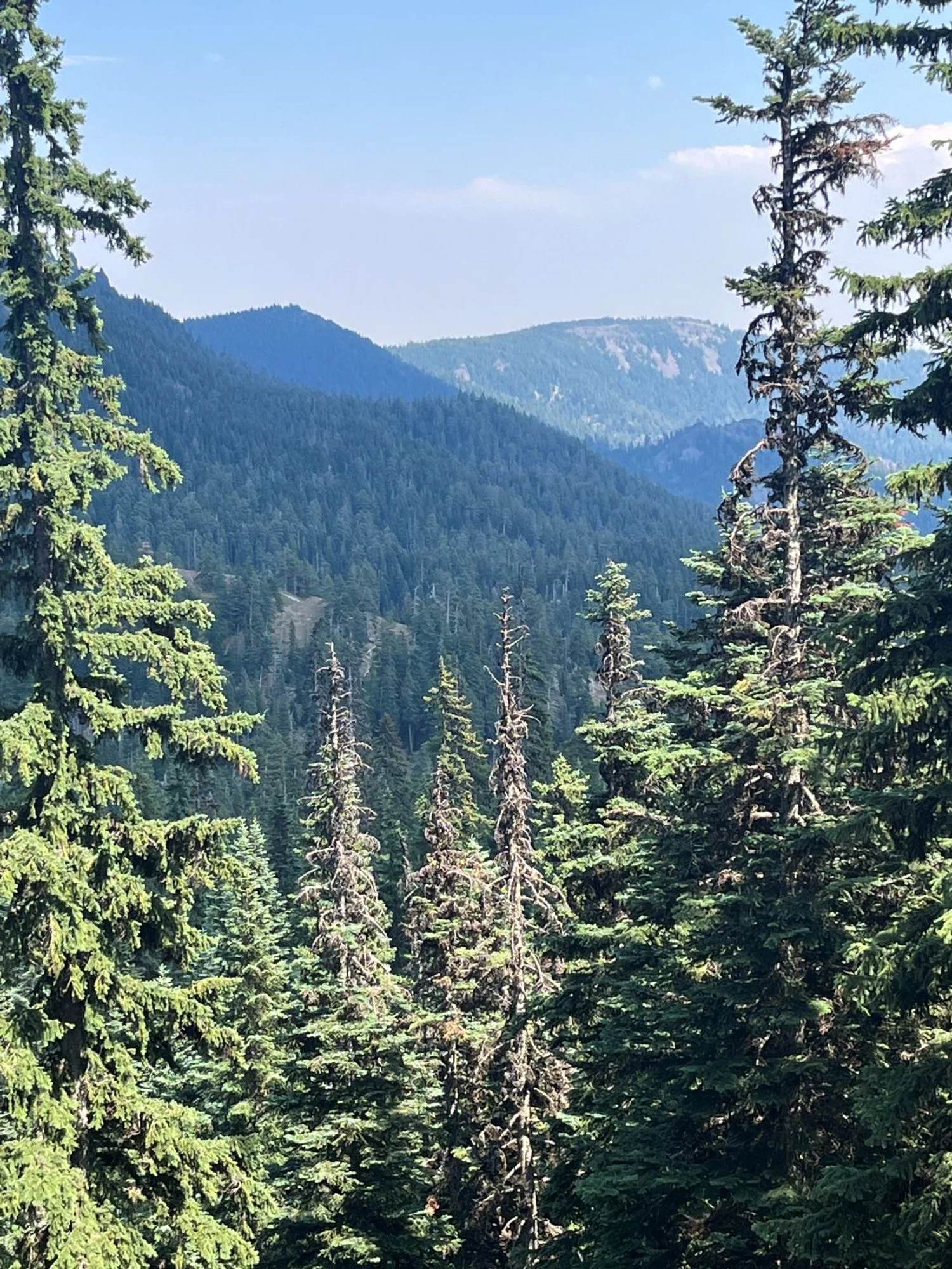
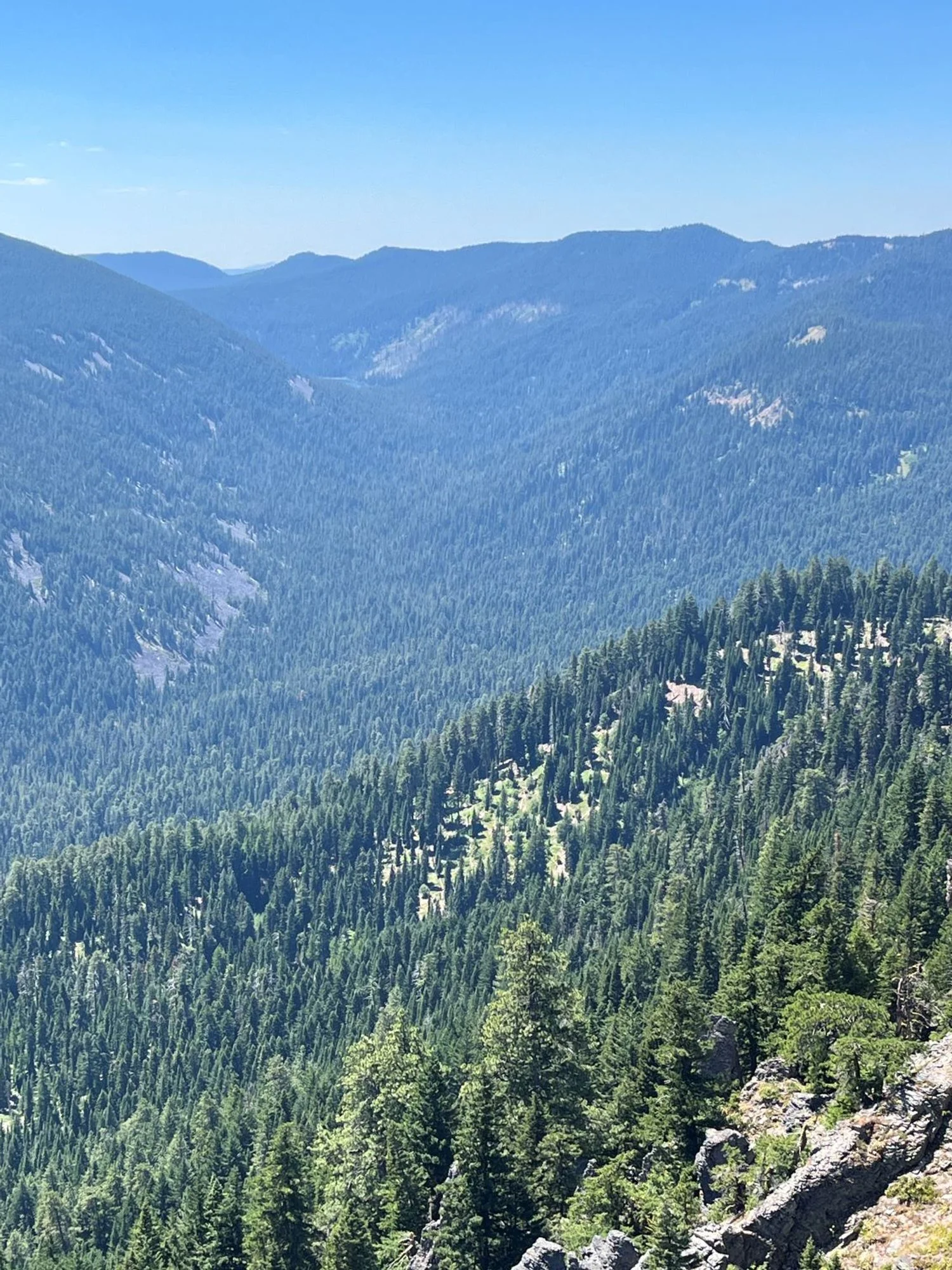
Across the valley to the east