21. Tilly Jane Loop
Summary
Length 2 ¾ mile loop
Difficulty Moderate
Season Summer
Elevation range 5,760 – 6,660 feet
Human imprint Moderate (adjacent campgrounds, hikers, climbers)
Information Mount Hood National Forest (Hood River Ranger District)
Primary old growth features
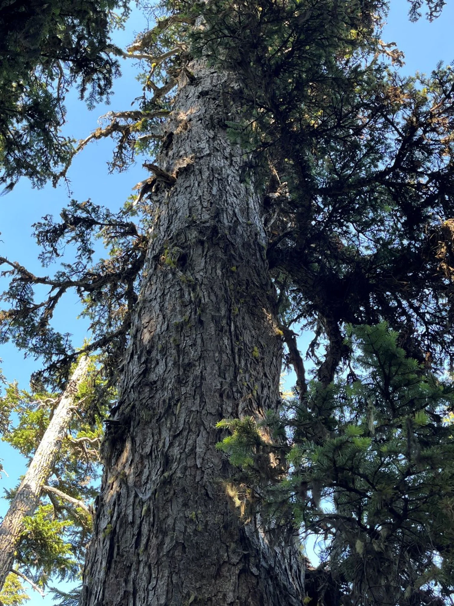
Impressive mountain hemlock and Pacific silver fir grove.
Description
Hikers can experience a fine example of snow-zone old growth on a short loop near timberline on the north side of Mount Hood. Hearty old mountain hemlock and Pacific silver fir not only survive in the deep snows found at this elevation, but grow to impressive dimensions along the lower portions of the loop. Dramatic views of Mount Hood rise in the foreground along upper portions of the loop. The loop is described starting from Tilly Jane Campground headed south, but can be hiked just as easily in the opposite direction, or from Cloud Cap Saddle.
From the parking area at Tilly Jane Campground, head south towards the Tilly Jane Guard Station and then left on the Tilly Jane Trail (600A). Continue past the amphitheater and then turn right heading south once again. Interpretive signs near the amphitheater and cook shed explain some of the history of the Tilly Jane and Cloud Cap area.
The next ¾ mile or so climbs moderately up a ridge passing through an old mountain hemlock and Pacific silver fir forest. Some individual trees reach 3 to 4 feet in girth, not bad for 6,000 feet. This section of the loop also parallels gaping Polallie Canyon, site of a highly destructive debris-flow and subsequent dam-break flood in December of 1980. A major, warm rain-on-snow flood triggered a massive landslide and debris-flow that traveled for many miles downstream, forming a temporary debris dam at the confluence with East Fork Hood River. The dam quickly burst releasing the 85 acre-foot lake formed behind it causing enormous damage to State Route 35 and other infrastructure, and killing one person. Take a look across the canyon and imagine the immense mass of material unleashed in mere minutes during this event.
Continue up the trail climbing above the old forest to a four-way trail junction a little over a mile from the trailhead. Turn right on the Timberline Trail (600) heading downhill to the north towards Cloud Cap Saddle. This upper portion of the loop affords breathtaking views of the retreating Eliot Glacier, the steep and active moraines left behind, and the north face of Mount Hood. Look for rock cairns to mark the path through the cinders and rocks. Whitebark pine krummholz (stunted, shrublike trees of the subalpine zone) dot the ashy slopes and glacial terrain.
The Timberline Trail reenters old mountain hemlock and silver fir forest as it nears Cloud Cap Campground. Turn right on the Tilly Jane Trail and return to the Tilly Jane Campground a half mile later. A portion of this last segment of the loop was burned during the 2008 Gnarl Ridge Fire, marking the top margin of the large, severe fire that the access road climbed through. Large trees survived along some of the edge of the fire, but most of the area is now young trees and snags.
30 years of change
The largest mountain hemlock and Pacific silver fir are slowing dying out. The Gnarl Ridge Fire (2008) severely burned the landscape along the access road up to the trailhead, and over the Tilly Jane Trail itself in one place.
How to get there
From State Route 35, turn west onto Cooper Spur Road approximately 22 miles south of Hood River (16 ¼ miles north of the Highway26/Highway 35 junction). Follow Cooper Spur Road for 2.4 miles, then turn left onto Cloud Cap Road at Cooper Spur Inn. Cloud Cap Road passes Cooper Spur Resort and turns to gravel approximately 1.4 miles later at an information board. Continue winding your way uphill through a sea of snags left behind from the Gnarl Ridge Fire (2008) coming to a T-junction approximately 9 ½ miles from Cooper Spur Road junction. Turn left reaching Tilly Jane Campground a third of a mile later. Turning right at the junction will take you up to Cloud Cap Saddle and Campground and an alternative trailhead. Note that although the road is rough in places passenger cars can make it to the top with careful driving; good tires are recommended though.
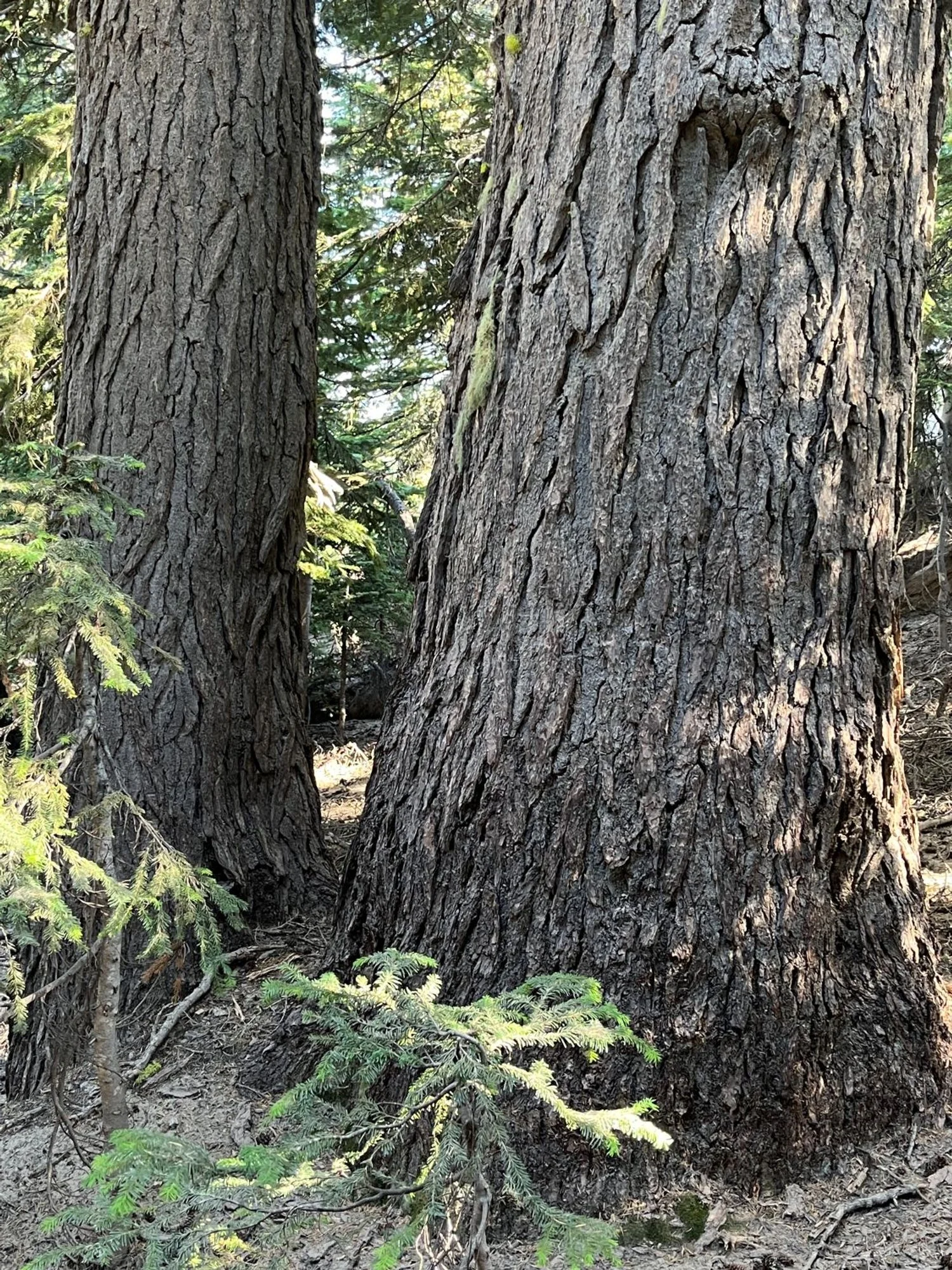
Stout mountain hemlock
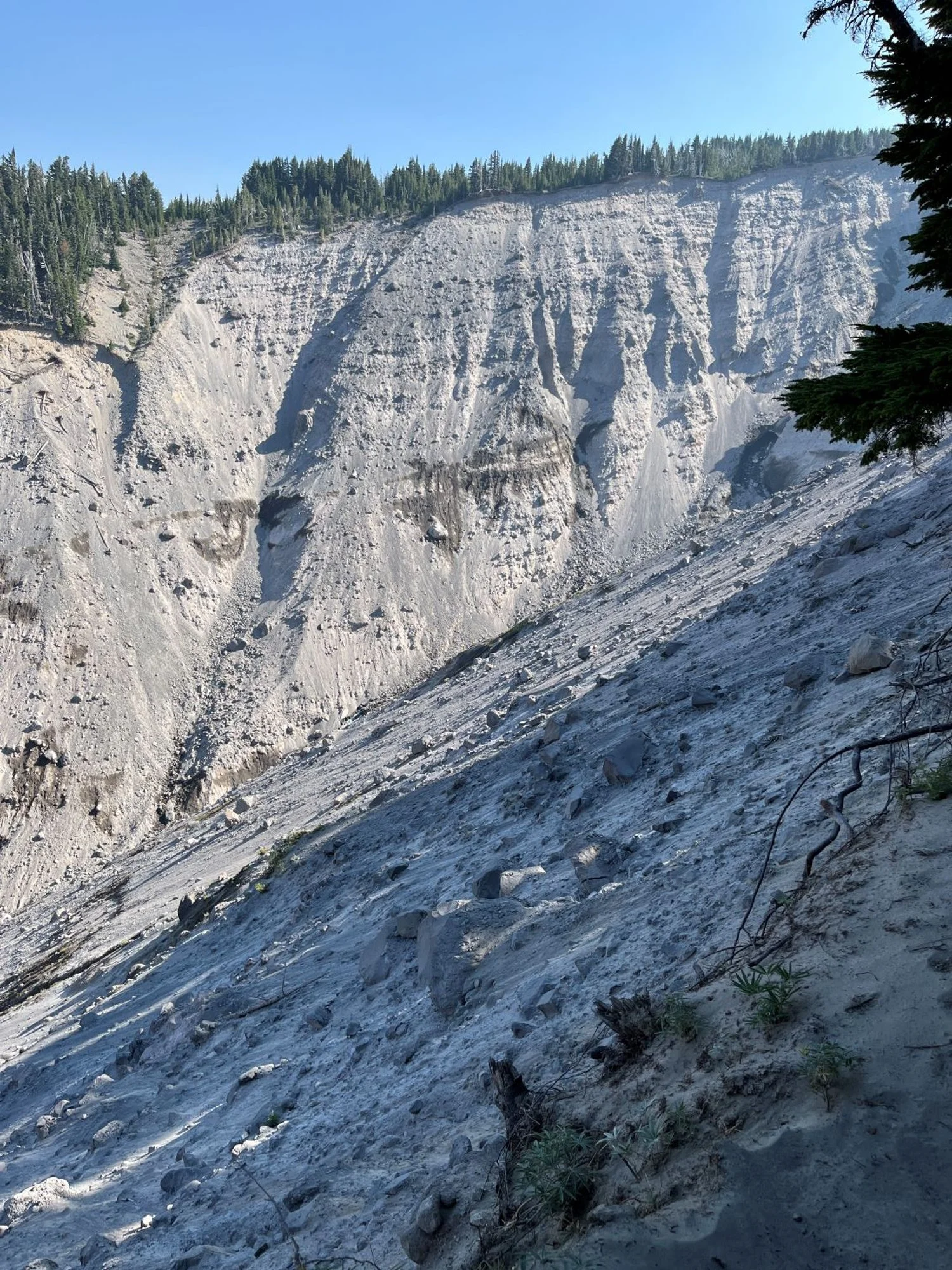
Polallie Canyon debris flow source
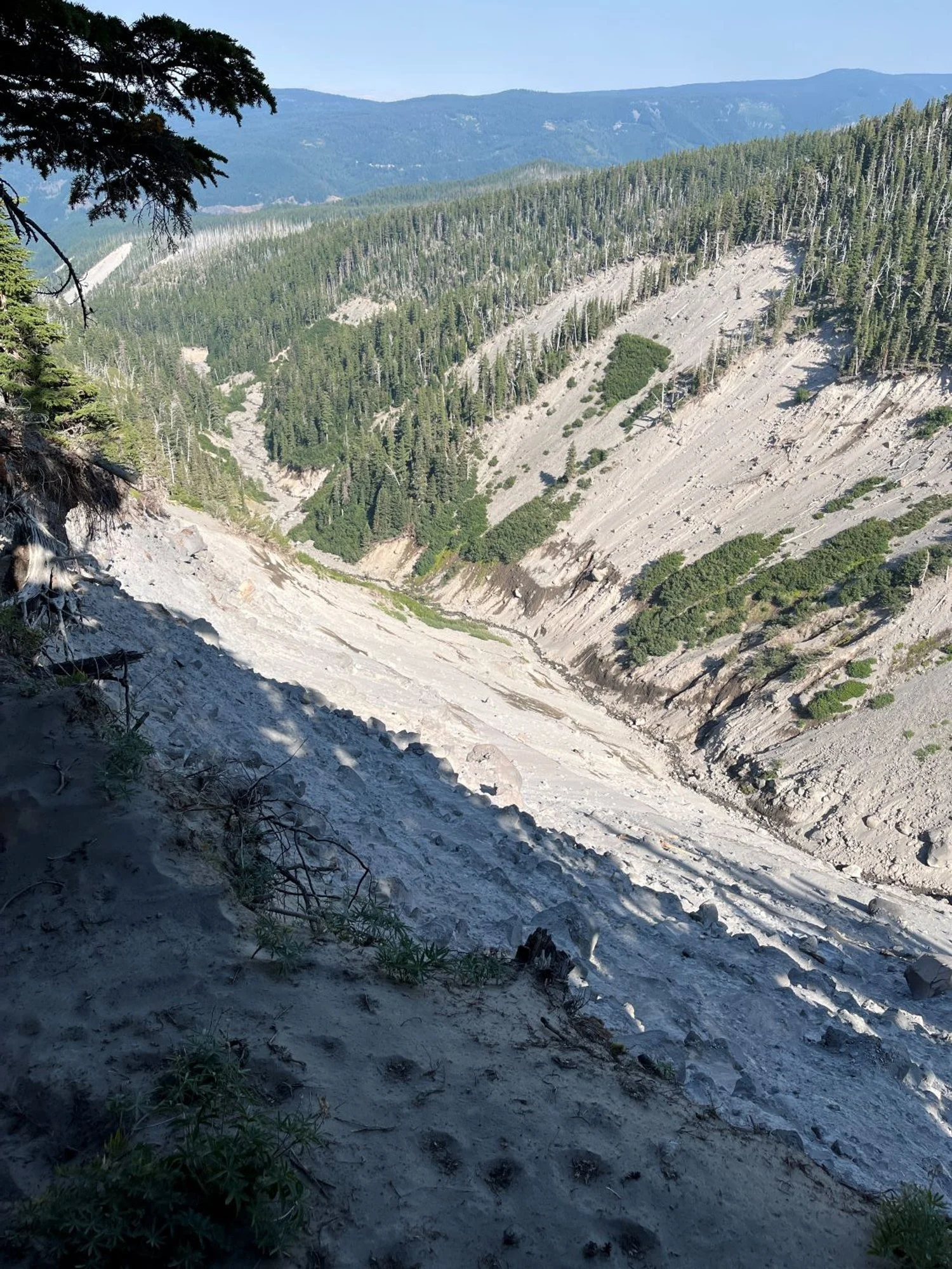
Lower portion Polallie Canyon landslide
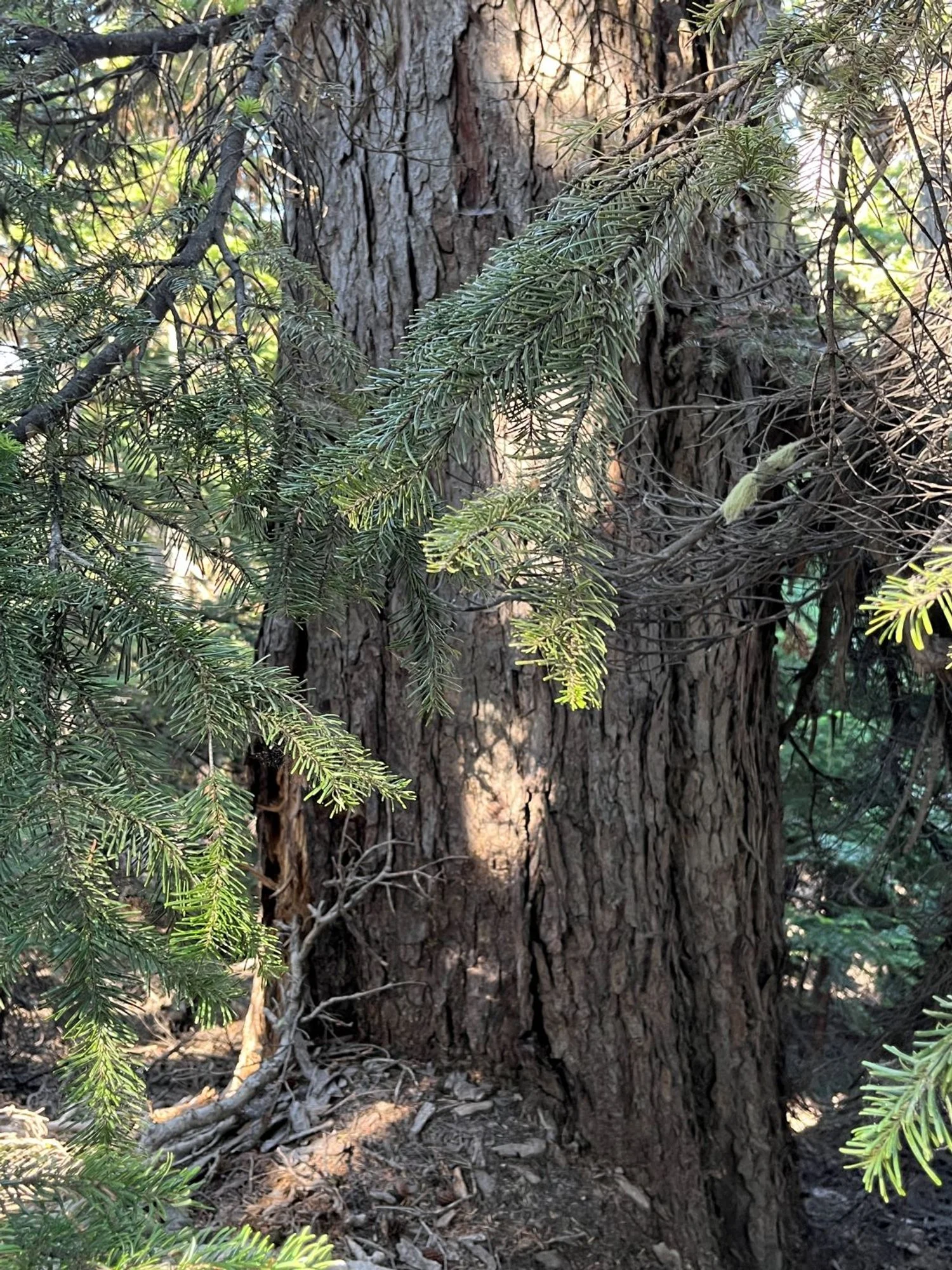
Huge Pacific silver fir

Chunky trunk
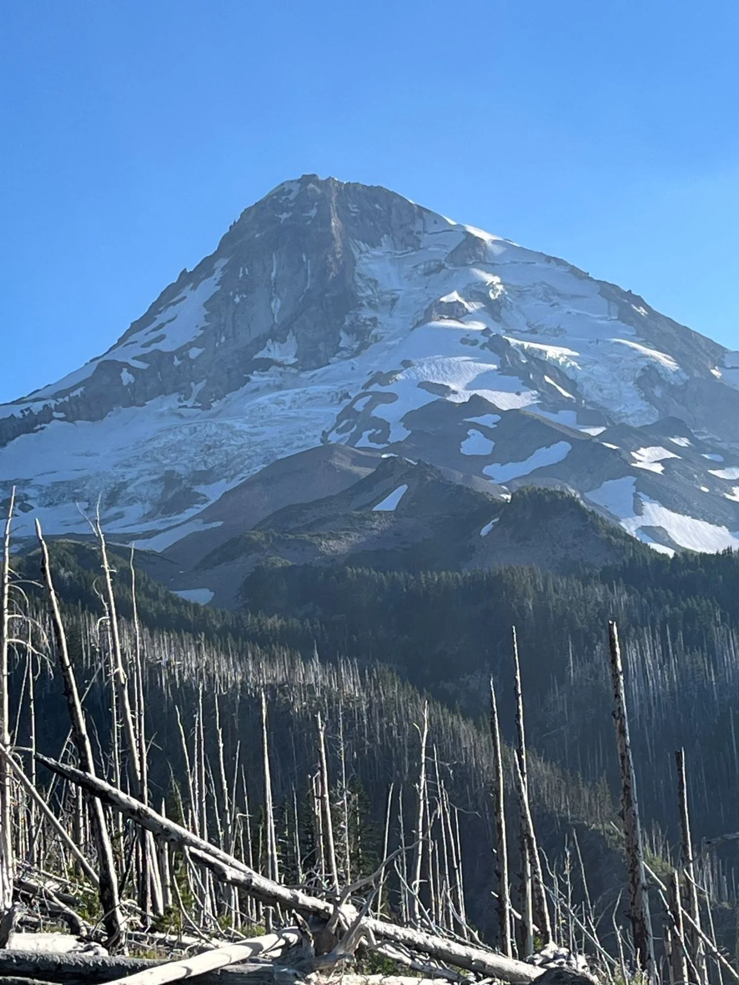
Mt. Hood over the Gnarl Ridge Fire (2008)
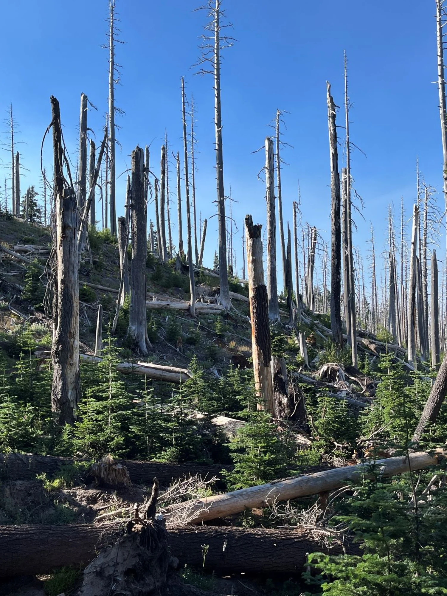
Gnarl Ridge Fire (2008) regrowth
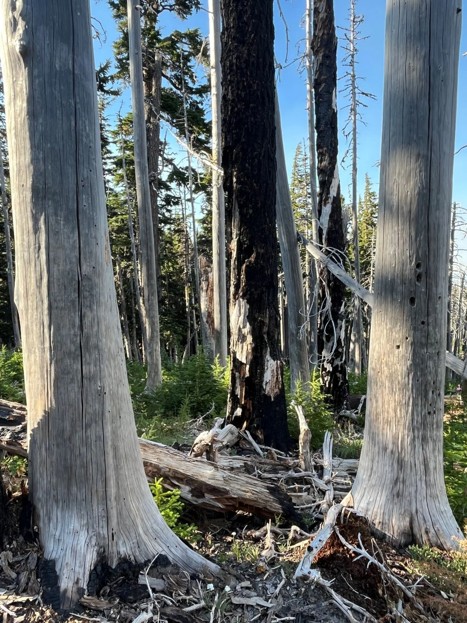
Former old growth
