15. Buck Peak

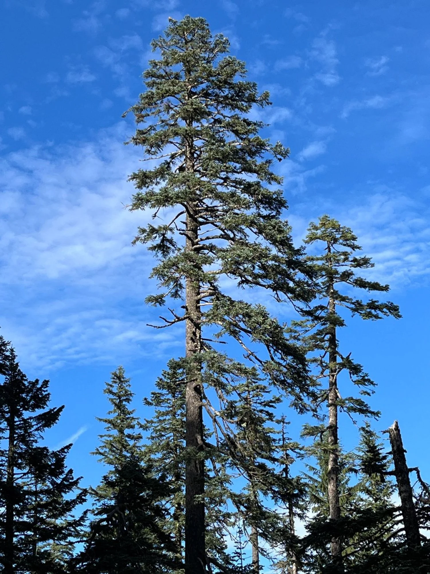
Gorgeous Pacific silver fir
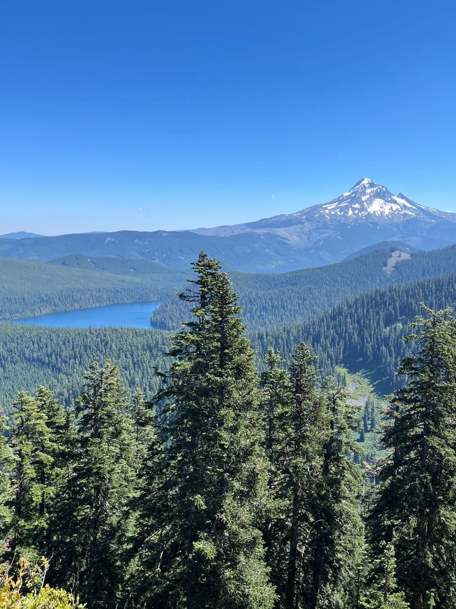
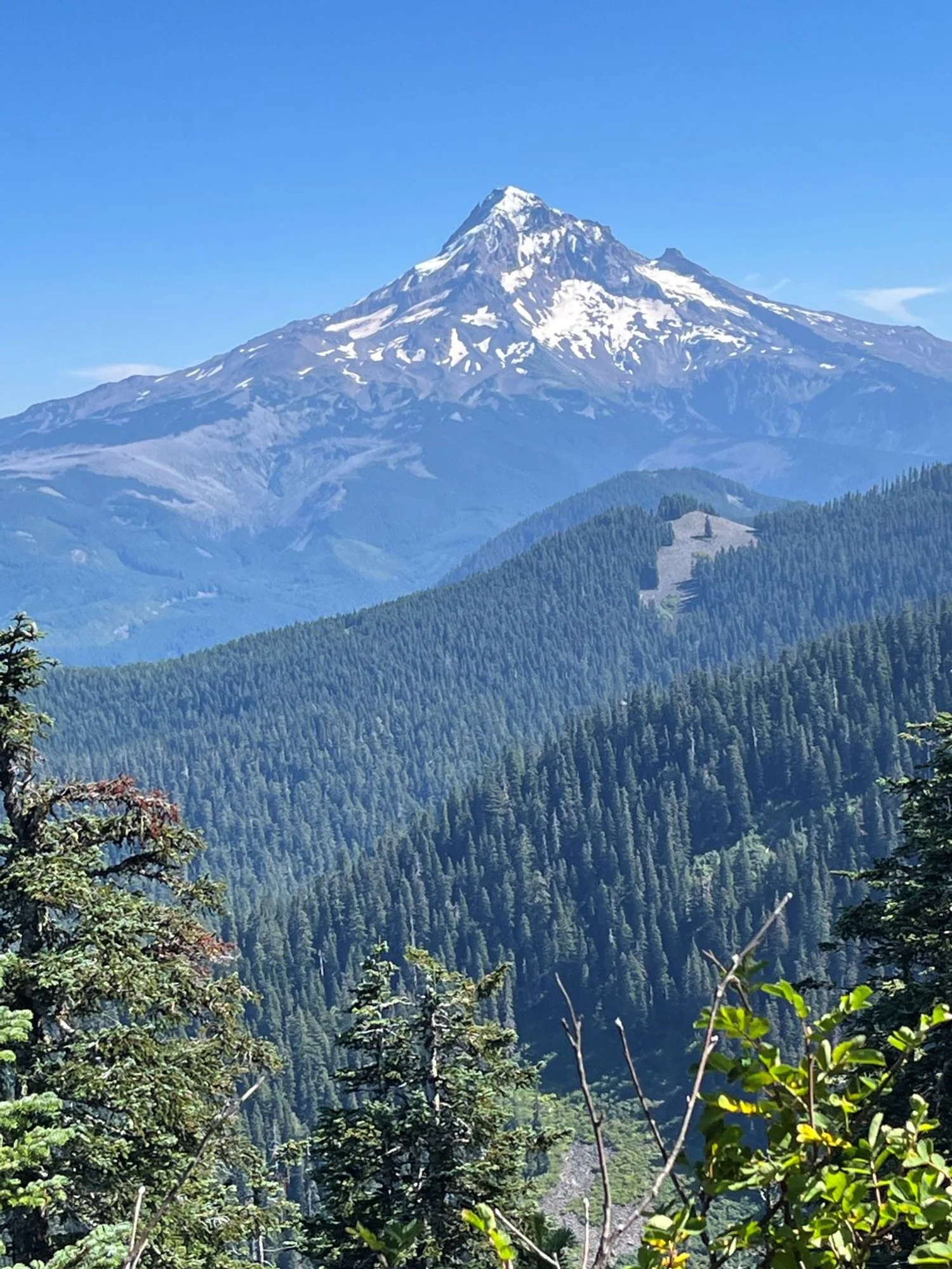
Mt. Hood and Lost Lake from Buck Peak
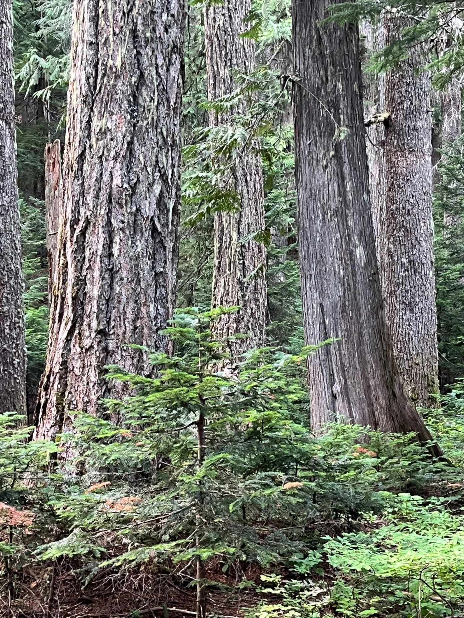
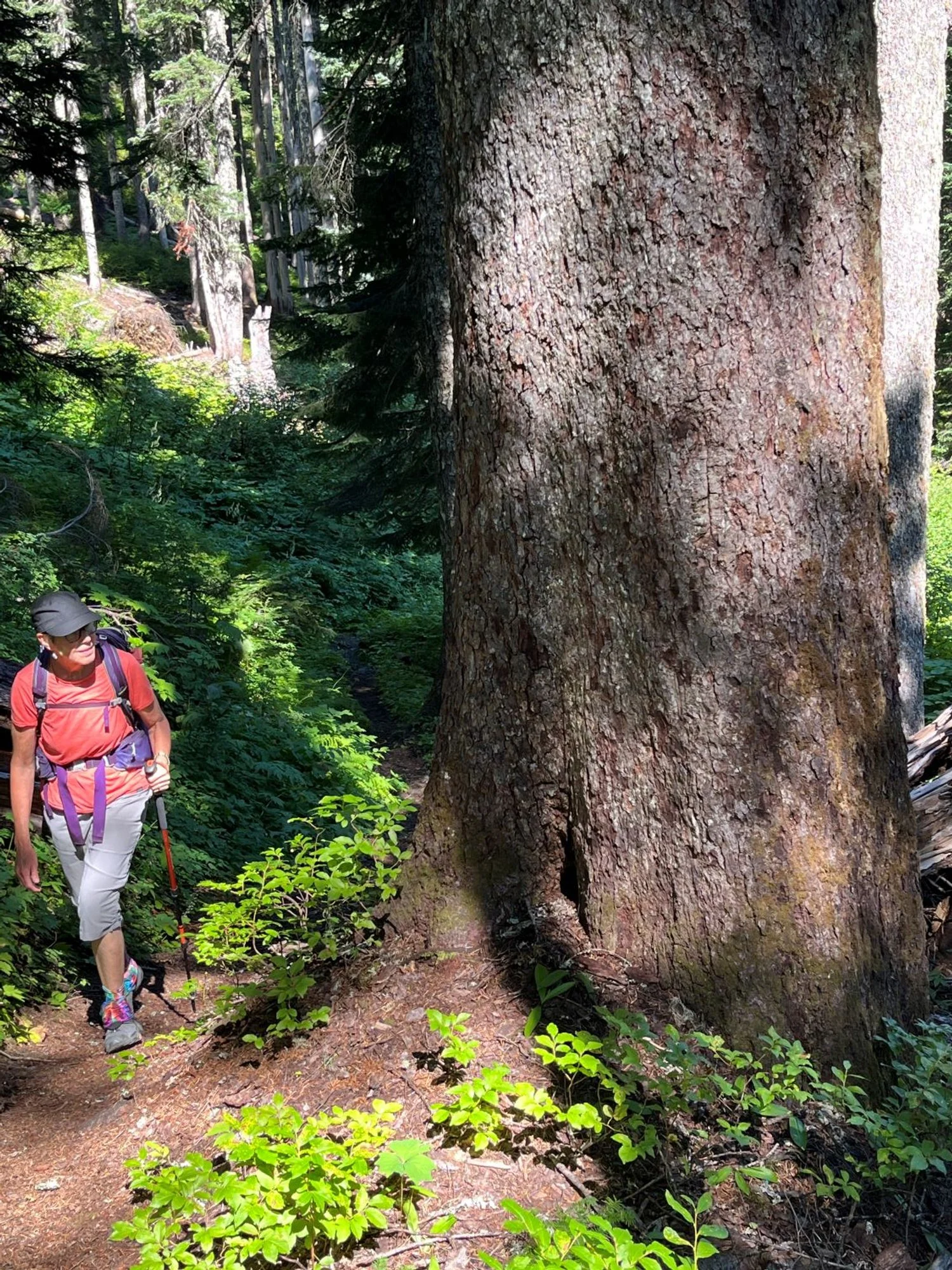
Old growth Douglas-fir and western redcedar
Old western hemlock
Noble fir
It's called silver fir for a reason
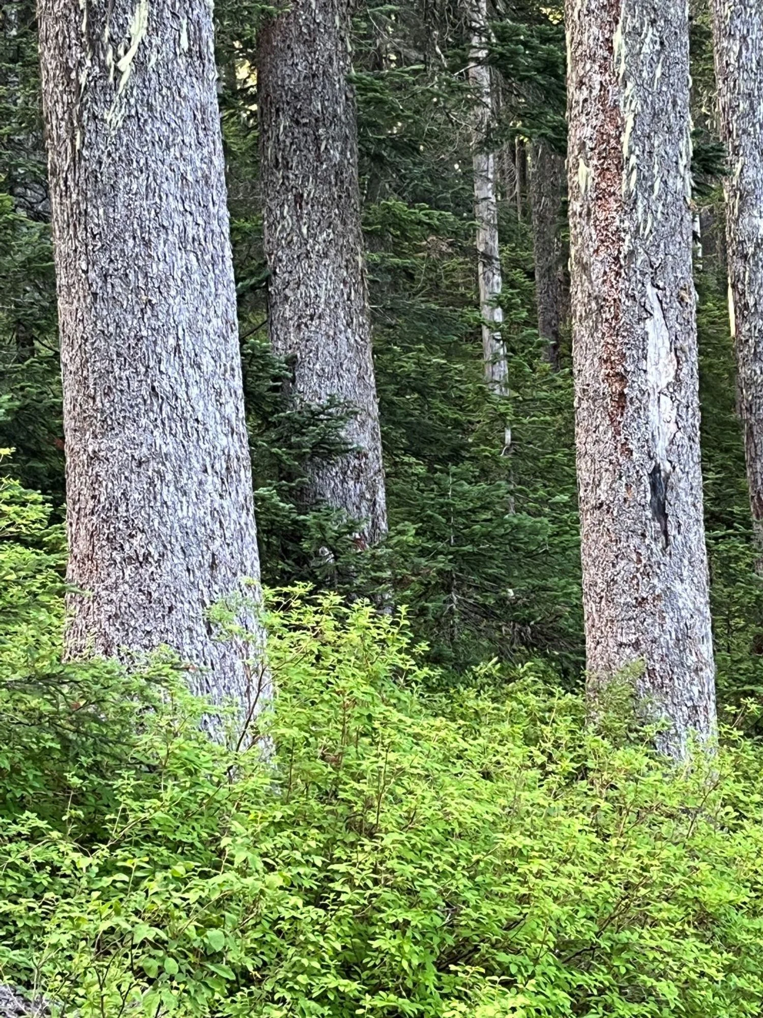
Silver and green
Mt. Hood over Devils Pulpit
Chunky noble fir
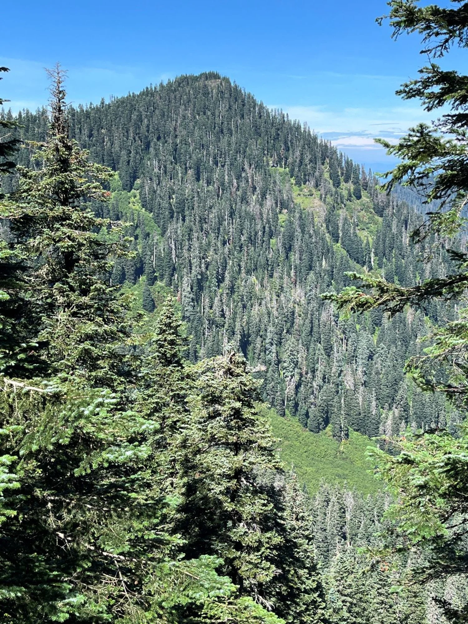
Buck Peak
You talking to me?
Noble fir along the trail
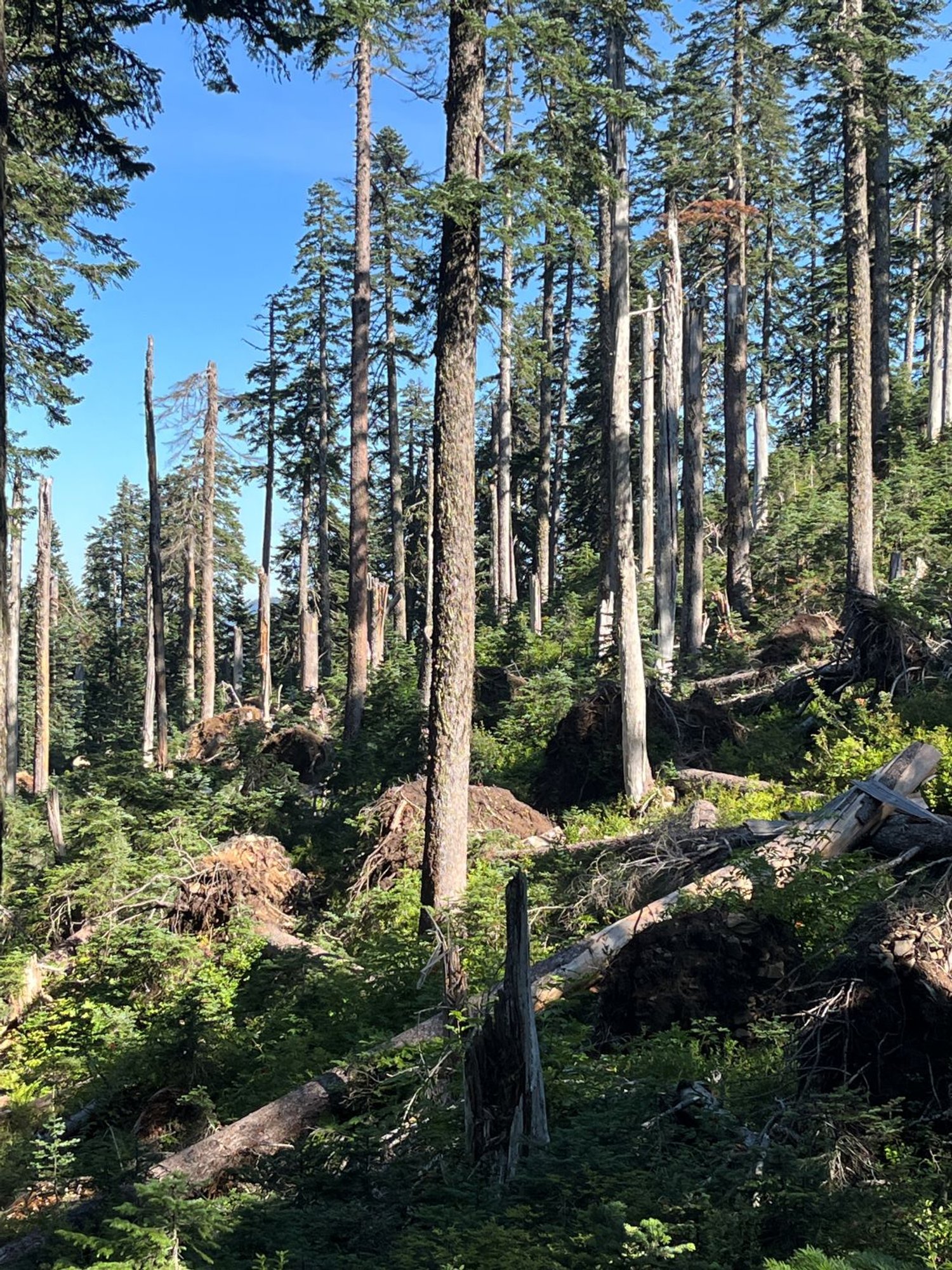
Blowdown and tip-up mounds
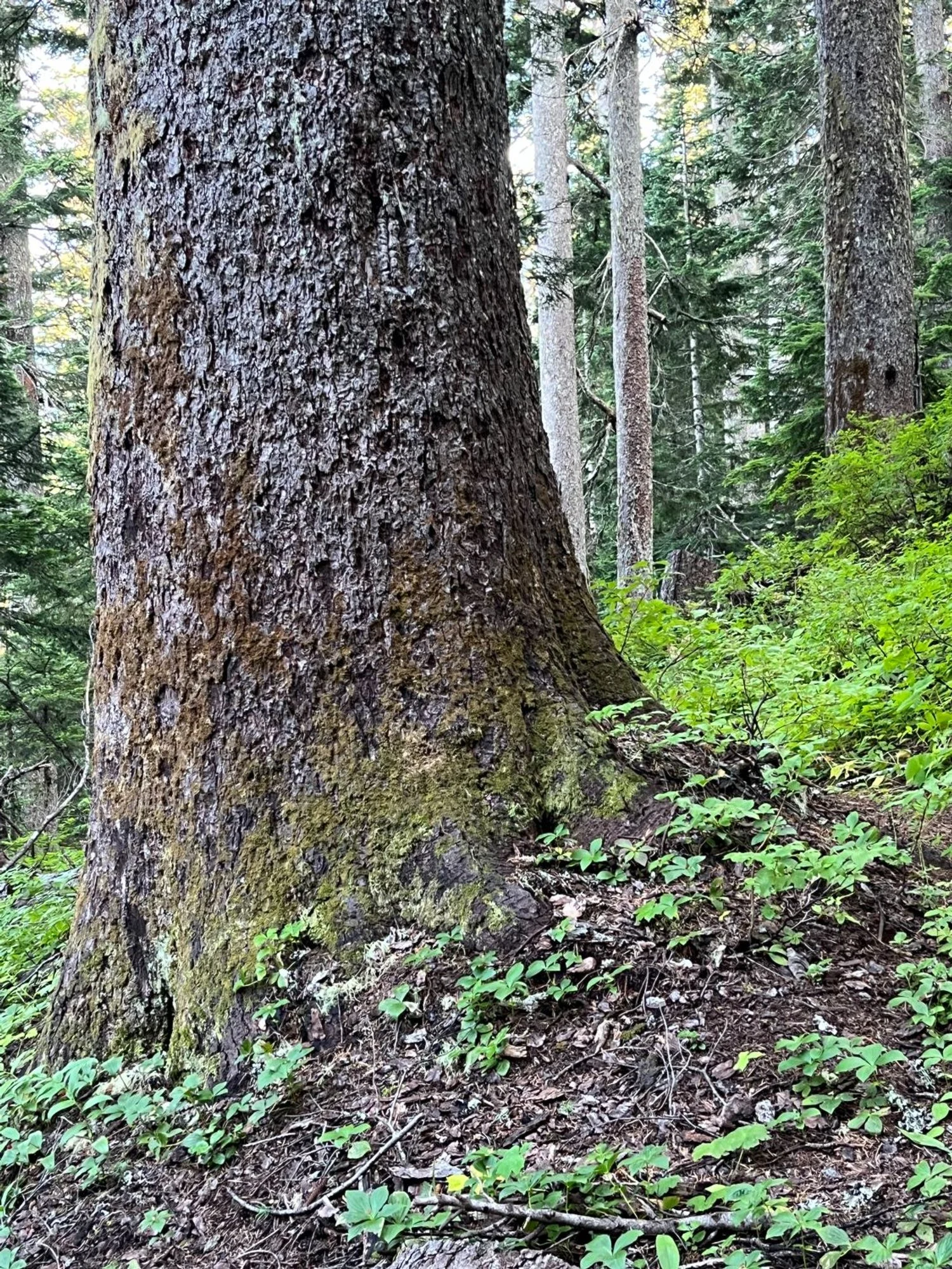
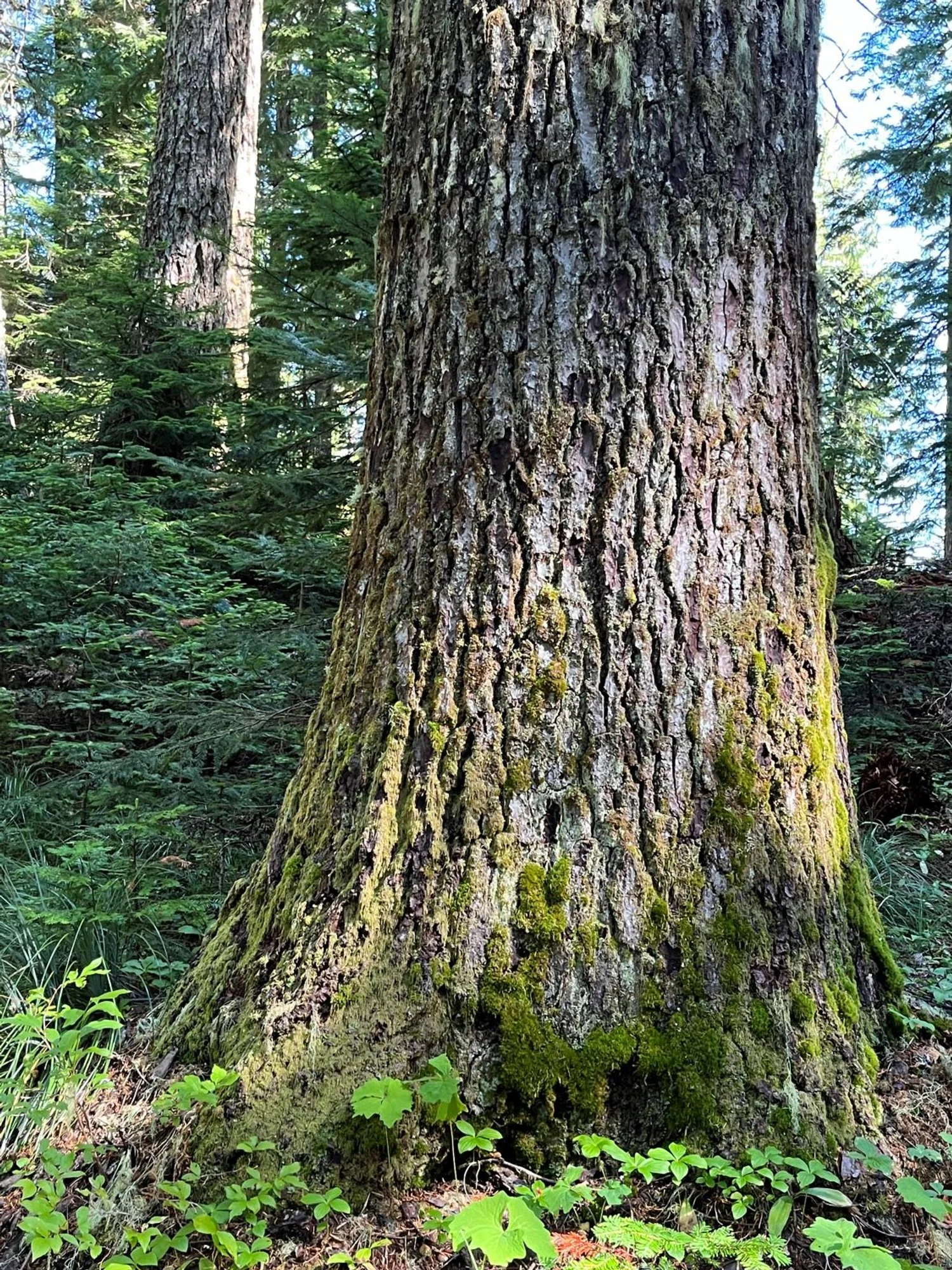
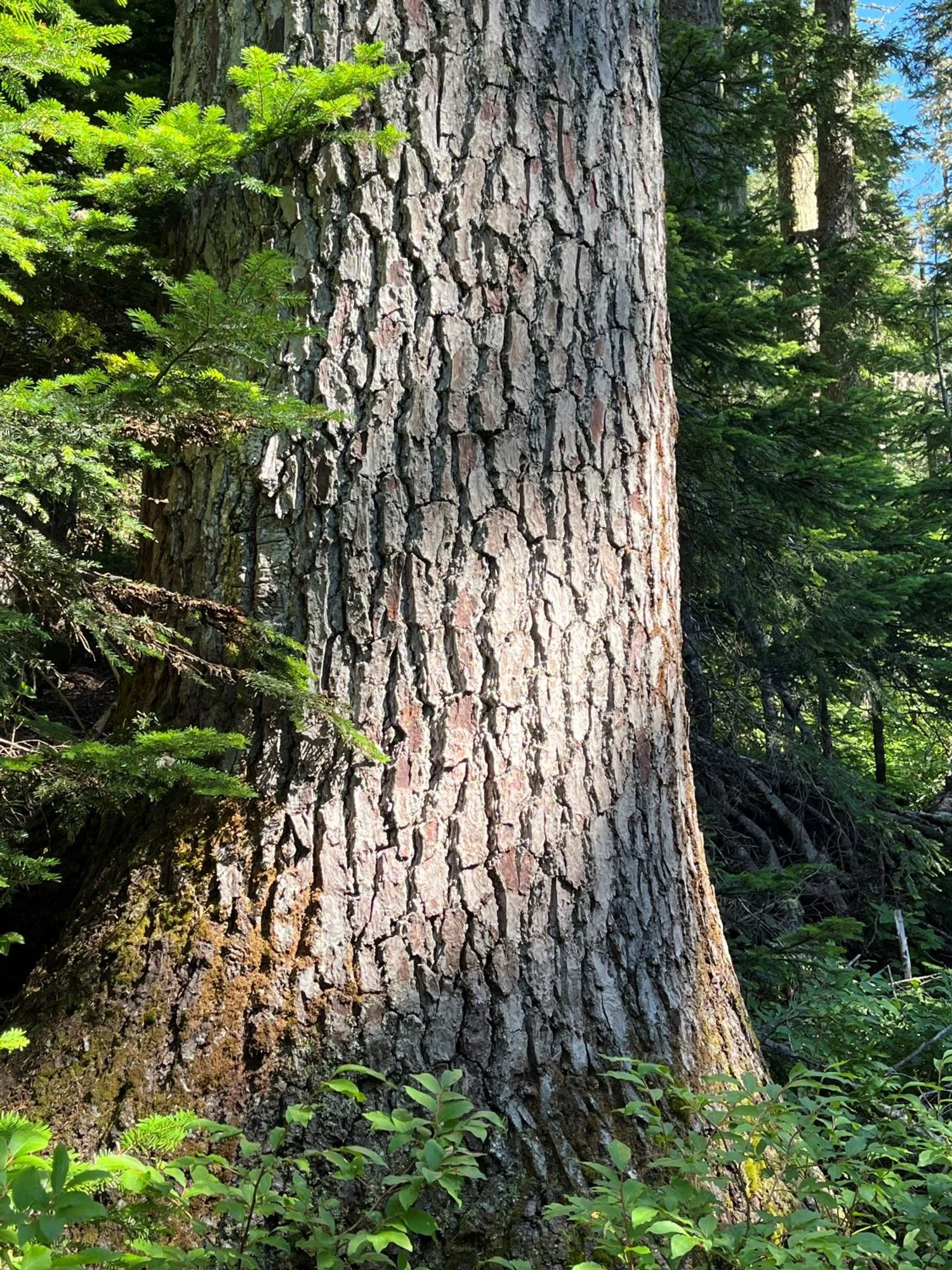
Huge silver fir

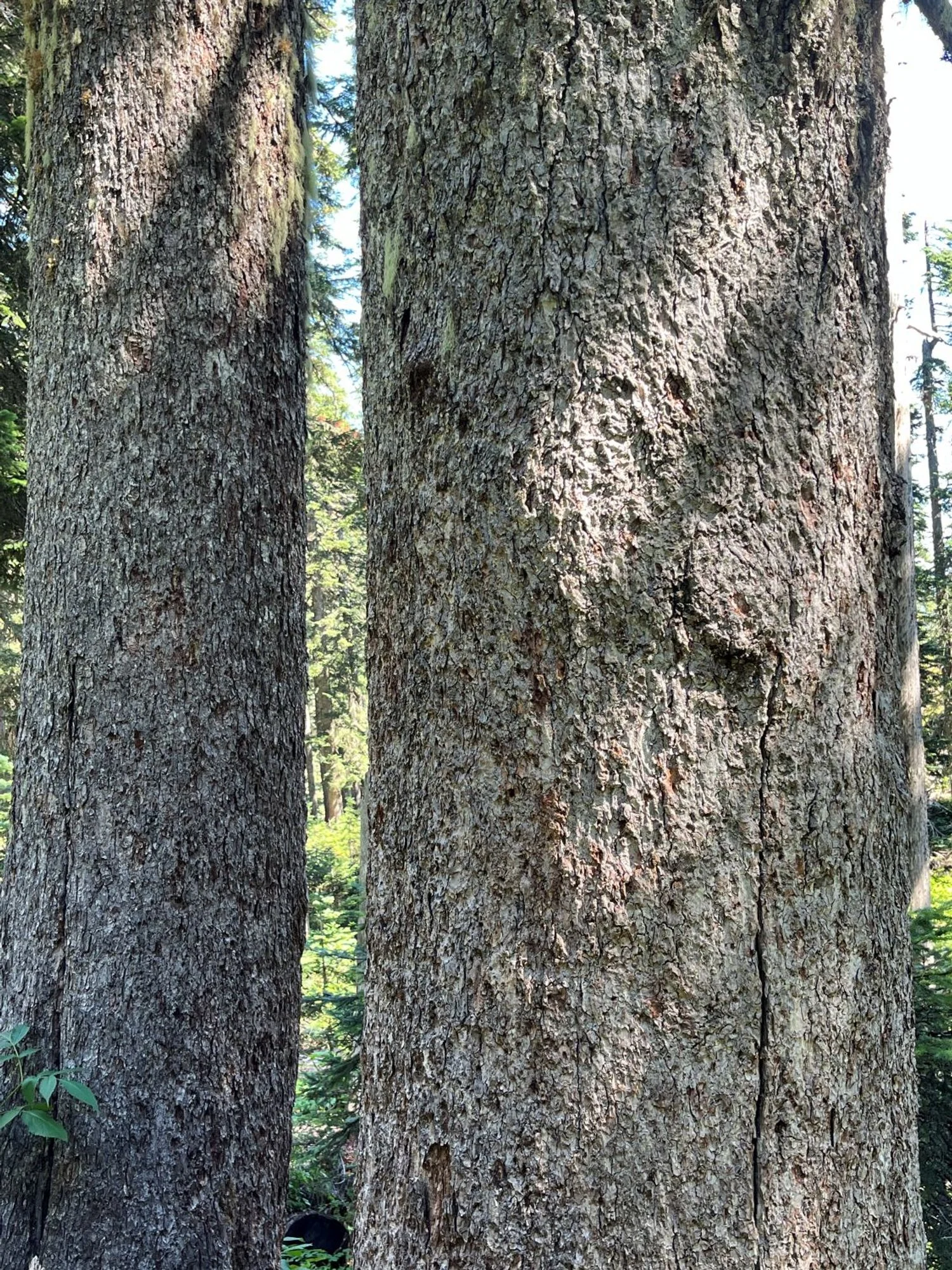
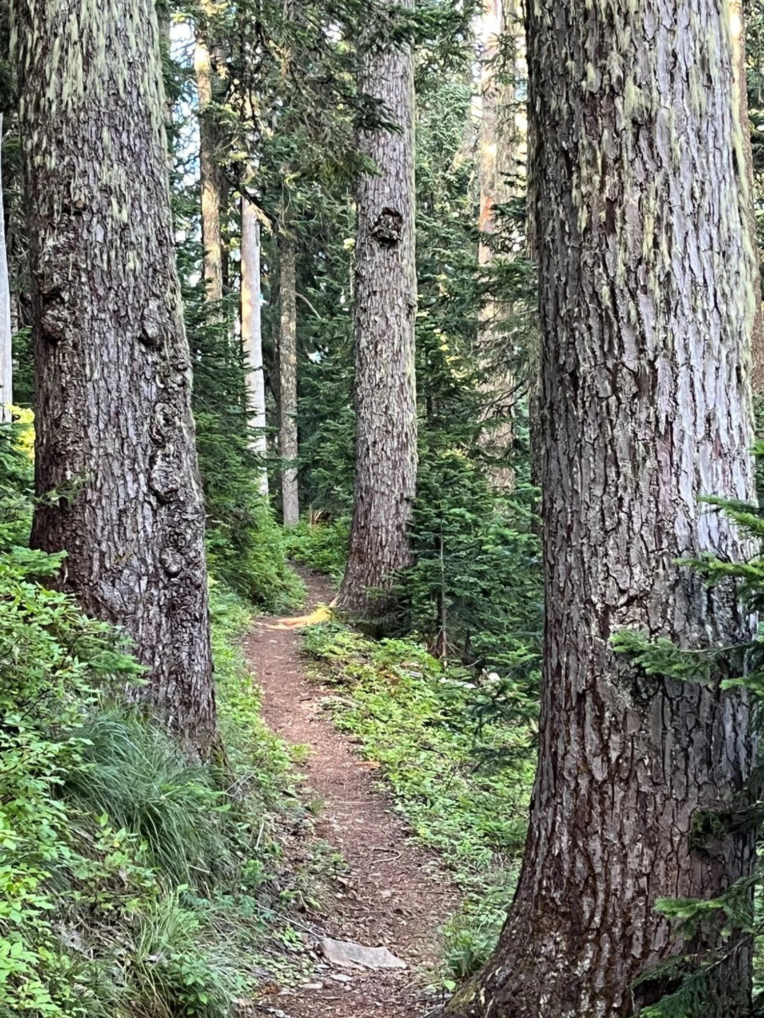
Silver fir old growth