14. Old Skyline Trail - Lost Lake
Summary
Length 1 ½ miles one way
Difficulty Easy
Season Summer to autumn
Elevation range 3,210 – 3,460 feet
Human imprint High (hikers, large campground nearby)
Information Mount Hood National Forest (Hood River Ranger District)
Primary old growth features
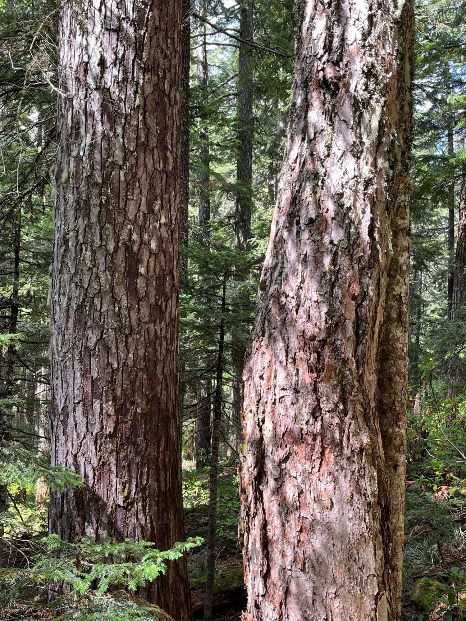
Old growth near Lost Lake.
Description
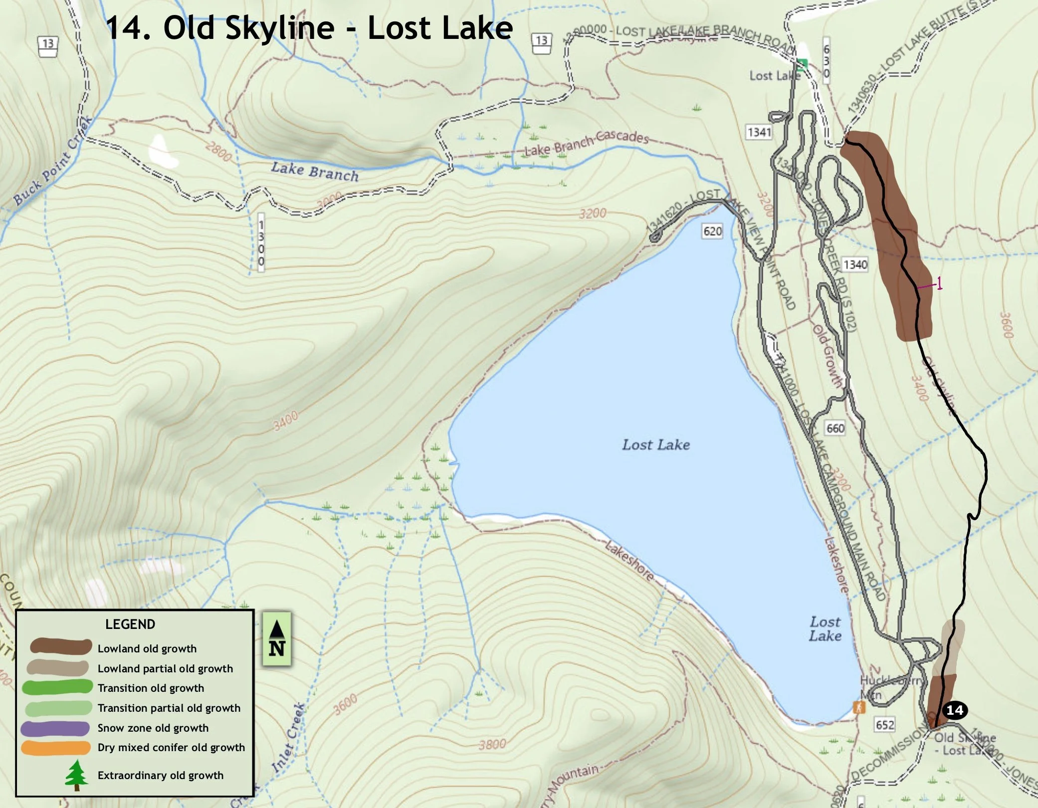
If you’re staying at Lost Lake this short trail segment is a convenient amble on an historical trail through mixed young and old forest, and is particularly attractive early in the summer when abundant rhododendrons are in bloom. The Skyline Trail was built a century ago along the crest of the Oregon Cascades and has been largely replaced by the Pacific Crest Trail. This remnant, and a nearby trail extension, are the only portions of the old trail that are open and maintained today in the northern Oregon Cascades.
From the trailhead by the FR 1340/FR 620 junction at the south end of Lost Lake, head northeast in pleasant, low-elevation old forest. The big trees soon drop out of the stand, however, as the trail passes the Horse Camp and gradually angles upslope into younger forest. Old growth reappears as the trail bends to the northwest and gradually descends. Large Douglas-fir and western hemlock dominate this stand with occasional noble fir sprinkled in. The trail intersects Lost Lake Butte Trail after a mile or so, then drops down to the now-closed 630 road. Return the way you came, or head down the road to the left emerging by the Lost Lake Entrance Station.
Note: this trail is a replacement for the previously described Jones Creek segment of the Old Skyline Trail which headed south from the same location, but is now closed.
30 years of change
The forest appears largely unchanged.
How to get there
Head south through the town of Hood River on 13th Street, continuing south on Highway 281 (Dee Highway). Stay on Highway 281 for a little over 11 miles, then turn right onto Lost Lake Road near Dee. Stay on Lost Lake Road for approximately 14 miles until reaching the Lost Lake Entrance Station.
The trail can be accessed from either end, but is described from the south trailhead. Note that although day-use visitors must stop at the Lost Lake Entrance Station, hikers intending to park by the south trailhead do not need to pay the day-use fee charged by Lost Lake Resort since the trailhead lies outside the permit area. From the Entrance Station, turn left on the upper campground road and drive a little over a mile through the campground, past the horse camp and organization camp, and park by the gate on FR 1340. The trail heads north by the junction with FR 620 just before the gate.
30 years of change
The forest appears largely unchanged.
How to get there
Head south through the town of Hood River on 13th Street, continuing south on Highway 281 (Dee Highway). Stay on Highway 281 for a little over 11 miles, then turn right onto Lost Lake Road near Dee. Stay on Lost Lake Road for approximately 14 miles until reaching the entrance station.
The trail can be accessed from either end, but is described from the south trailhead. From the entrance station, turn left on the upper campground road and drive a little over a mile through the campground, past the horse camp and organization camp, and park by the gate on FR 1340. The trail heads north by the junction with FR 620 just before the gate.

Old Douglas-fir and rhododendron

Old western hemlock

Large noble fir and Douglas-fir

Low elevation old growth
