
13. Lost Lake Butte
Summary
Length 2 miles one way
Difficulty Moderate
Season Summer to early autumn
Elevation range 3,200 – 4,468 feet
Human imprint High (hikers, large campground nearby)
Information Mount Hood National Forest (Hood River Ranger District)
Primary old growth features
Mid-elevation old growth near Lost Lake.
Description
This short hike climbs steadily up Lost Lake Butte through pleasing old forest for a front-row view of Mt. Hood and the West Fork Hood River valley. The trailhead lies within a large recreational complex managed by Lost Lake Resorts, which charges a day-use fee (currently $15) for trailhead parking. Note that the resort site is not part of the Northwest Forest Pass, Interagency Pass, or Senior Pass networks, though the fee is waived for overnight visitors.
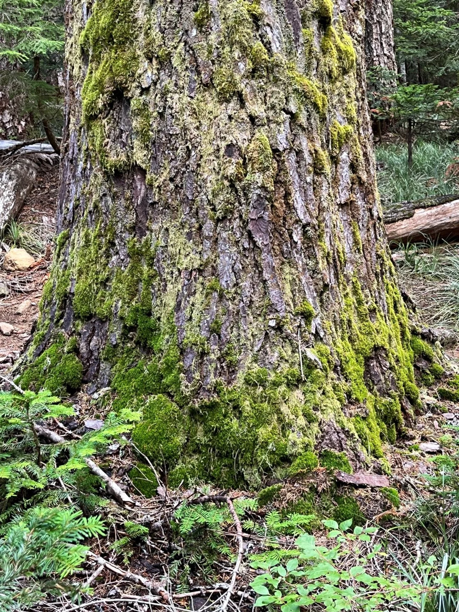
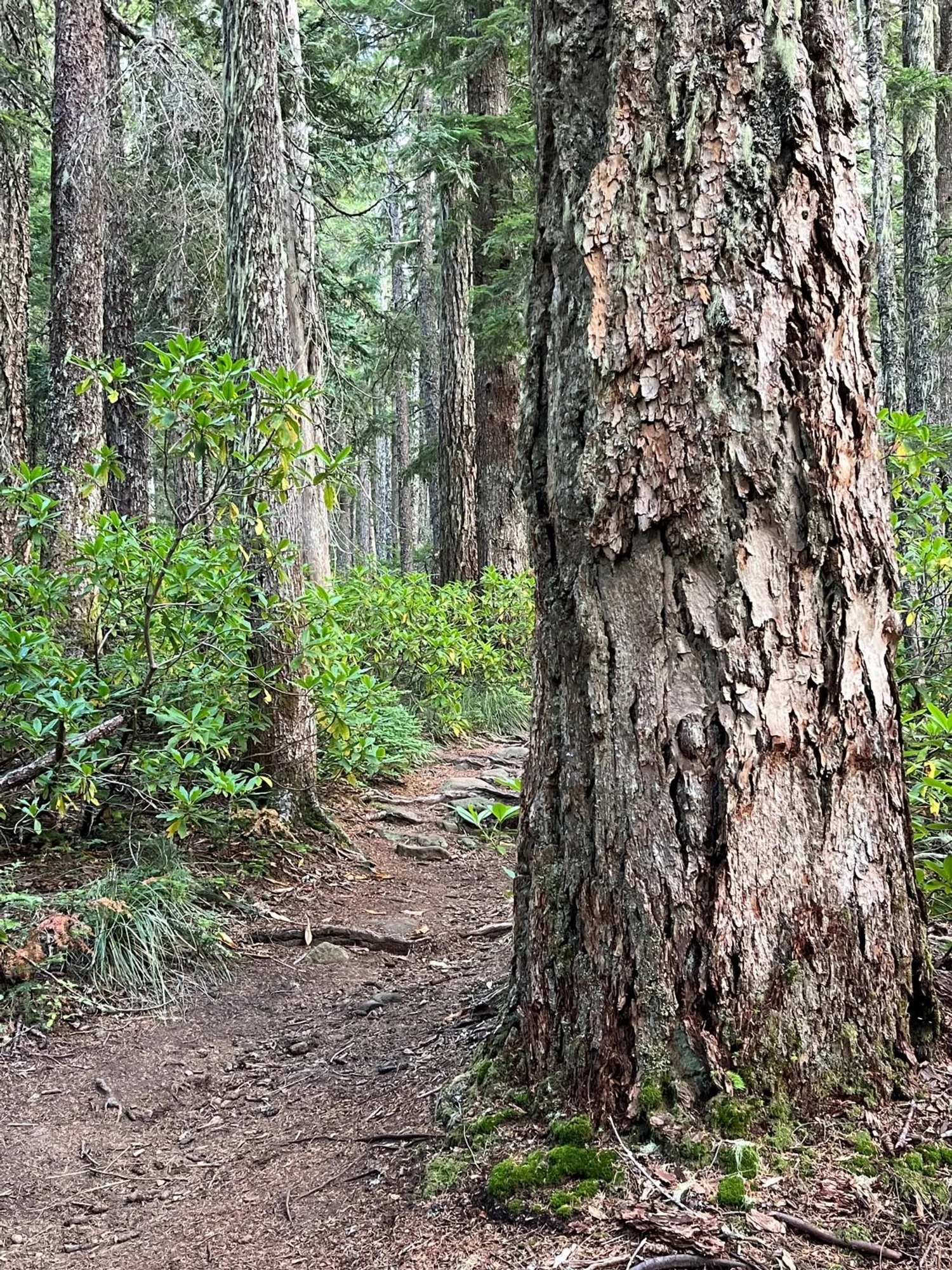
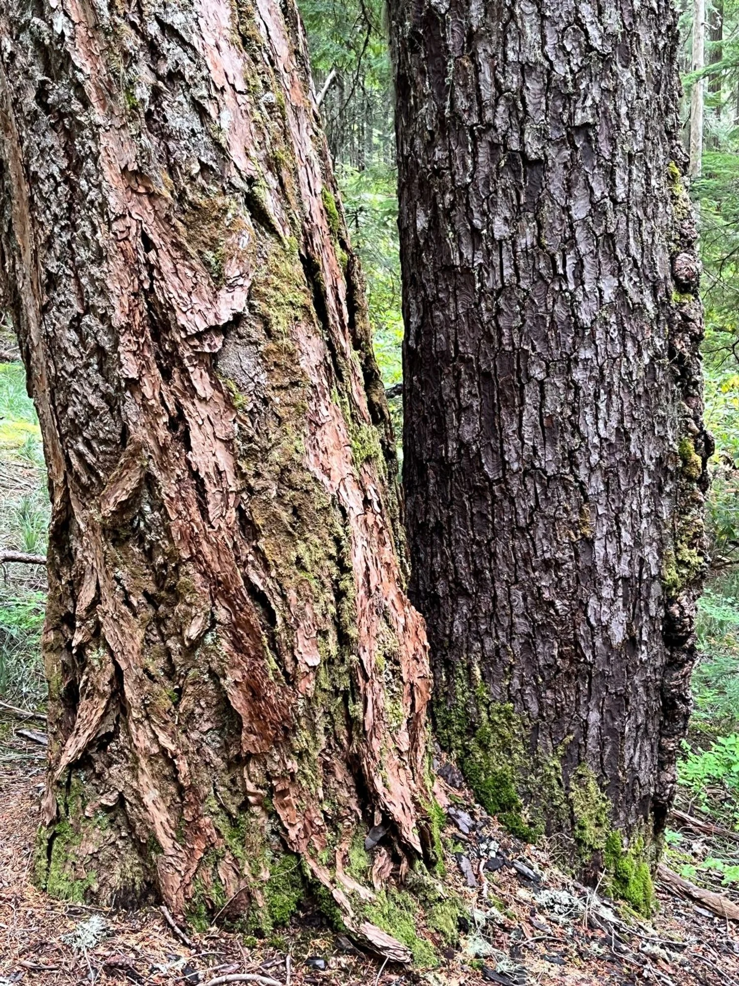
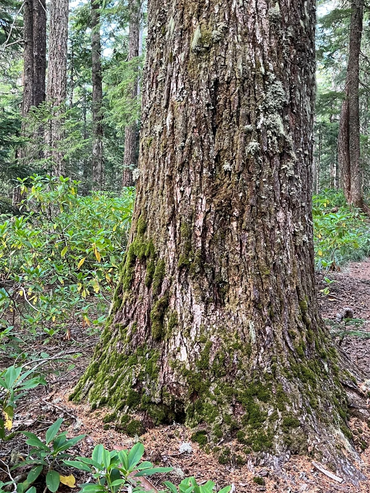
Start out near the General Store and head upslope away from Lost Lake. Cross the road after a hundred yards or so and continue uphill on the Lost Lake Butte Trail (616). The trail is initially in transitional old growth with large Douglas-fir and western hemlock intermixed with old noble fir and Pacific silver fir. Abundant rhododendron suggest an early summer hike to catch the showy flowers in bloom.
The trailside forest becomes younger about halfway up the butte, then the trail enters a series of well-graded switchbacks before emerging onto a rocky viewpoint where the footings of an old lookout remain. Mt. Hood rises dramatically across West Fork Hood River valley and Mt. Adams can be seen to the north, but forest regrowth blocks views of other formerly visible Cascade peaks and Lost Lake.
30 years of change
The forest appears largely unchanged, though forest regrowth has obscured the view of formerly visible Cascade peaks and Lost Lake.
How to get there
Head south through the town of Hood River on 13th Street, continuing south on Highway 281 (Dee Highway). Stay on Highway 281 for a little over 11 miles, then turn right onto Lost Lake Road near Dee. Stay on Lost Lake Road for approximately 14 miles until reaching the entrance station. There are several ways to access the trail, including parking along wide spots along the road near the entrance station. The easiest way though, is to use the North Day-Use parking area and find the lower trailhead near the General Store.
Douglas-fir old growth
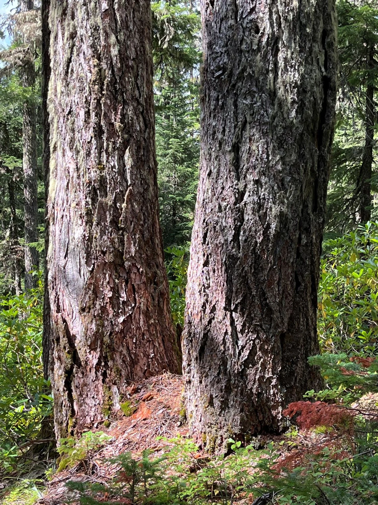
Twin Doug-firs
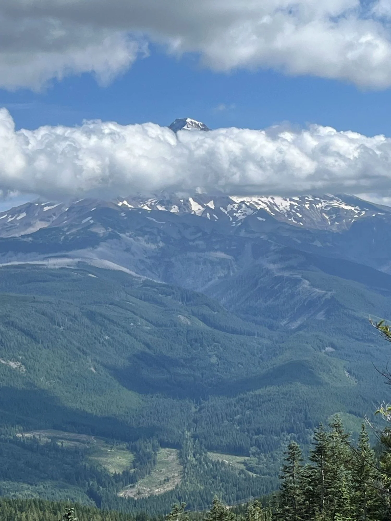
Mt. Hood peaking out ..
Douglas-fir and noble fir

Mossy trunk
Big western hemlock