12. Lost Lake Old-Growth Trail
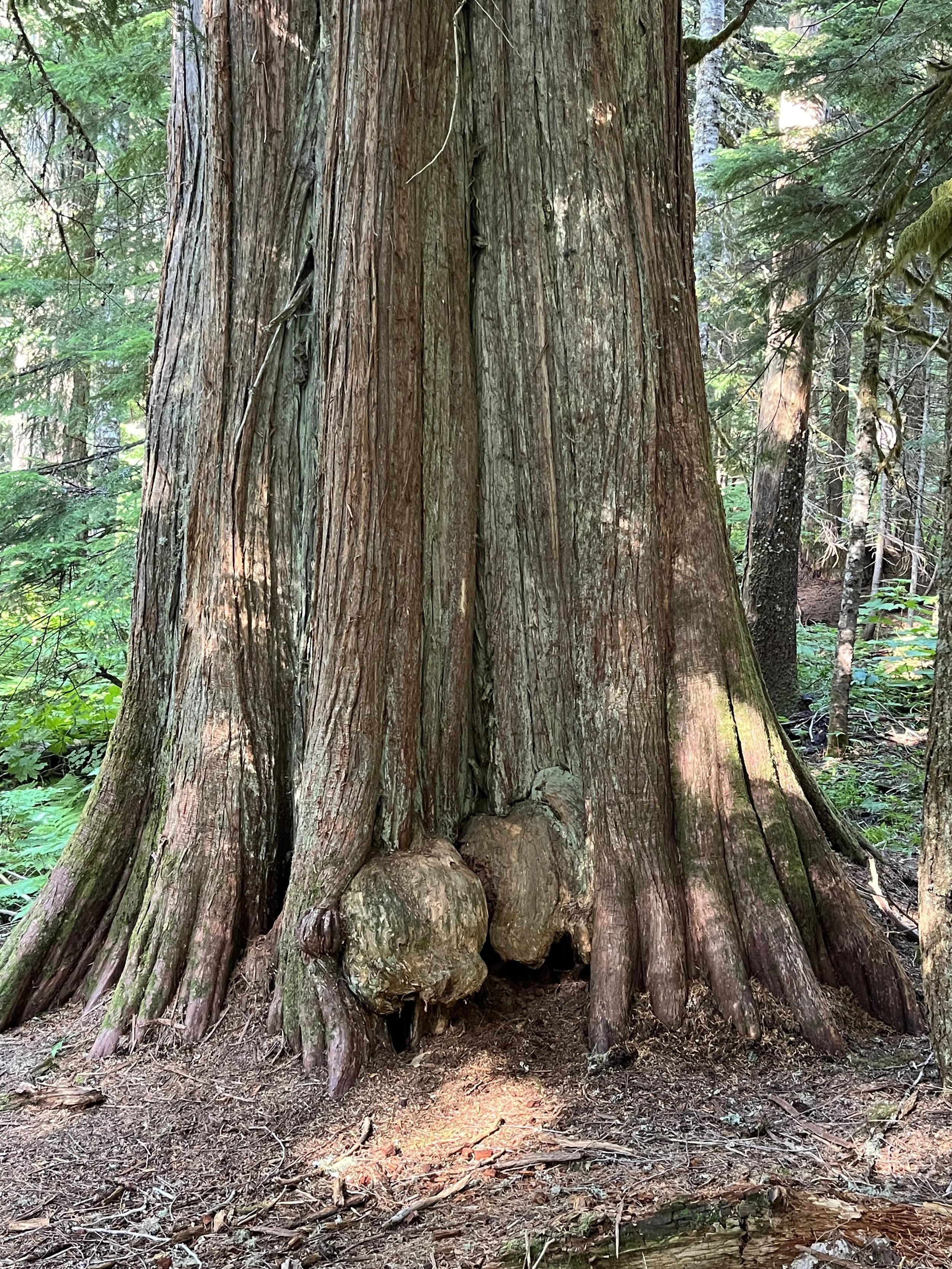
Western redcedar 8 1/2' thick
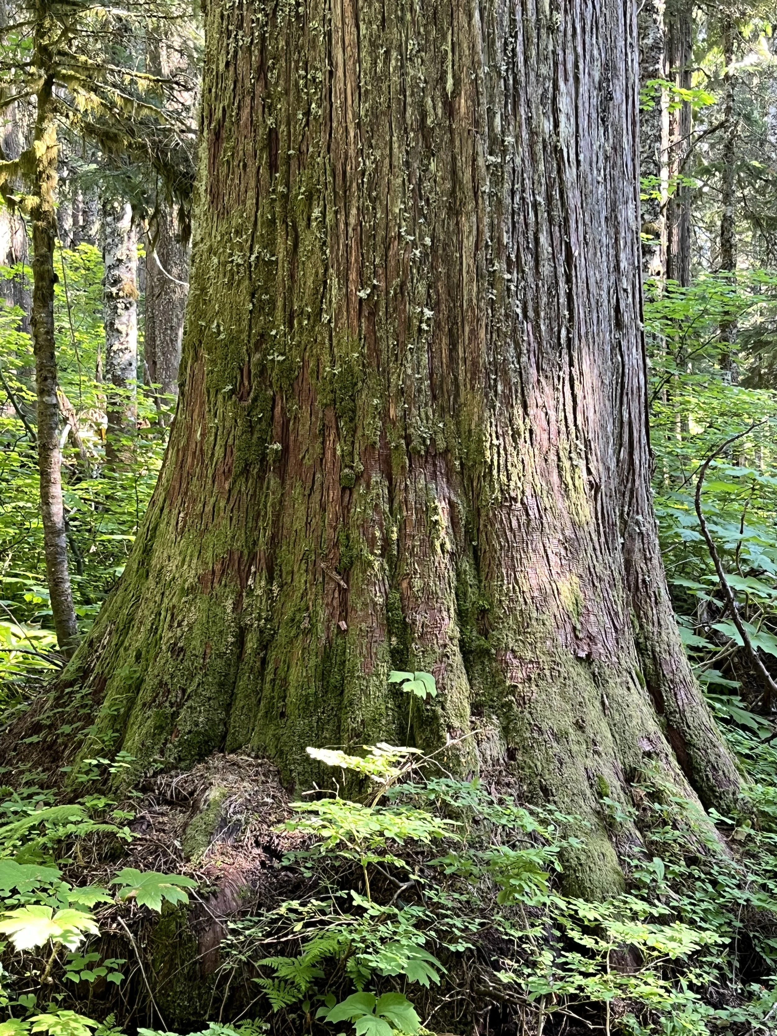
Gorgeous redcedar
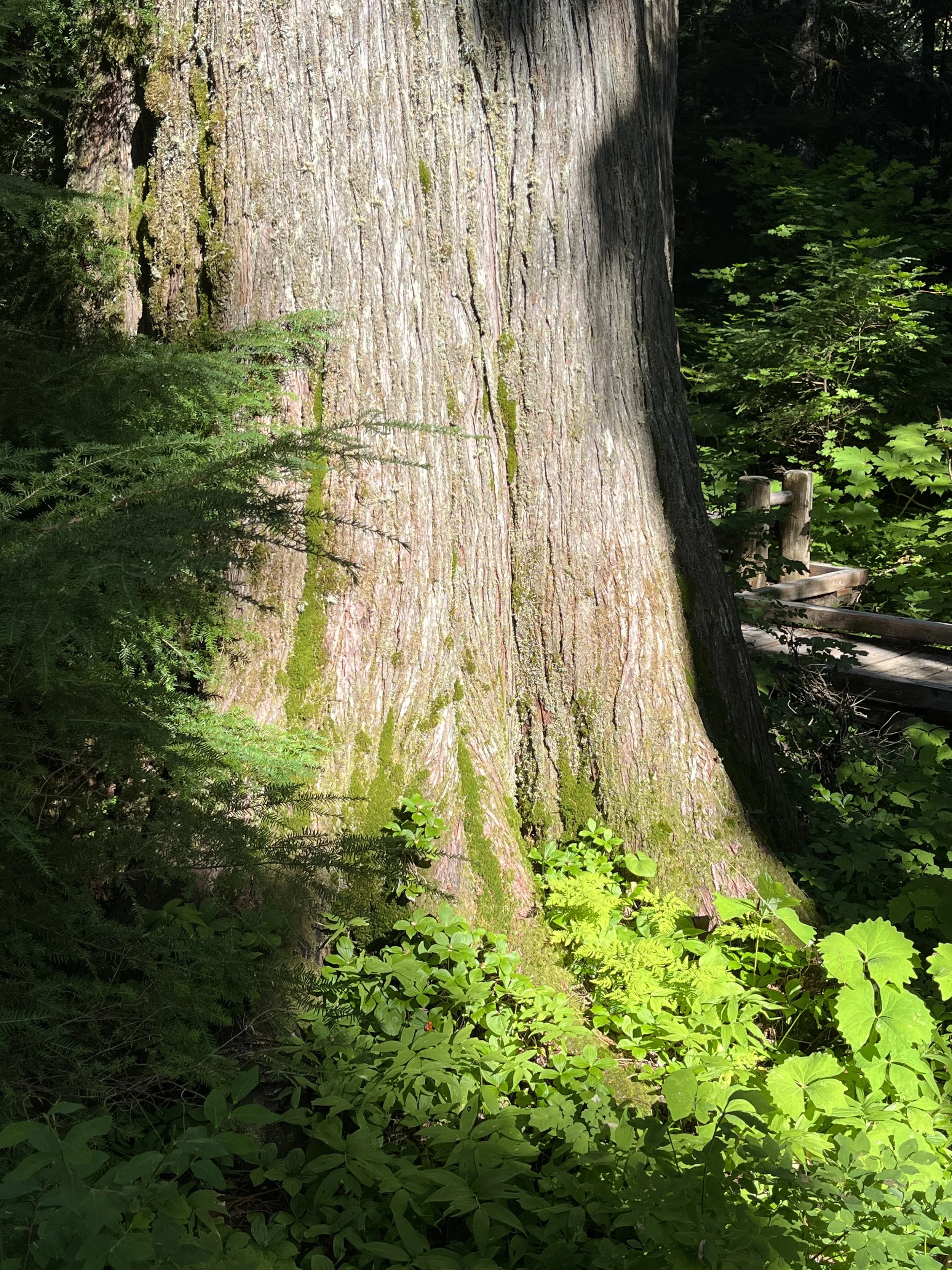
Enormous redcedar
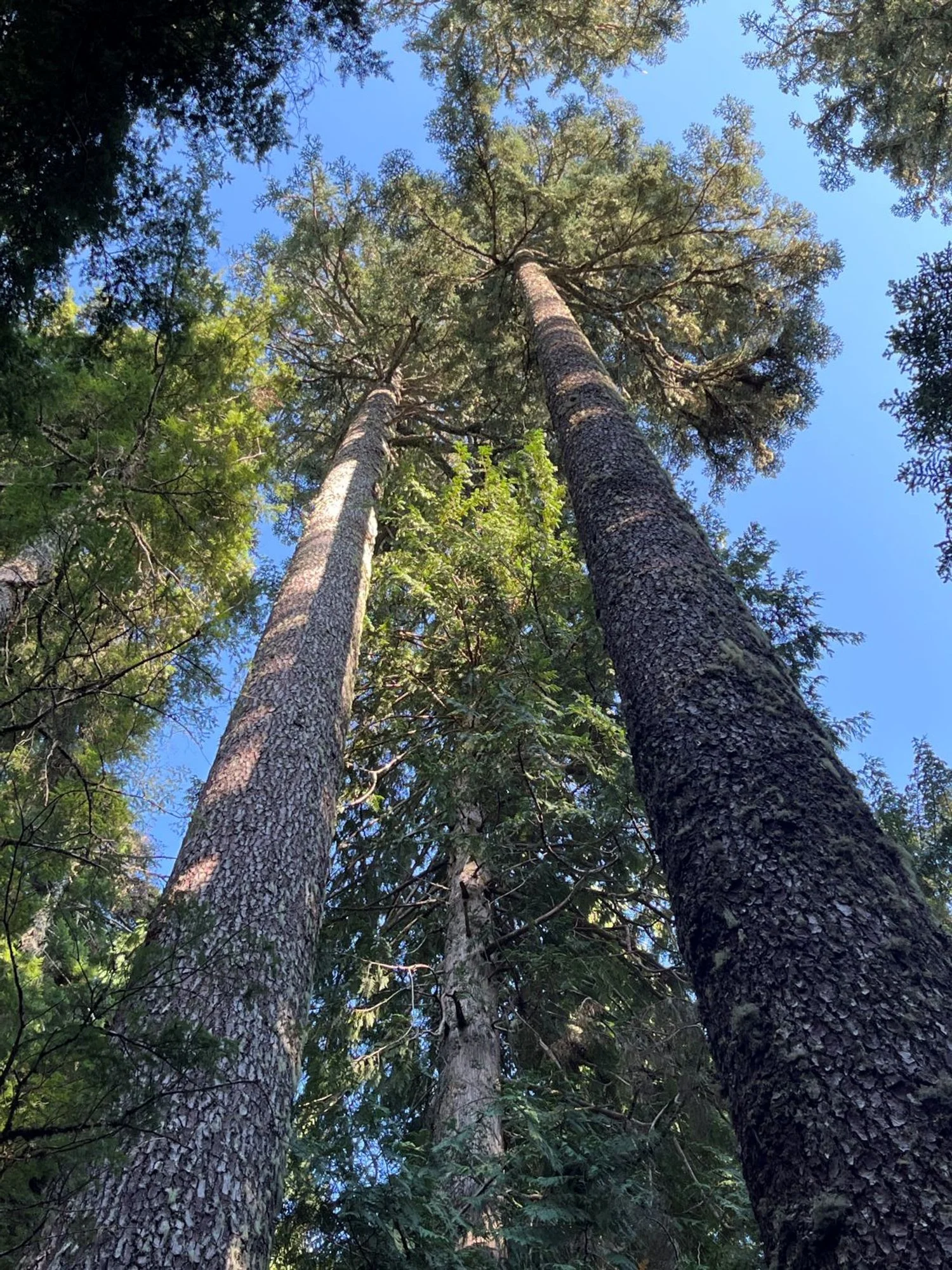
Towering noble fir
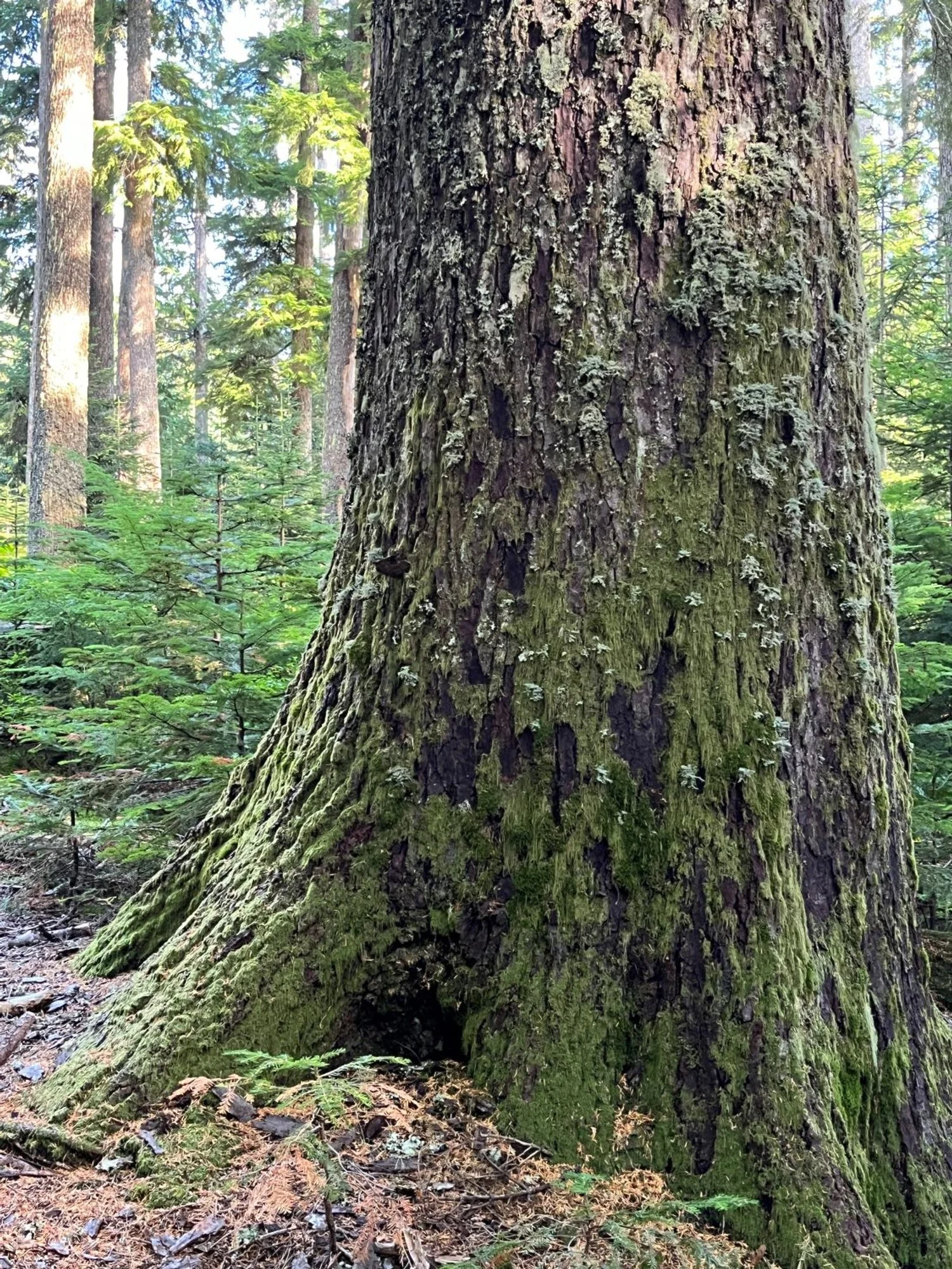
Giant noble fir
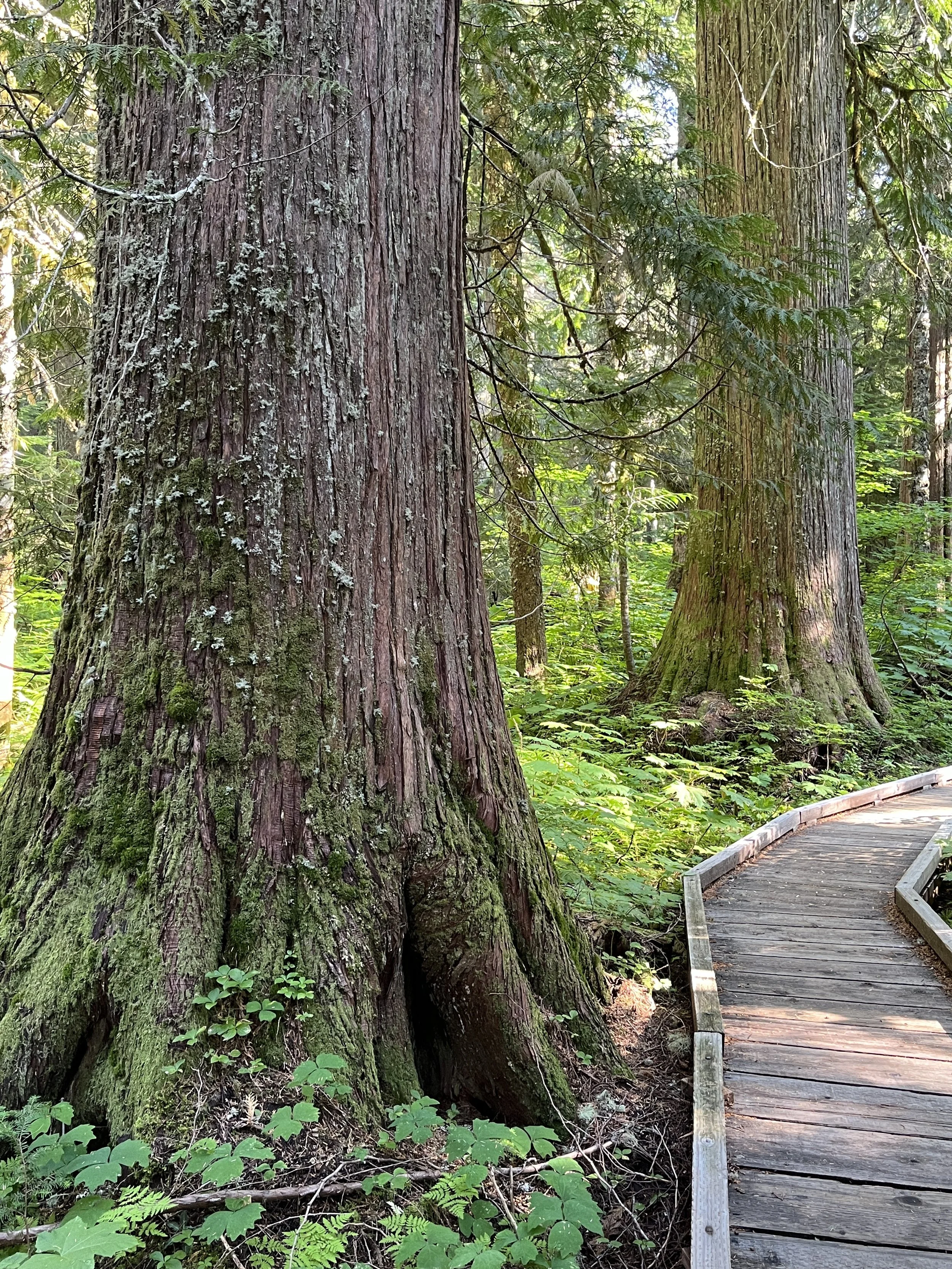
Boardwalk through the grove
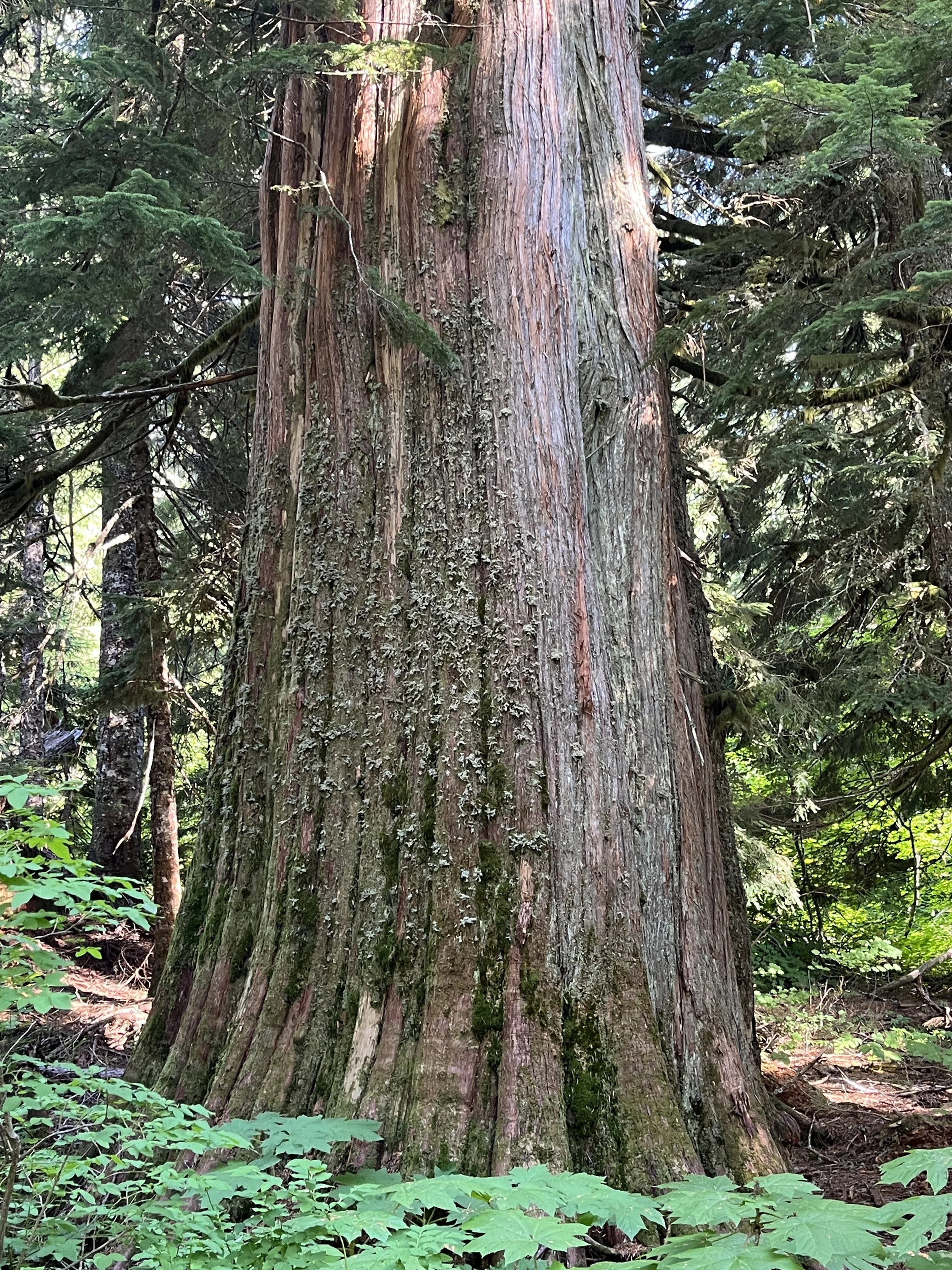
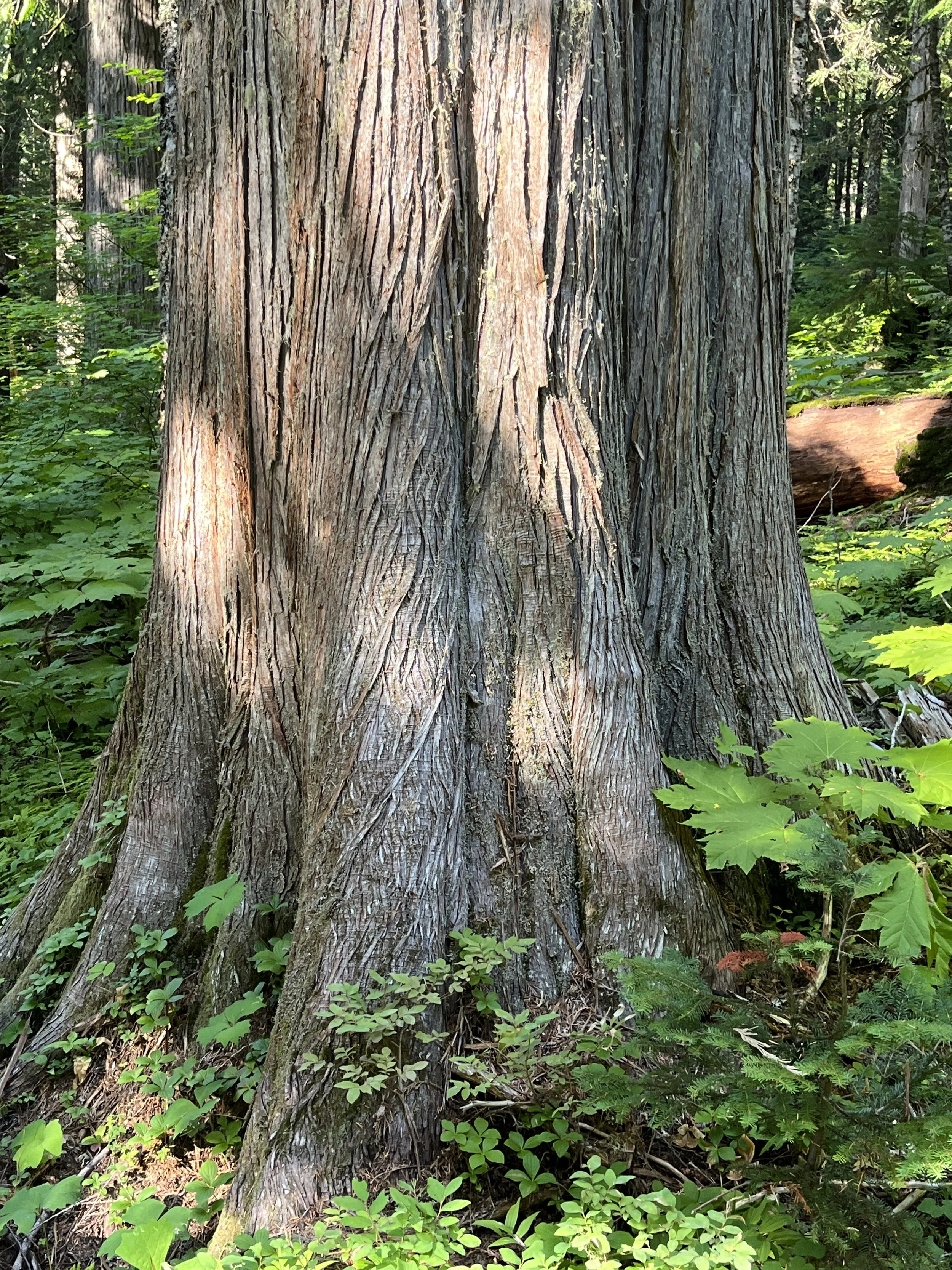
Another striking redcedar
A spectacular grove of redcedars

Long, straight, branchless noble fir trunk