4. Lost Lake

Enormous western redcedar
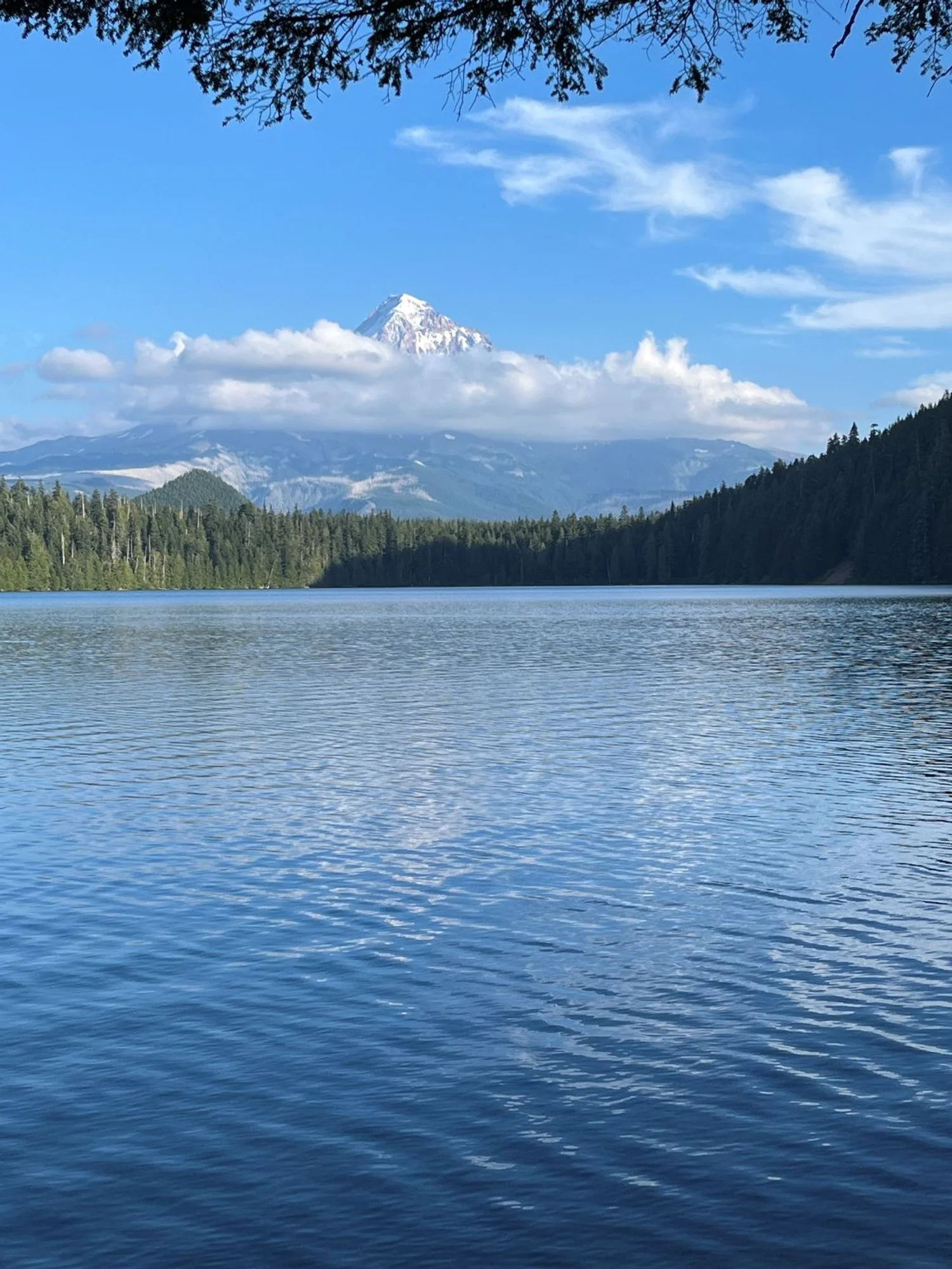
Mount Hood over Lost Lake

Western redcedar

Towering noble fir

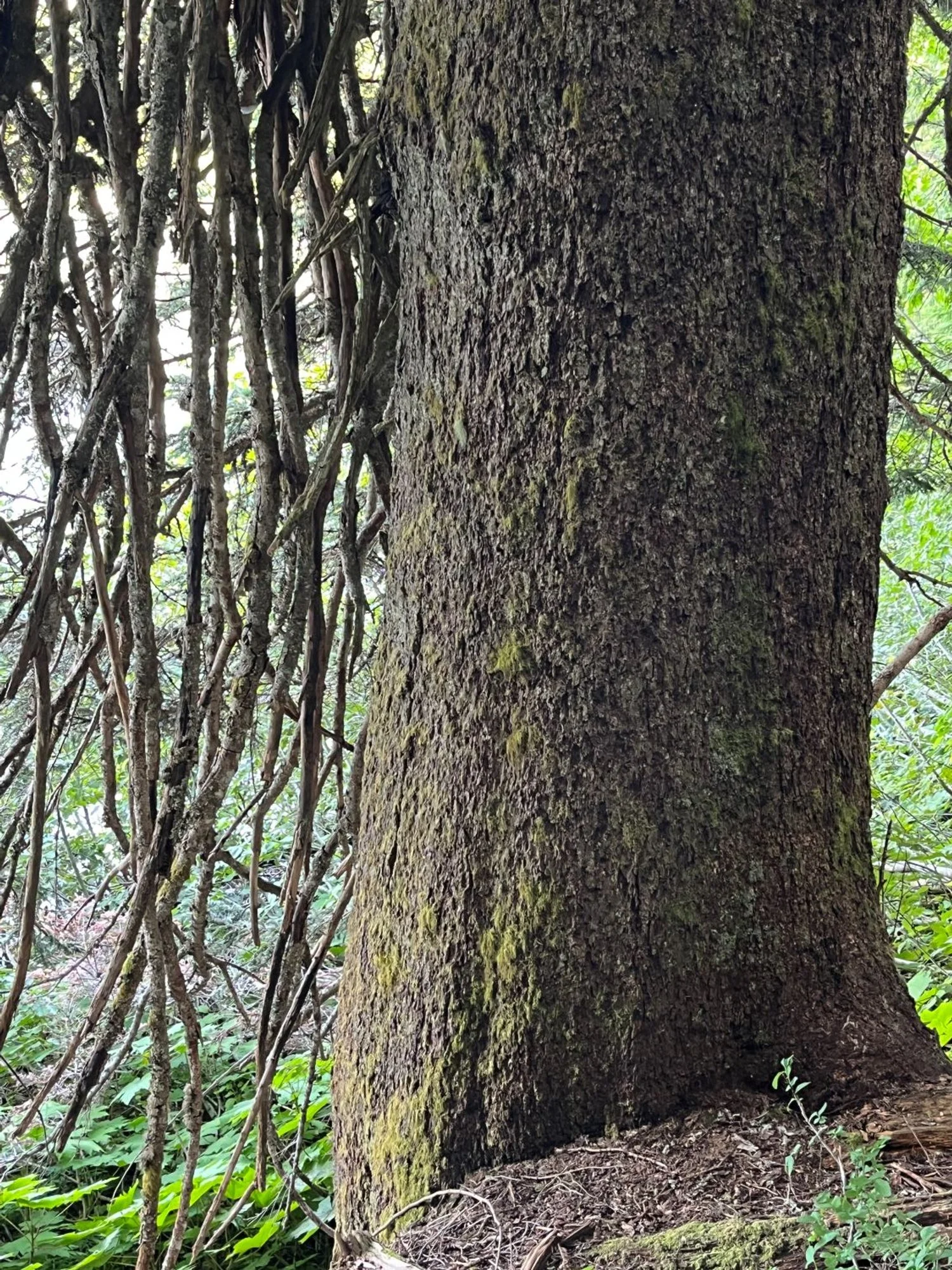
Chunky Douglas-fir
Huge Pacific silver fir

Lakeshore redcedars
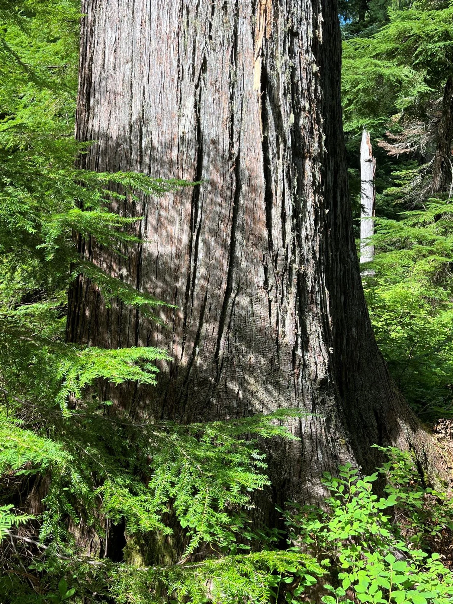
Massive western redcedar

Paddleboarder on Lost Lake