
10. Anthill Loop
Note: As of April, 2025 FR 1310 is blocked by a significant landslide.
Summary
Length 4 ½ mile loop
Difficulty Easy
Season Summer to early autumn
Elevation range 3,740 – 4,480 feet
Human imprint Moderate (campers, hikers, nearby road)
Information Mount Hood National Forest (Hood River Ranger District)
Primary old growth features
Very large Pacific silver fir; mixed Douglas-fir and noble fir old growth.
Description
The Anthill Trail can be combined with portions of the Herman Creek Trail and the Pacific Crest Trail (PCT) to form an easy loop through the scenic mid-elevation old growth above Wahtum Lake. A particularly notable stand of ancient Pacific silver fir stands astride the trail at the northern end of the loop, and ridgeline vistas of Wahtum Lake and Mt. Hood open up on the southeastern leg. Note that fireline work and subsequent restoration occurred across the northern section of the loop in 2024 in response to the Whisky Creek Fire, though the impacts are not expected to be substantial.
From the parking area, head uphill to the east on the Anthill Trail (406B) through stately noble fir, Douglas-fir and Pacific silver fir approximately 300-years old. After a half mile or so, small meadow and rock openings afford views over Wahtum Lake and of Mt. Hood looming over the ridge to the south. Chinidere Mountain and upper Eagle Creek, including the southern edge of the Eagle Creek Fire (2017), are also within the field of view. The trail then enters younger forest and crosses the Rainy-Wahtum Trail, which is an old road at this juncture. Note that this is the location most likely to be impacted by the Whisky Creek fireline work.
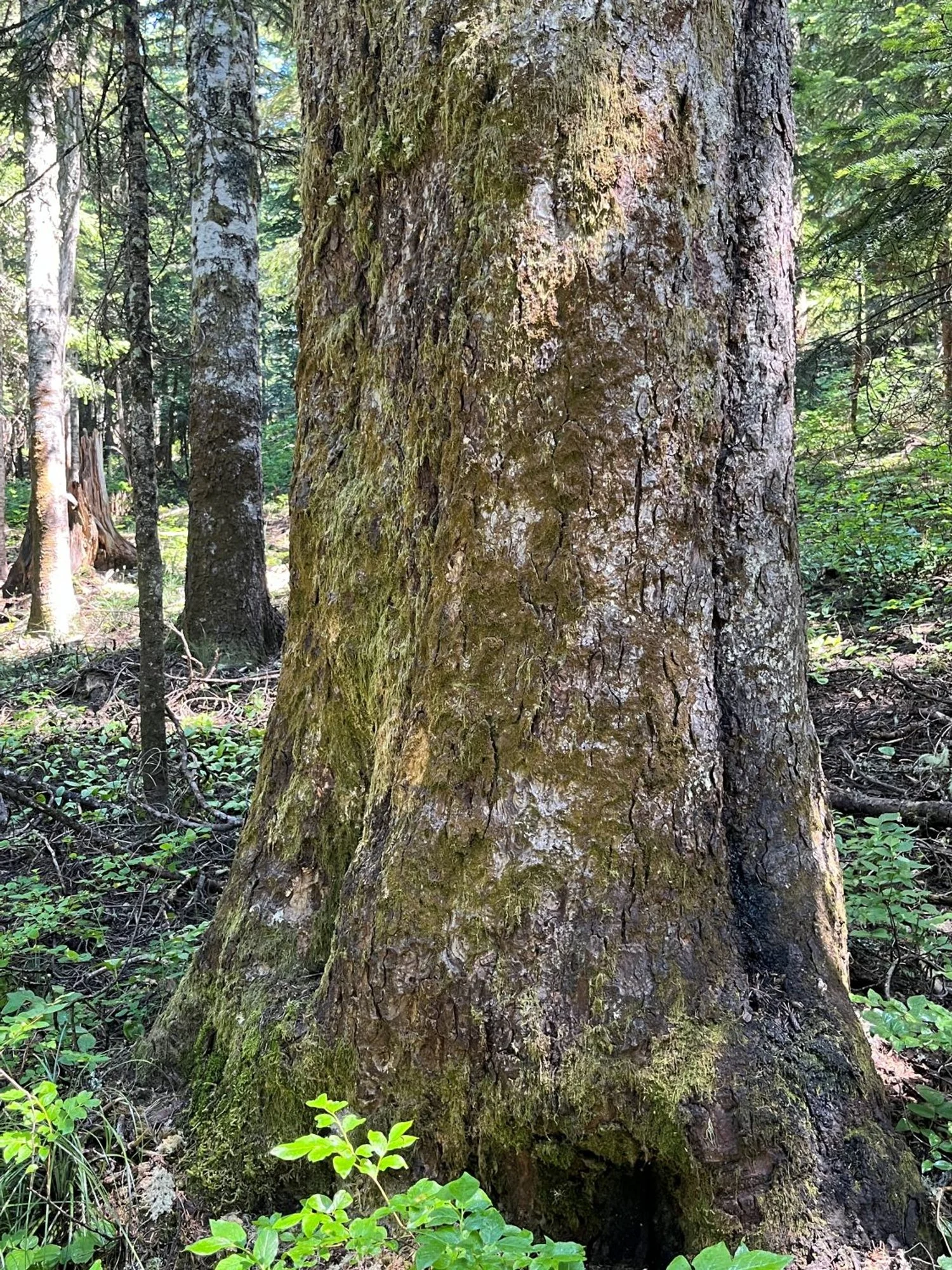
The Anthill Trail heads downhill from the junction and enters a noteworthy stand of old Pacific silver fir. The chunky, old firs in this stand are quite striking and appear substantially older than most of the old forest surrounding Wahtum Lake. A short way down the ridge, turn left and head south on the Herman Creek Trail (406), continuing among the elder silver fir. The trail crosses gently over into the upper Eagle Creek watershed and enters young forest shortly before reaching a junction with the PCT.
Turn left on the PCT and curve around the slopes above Wahtum Lake headed back to the trailhead. The trail soon reenters the handsome stand of Douglas-fir and noble fir old growth described above. Note that hikers can easily take a side trip to Chinidere Mountain from the Herman Creek and PCT junction (see hike 9.)
30 years of change
Most of the forest appears very little changed, though contingency fire lines were prepared across portions of the upper sections of this loop in response to the 2024 Whisky Creek Fire. The fire did not reach the trails described for this hike, and these locations have subsequently been reported as ‘restored.’ The loop has been slightly enlarged to include the old Pacific silver fir described above.
How to get there
Head south through the town of Hood River on 13th Street, continuing south on Highway 281 (Dee Highway). Stay on Highway 281 for a little over 11 miles, then turn right onto Lost Lake Road near Dee. Stay on Lost Lake Road for approximately 5 miles, then turn right at a signed junction onto FR 13 towards Wahtum Lake. Follow FR 13 for 4 1/3 miles, then veer right onto FR 1310. Park at the Wahtum Lake Campground pullout 6 miles later. Although paved the whole way, use extra caution over the last portion of FR 13 and FR 1310 as they are narrow and slumpy. Note that there is a $10 day-use fee at the campground, and that senior passes and the Northwest Forest Pass are not honored.
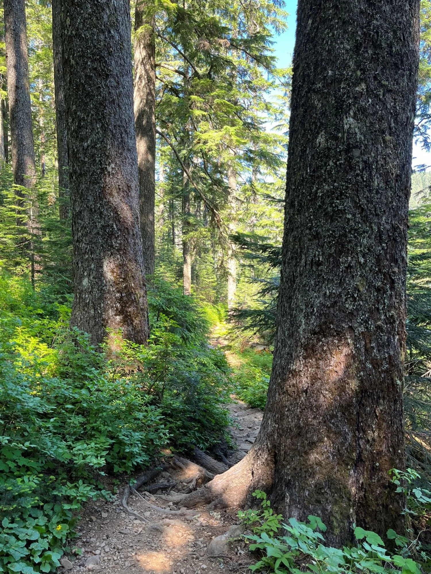
Entering the grove ...
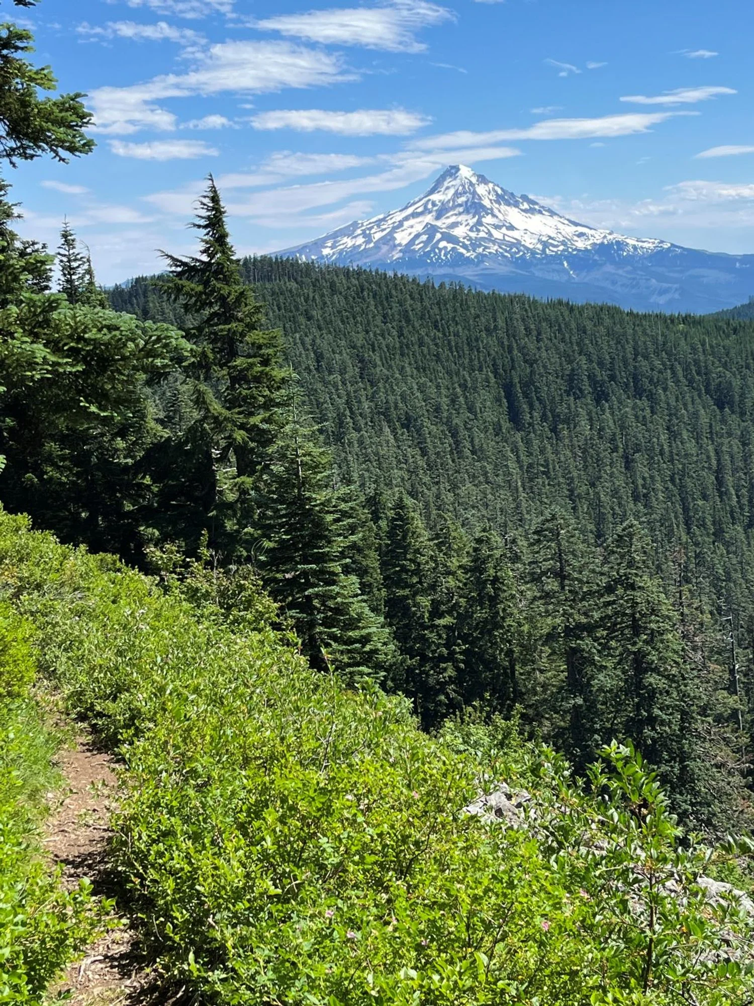
Mt. Hood
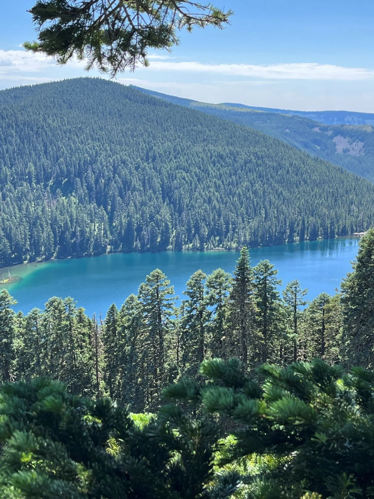
Wahtum Lake

Ancient Pacific silver fir
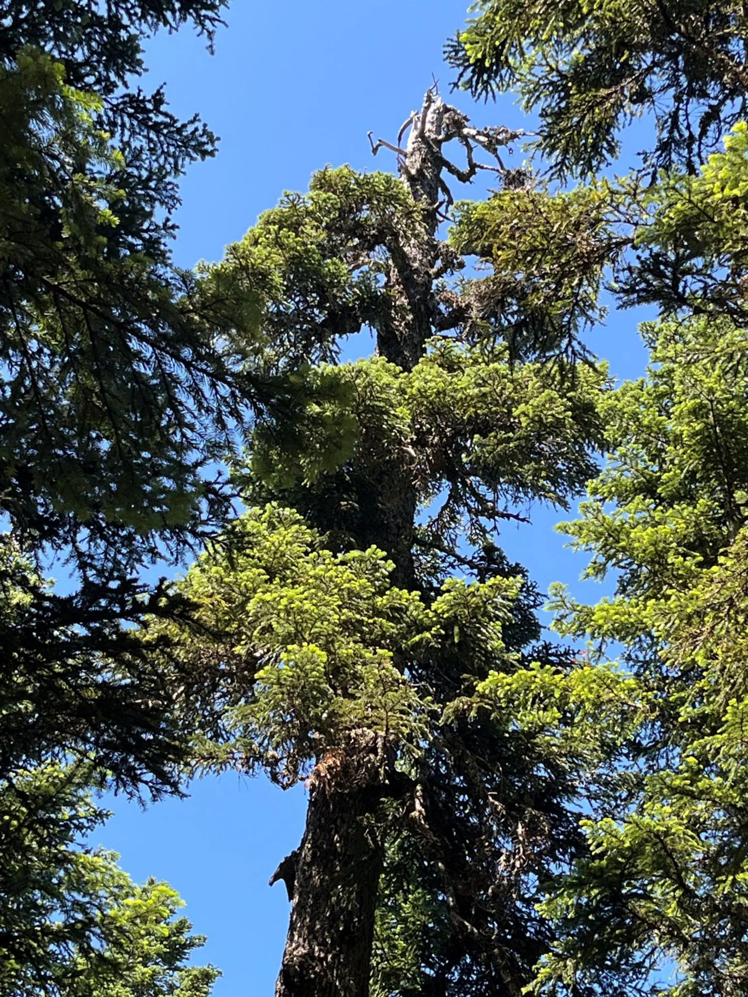
Old silver fir crown
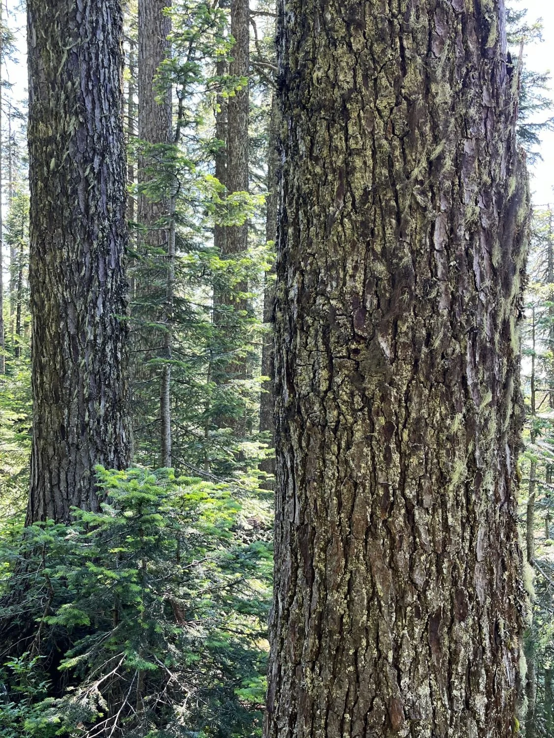
Noble fir