9. Wahtum Lake Loop
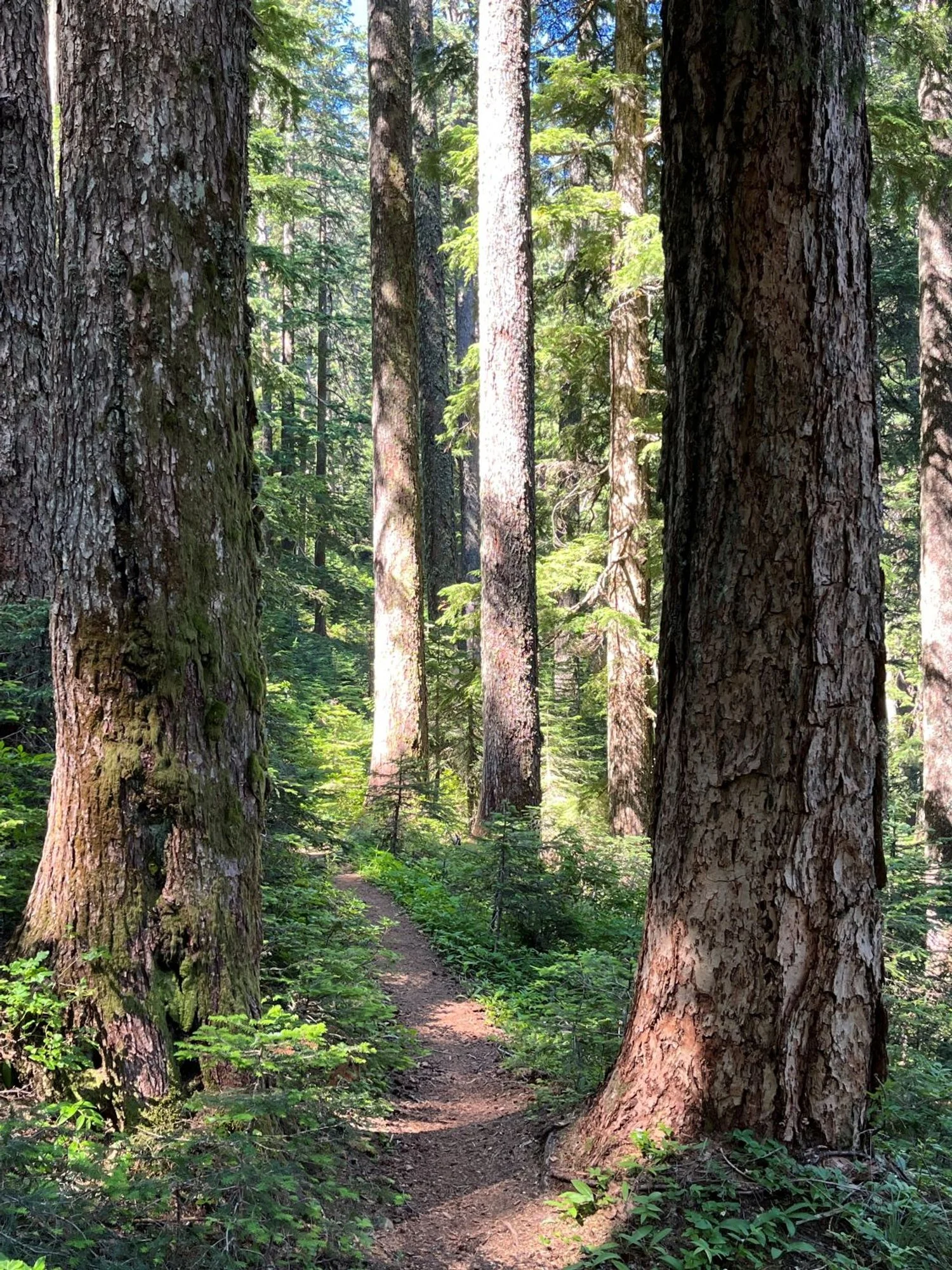
Noble fir and Douglas-fir welcome hikers
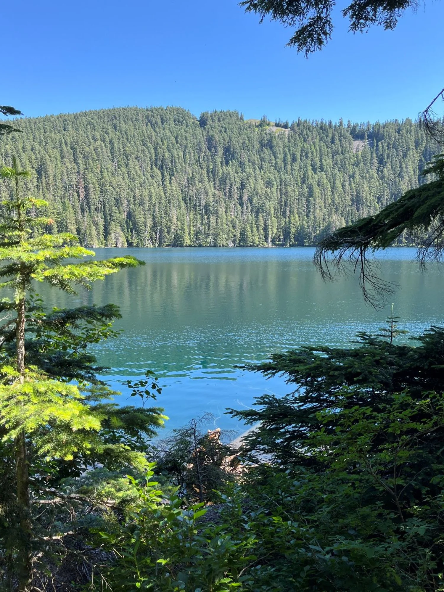
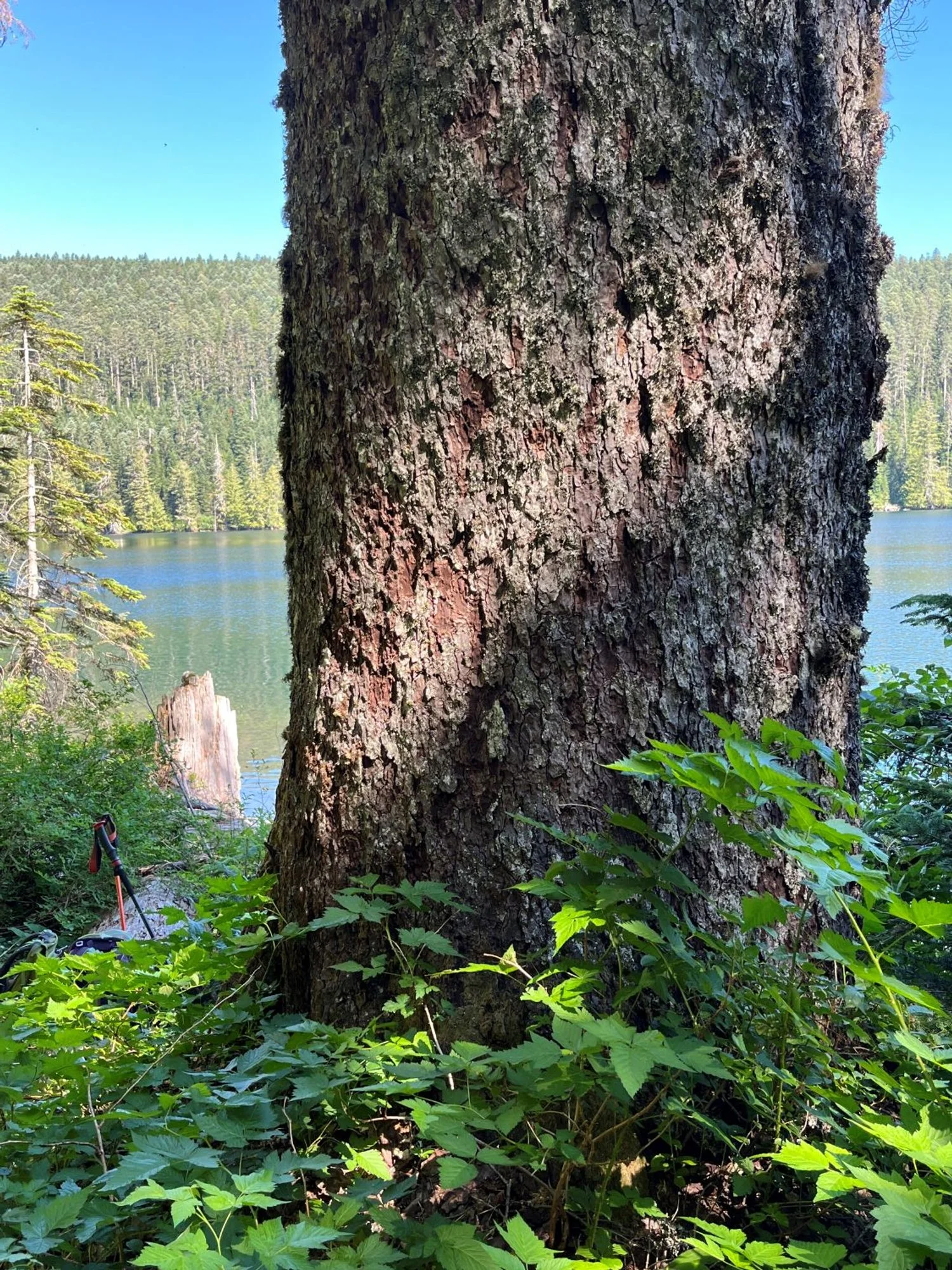
Wahtum Lake
Lakeside beauty
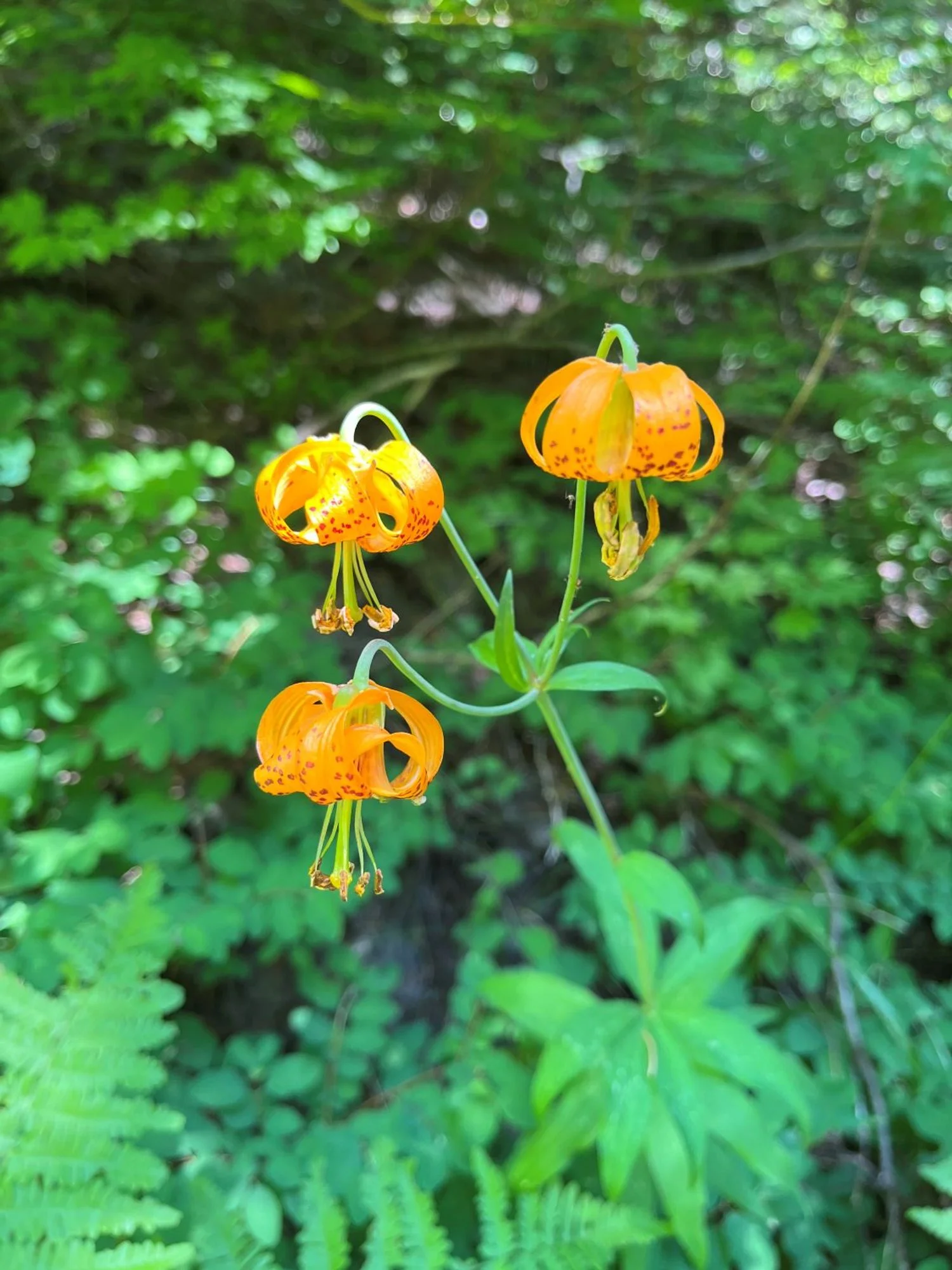
Columbia Lily
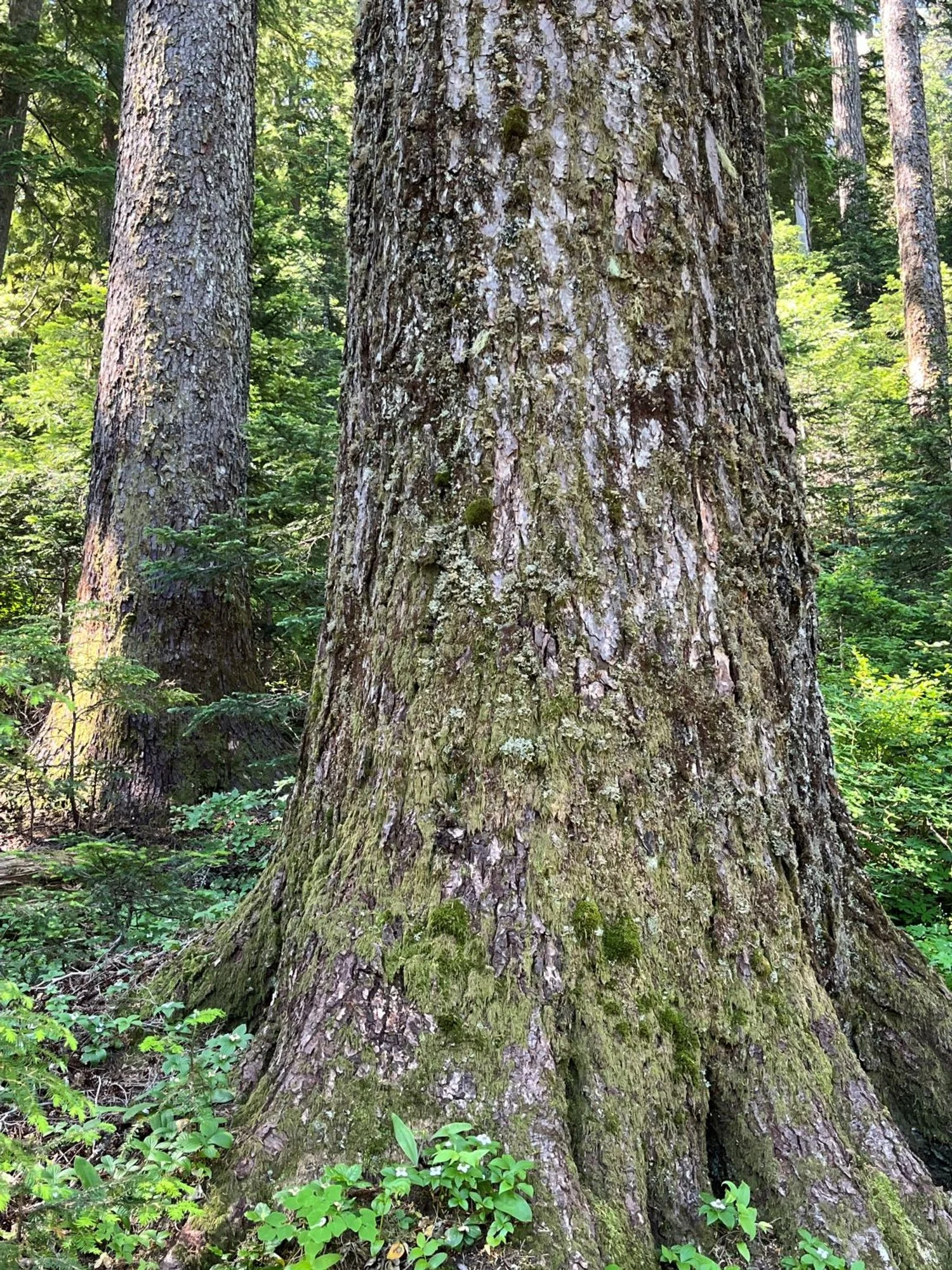
Noble fir
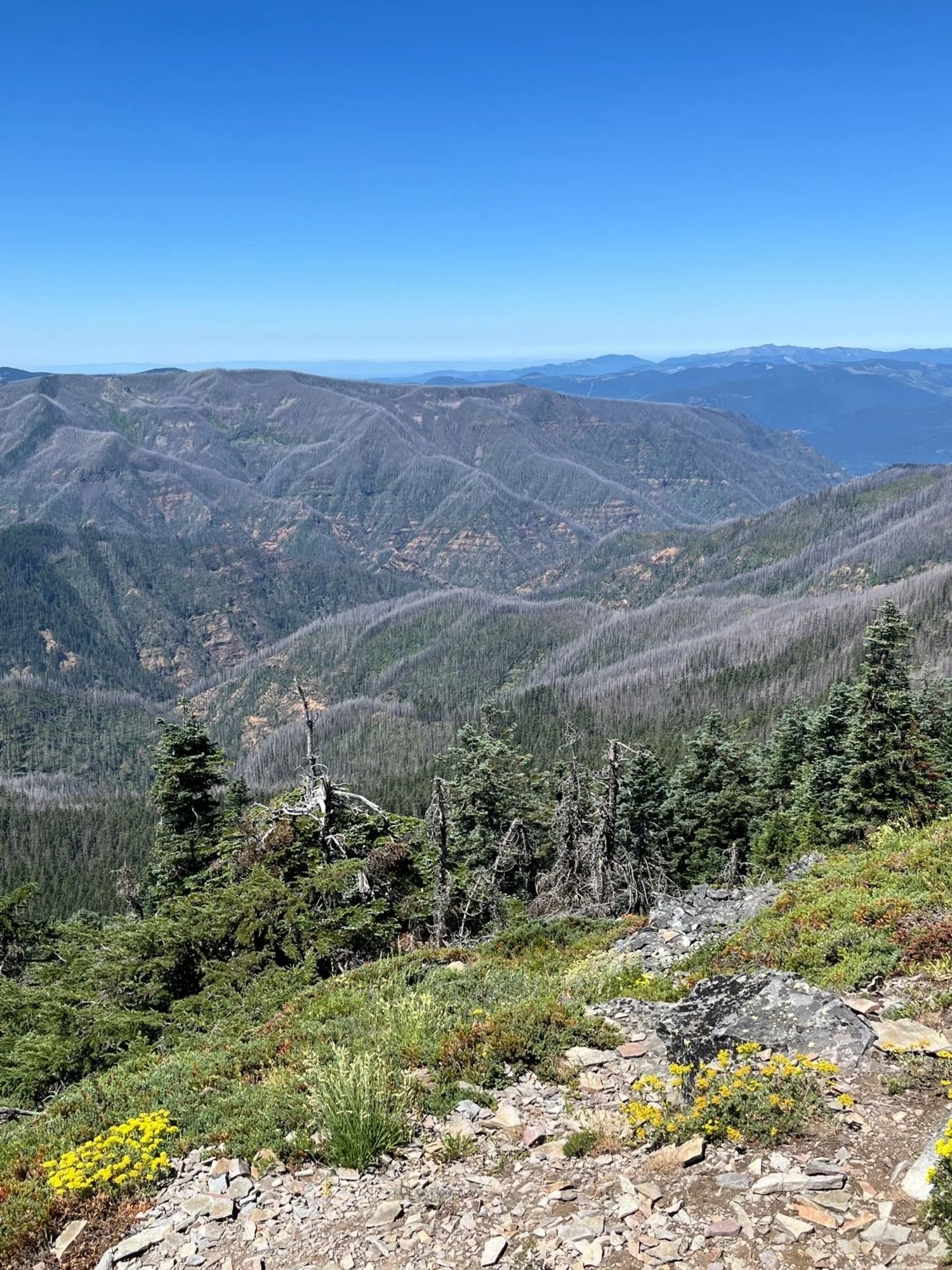
Eagle Creek Fire (2017)
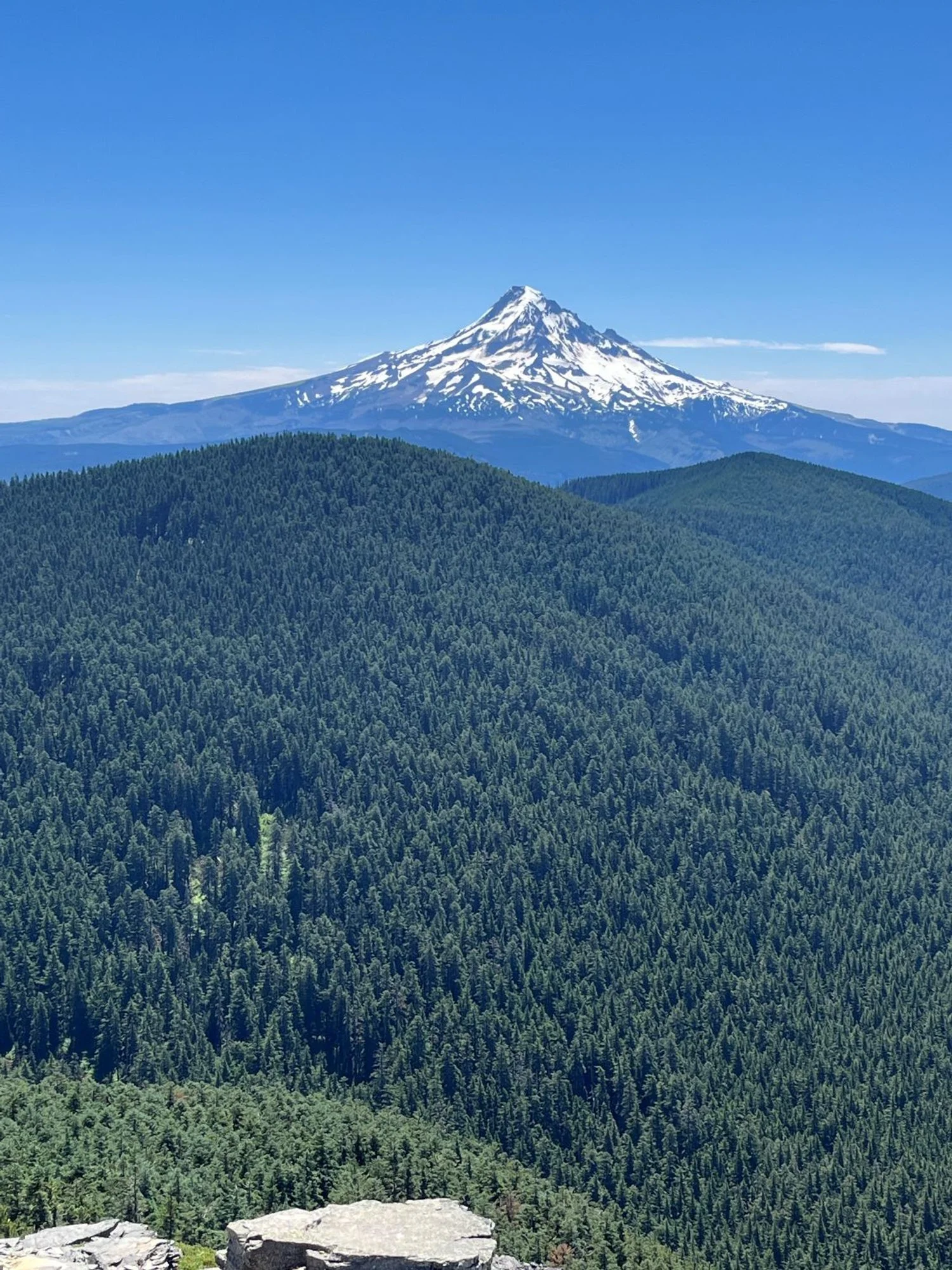
Mt. Hood
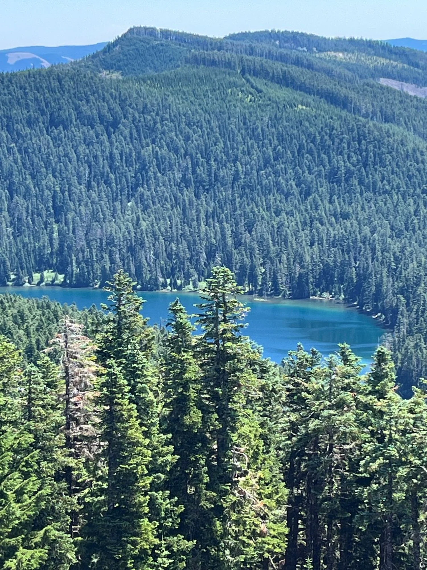
Wahtum Lake