

8. Indian Springs Loop
Summary
Length 9-mile loop
Difficulty Moderate
Season Summer to autumn
Elevation range 2,560 feet – 4,250 feet
Human imprint Minimal, except right around Wahtum Lake
Information Mt. Hood National Forest, Hood River Ranger District
Primary old growth features
Attractive stand of transition old growth featuring distinctive noble fir and western hemlock.
Description
The north- and west-facing sidewalls in the upper East Fork Eagle Creek basin host an attractive stand of stately old growth that escaped both historical fires and the recent Eagle Creek Fire (2017). Head out of the parking area on either the well-graded Wahtum Lake Trail, or take the direct, stepped path down to the lake on the Wahtum Express Trail. Both travel through noble fir-Douglas-fir old growth on the way to Wahtum Lake and a junction with the Pacific Crest Trail (PCT, 2000). Head left on the PCT around the south side of the lake and begin a steady, moderate climb towards Indian Springs. Impressive noble fir matriarchs adorn the trail from the trailhead to the ridgeline.
At Indian Springs turn right on the Indian Springs Trail (435) and begin a steep descent along the ridge. Views of Chinidere Mt. and Eagle Creek basin open up along the way, including vistas over the Eagle Creek Fire. The Eagle Creek Fire burned and smoldered well into the fall of 2017, finally burning out in the area near the trail junction with the Eagle Creek Trail (440).
Turn right on the Eagle Creek Trail and head back towards Wahtum Lake. A particularly relaxing riparian refugia of old-growth Douglas-fir appears a little over a mile from the junction, a welcome respite amidst a younger forest. Continue up the Eagle Creek Trail to Wahtum Lake, reentering the mixed-species old forest earlier traversed. Distinctive western hemlock and Pacific silver mix with large noble fir over the last 3/4 mile before rejoining the PCT at Wahtum Lake.
25 Years of Change
The forest appears largely unchanged, except near the lower trail junction where the upper margin of the Eagle Creek Fire (2017) is located. Occasional views of the fire also open up on the ridgeline coming down from Indian Springs.
How to get there
Head south through the town of Hood River on 13th Street, continuing south on Highway 281 (Dee Highway). Stay on Highway 281 for a little over 11 miles, then turn right onto Lost Lake Road near Dee. Stay on Lost Lake Road for approximately 5 miles, then turn right at a signed junction onto FR 13 towards Wahtum Lake. Follow FR 13 for 4 1/3 miles, then veer right onto FR 1310. Park at the Wahtum Lake Campground pullout 6 miles later. Although paved the whole way, use extra caution over the last portion of FR 13 and FR 1310 as they are narrow and slumpy. Note that there is a $10 day-use fee at the campground, and that senior passes and the Northwest Forest Pass are not honored.

Noble fir

Mt. Hood behind the old growth near Wahtum Lake
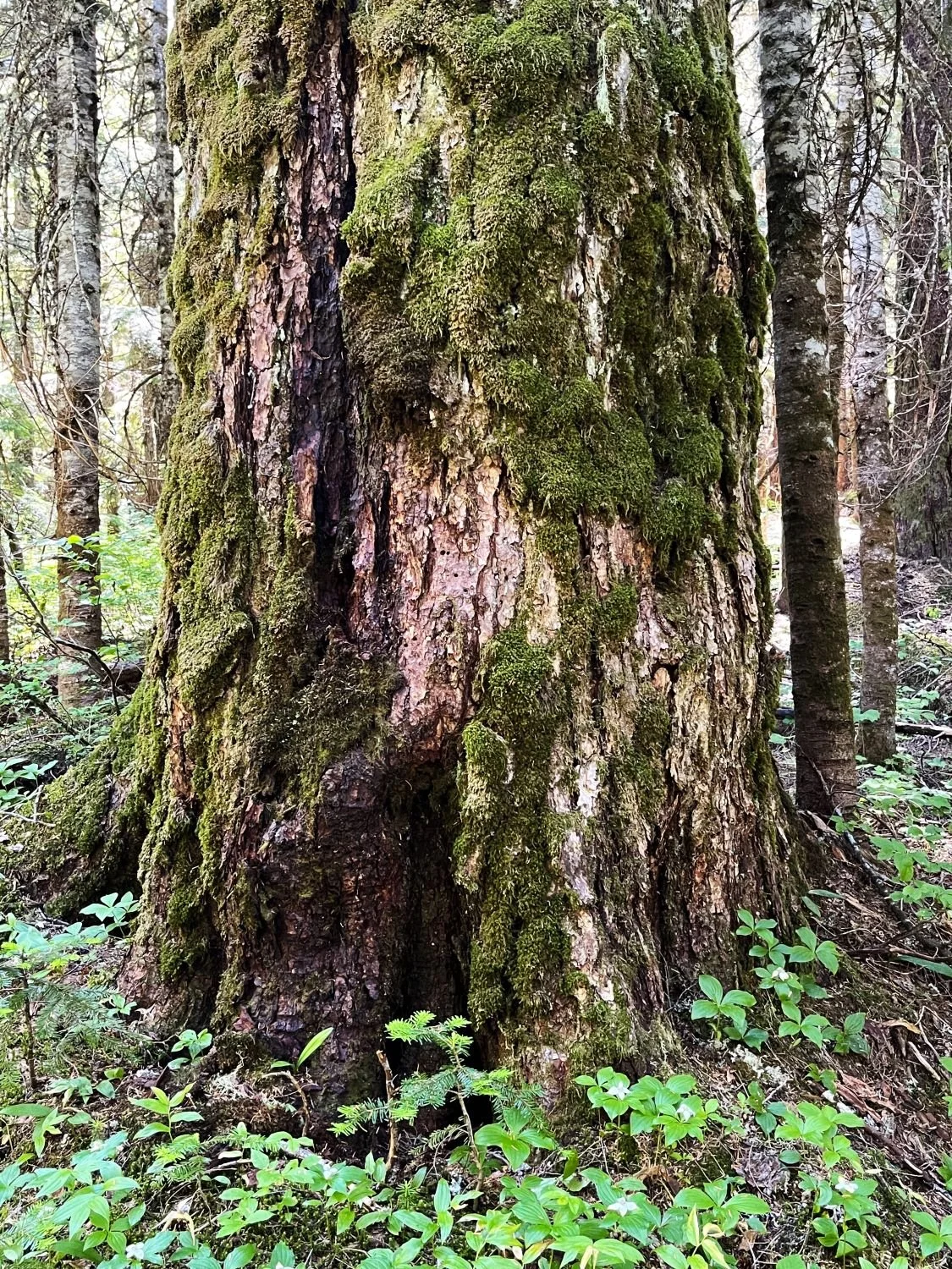
Mossy, old Douglas-fir

Massive noble fir by Wahtum Lake

RIparian old growth survived the last fire

Diane and the giant hemlock

Fat silver fir

The Eagle Creek Fire burned out at the lower corner of the loop