23. Tamanawas Falls
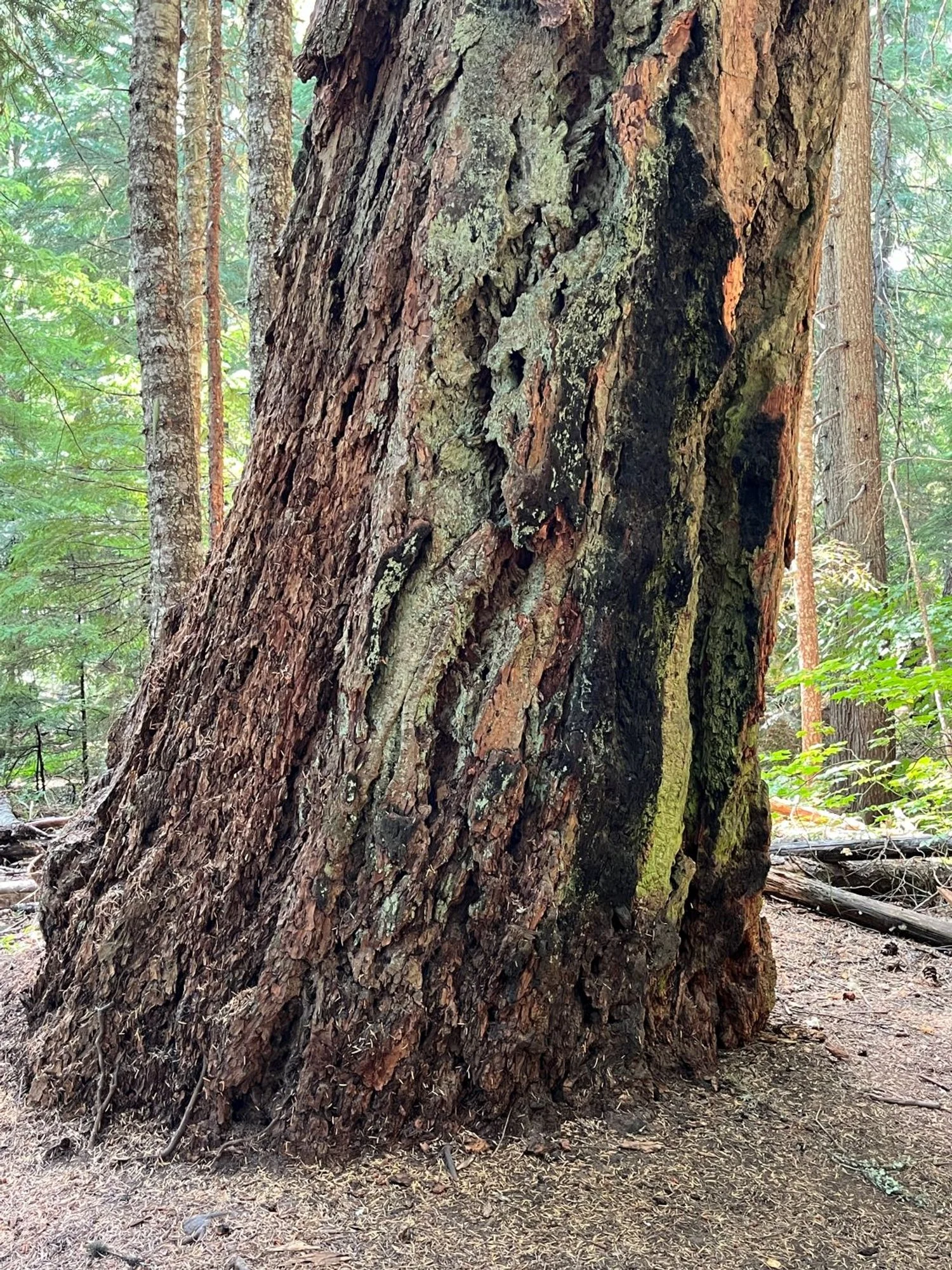
Fire-scorched, old Douglas-fir
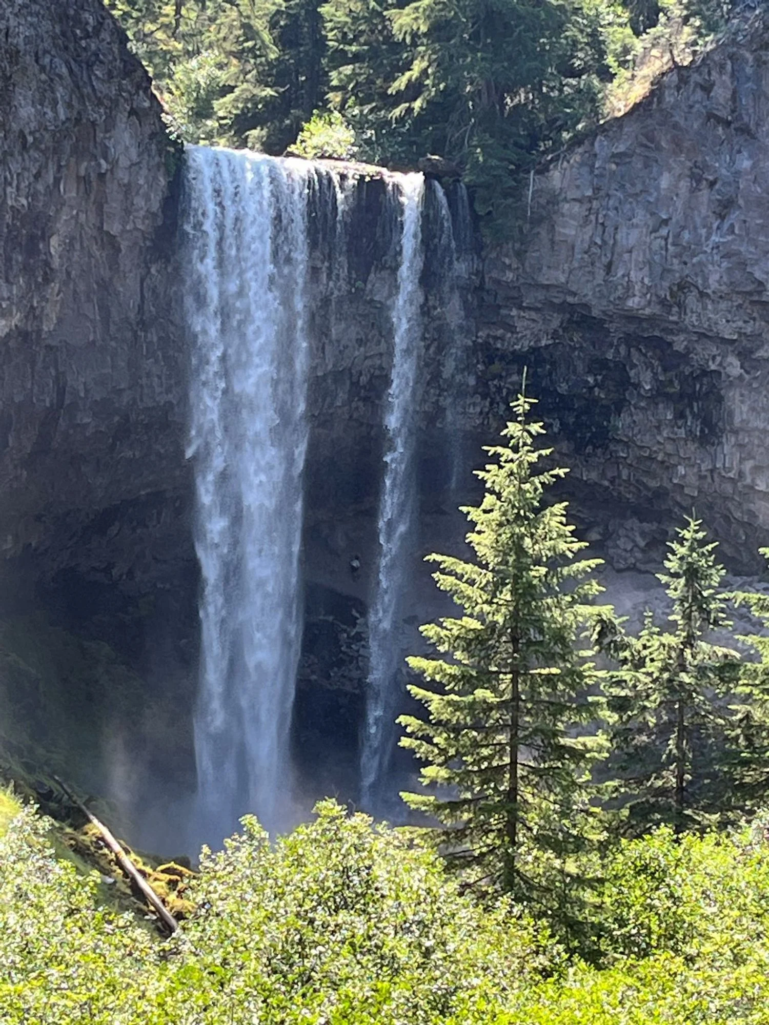
Tamanawas Falls
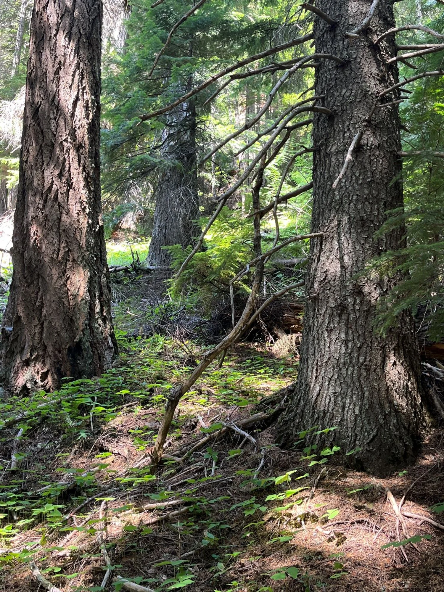
Grand fir and Douglas-fir
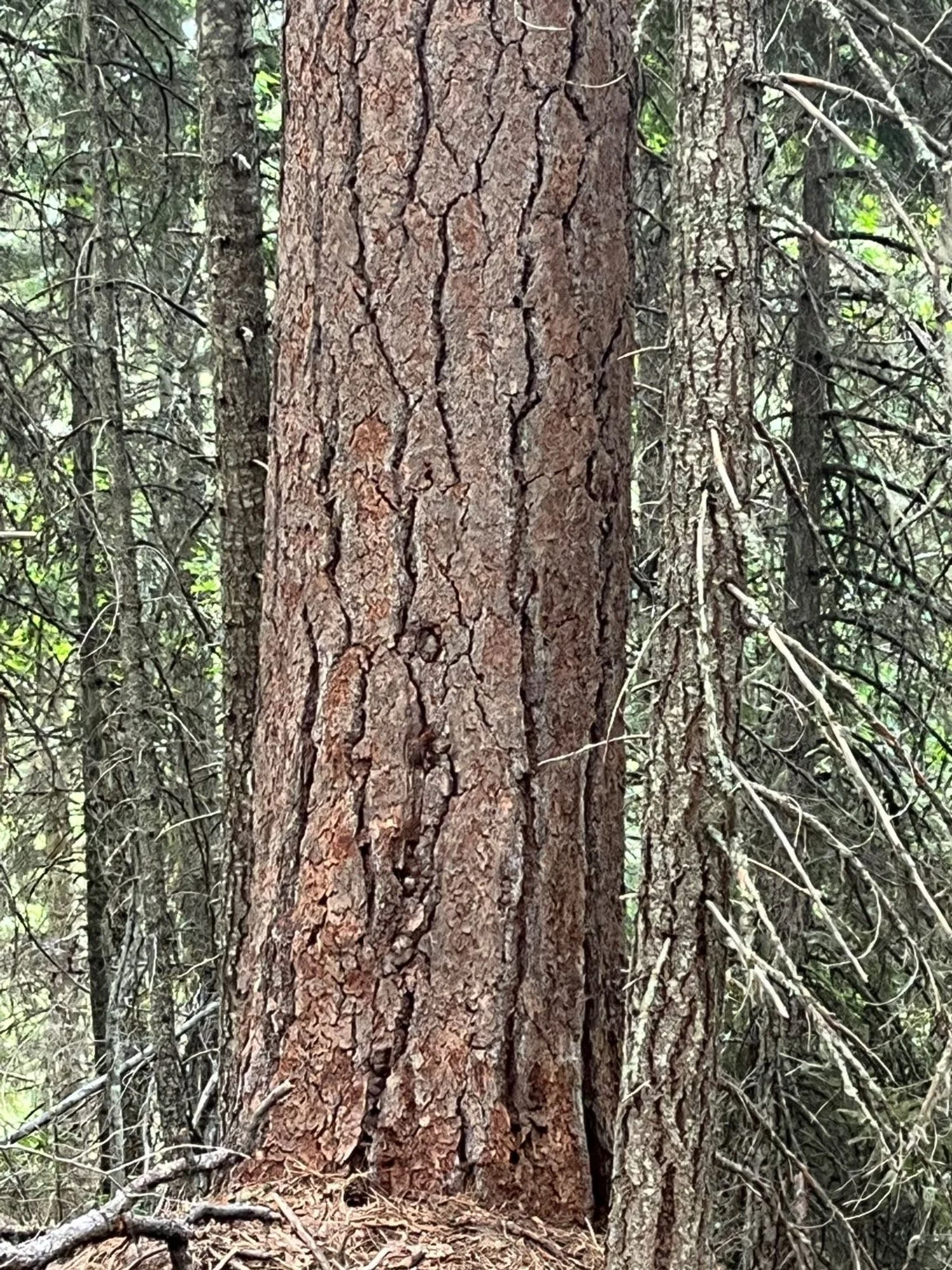
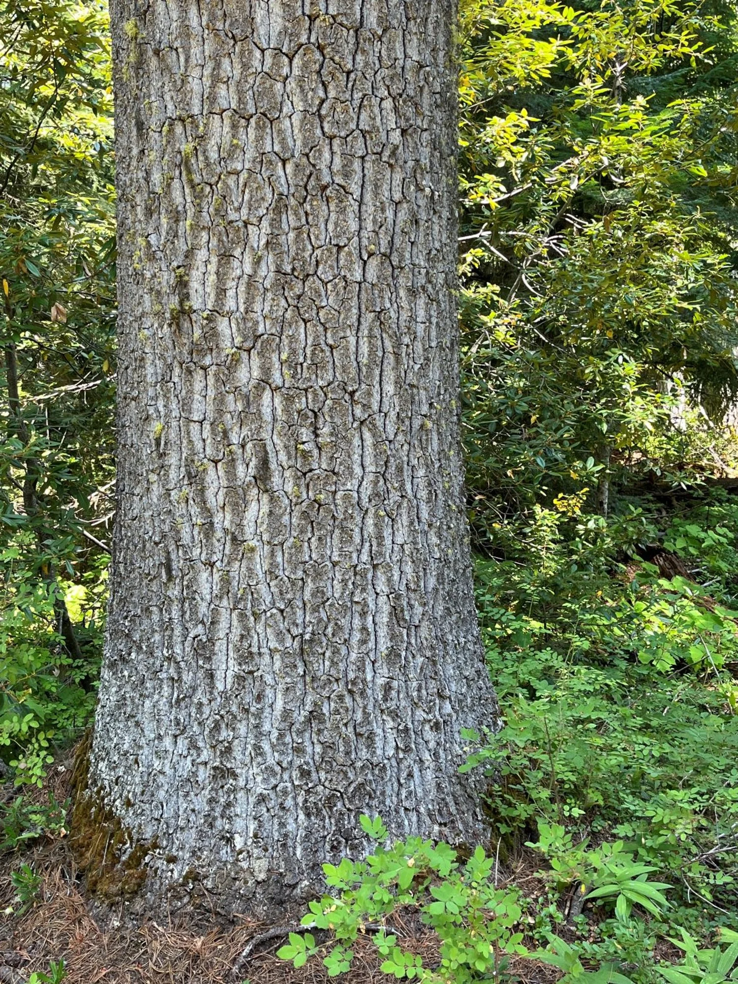
Stout ponderosa pine
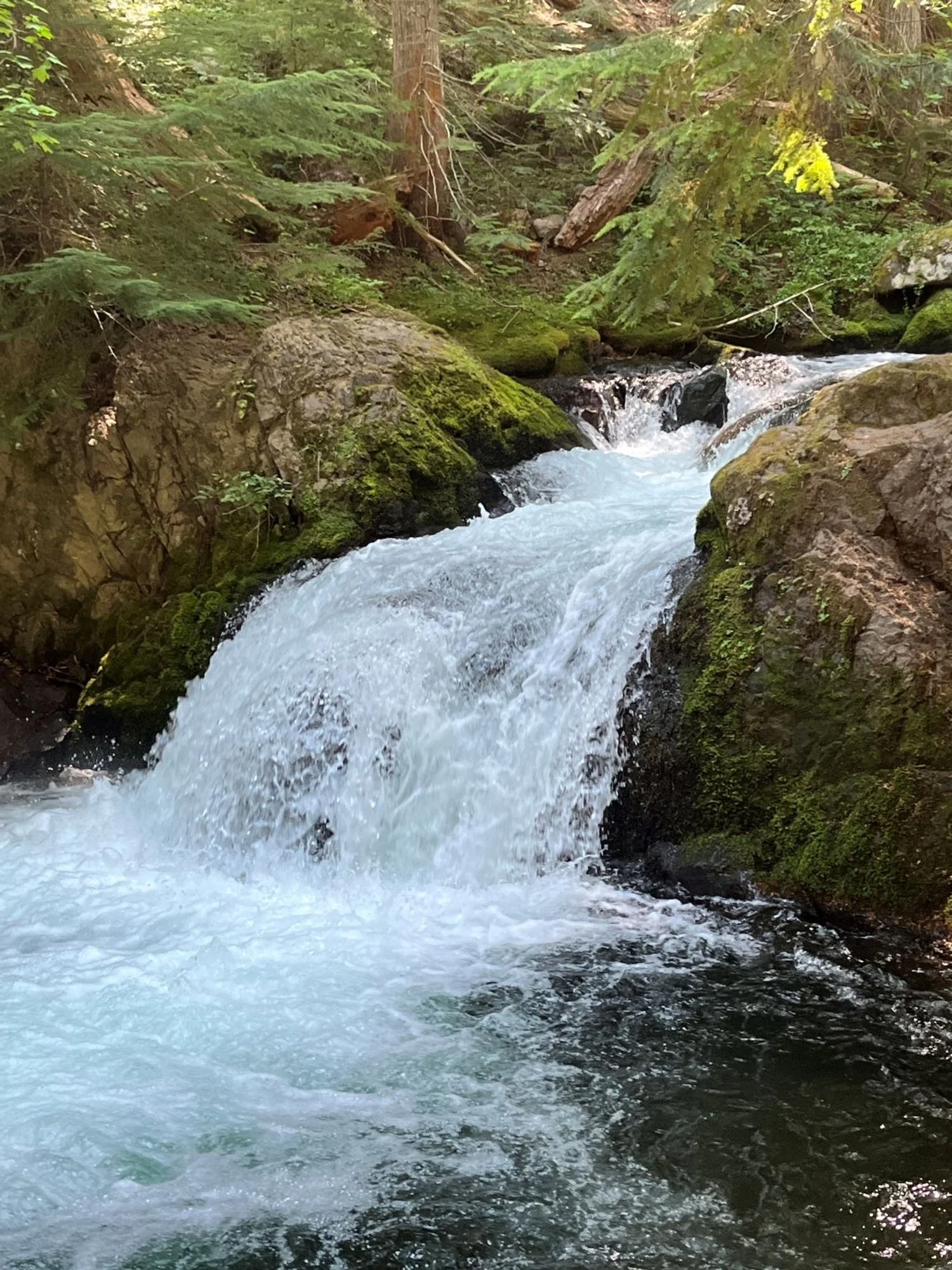
Cold Spring Creek
A healthy western white pine
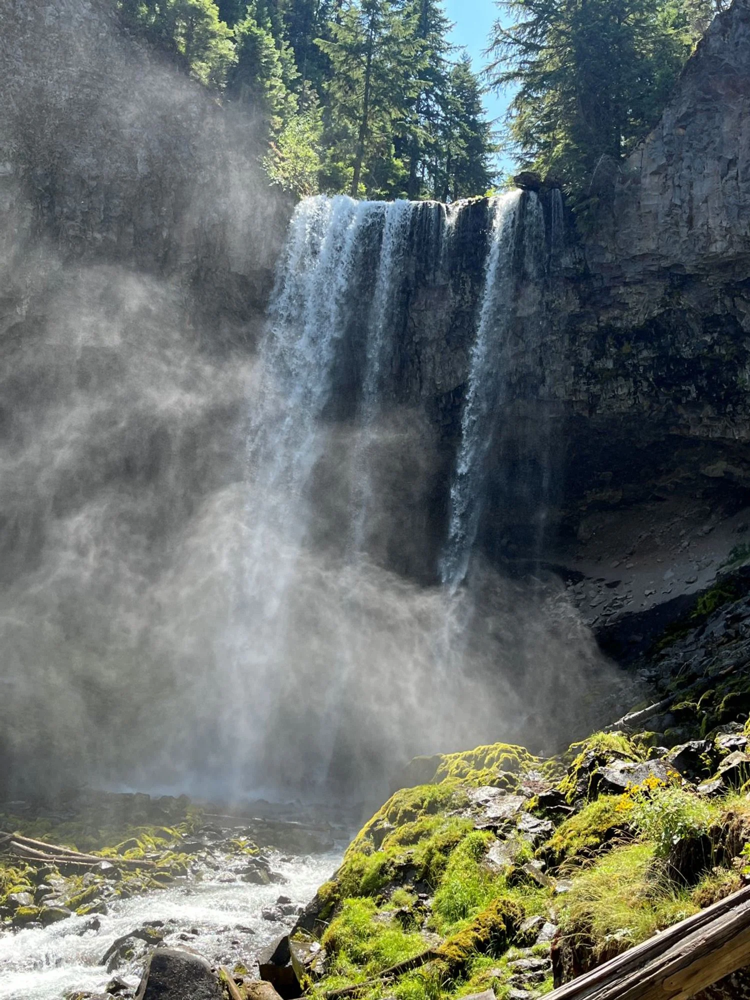
Tamanawas Falls
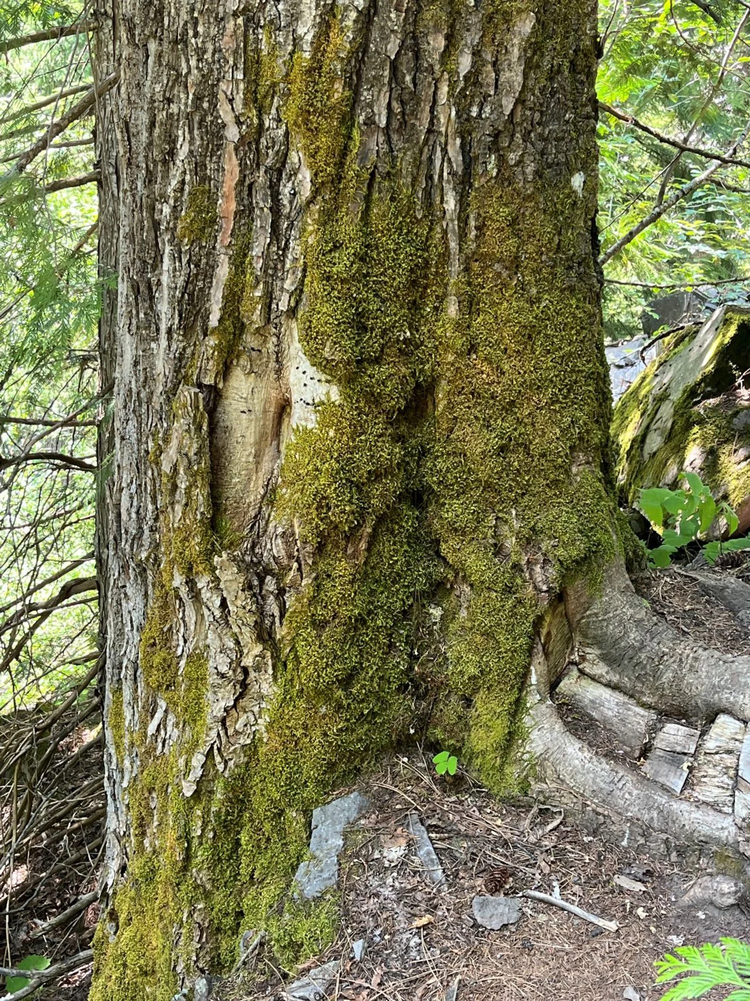
Mossy black cottonwood
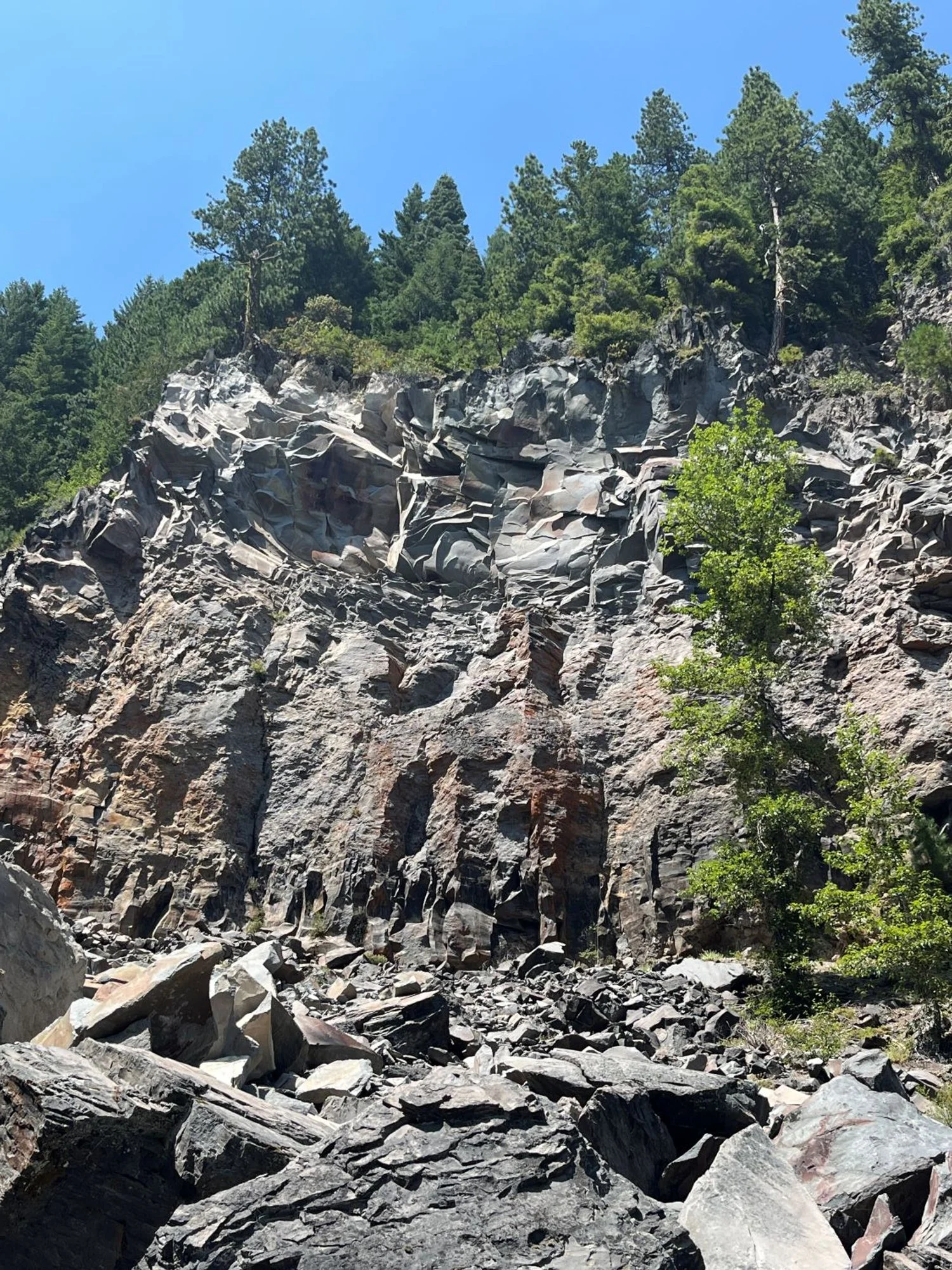
Rock falls over the trail