25. West Gumjuwac

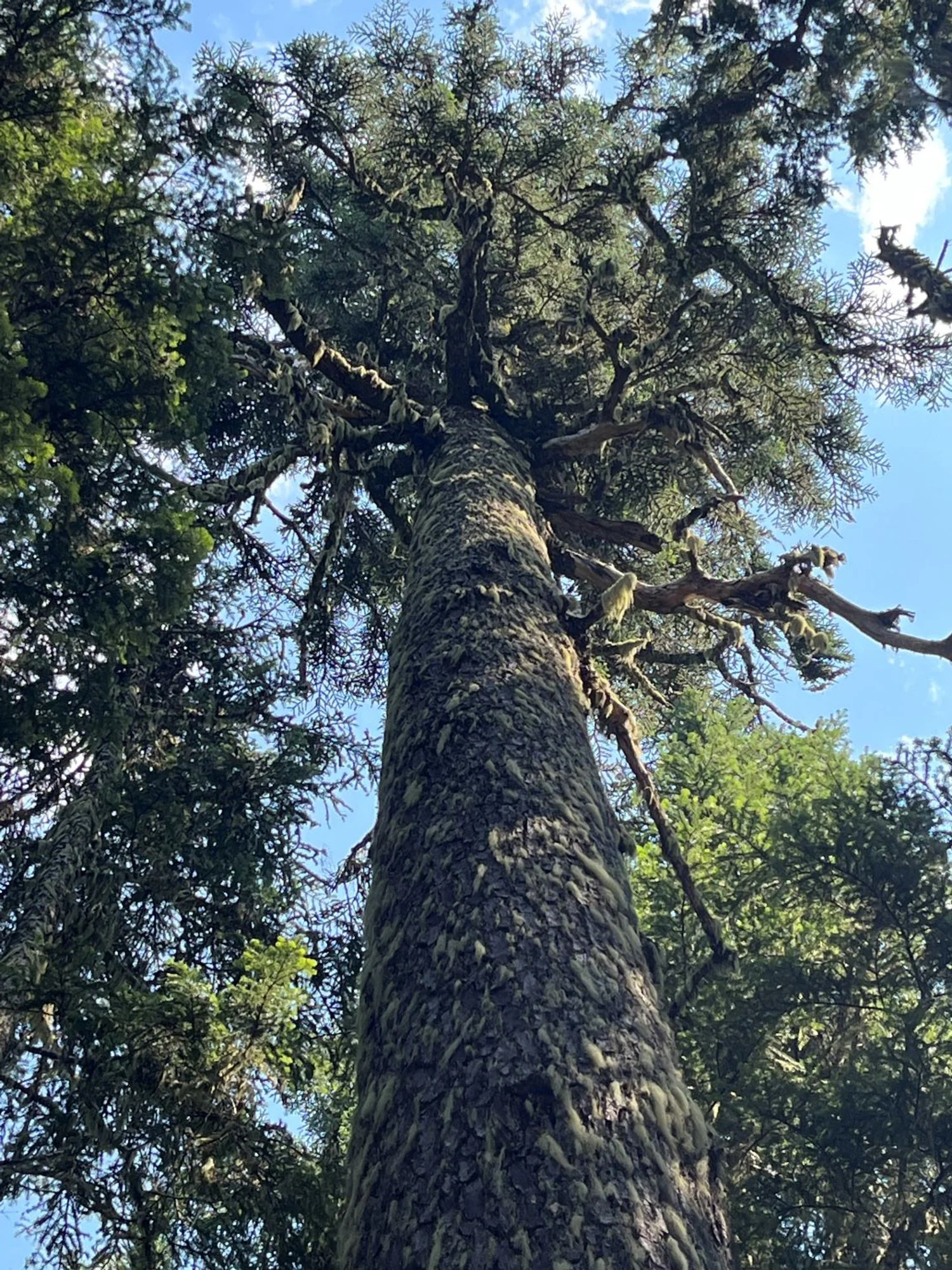
Western redcedar and Douglas-fir

Orange-barked ponderosa pine

Mt. Hood
Blue-hued noble fir
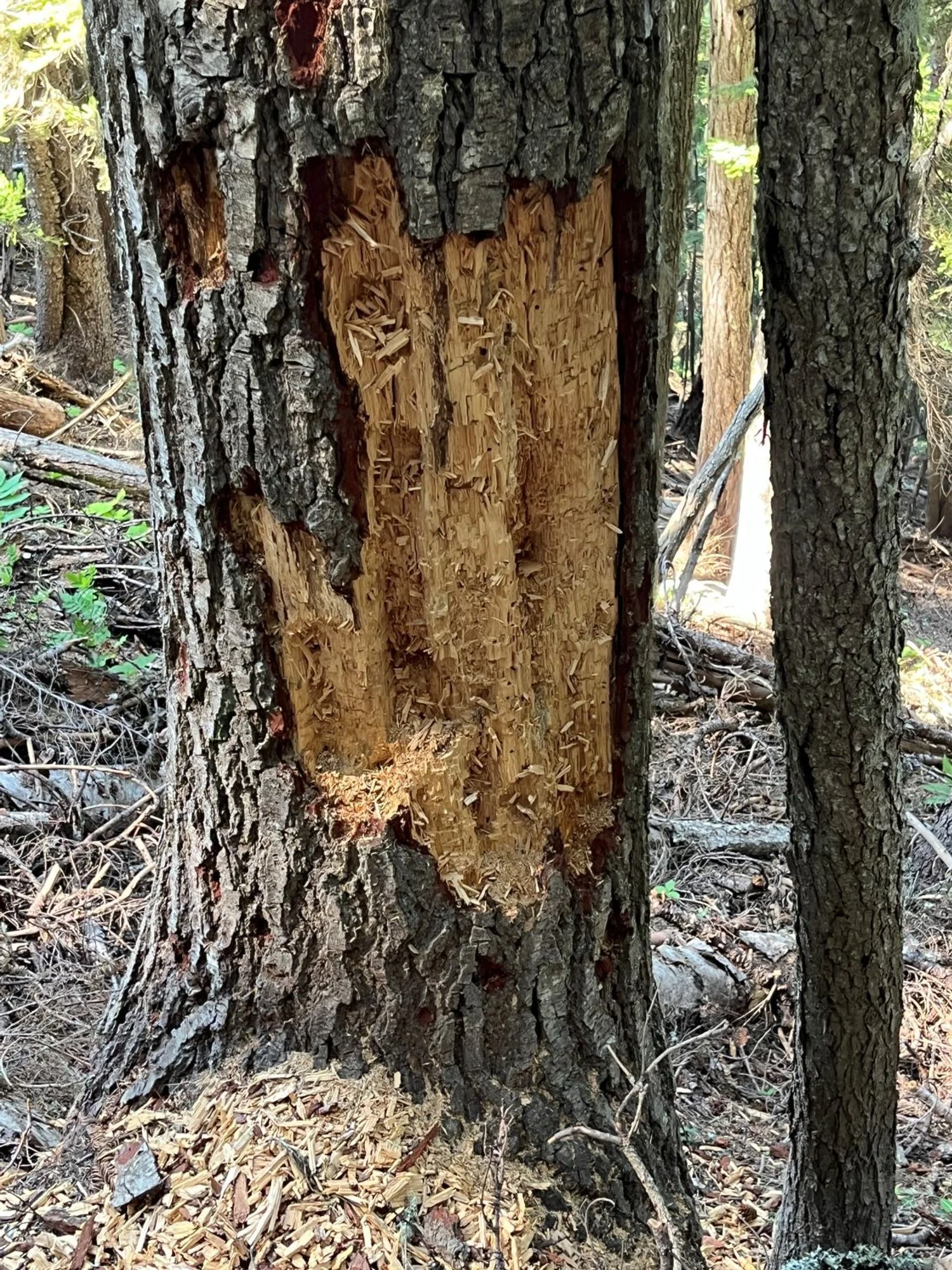
Bear live here

Mountain hemlock

Western larch