32. Twin Lakes Loop

Old noble fir and Douglas-fir

Lower Twin Lake

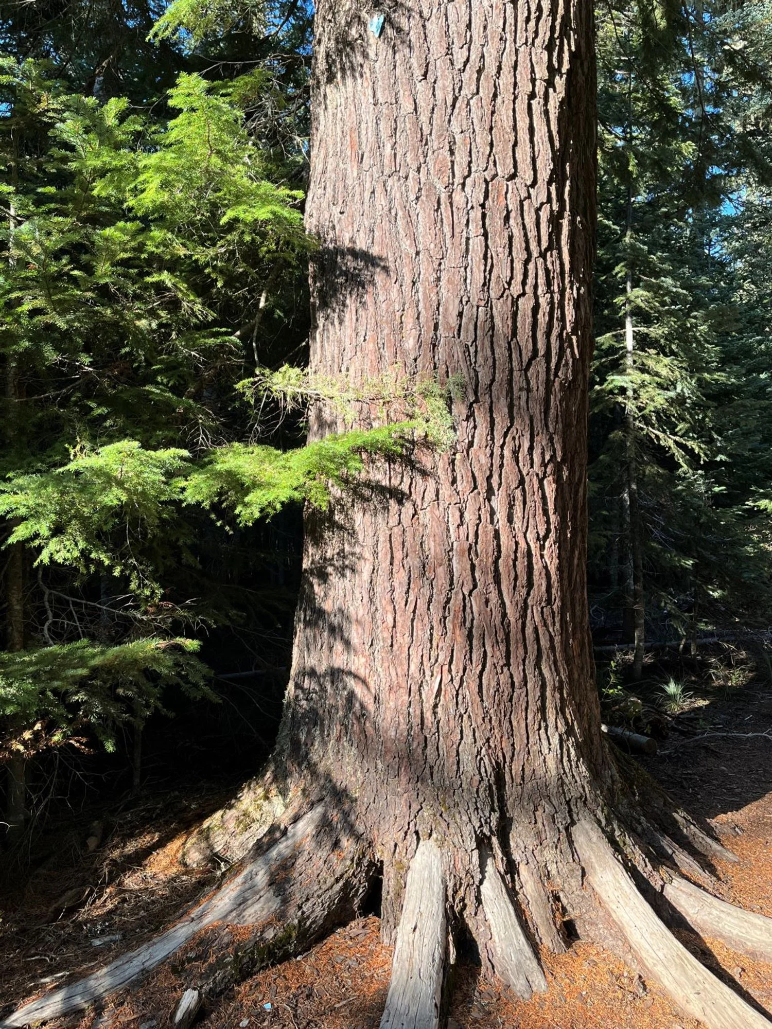
Large noble fir

Mt. Hood from Palmeteer Point
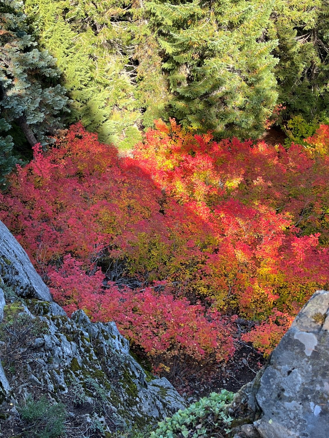
Vine maples in the fall
Western hemlock

Barlow Butte

Noble fir and Douglas-fir