21 - Waterfalls Loop
Koosah Falls
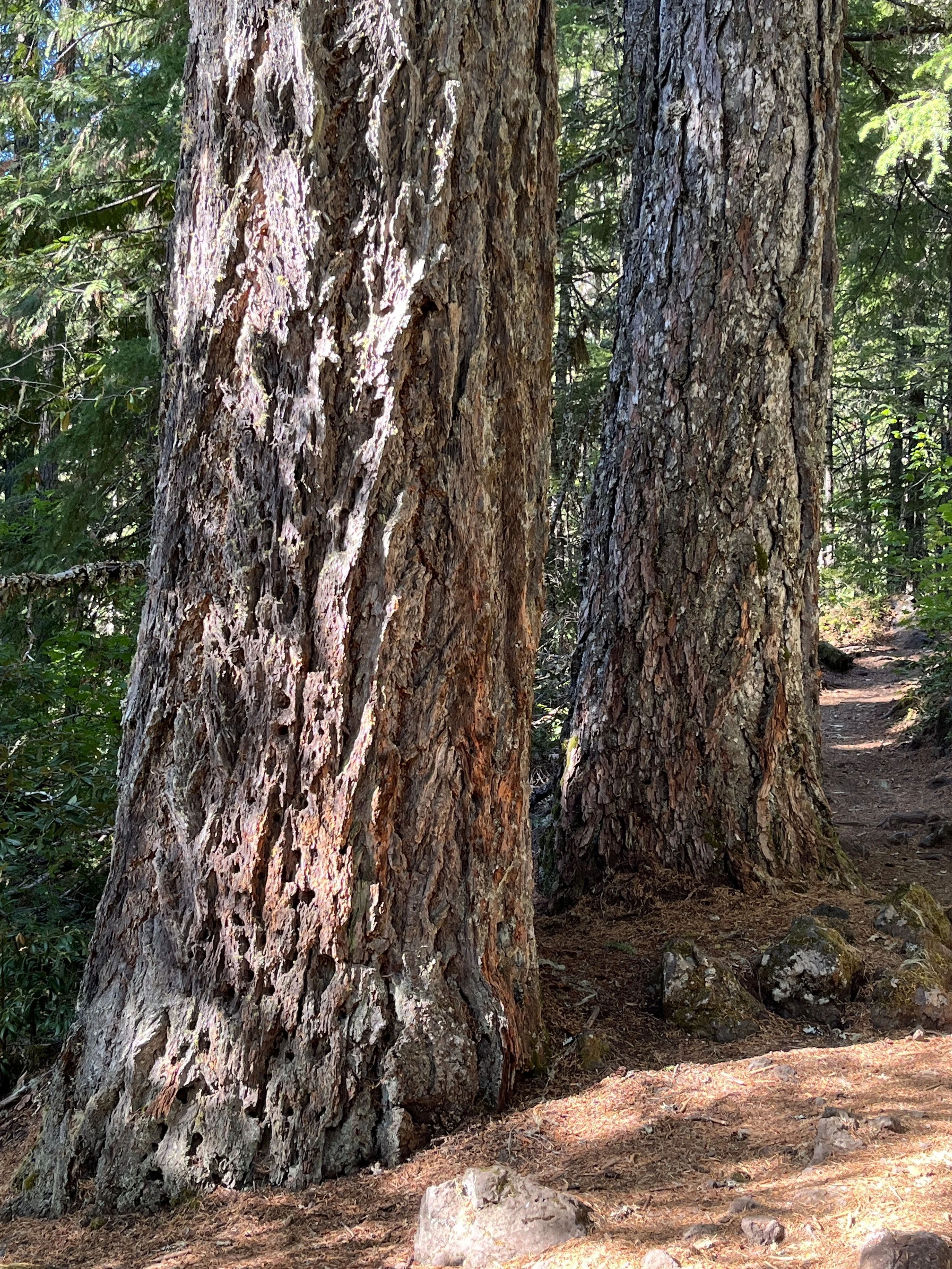
Trailside Douglas-fir
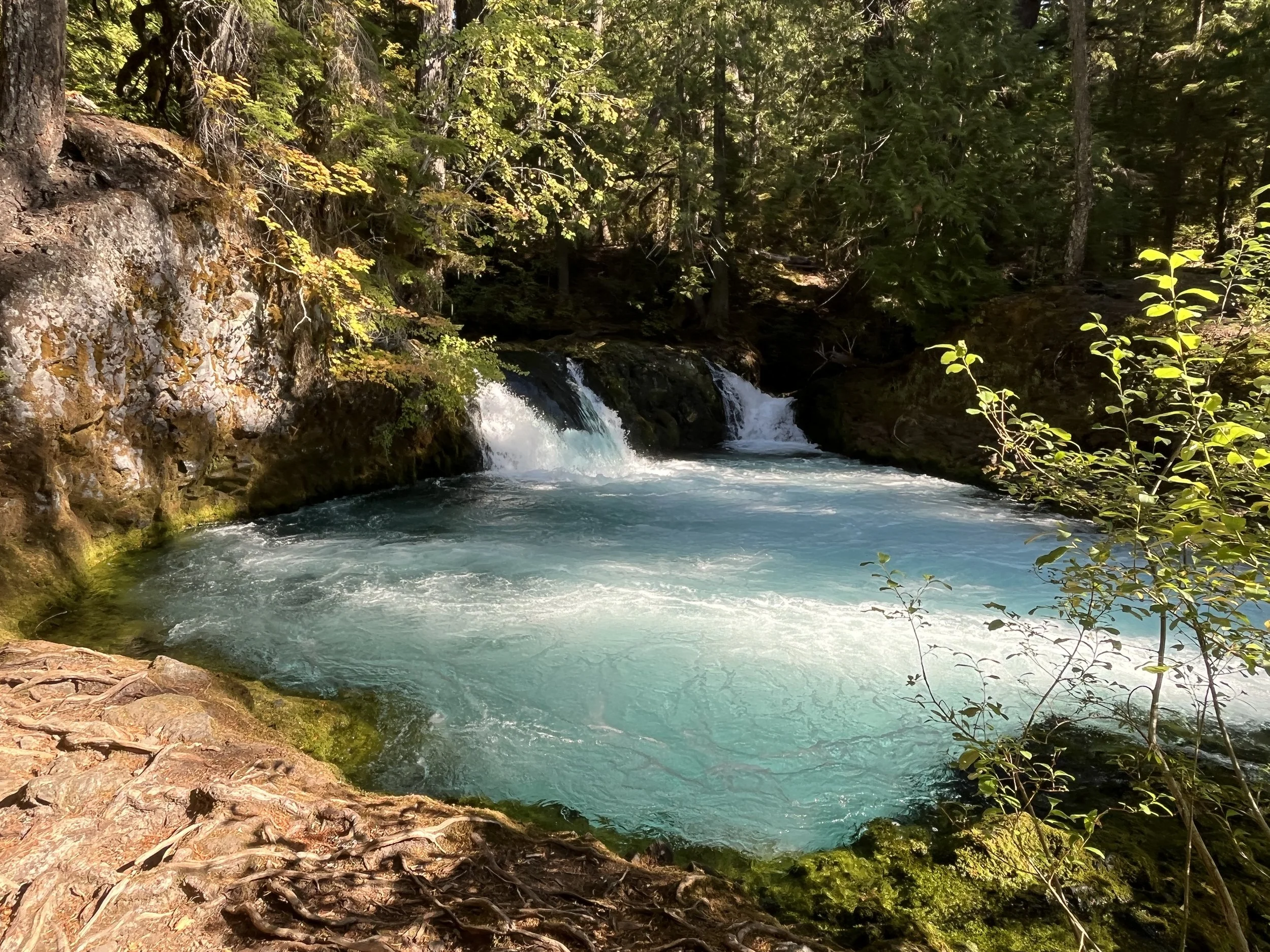
Picnic pool
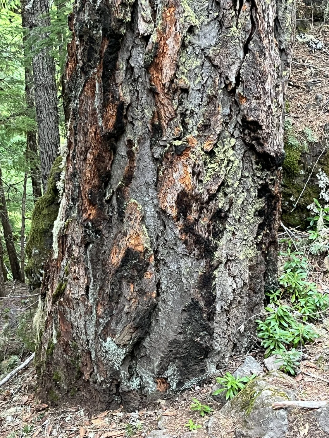
Fire-scorched fir

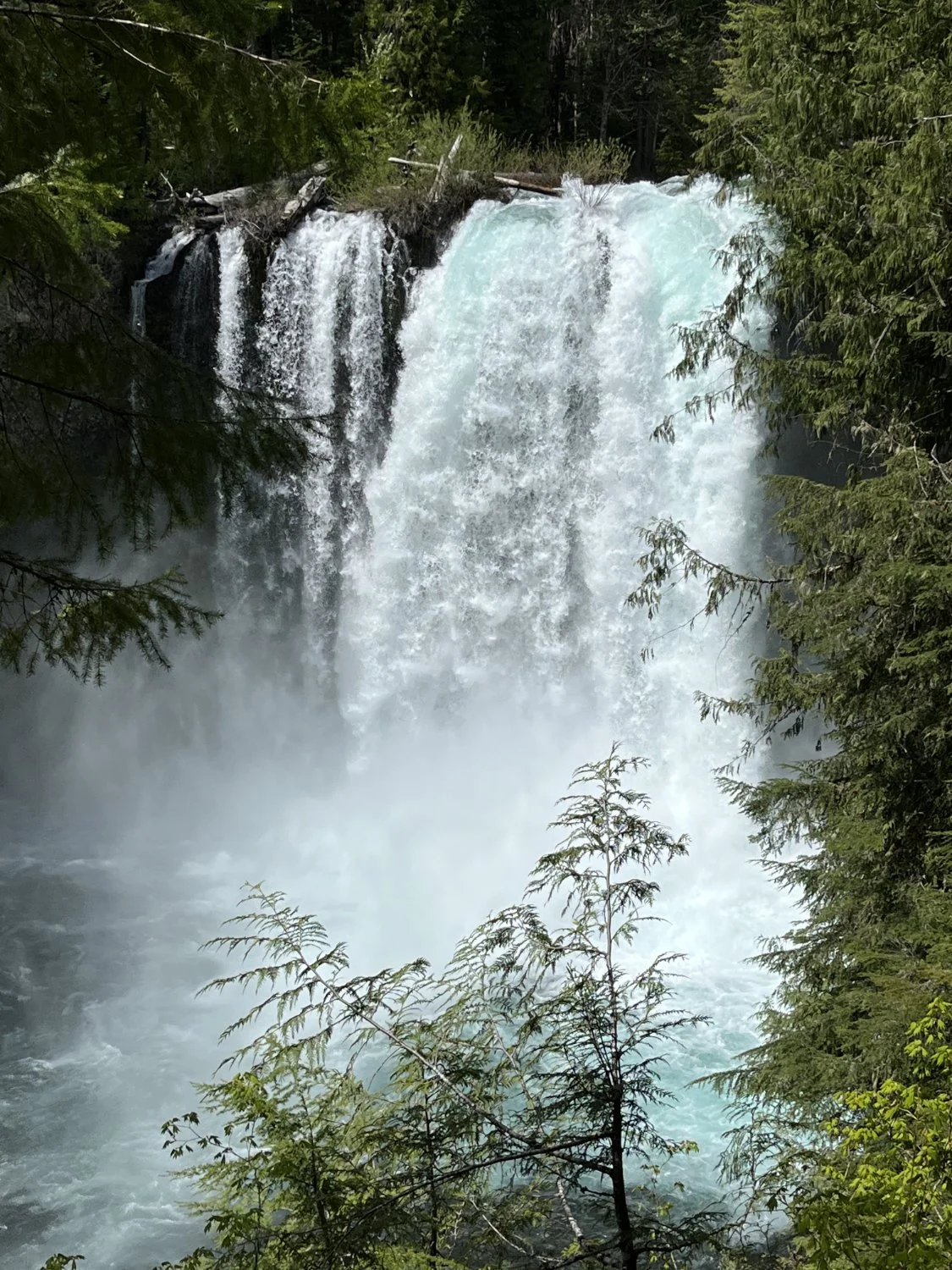
Sahalie Falls
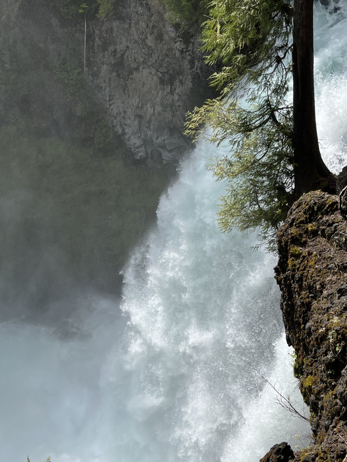
Sahalie Falls
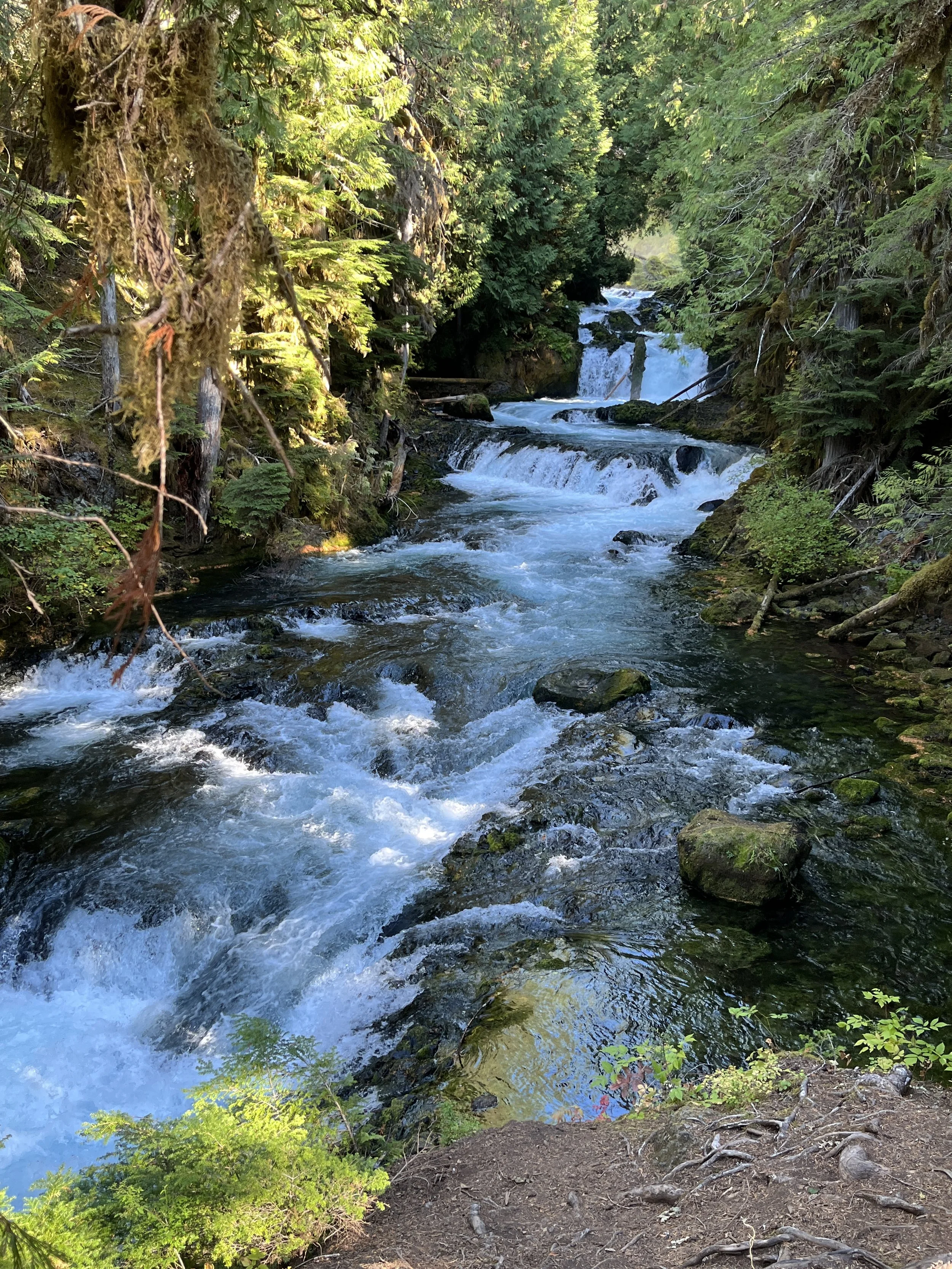
Rushing river
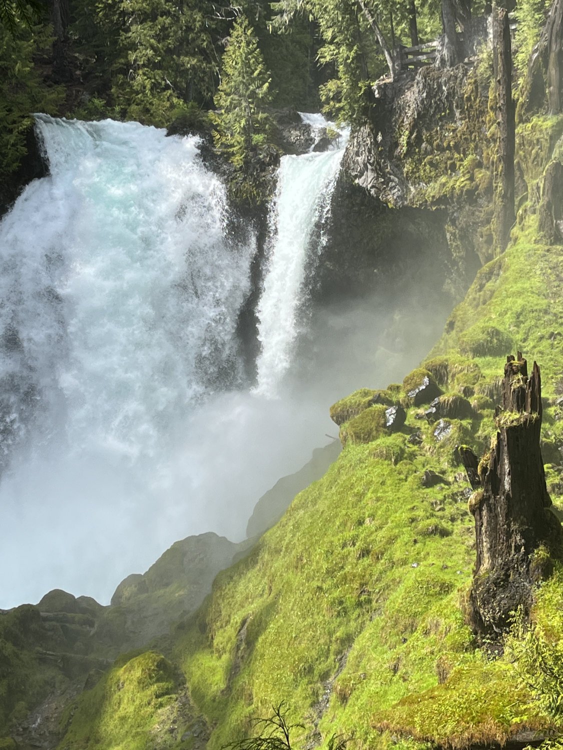
Sahalie Falls