22 - Tamolitch Pool (Blue Pool)

McKenzie River

Wall of fir
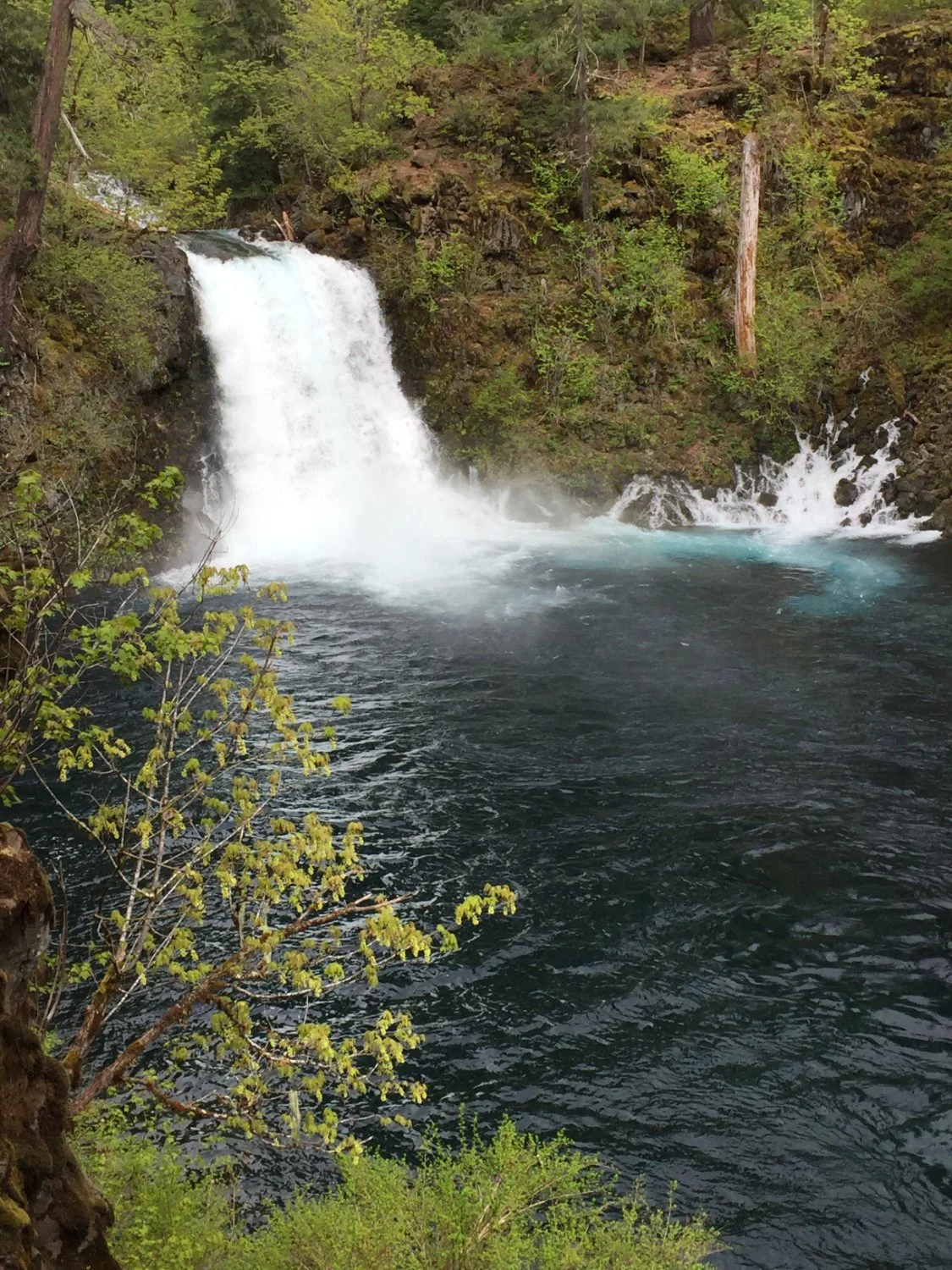
Tamolitch Falls

Big Douglas-fir

Incense cedar

Incense cedar