23 - Tidbits Mountain

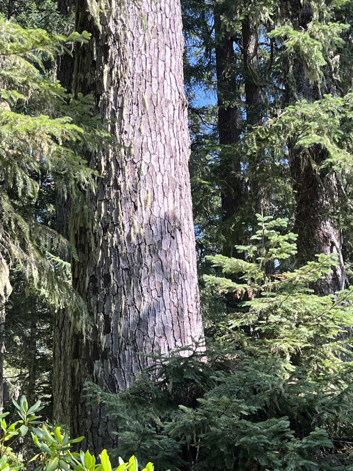
Classic Douglas-fir old growth
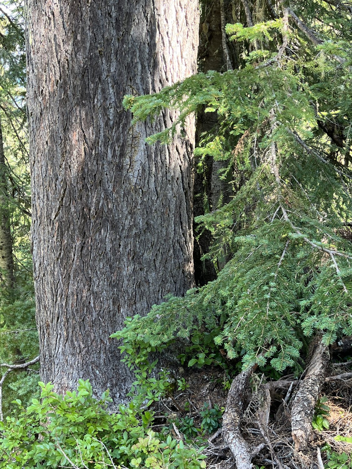
Noble fir

Noble fir
Mountain hemlock
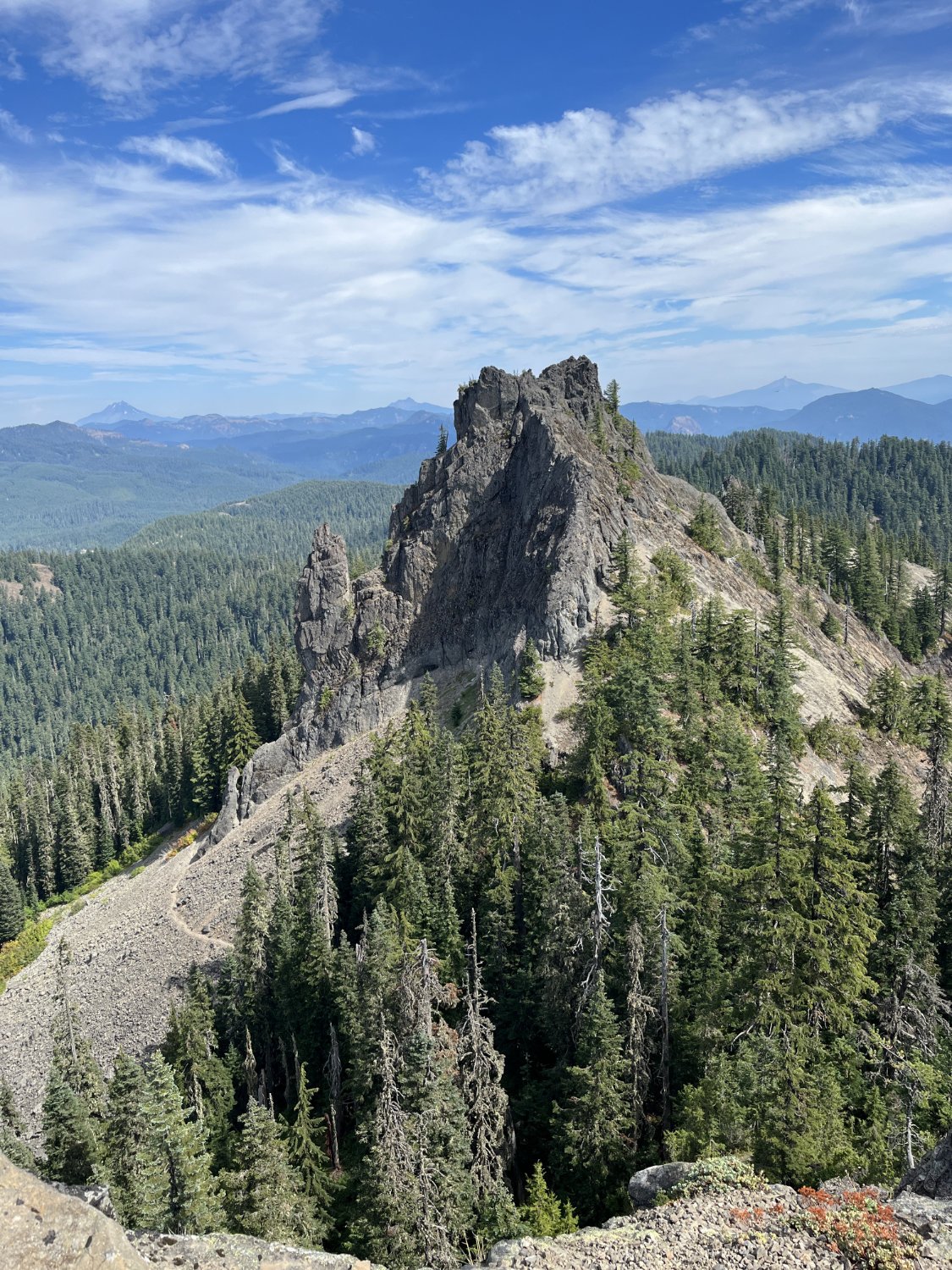
Tidbits Mt