24 - Lookout Creek

Beginning of Lookout Fire, from Carpenter Mountain Lookout, August 2023. Credit Rob Mutch , Ecosystem Photo

Douglas-fir & western redcedar pre-fire

A thick-barked survivor
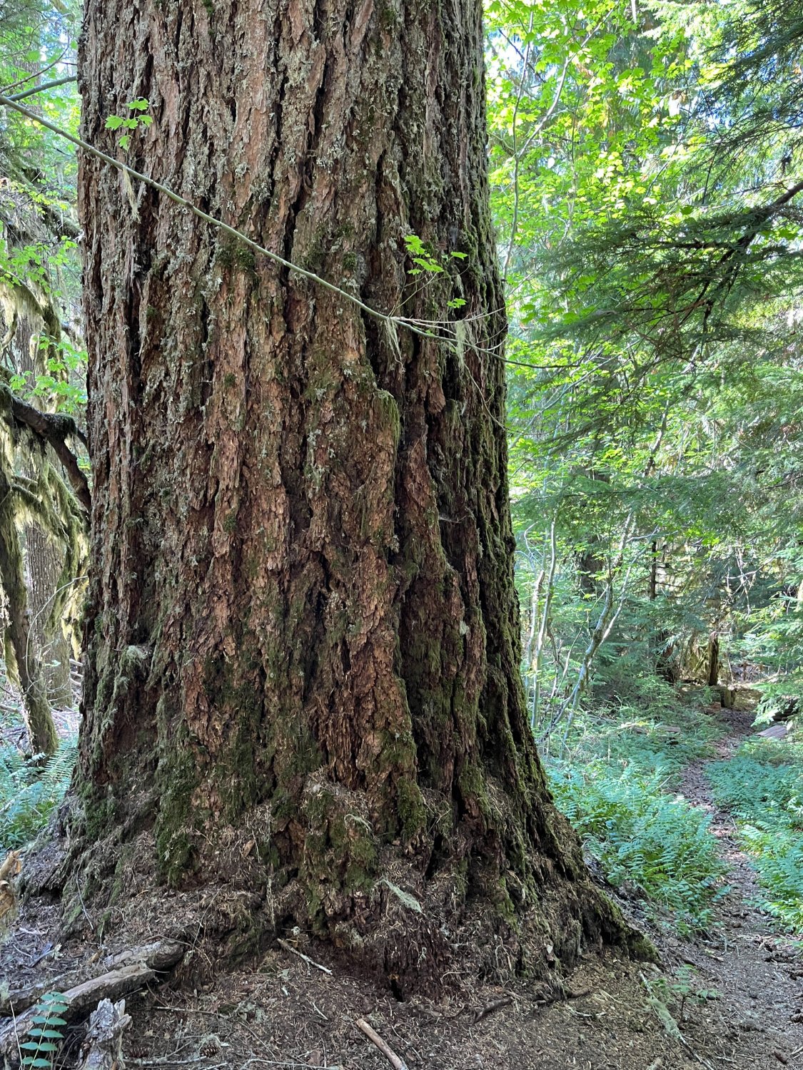
Big Douglas-fir before the fire

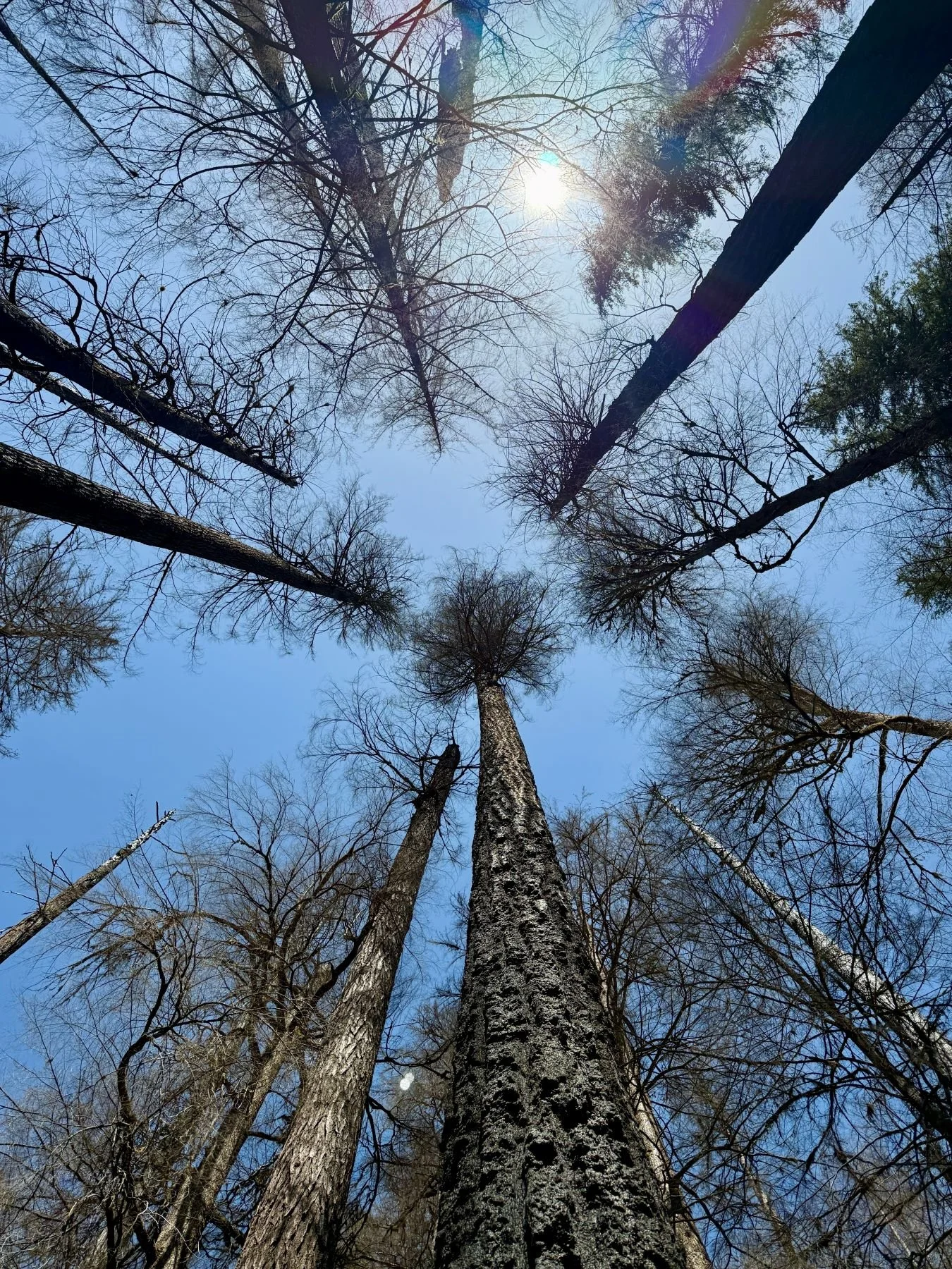
Jim wonders why this giant didn't make it

Western hemlock pre-fire

Western hemlock skeleton

Western redcedar pre-fire

Too hot to survive in this location
High fire severity

Death by root damage
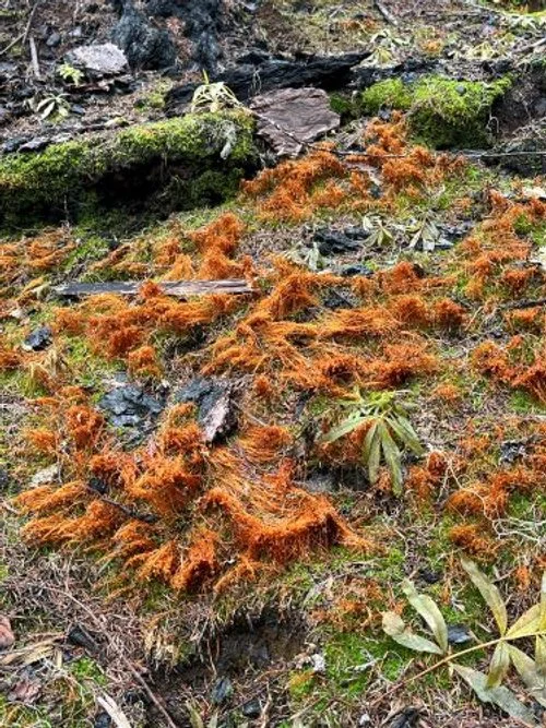
Fire moss
Surviving western hemlock
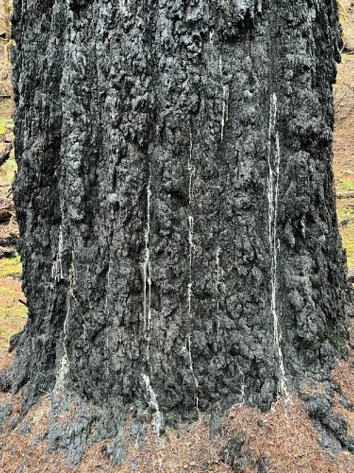
Weeping Douglas-fir
Where has the organic layer gone?

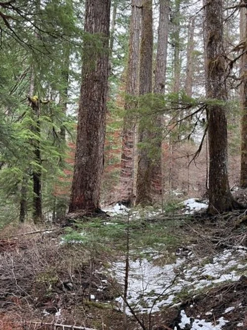
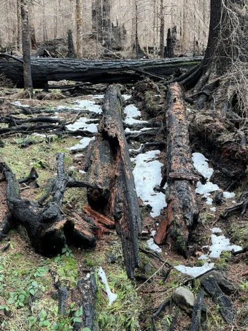
Accumulating down wood
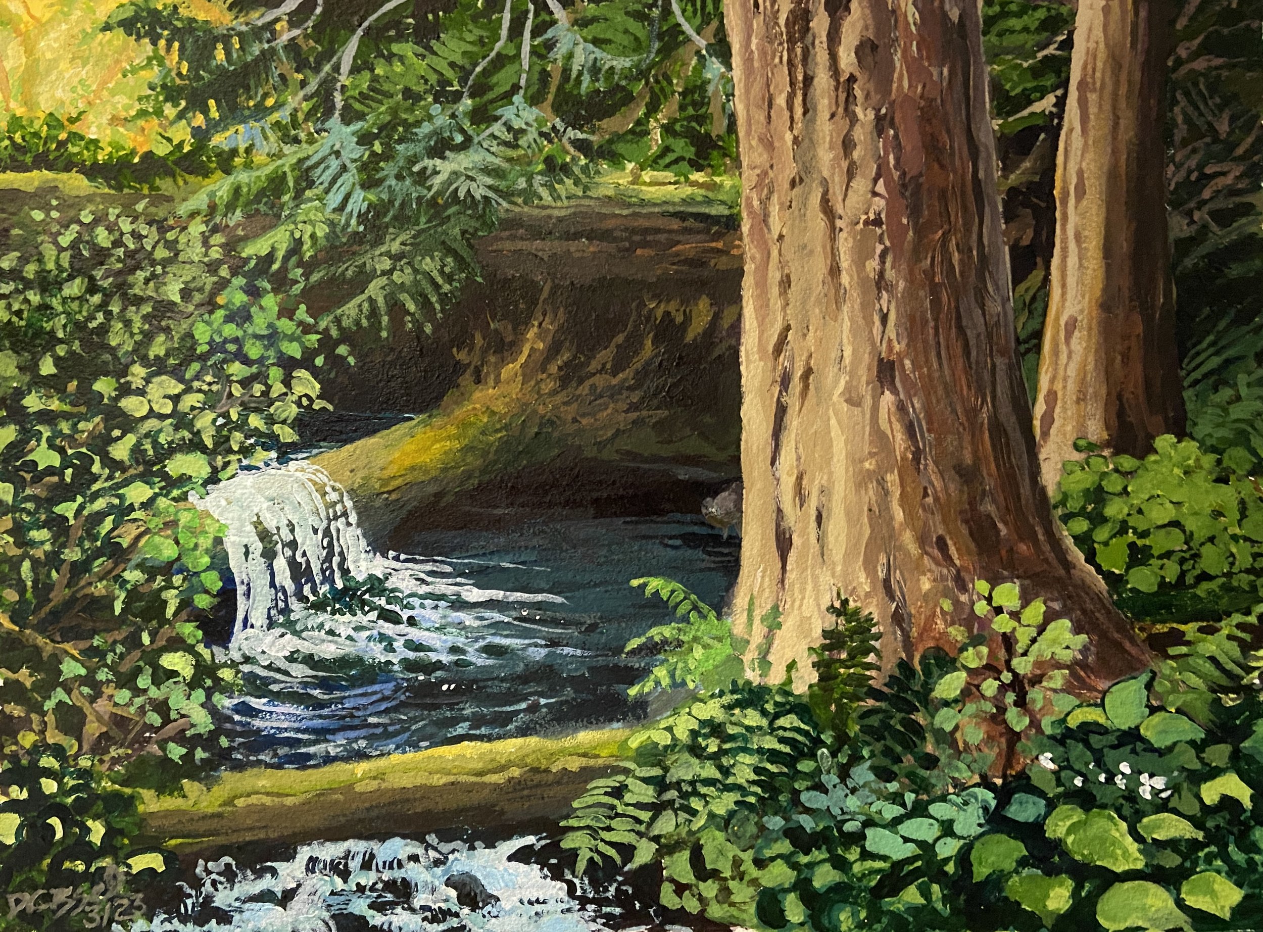
Lookout Creek, Acrylic on watercolor paper, 2023 Diane Cissel