52 - Middle McKenzie River Trail
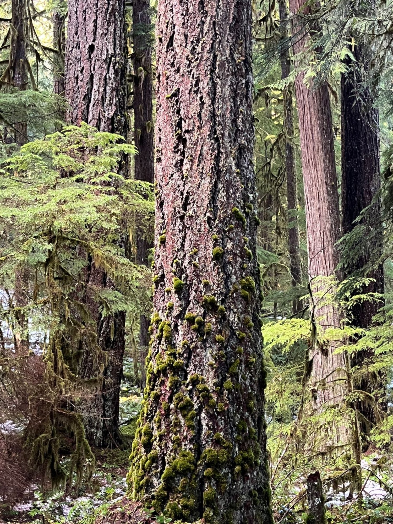
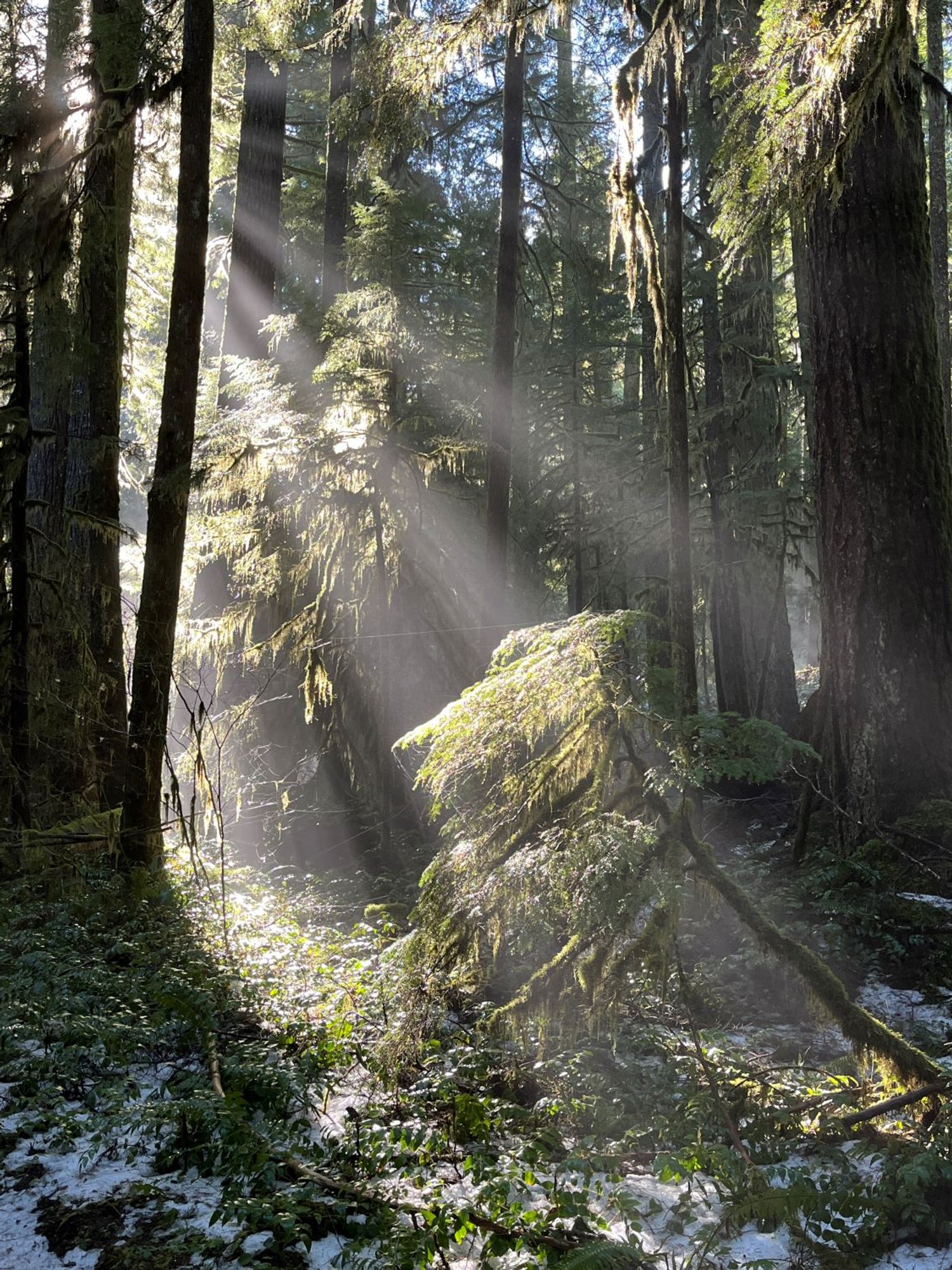
Douglas-fir old growth

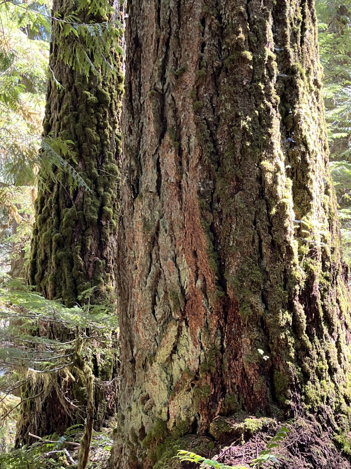
Riparian old growth
Big Douglas-firs
Hungry bear art

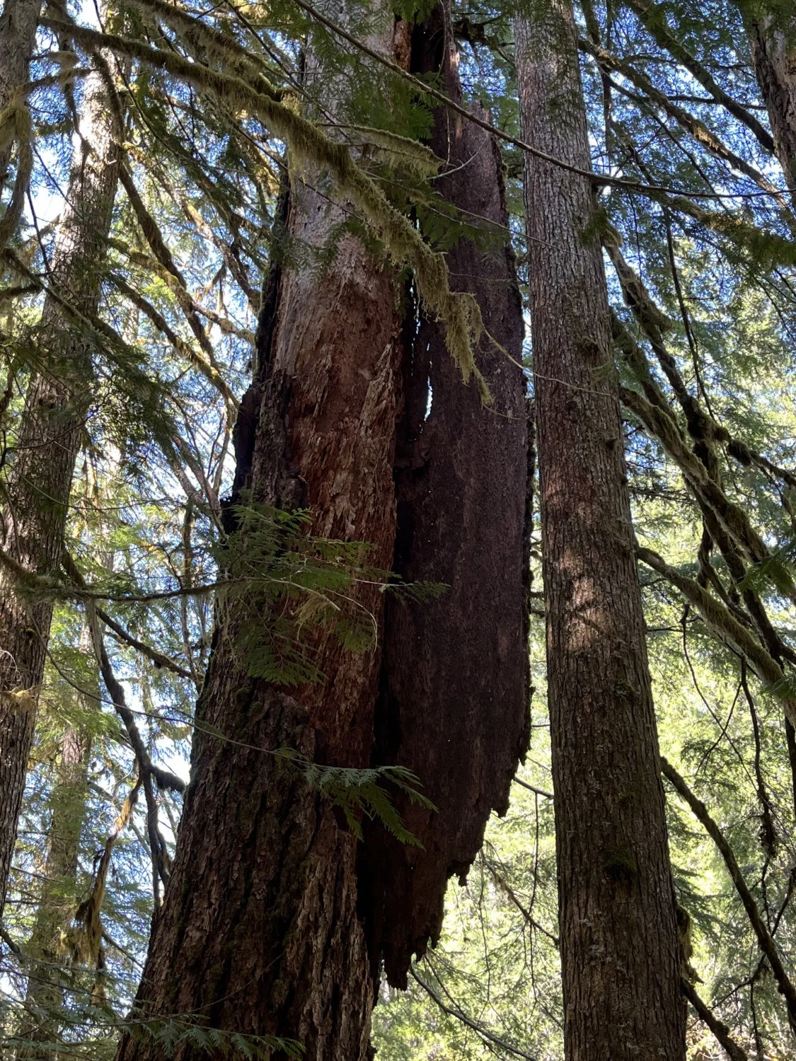
Aerial log suspension
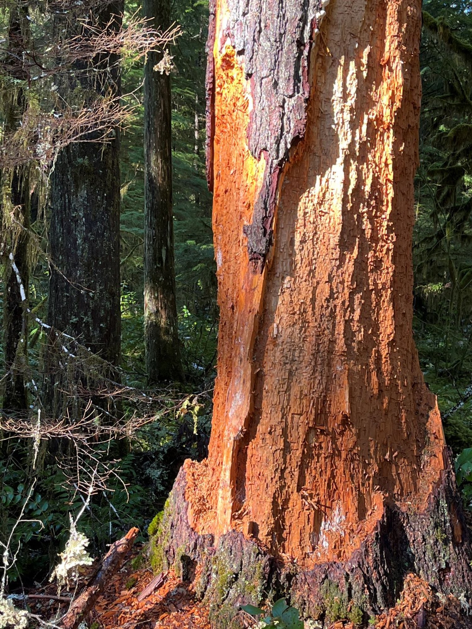
Huge slab of bark
Awaiting rematerialization
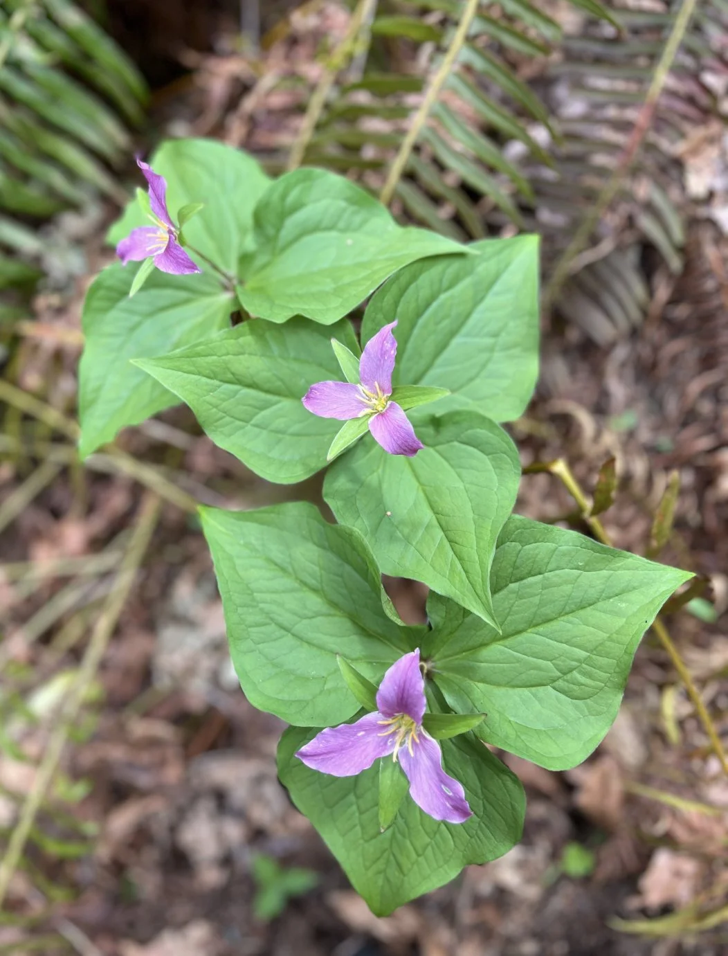
Trillium in triplicate
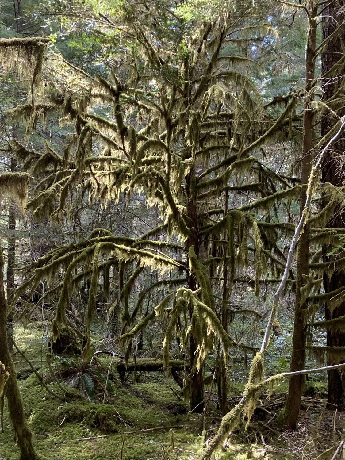
Moss-draped Pacific yew