51: King-Castle Trail
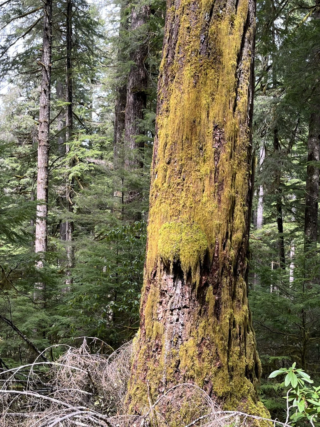
Mossy fir
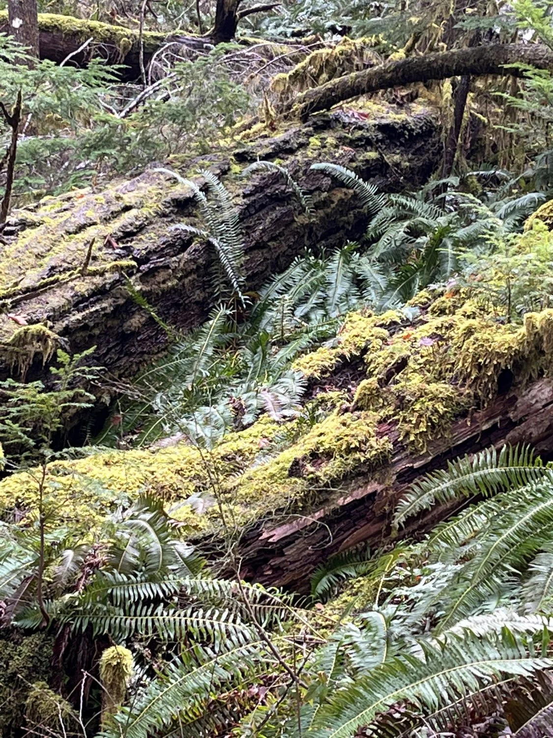
Big down wood
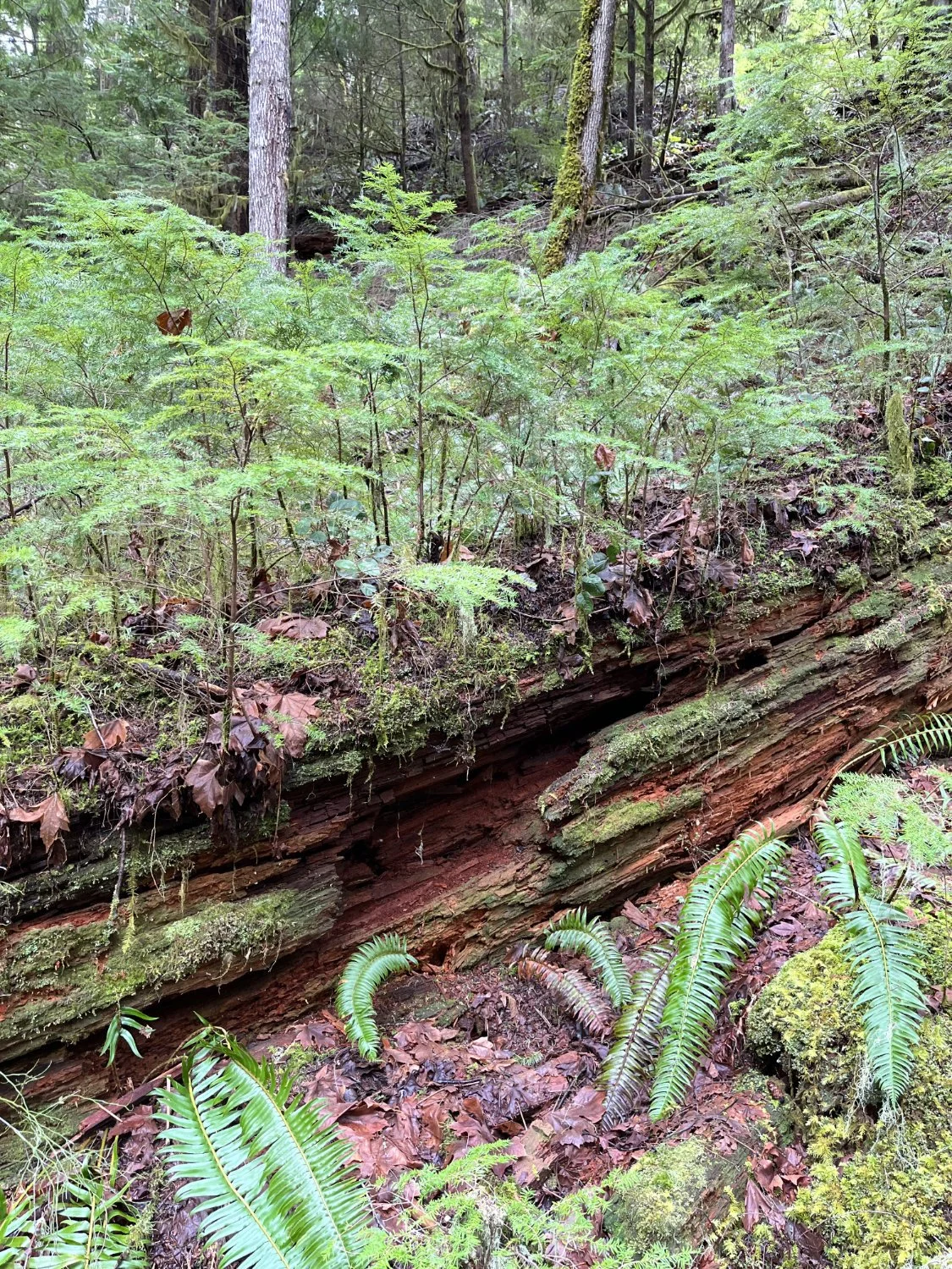
Nurse log
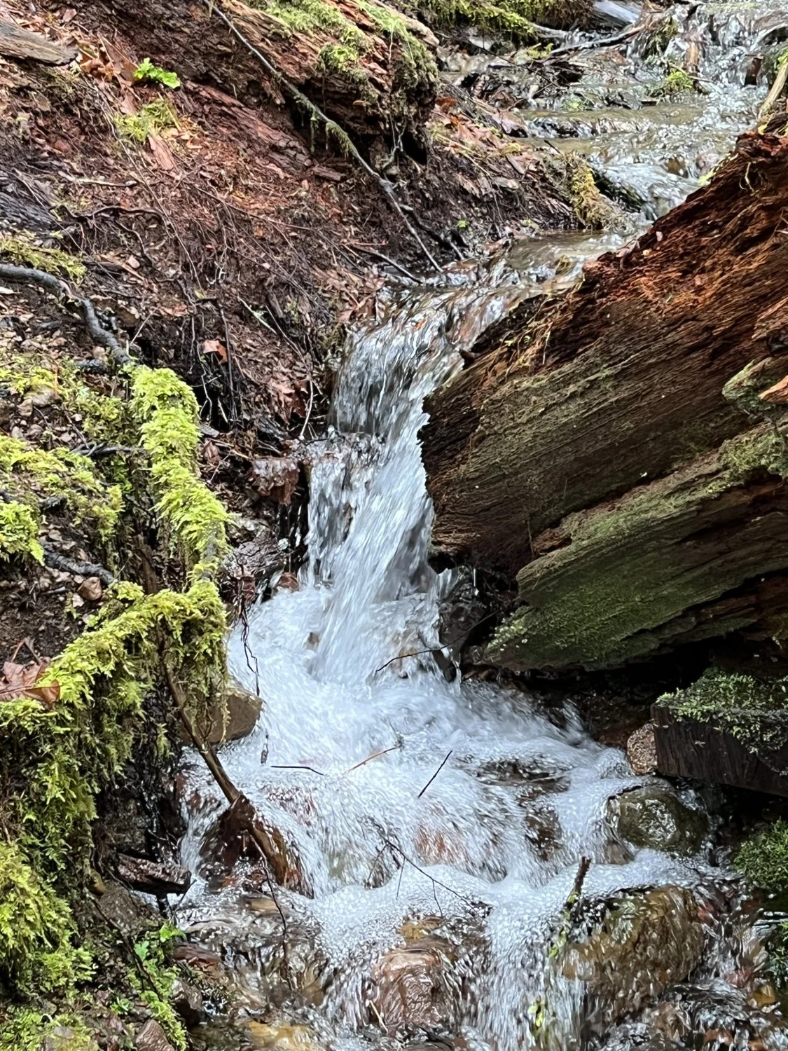
Trailside tributary
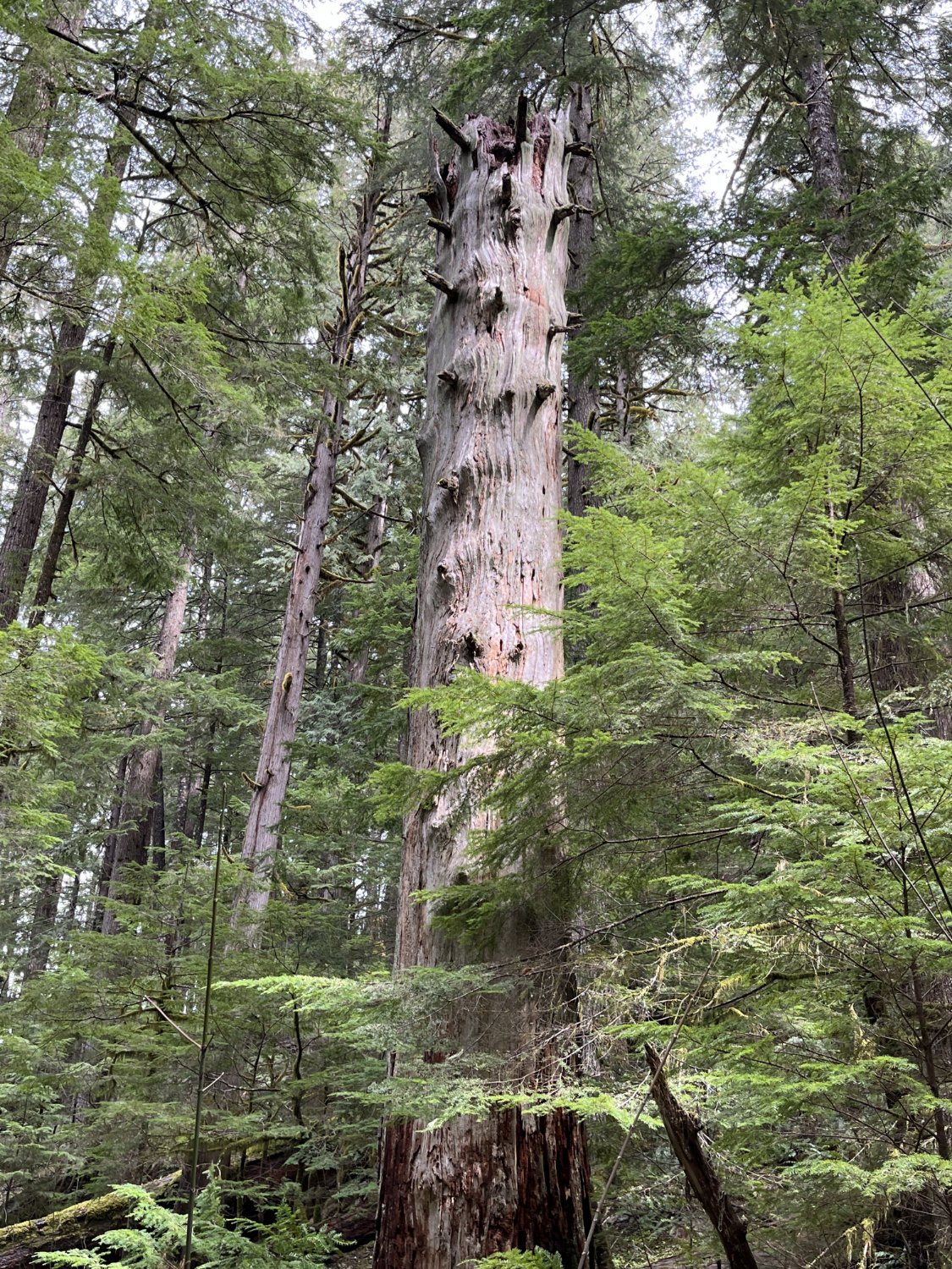
Pileated woodpecker home
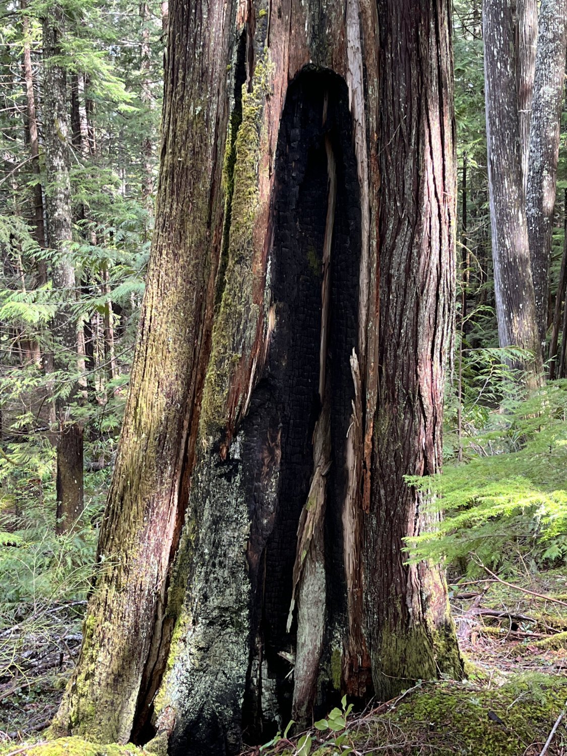
Fire-scarred redcedar

Sap lines

Holiday Farm Fire (2020) origin

Three Sisters from the top
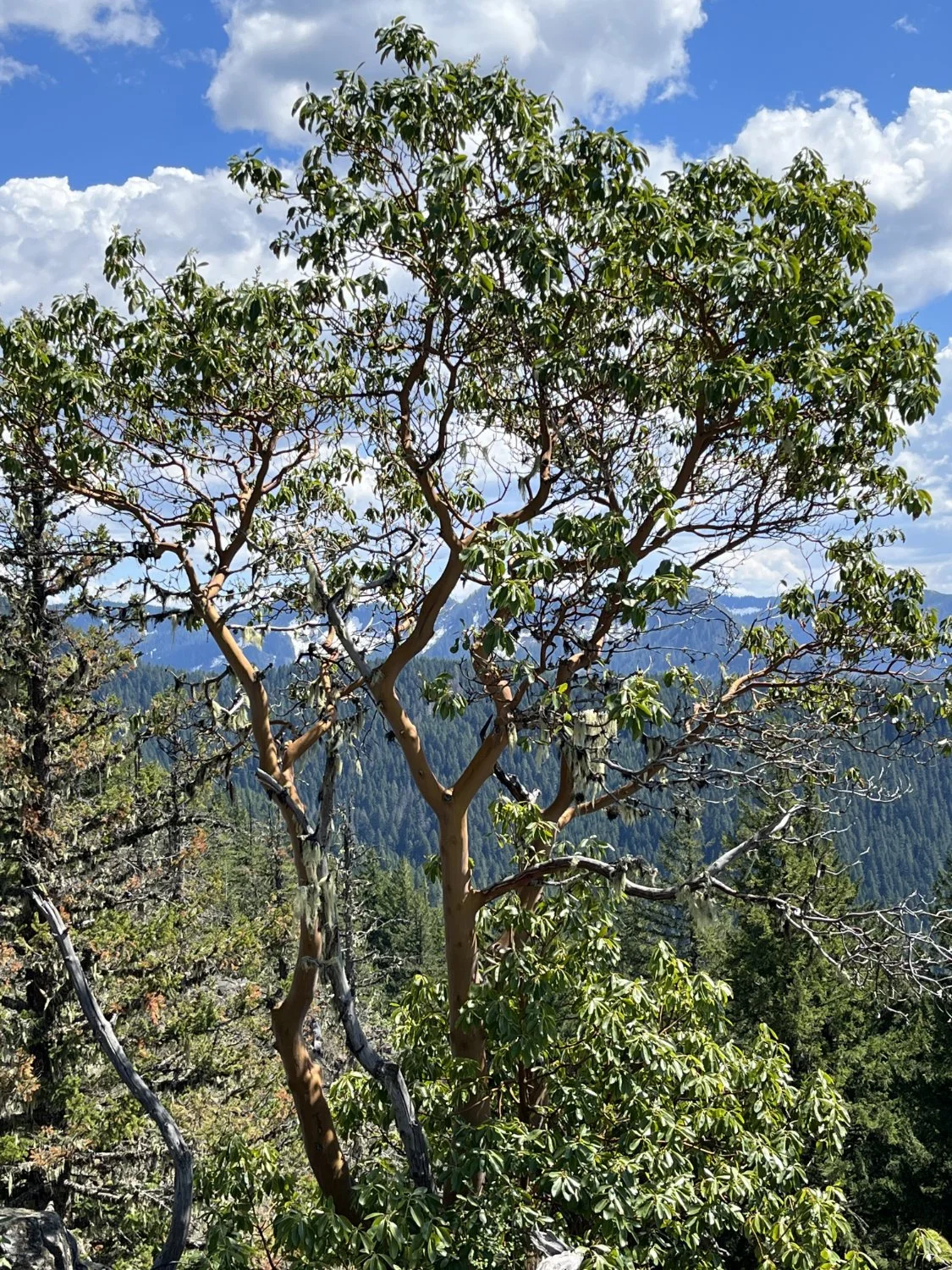
Madrone in front of Sawtooth Ridge