27 - French Pete Creek

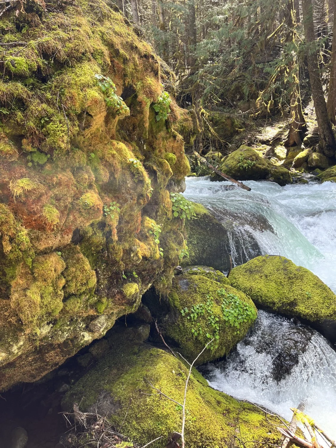
Unburned floodplain patch

French Pete Creek, low flow
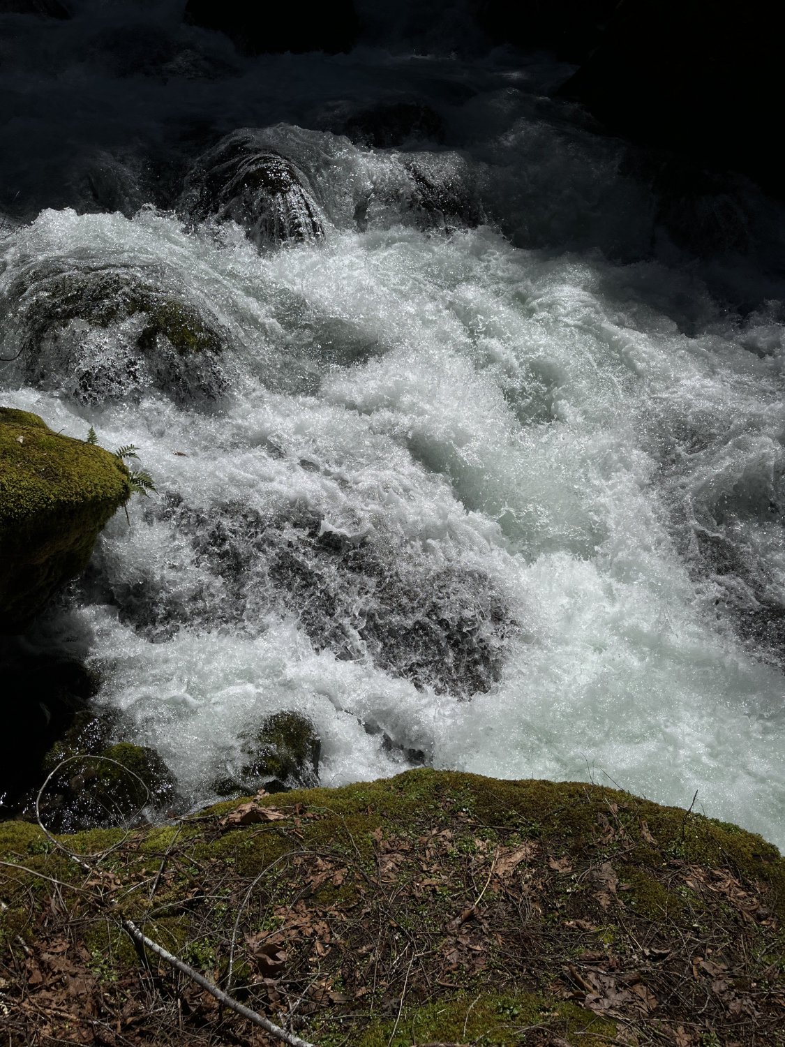
French Pete Creek, high flow
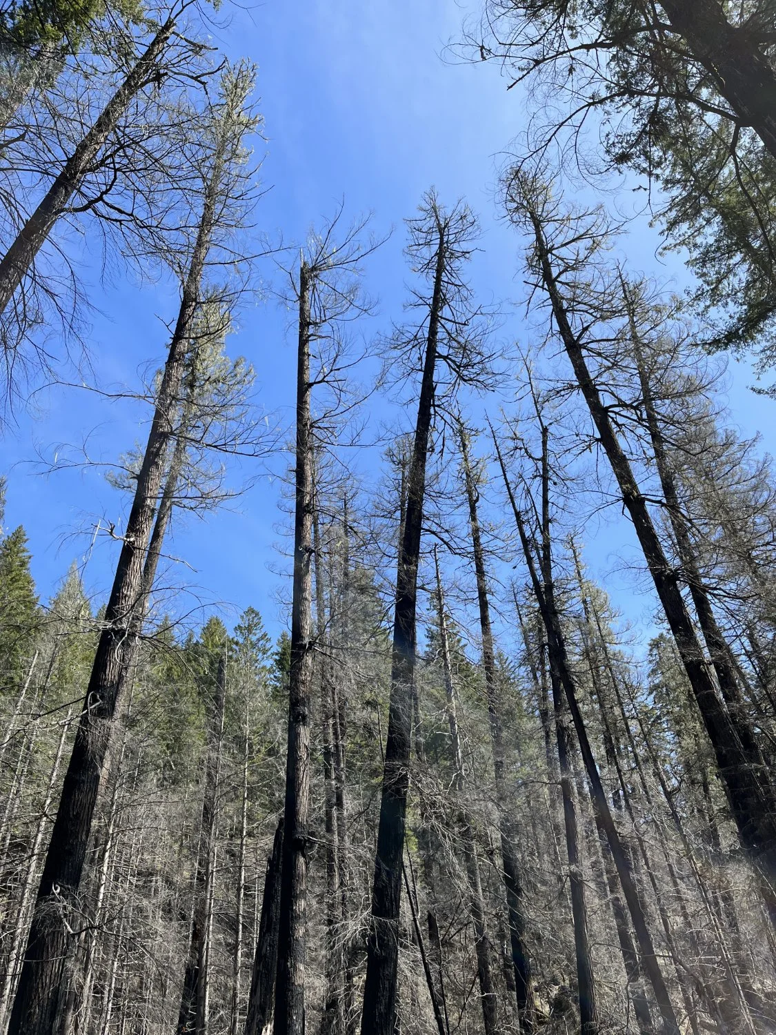
Overstory mortality
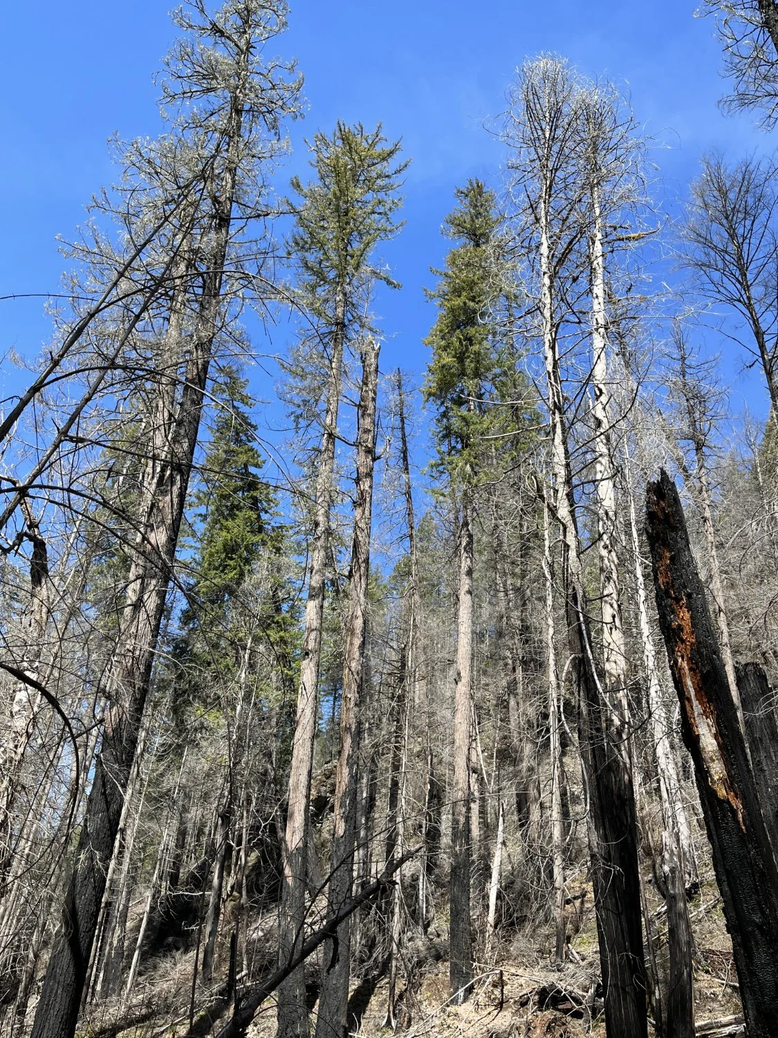
Mixed mortality
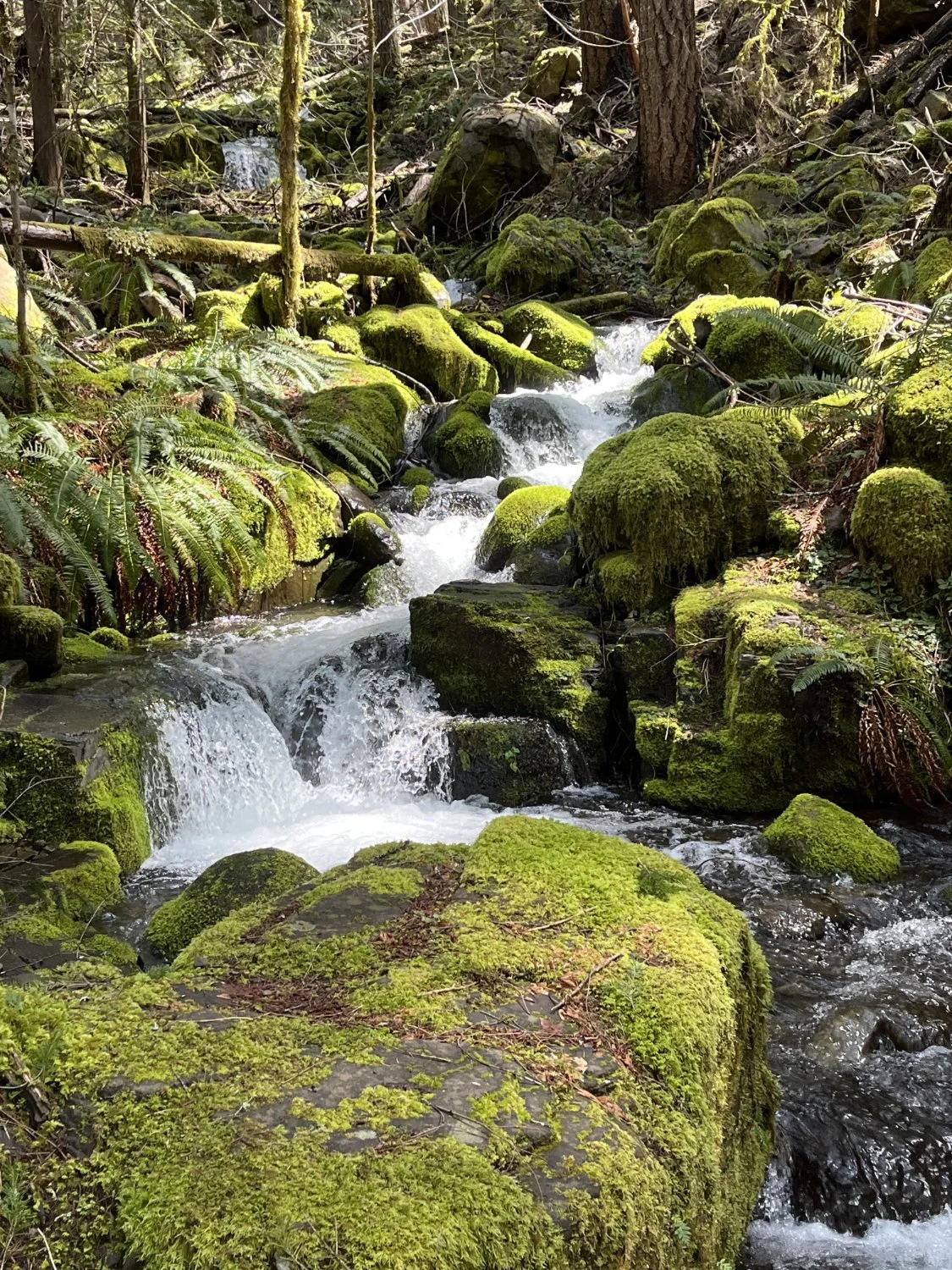
Tributary stream
French Pete Creek
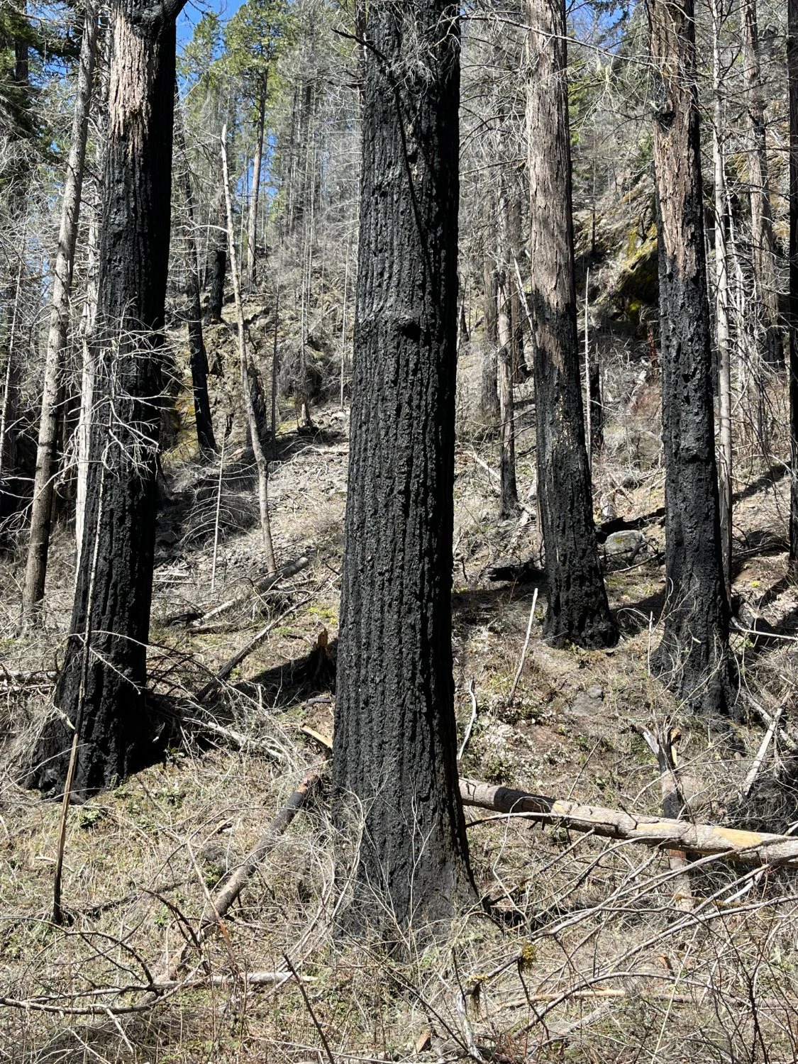
Scorched and dead
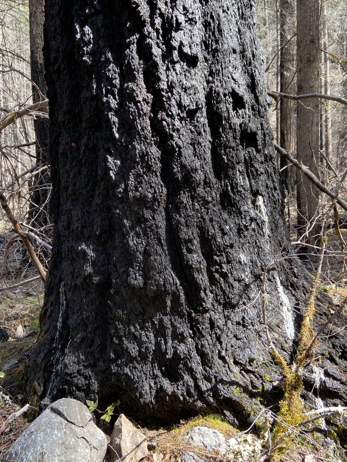
Scorched and alive