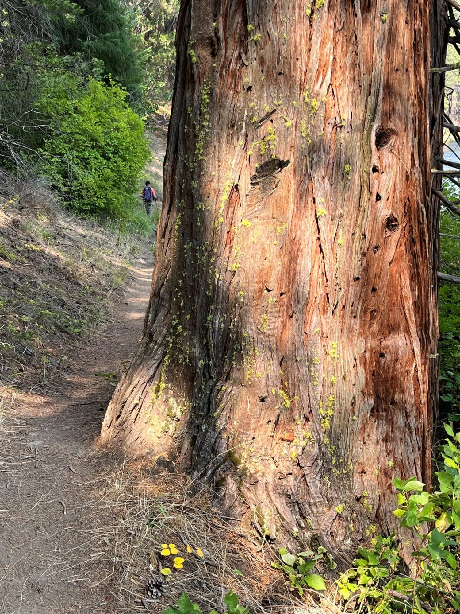
62. Metolius River Lower Bridge
Summary
Length 1 ¼ mile one way
Difficulty Easy
Season Spring to autumn
Elevation range 2,690 feet – 2,720 feet
Human imprint Low (hikers, anglers, campground)
Information Deschutes National Forest (Sisters Ranger District)
Primary old growth features
Beautiful, riverside ponderosa pine.
Description
The northernmost segment of the West Metolius Trail downstream from Lower Bridge offers the best opportunity for old-growth hikers in search of a little solitude along the river. This short, shoreline stroll is less populated than other trail segments in the area, but features the same gorgeous forest as trails closer to other attractions along the Metolius. Note that the trail is restricted to foot-use only, and the world-renowned river and fishery is restricted to fly-fishing only.
From Lower Bridge, head downstream on the West Metolius Trail (4018) 1 ¼ miles to Candle Creek Campground, and return the way you came. The trail rolls along the river through exemplary old ponderosa pine, incense-cedar, and Douglas-fir. Views across the river spotlight riverside groves of blazing-orange ponderosa pine, and occasional fly-fishing anglers searching for the perfect spot.
Energetic hikers following the Metolius River Loop (Hike 63) can conveniently add this short hike on as a side trip halfway through the loop. If your timing is right, you may glimpse the annual autumnal return of bright orange kokanee salmon. Kokanee salmon, a landlocked variety of sockeye salmon, migrate upstream from Lake Billy Chinook to spawn in the Metolius, turning from silver to orange during the journey.
30 years of change
Very little change.
How to get there
From U.S. Highway 20, turn north onto Camp Sherman Road approximately 10 miles west of Sisters (10 miles east of Santiam Pass). Veer right onto FR 14 at a junction 2 ½ miles from the highway, and follow FR 14 for an additional 10 ½ miles to Lower Bridge (13 miles from Highway 22). Park on the left just before Lower Bridge.

Pines across the Metolius
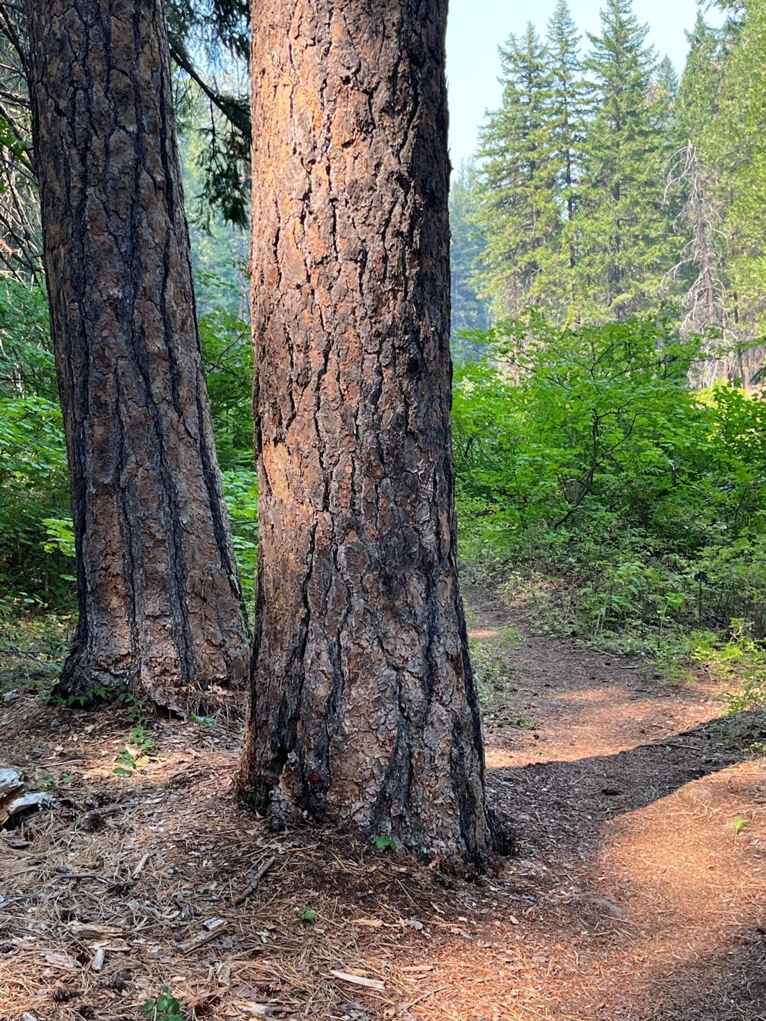
Trailside pines
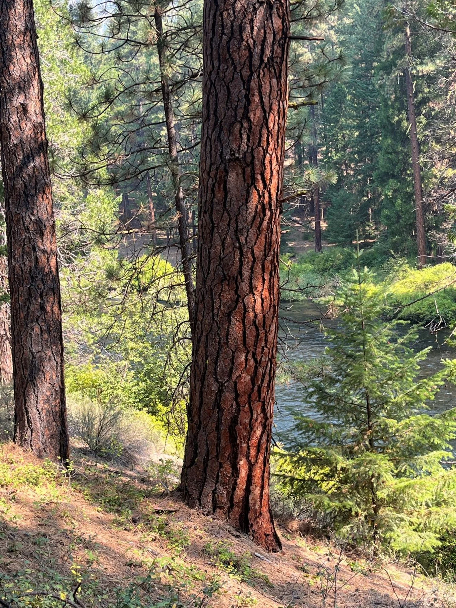
Riverside pines

Old incense cedar
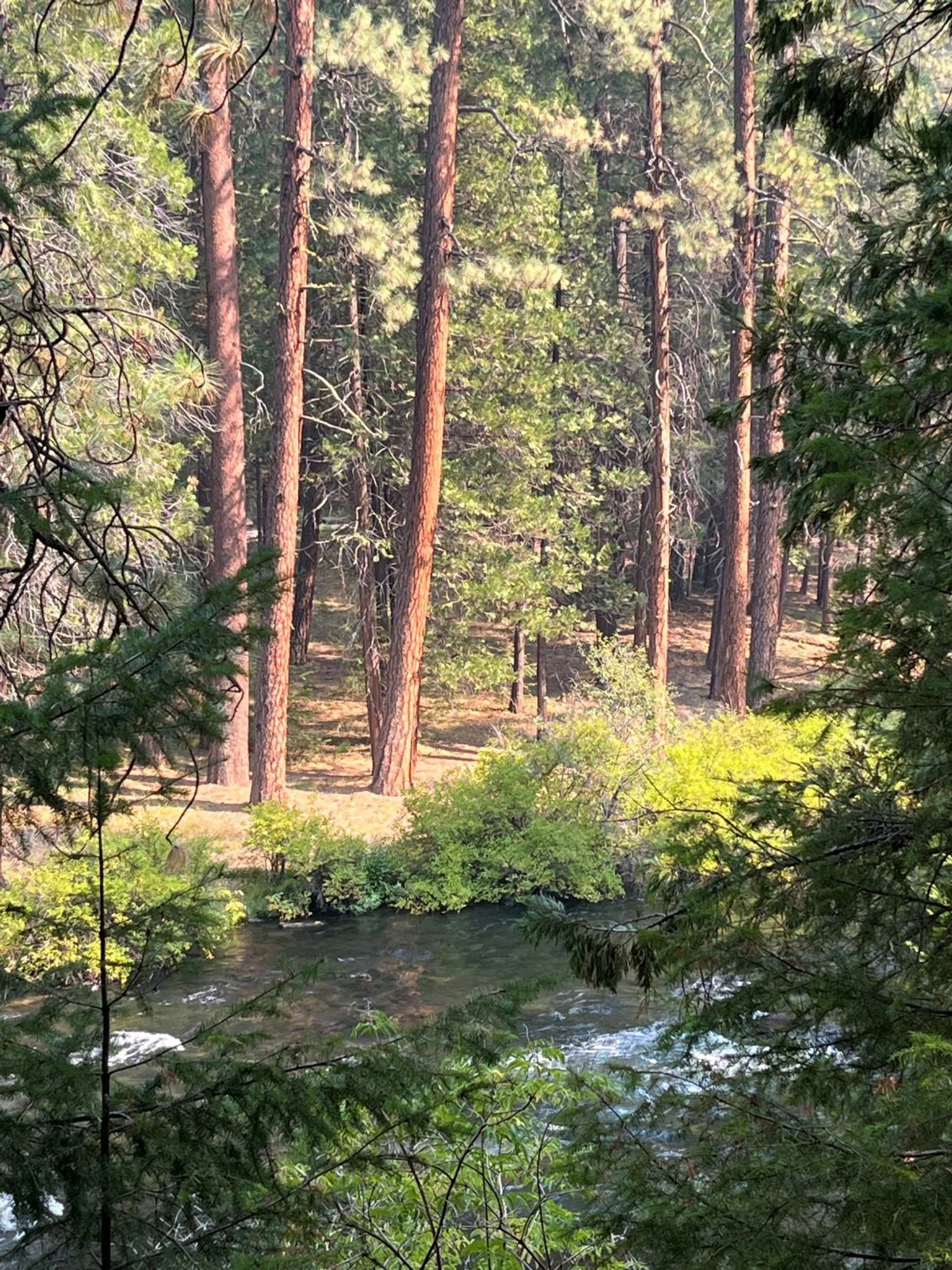
Pines in the sun
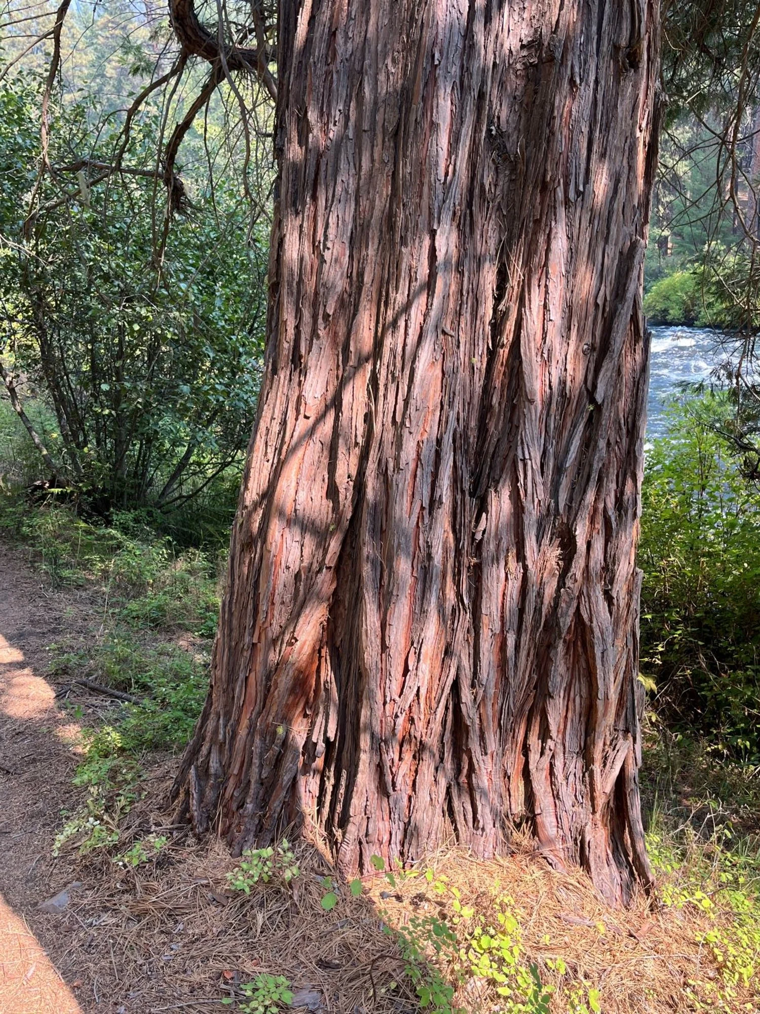
Ropy-barked incense cedar
