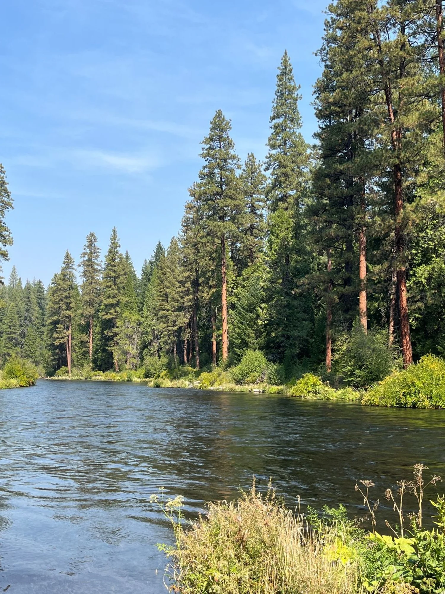
63. Metolius River Loop
Summary
Length 5 ¾ mile loop
Difficulty Easy
Season Spring to autumn
Elevation range 2,720 feet – 2,780 feet
Human imprint Very high (hikers, anglers, campgrounds, roads, fish hatchery)
Information Deschutes National Forest (Sisters Ranger District)
Primary old growth features
Beautiful, riverside ponderosa pine.
Description
This nearly level hike connects trails on both sides of the Metolius River for a picturesque loop showcasing flaming-orange ponderosa pine and spectacular riverside scenery. The river gurgles and murmurs on a gentle gradient through most of the loop, lending a soothing soundscape for hikers and anglers. Green Ridge and the Bridge 99 Fire (2014) are nearby and visible to the northeast in several places. Trails are restricted to foot-use only, and the world-renowned river and fishery is restricted to fly-fishing only. The loop also passes through three campgrounds and detours around a sliver of private land on both sides of the river, so expect company and the nearby sights and sounds of civilization taking a break in the woods.
The loop starts on the West Metolius Trail (4018) just across the bridge to the right next to the fish hatchery. Allow a few minutes for an informative stroll through the historic hatchery grounds before or after the hike. Head north past the hatchery and soon enter an attractive riparian forest of large ponderosa pine, incense cedar and Douglas-fir. The trail takes a hard left by a gate approximately a mile from the hatchery to detour around private land by the river. The trail soon turns back north and eventually rejoins the river. There are some impressive Douglas-fir and incense cedar mixed with younger forest along this stretch.
Beautiful groves of old ponderosa pine are arrayed along the riverbanks on both sides of the river for the next mile before the trail comes to Lower Bridge. Cross the bridge and head back south on the East Metolius Trail (4020) amidst more gorgeous pine. The trail is interrupted by the Pioneer Ford Campground, resumes in old forest, then detours around private land close to the main road, and is finally interrupted again by the Allen Springs Campground. You can continue through the campgrounds and pick up the trail on the other side, although the Allen Springs Campground route is not well signed. Look for a short spur trail by the parking spot for campsite 14.
The last third of a mile once again features big pines before emerging by the hatchery parking lot. Note that the loop can be hiked in either direction, and accessed from the campgrounds and Lower Bridge.
30 years of change
Portions of the forest near the east side of the loop have had prescribed fire applied, reducing the amount of understory vegetation and maintaining an open stand featuring large ponderosa pine. Effects from the Bridge 99 Fire (2014) can be seen to the east and northeast on Green Ridge.
How to get there
From U.S. Highway 20, turn north onto Camp Sherman Road approximately 10 miles west of Sisters (10 miles east of Santiam Pass). Veer right onto FR 14 at a junction 2 ½ miles from the highway, and follow FR 14 for an additional 7 ¾ miles, turning left at the sign for Wizard Falls Fish Hatchery (10 ¼ miles from Highway 22). Park on the left just before the bridge a couple hundred yards later.
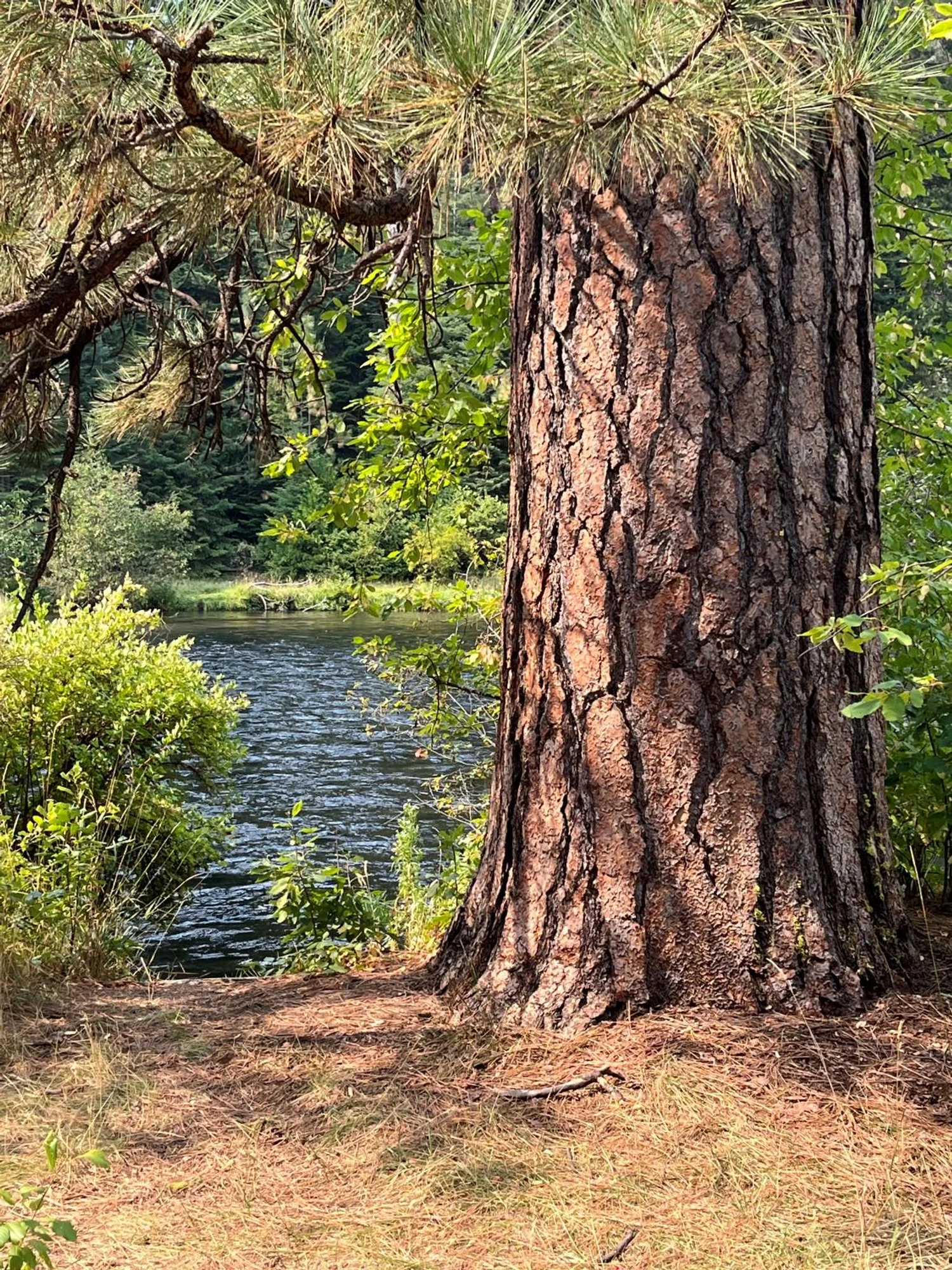
Veteran ponderosa pine
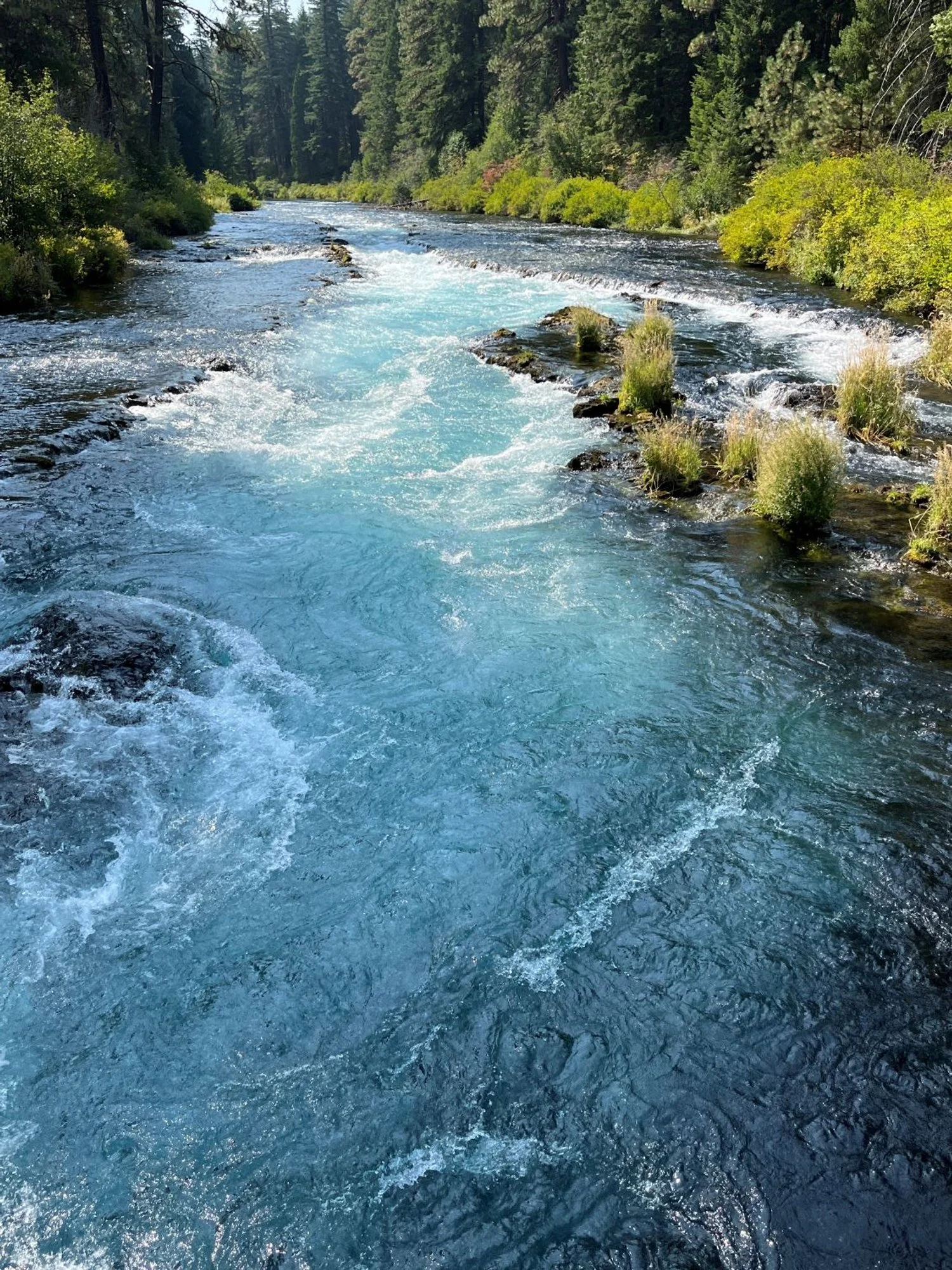
Gorgeous Metolius
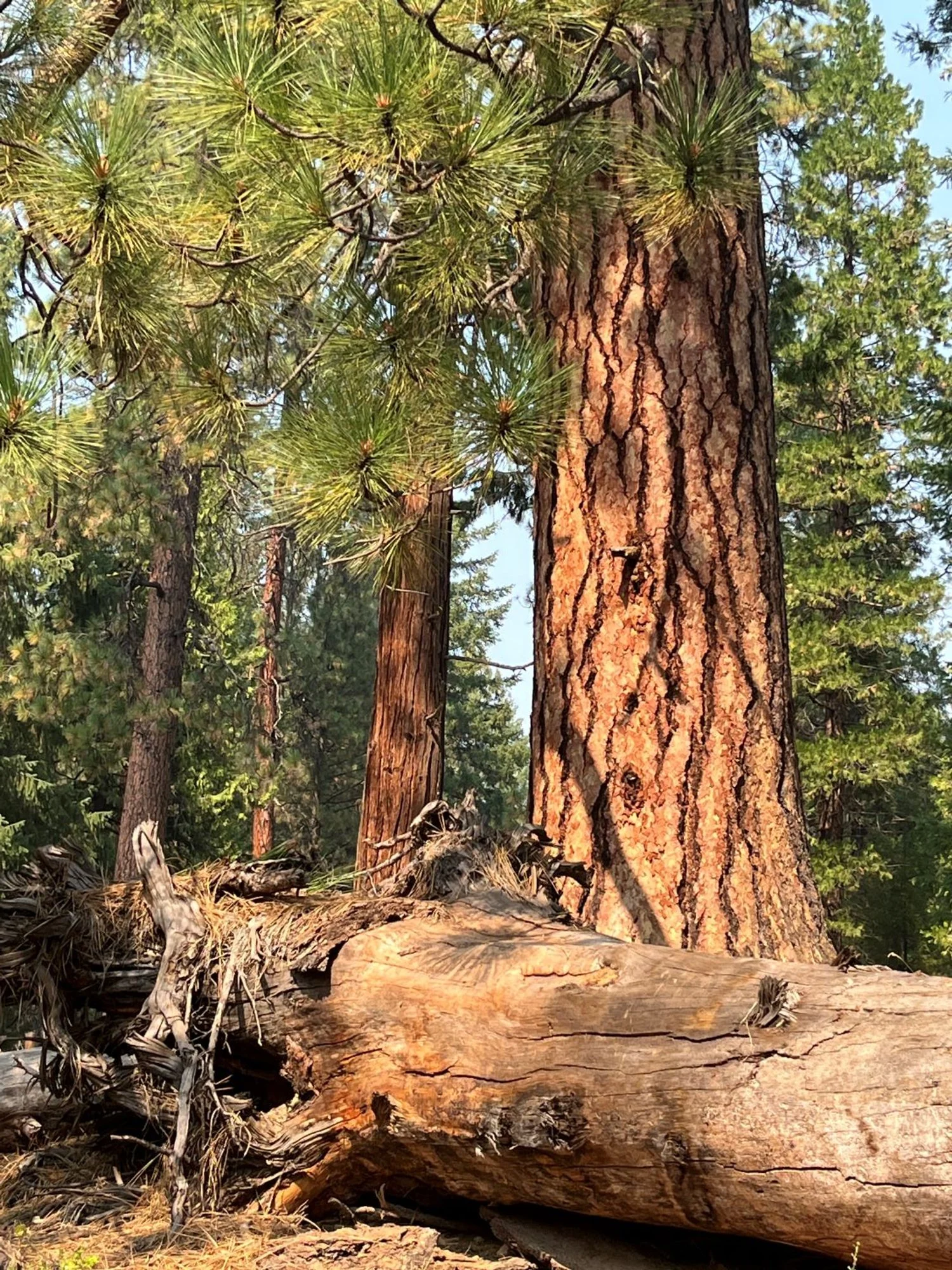
Ponderosa pine old growth
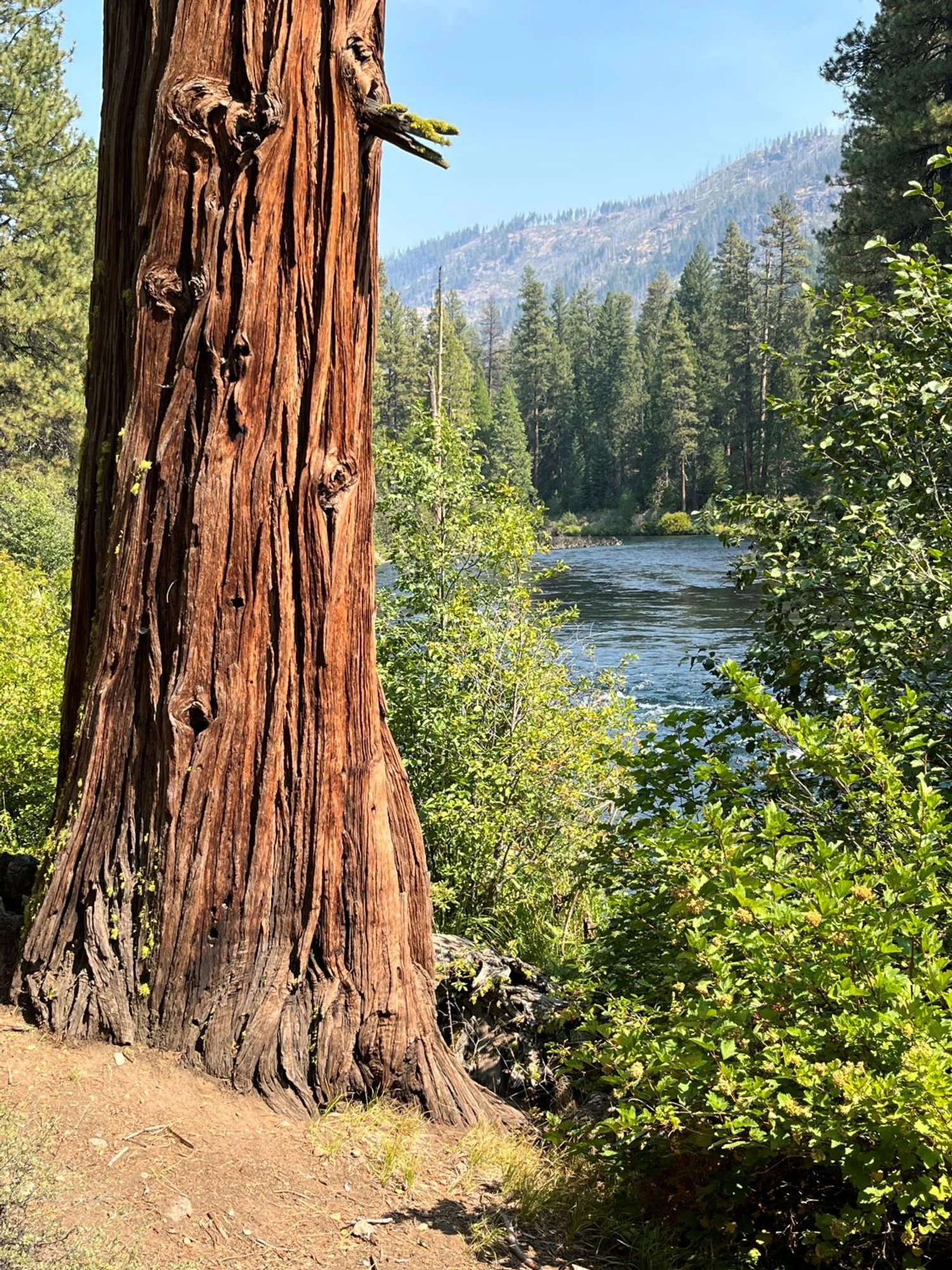
Incense cedar, Metolious River, Green Ridge (Bridge 99 Fire, 2014)
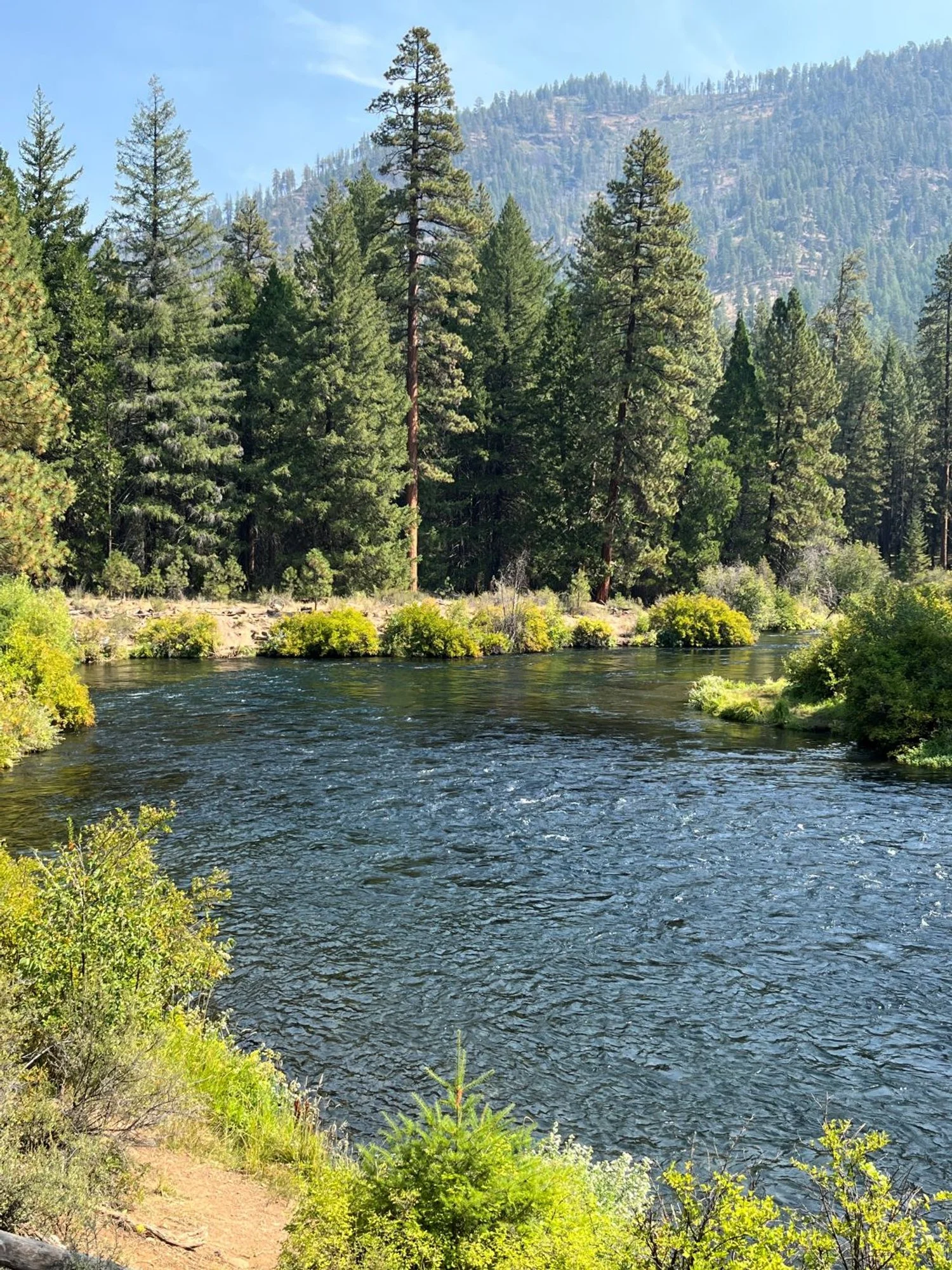
Pines around the bend
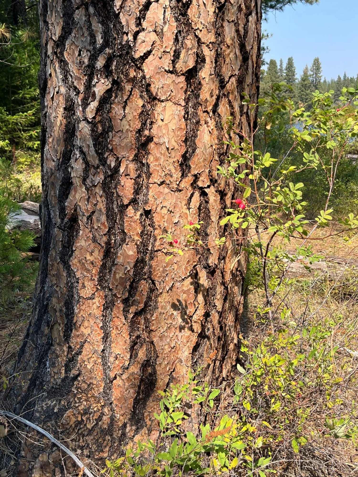
Old ponderosa pine
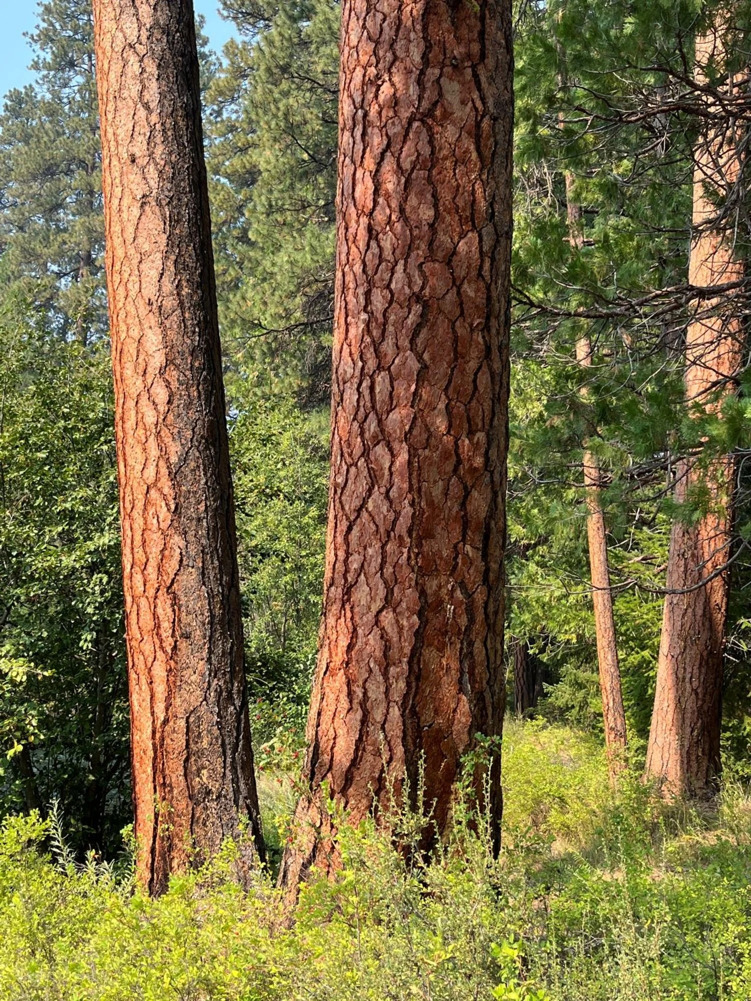
Sunstruck pines
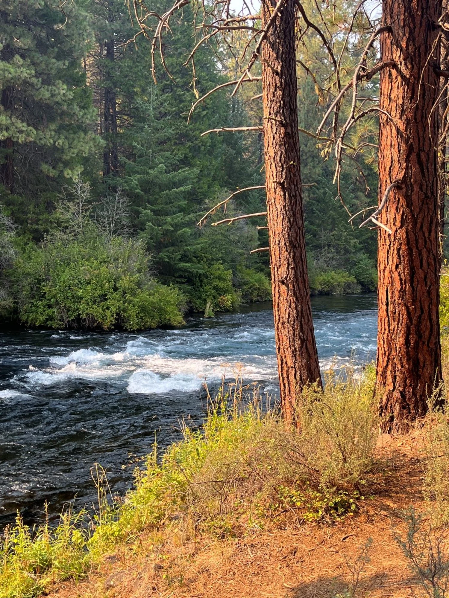
Watching the river flow
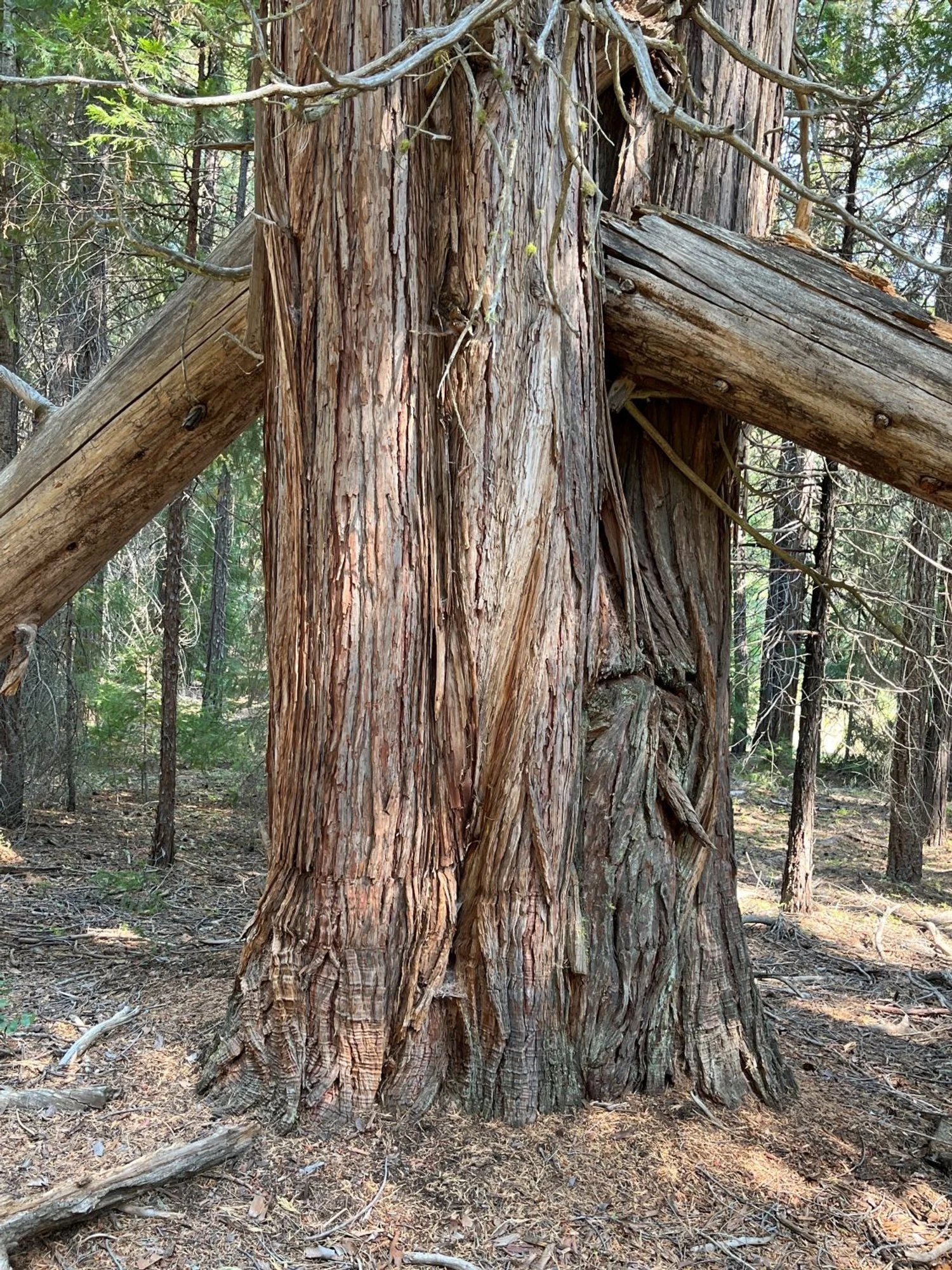
Treecracker
