64. Metolius River Springs
Summary
Length 2 ½ miles one way
Difficulty Easy
Season Spring to autumn
Elevation range 2,780 feet – 2,890 feet
Human imprint High (hikers, campground)
Information Deschutes National Forest (Sisters Ranger District)
Primary old growth features
Fiery, old ponderosa pine and riverbank Douglas-fir.
Description
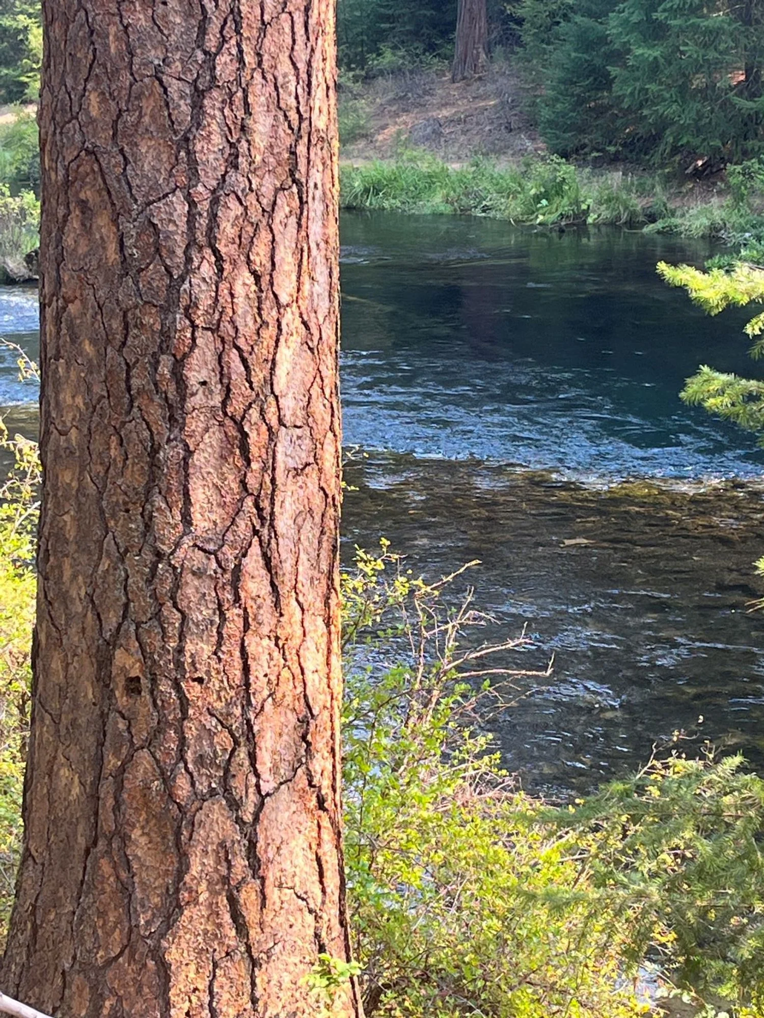
The most popular hike along the Metolius River stretches along the north and west riverbanks between Canyon Creek Campground and Wizard Falls Fish Hatchery. Spectacular springs pouring out of the hillslope a few feet above the river's surface are a main attraction, but the vivid, orange-barked ponderosa pine captures the unique forest character of the Metolius area. Some of the older pines exhibit multiple fire scars, evidence of a history with more frequent lower-severity fire.
From the Canyon Creek Campground, head downstream on the West Metolius River Trail (4018) in an impressive stand of old ponderosa pine amid scattered bitterbrush. The trail drops to the river and arrives at the gushing springs about a third of a mile from the campground. Water comes bursting out of the riverbank from numerous points in a sparkling series of tiny, interconnected waterfalls.
The river picks up speed downstream from the springs in a whitewater frenzy as the stream gradient steepens. Large, thick-barked Douglas-fir intermingle with ponderosa pine and occasional incense cedar inside the picturesque gorge. Below the gorge, the river mellows out a bit where the streamside trail is framed by large pines, along with younger forest in places. The hike ends at the hatchery, which is well worth a visit.
30 years of change
Very little change.
How to get there
From U.S. Highway 20, turn north onto Camp Sherman Road approximately 10 miles west of Sisters (10 miles east of Santiam Pass). Continue straight on the Camp Sherman Road (now FR 1419) at the junction with FR 14 approximately 2 ½ miles from Highway 20. At a stop sign a little over 2 miles later, continue straight, now on FR 1420. Turn right onto gravel-surfaced FR 400 approximately 3 1/3 miles later (5.4 miles from the junction with FR 14.) The trailhead is on the left by Canyon Creek Campground 3/4 mile later.
The other end of the hike is at Wizard Falls Fish Hatchery. To start there, veer right onto FR 14 at the junction 2 ½ miles from Highway 20, and follow FR 14 for an additional 7 ¾ miles, turning left at the sign for Wizard Falls Fish Hatchery (10 ¼ miles from Highway 22). Park on the left just before the bridge a couple hundred yards later.

Old ponderosa pine

Metolius River Springs

Large ponderosa pine and bitterbrush

Trailside leaner

Metolius whitewater

Cluster of old Douglas-fir

Riverside pine

Wavy river

Hearty Douglas-fir
