38 - Shale Ridge Trail

A 10 footer ...
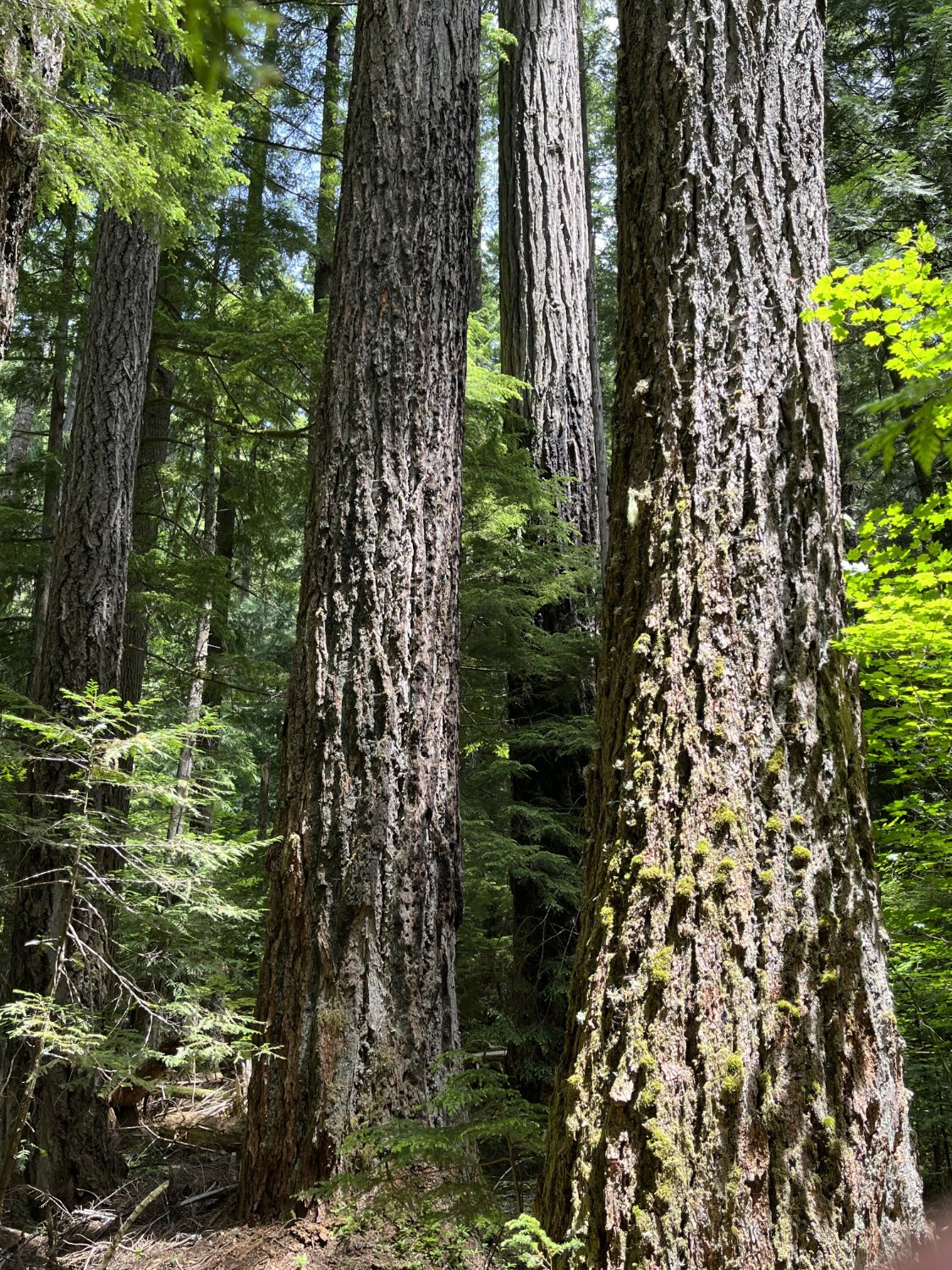
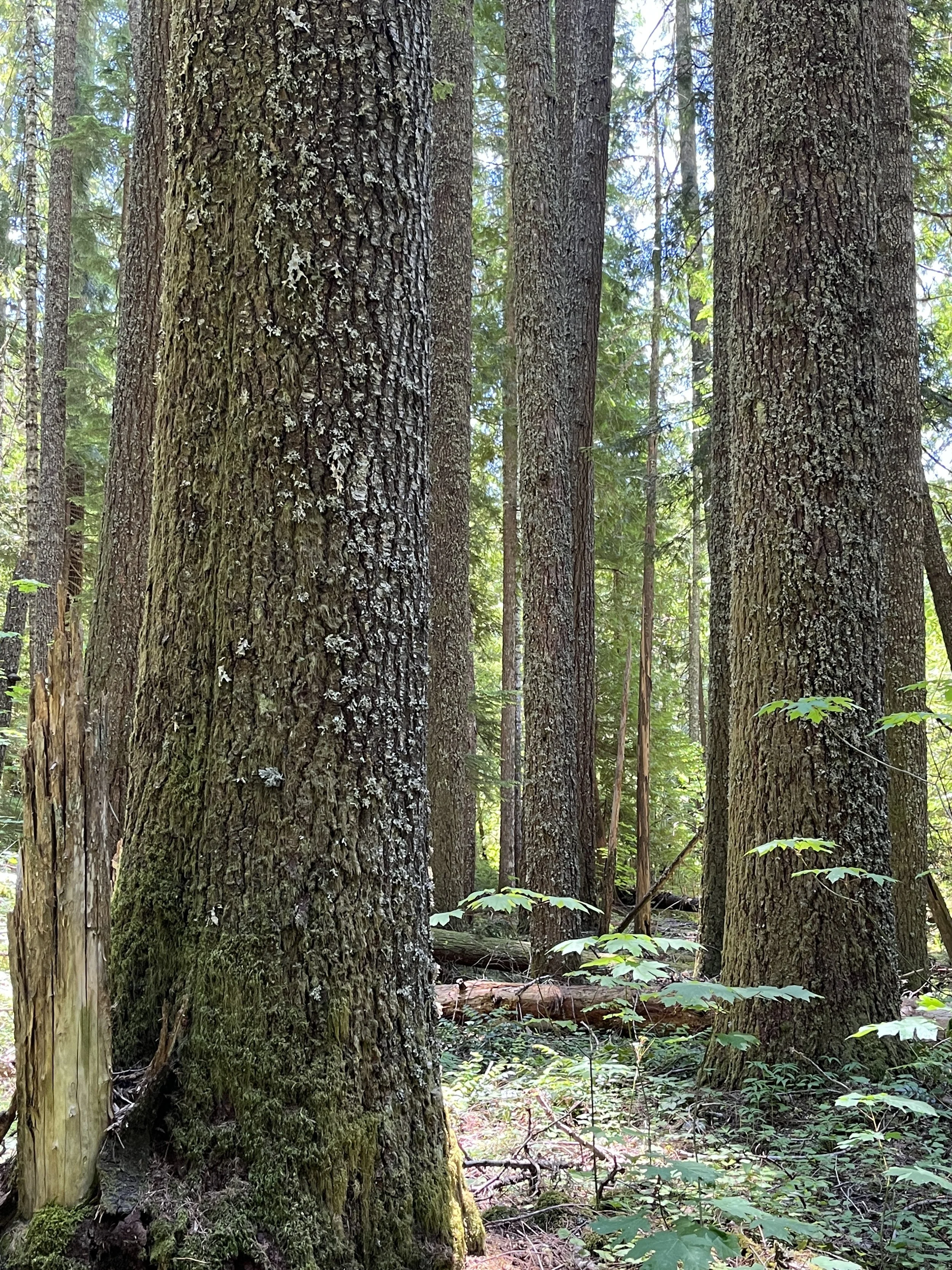
A cluster of big firs

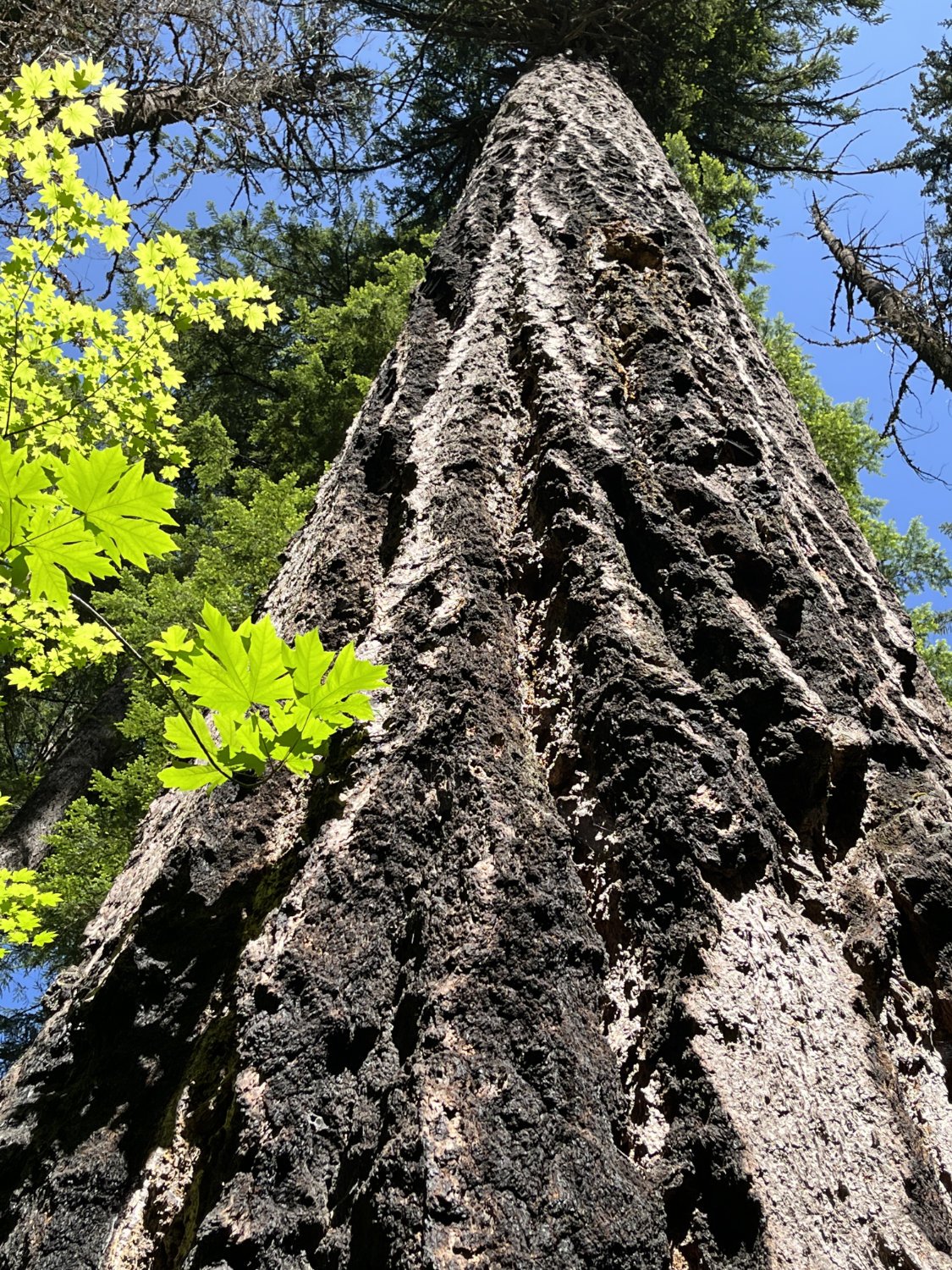
Hollowed out scar
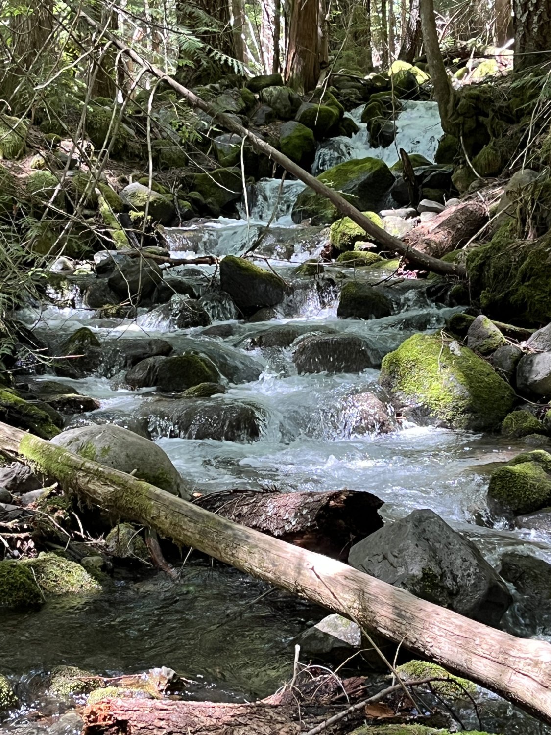
Skookum Creek

Redcedar grove

Western redcedar(s), 13'
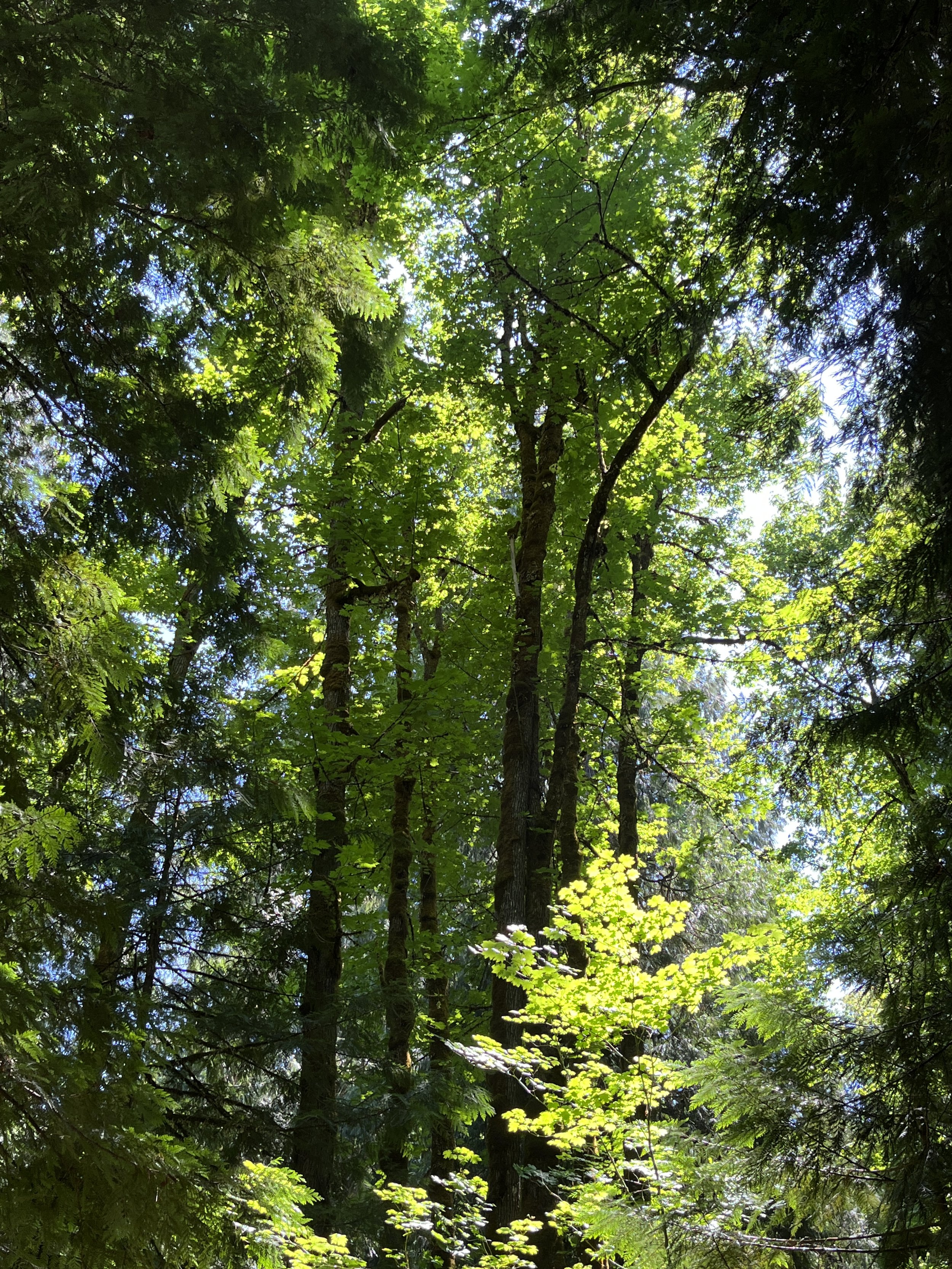
Tall bigleaf maples
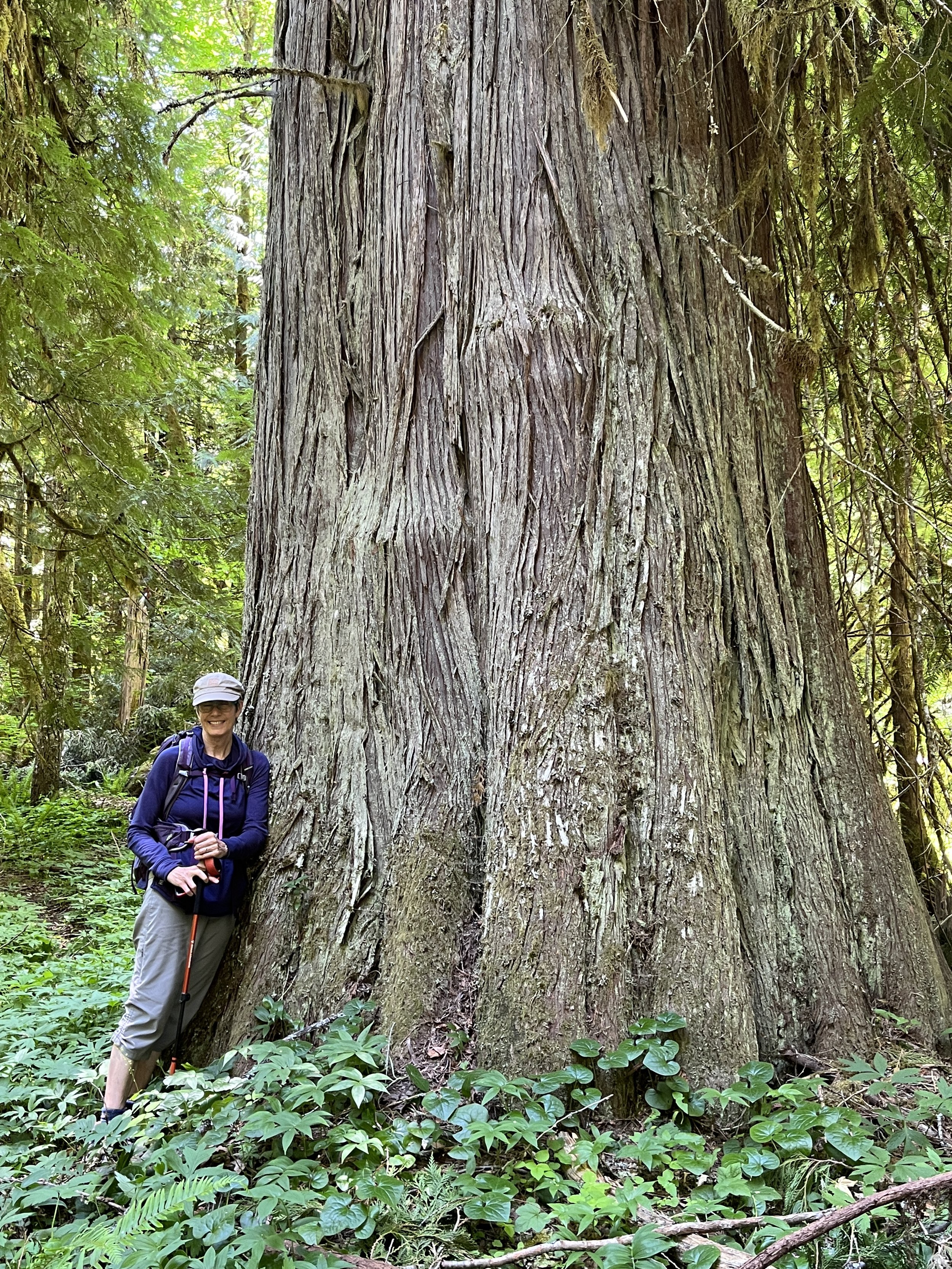
Diane and the giant redcedar

Tim in a burned-out redcedar
Cluster of grand fir
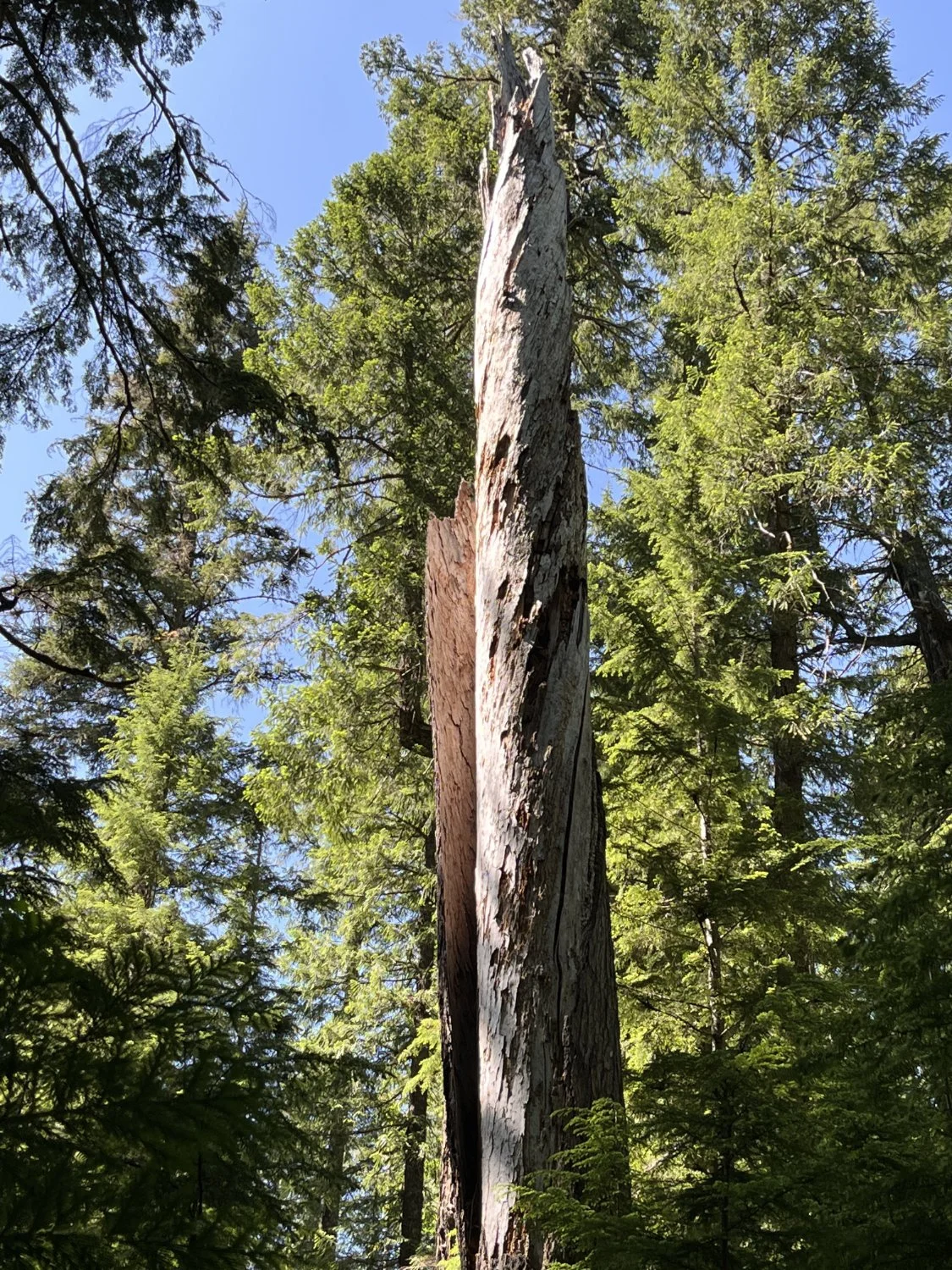
Large snag
Long fire scorch