42 - Fuji Mountain

Old-growth mountain hemlock

Two-toned trail

Dancing hemlocks
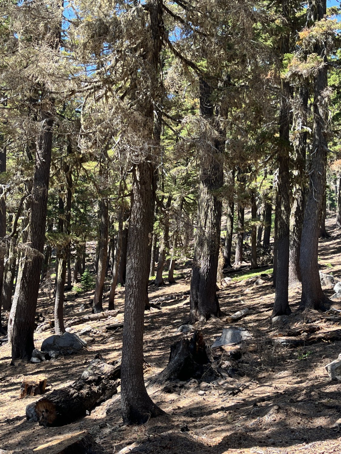
Treated and burned below the trail

View down Black Creek (2023)

View down Black Creek (1991)

Waldo Lake (2023)

Waldo Lake (1991)

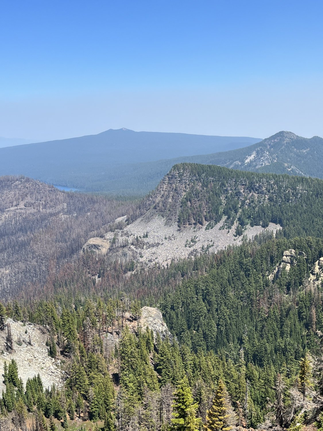
View to the northwest
Southeast edge of the fire - The Twins, Mt. Ray