41 - South Waldo
Mountain hemlock

Waldo Lake, small peninsula
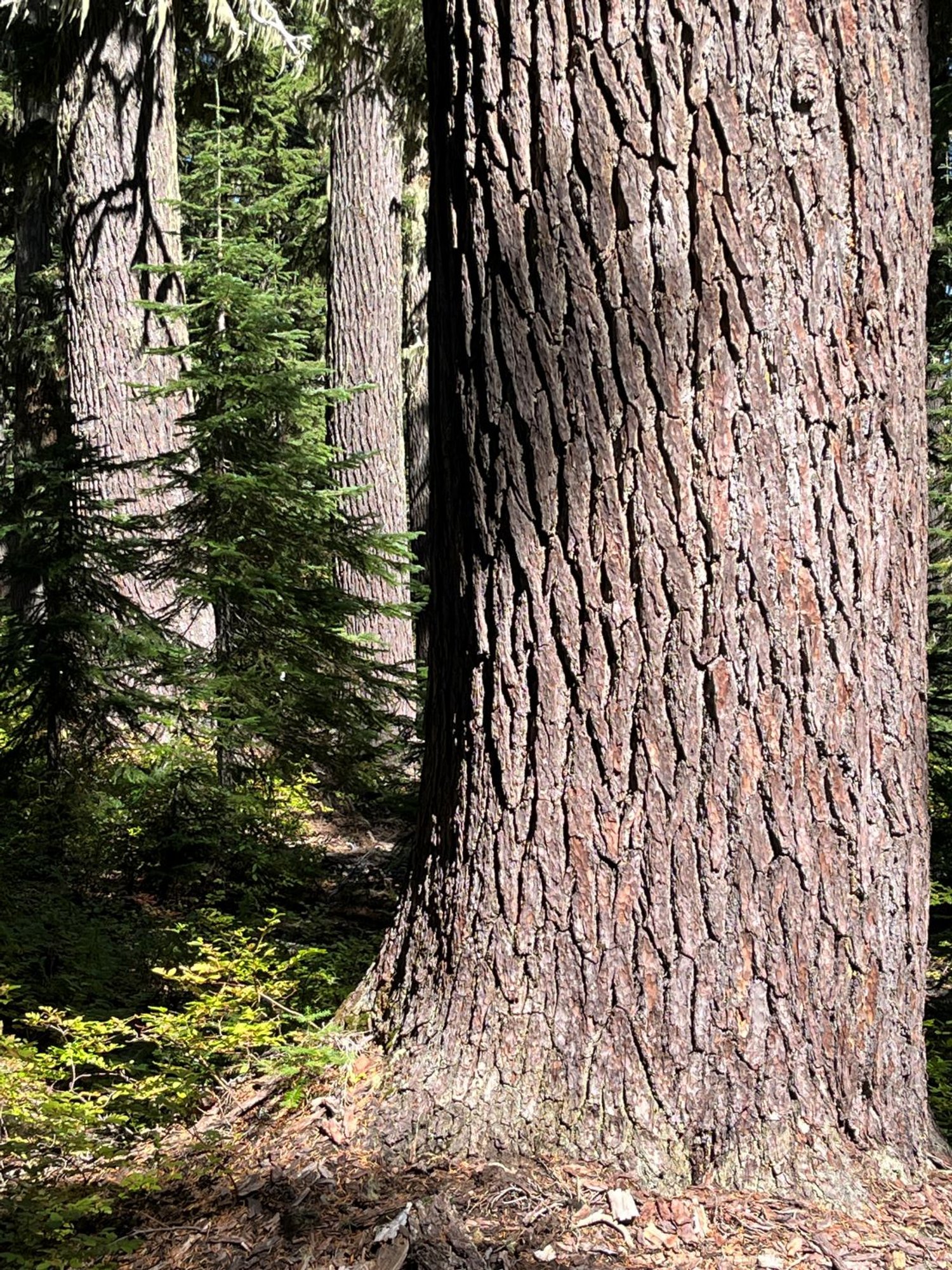
Engelmann spruce

South Waldo Shelter

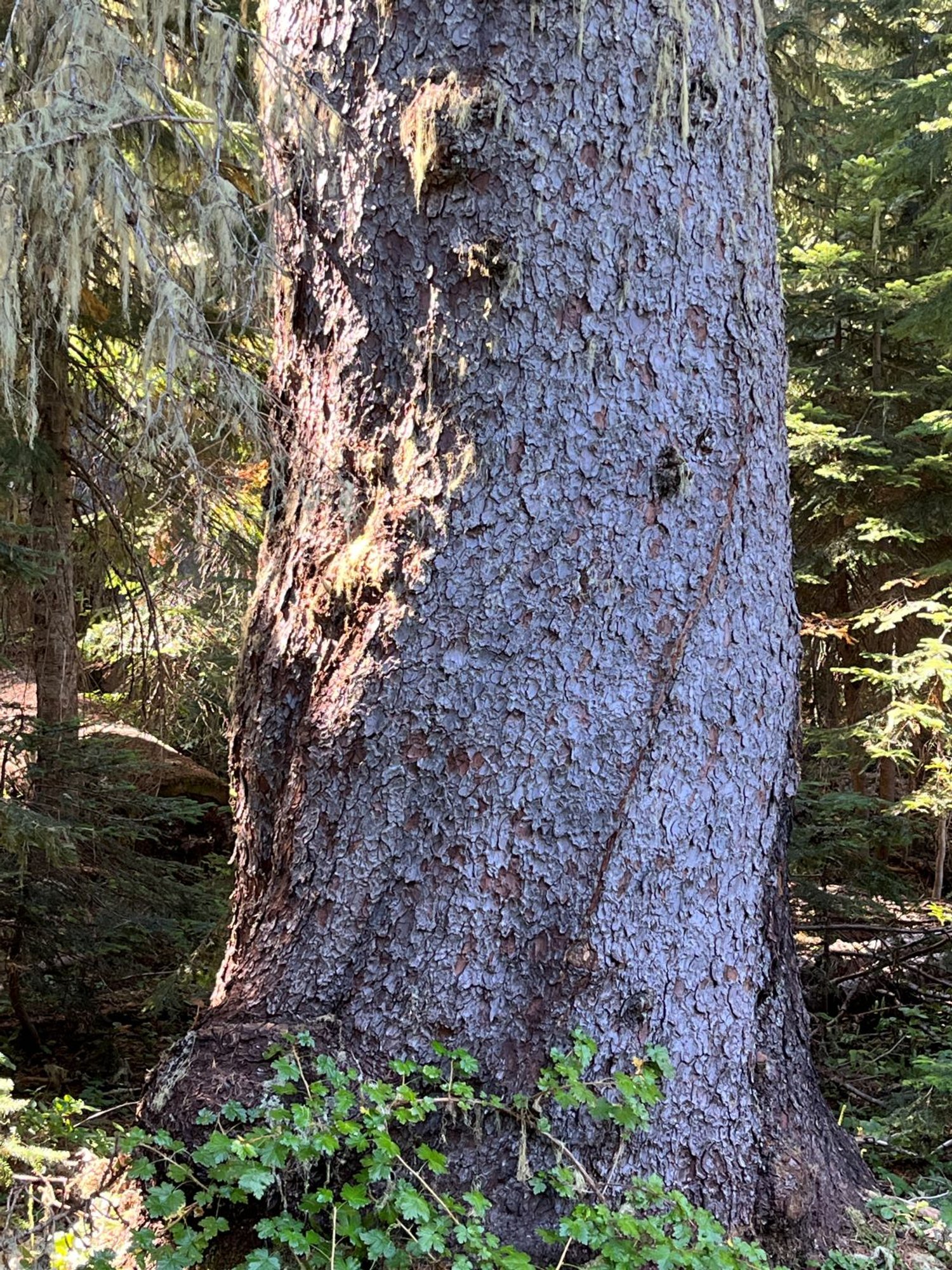
Engelmann spruce (1991)
Engelmann spruce (2023)

Mountain hemlock

Intermixed meadow

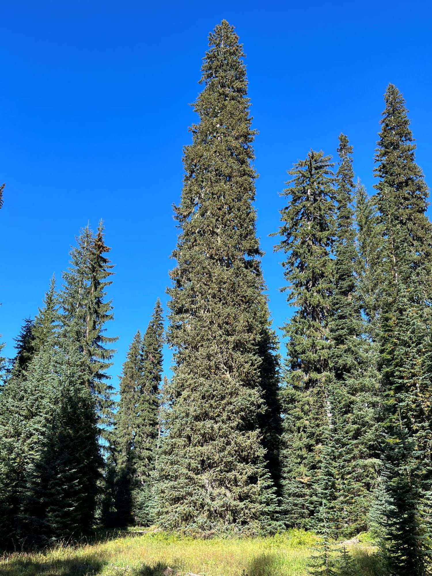
Huge mountain hemlock

Cute lake by trail junction

Cedar Creek Fire edge

Root and root crown damage, cause of death