44 - Larison Rock
Sugar pine
Sugar pine

Fairy slipper
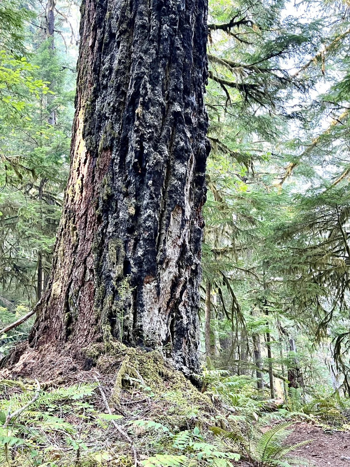
Douglas-fir
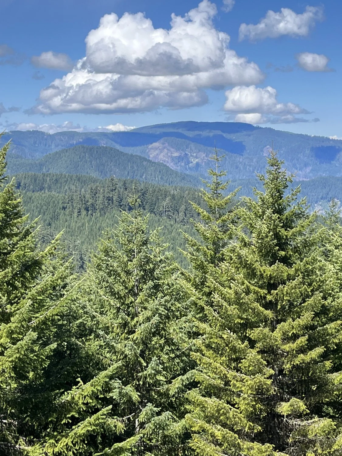
Patterson Mt & Deception Butte
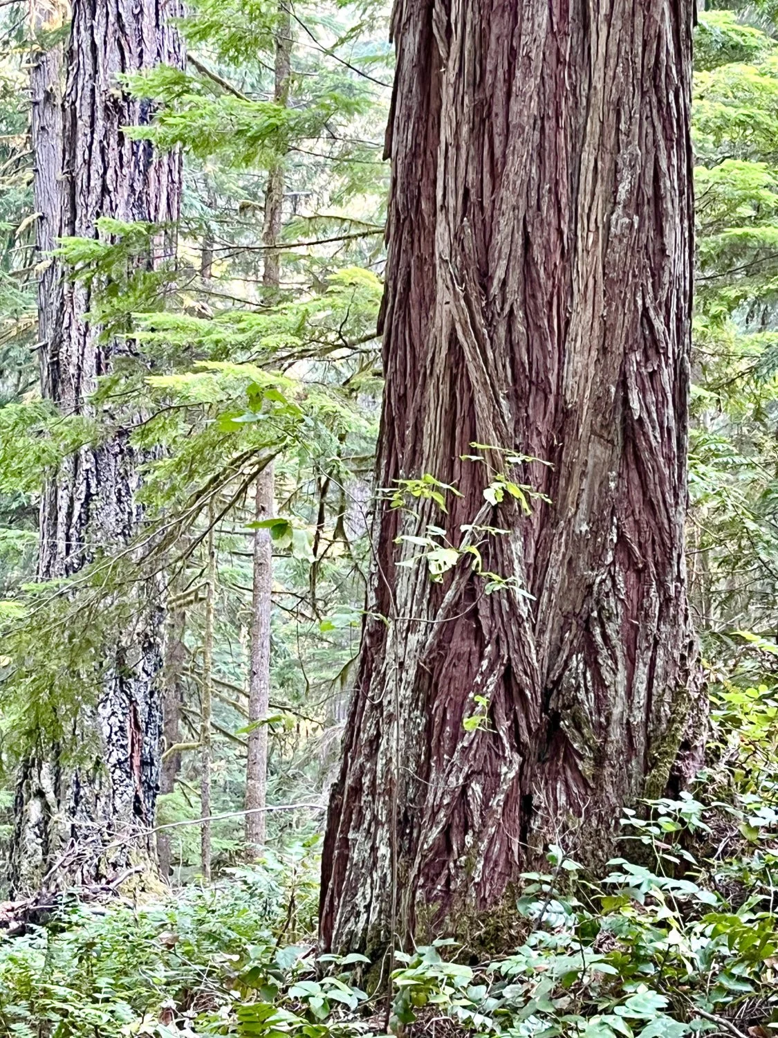
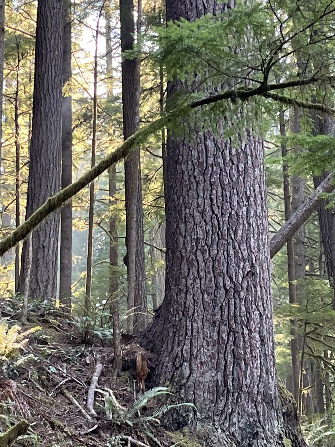
Incense cedar
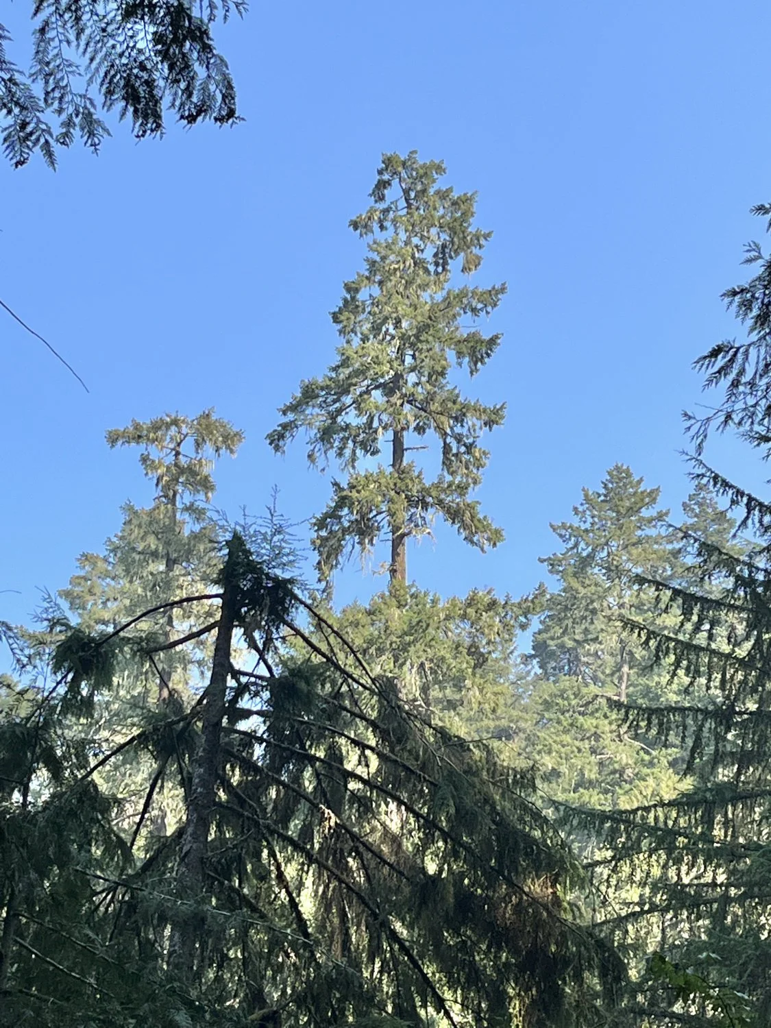
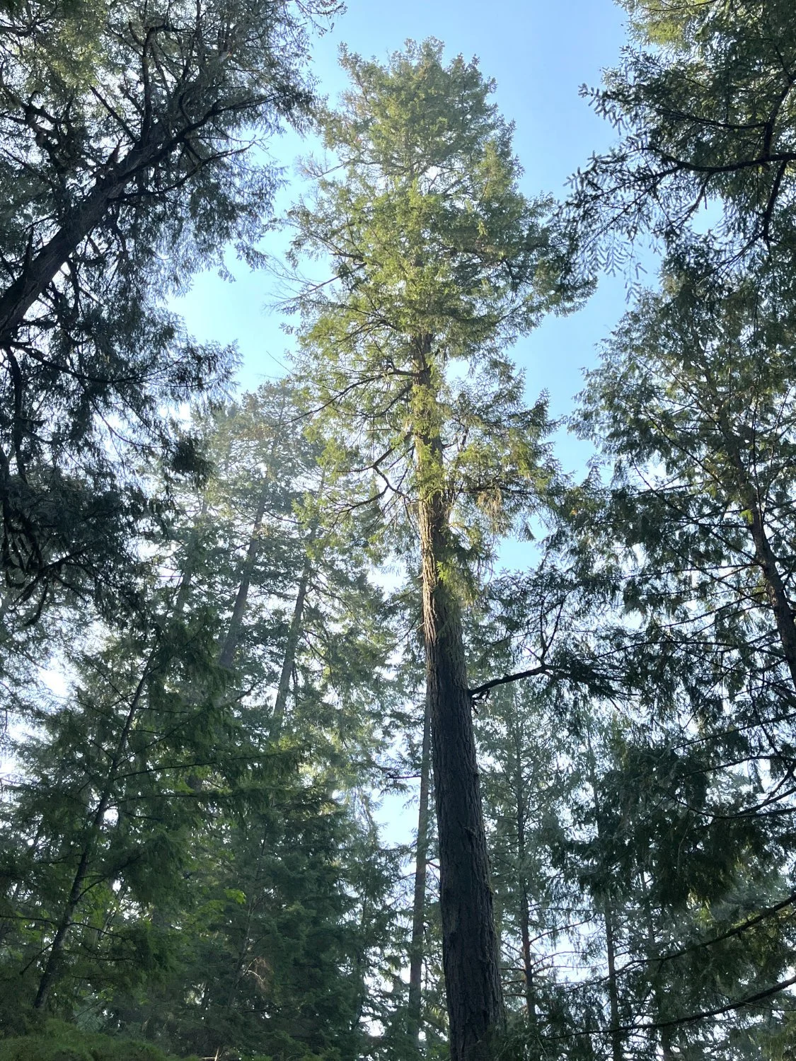
Towering Douglas-fir