45 - Larison Creek
Sugar pine

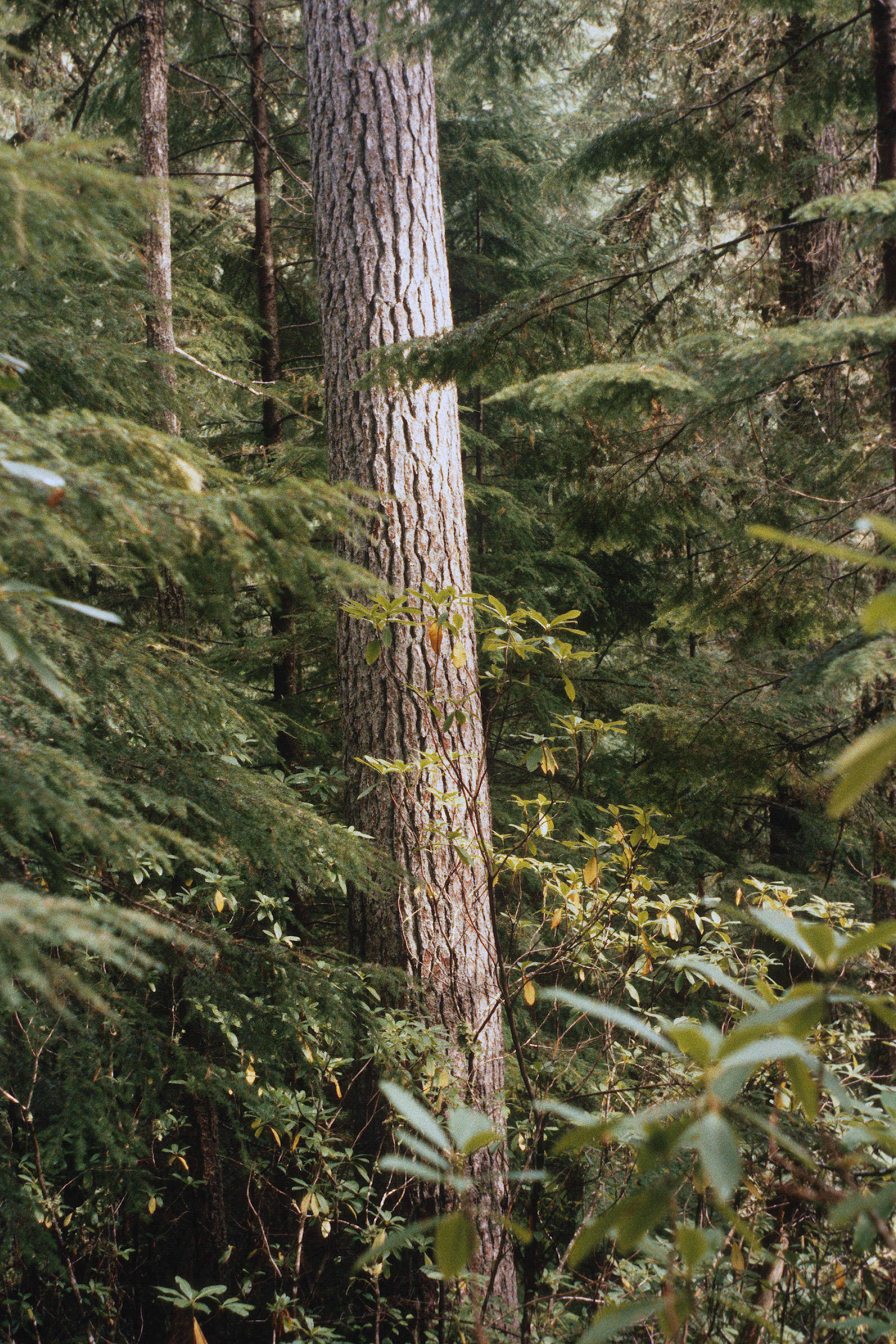
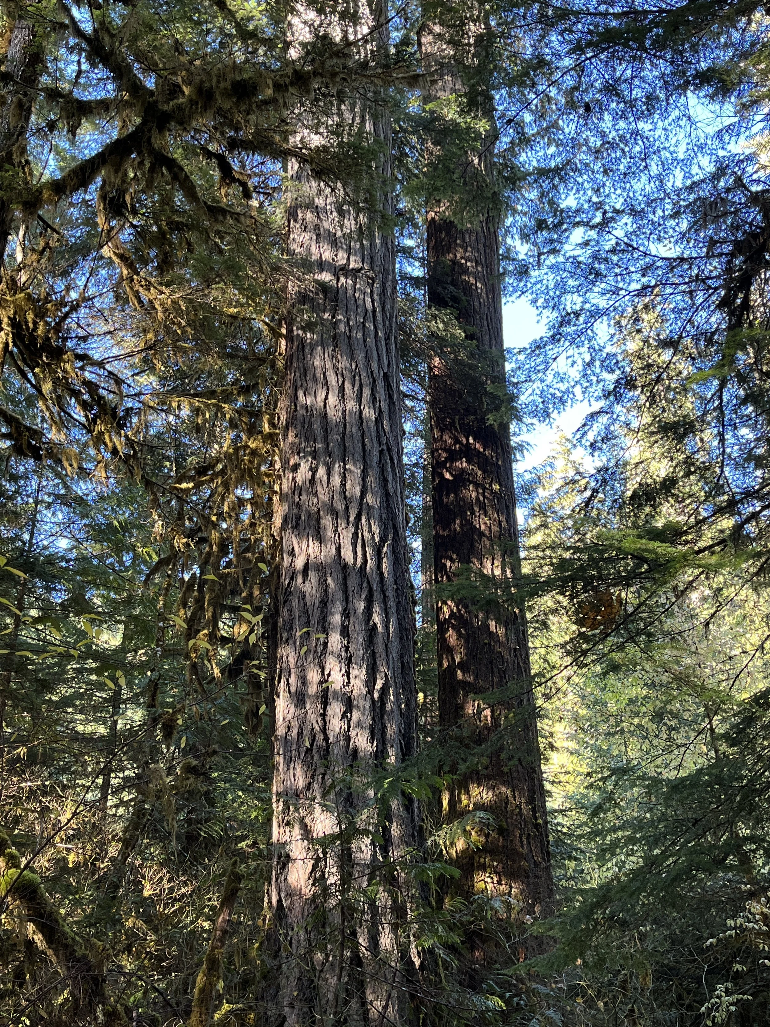
Douglas-fir
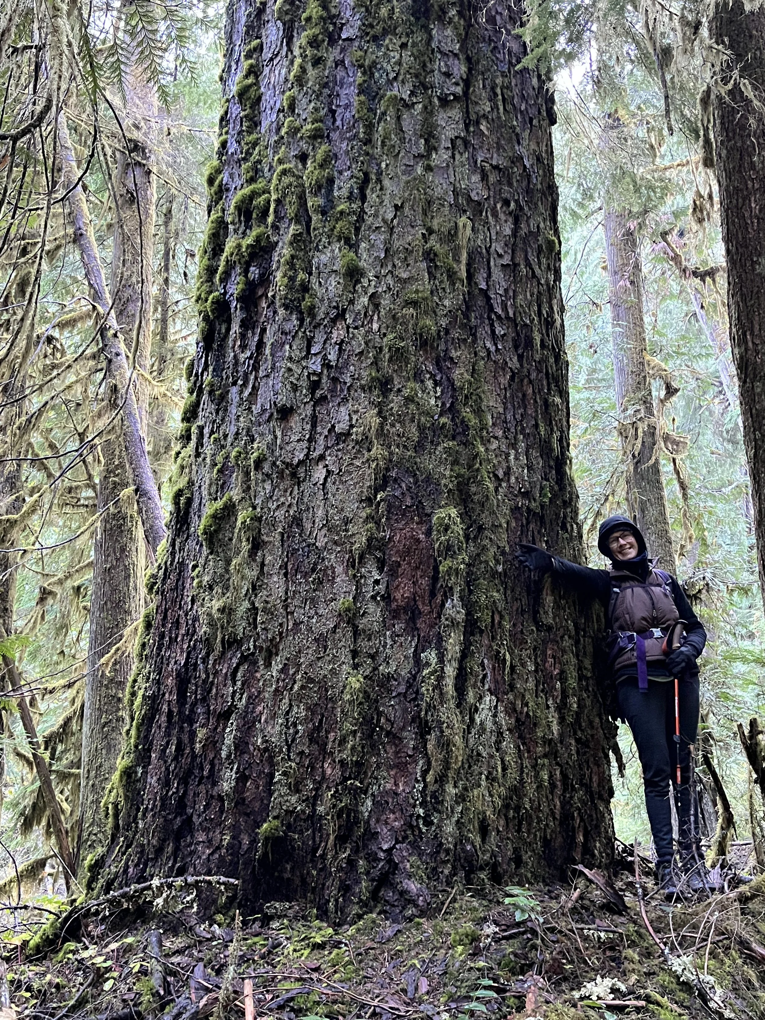
Diane, and a big tree
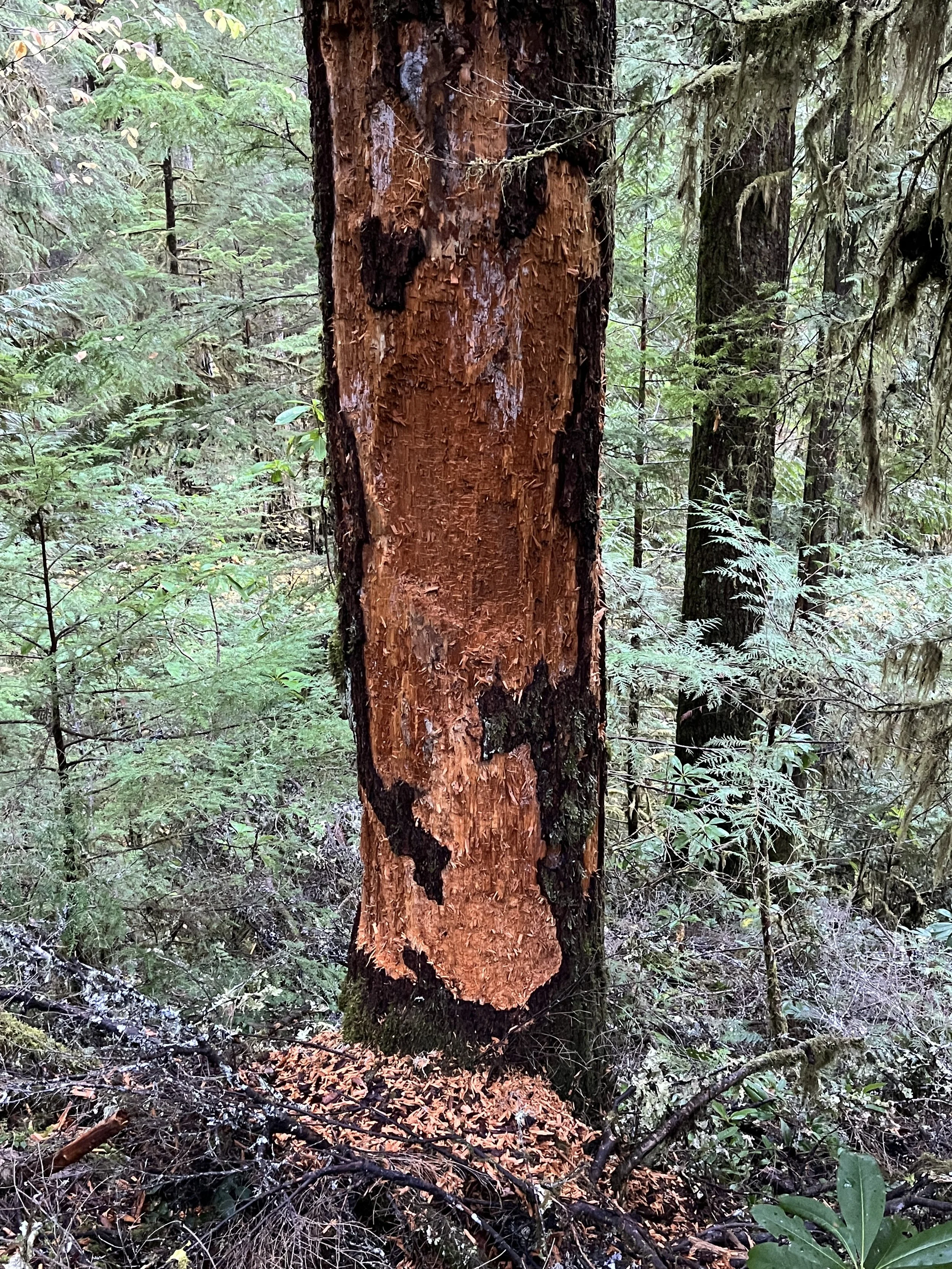
Bear in the vicinity
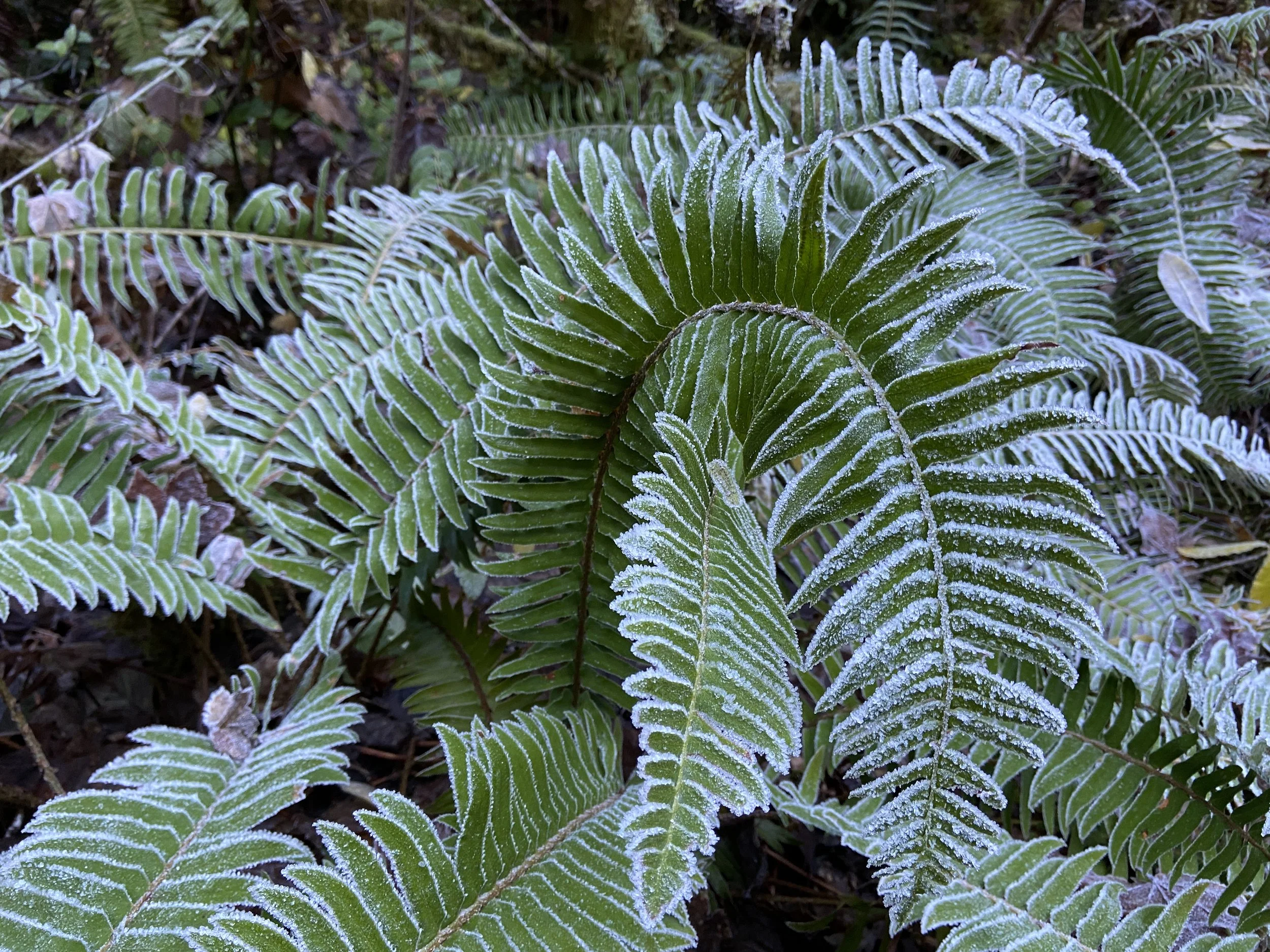
Frosty fern
Douglas-fir