46 Youngs Rock

Old survivors in dense forest
Fire scars on ponderosa pine
Beautiful pines

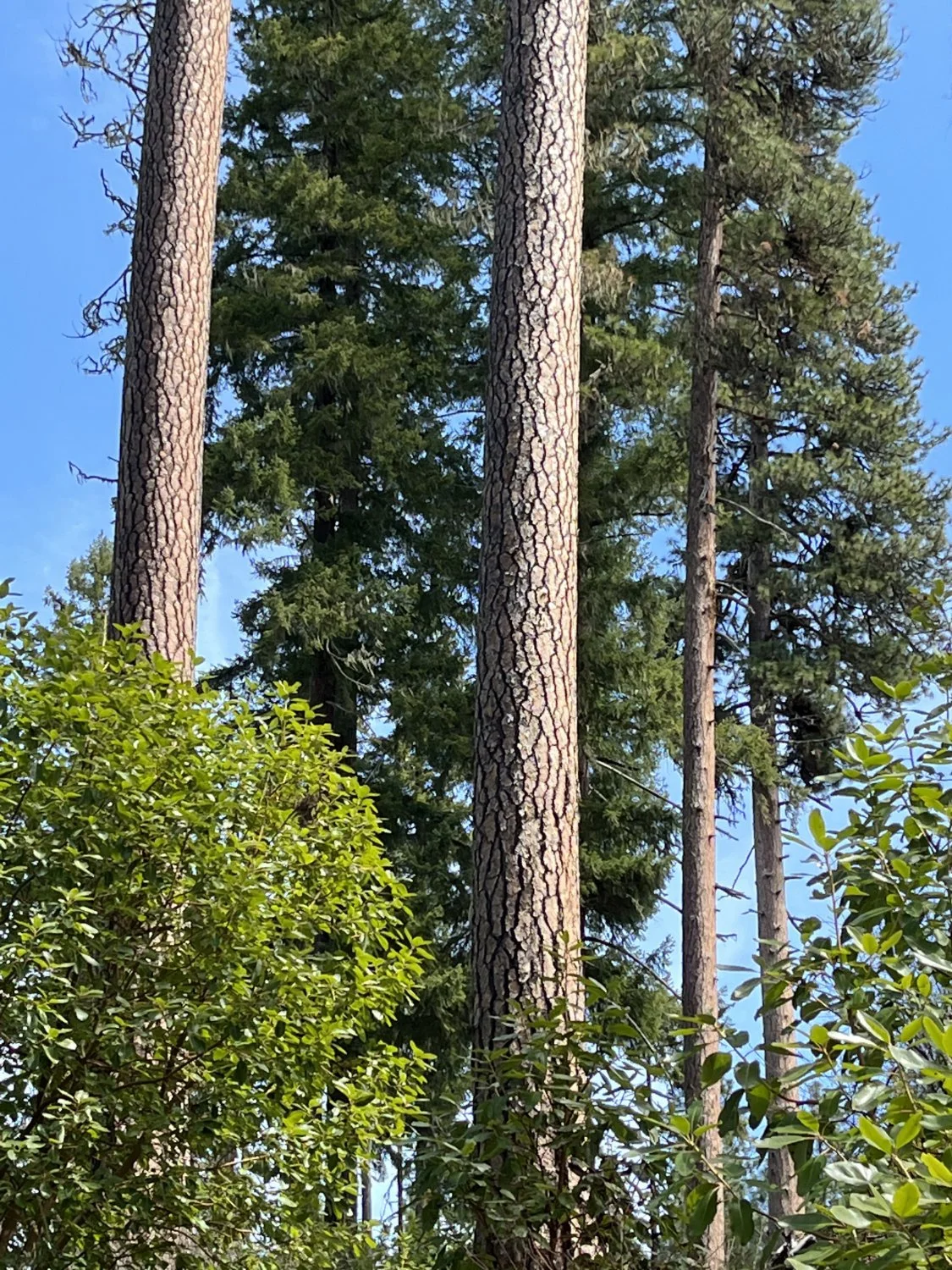
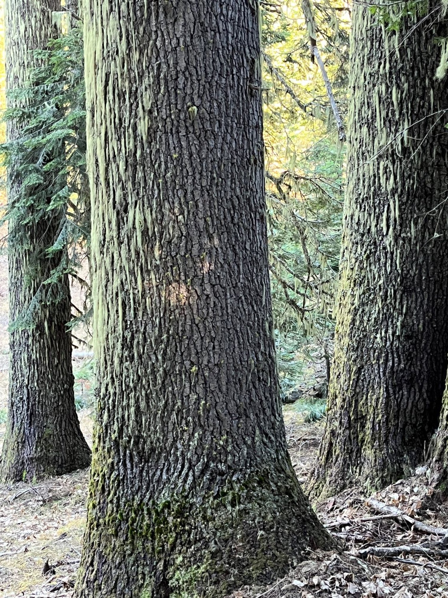
Trio of pines

Oregon White Oak

Youngs Rock
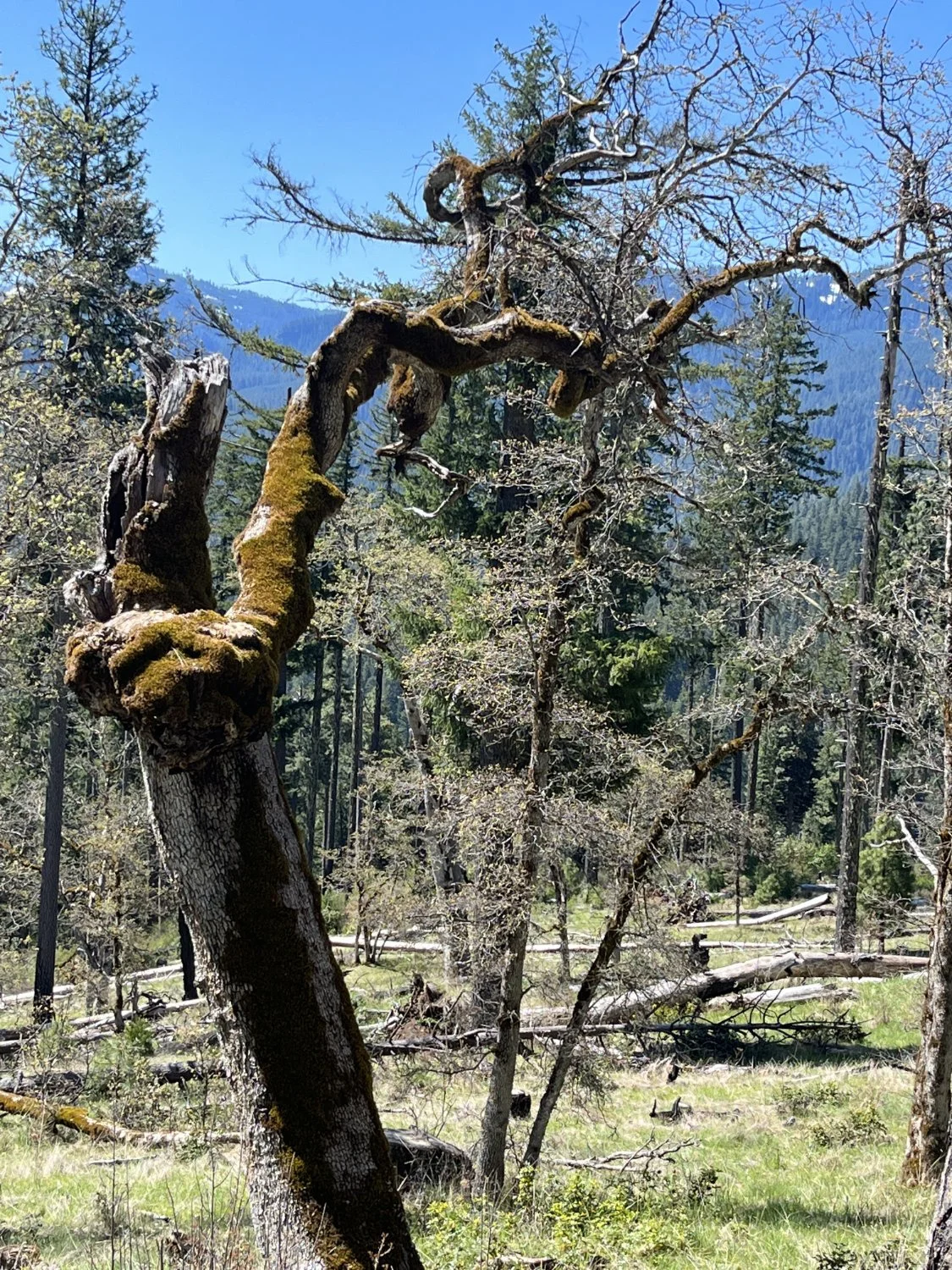
Gnarly oak

Incense cedars

Big pine, fire and bunchgrass

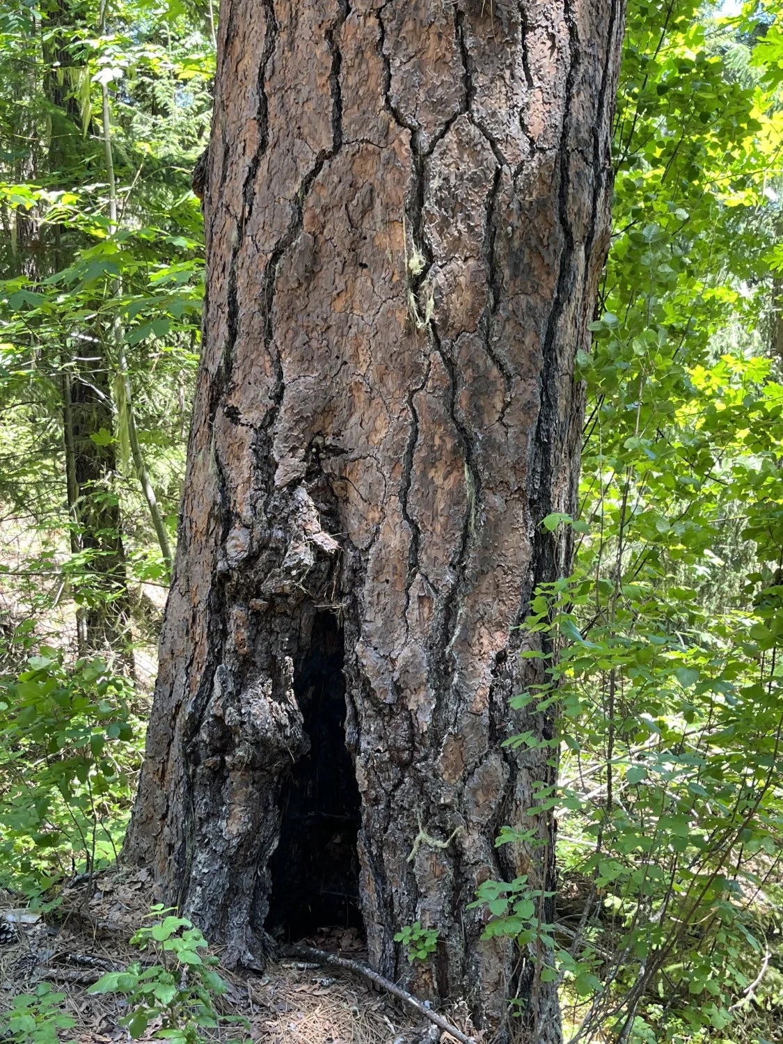
Presumed indigenous cultural fire scar

Post restoration

Deerbrush

Beware, poison oak

Mountain bike erosion

Madrone
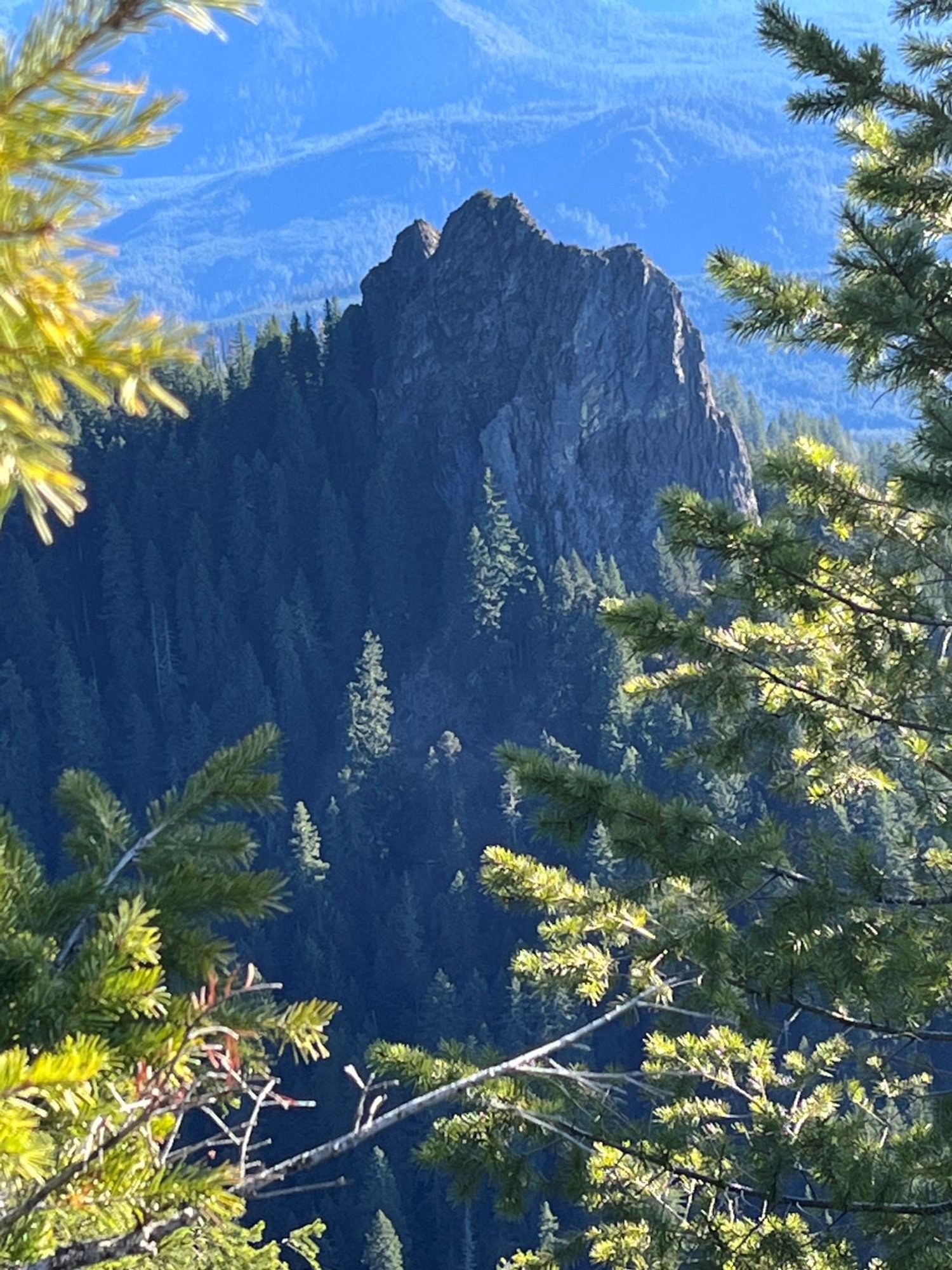
Youngs Rock from Moon Point
Grove of big noble fir

Huge Douglas-fir above Youngs Rock

Douglas-fir with fire scorch
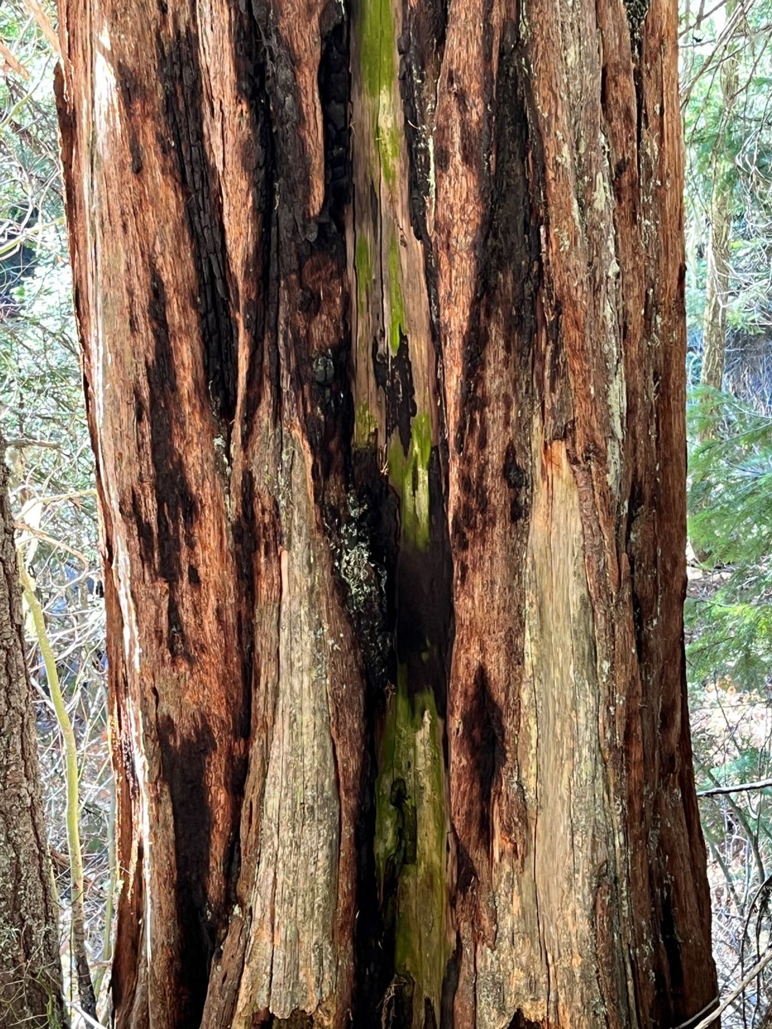
Colorful incense cedar
Old grand fir


