47 - Middle Fork (Coal Creek)

Middel Fork - early spring
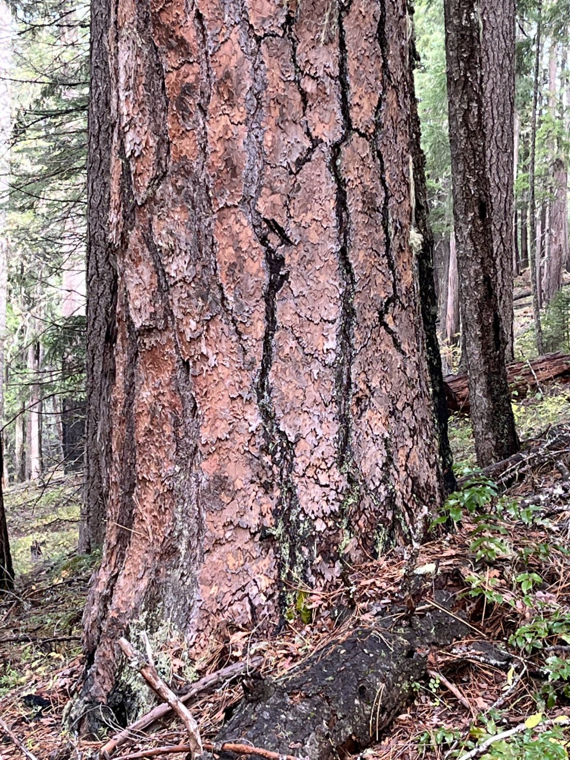
Ponderosa pine
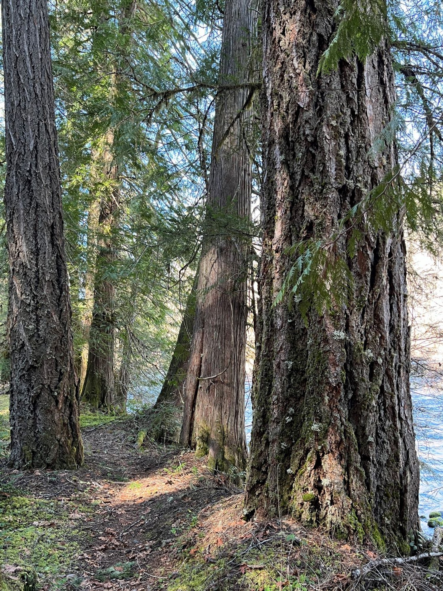
Riverside terrace

Diane catches a big one
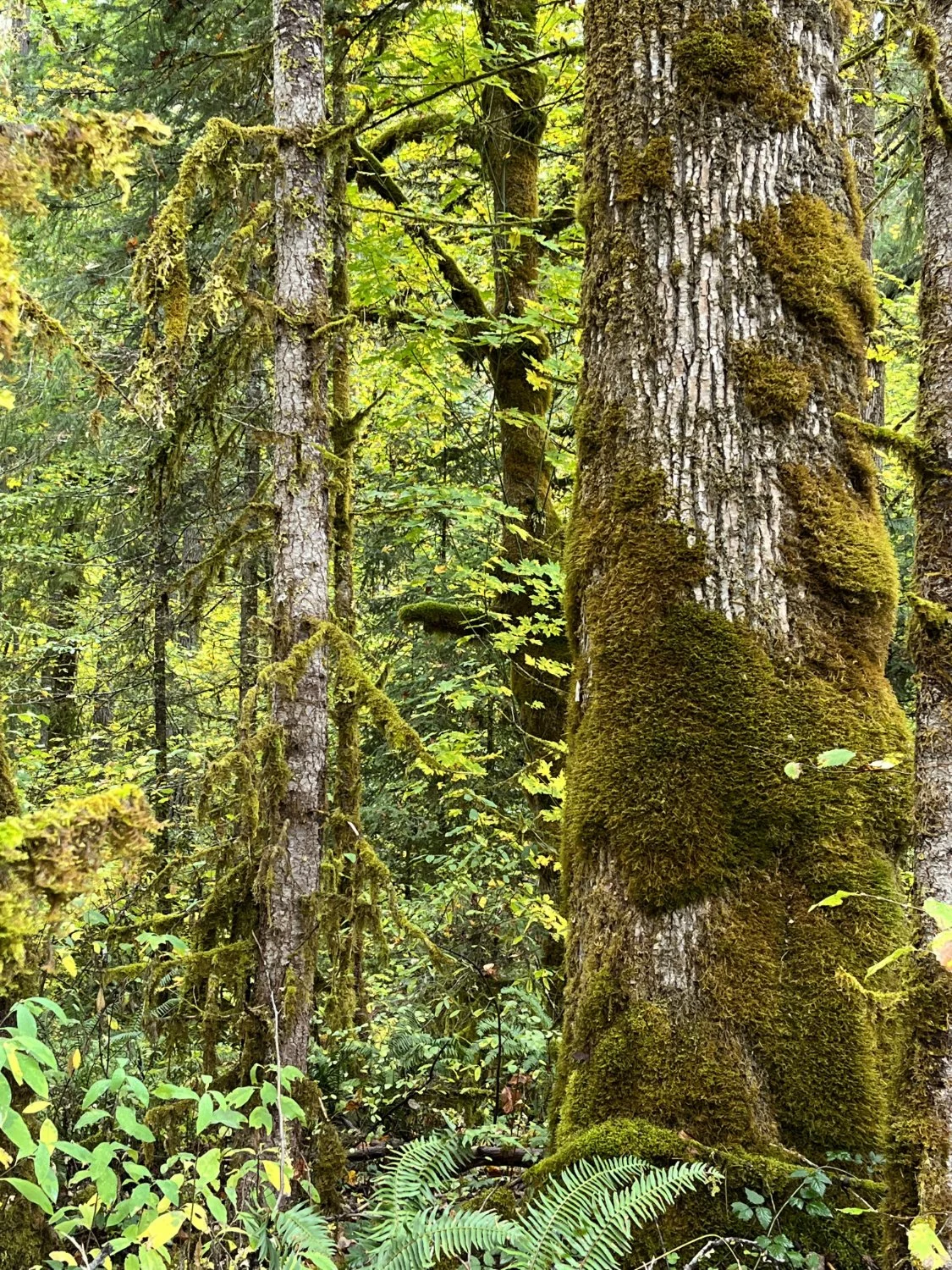
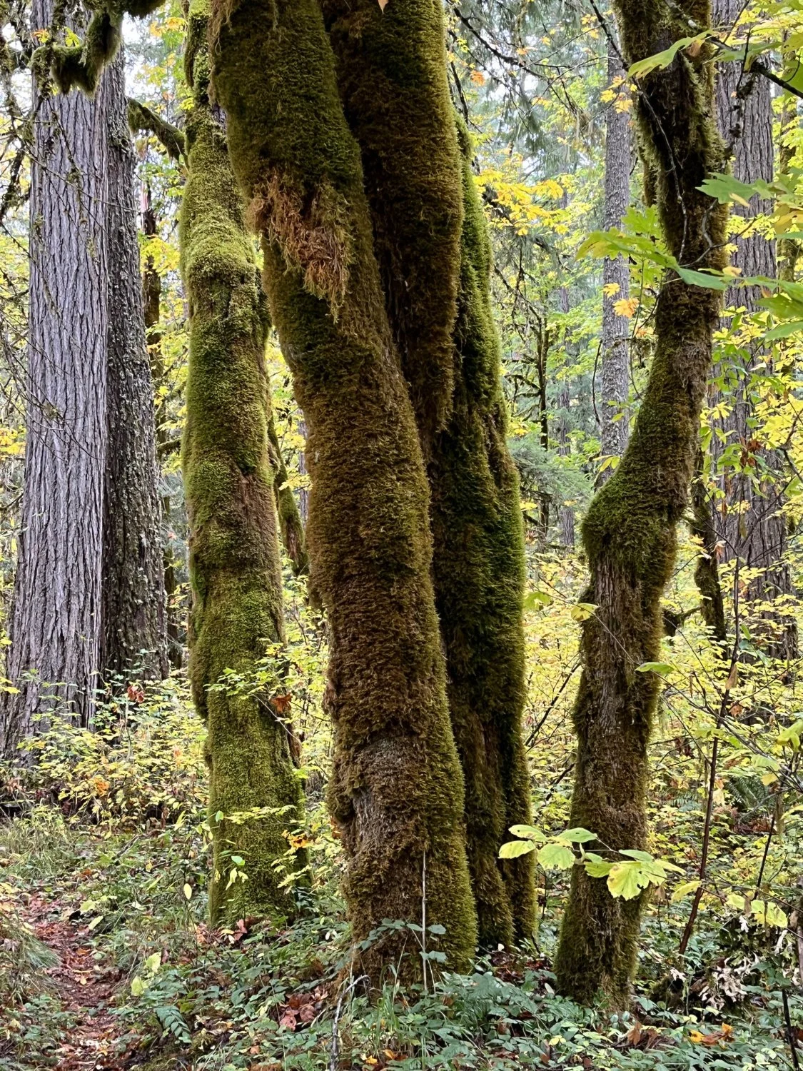
Mossy glade

Youngs Rock
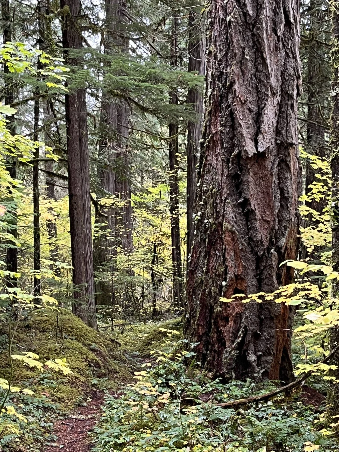
Douglas-fir
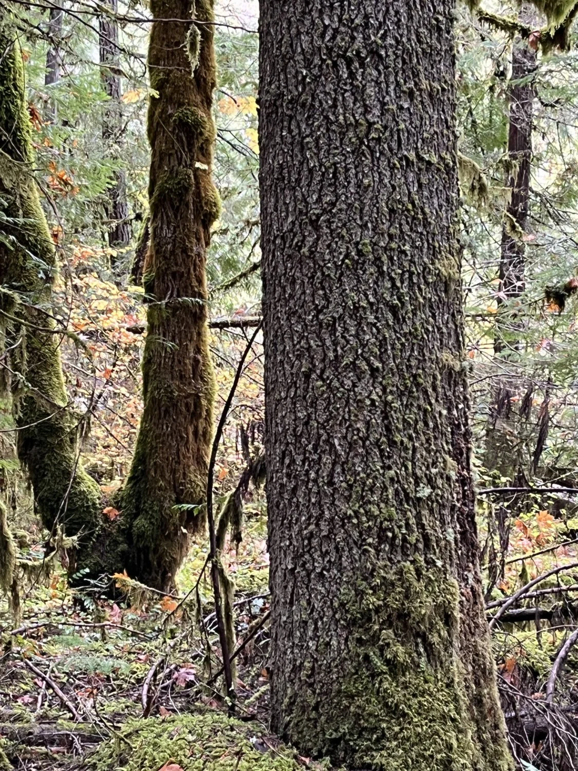
More moss
Grand fir