48. Chuckle Springs
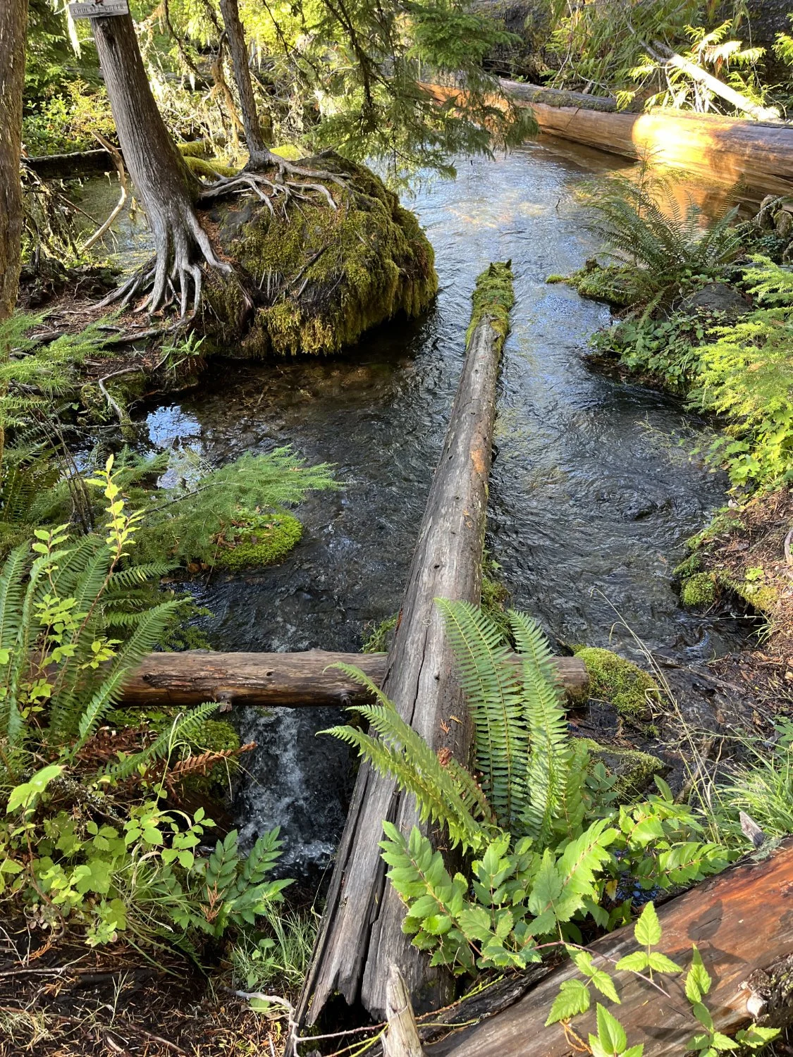
Chuckle Springs

Hefty Douglas-fir

At the edge of the fire ....

Along the cliff

Big rededar

The old ones survived ...

Middle Fork Willamette

Trio of titans
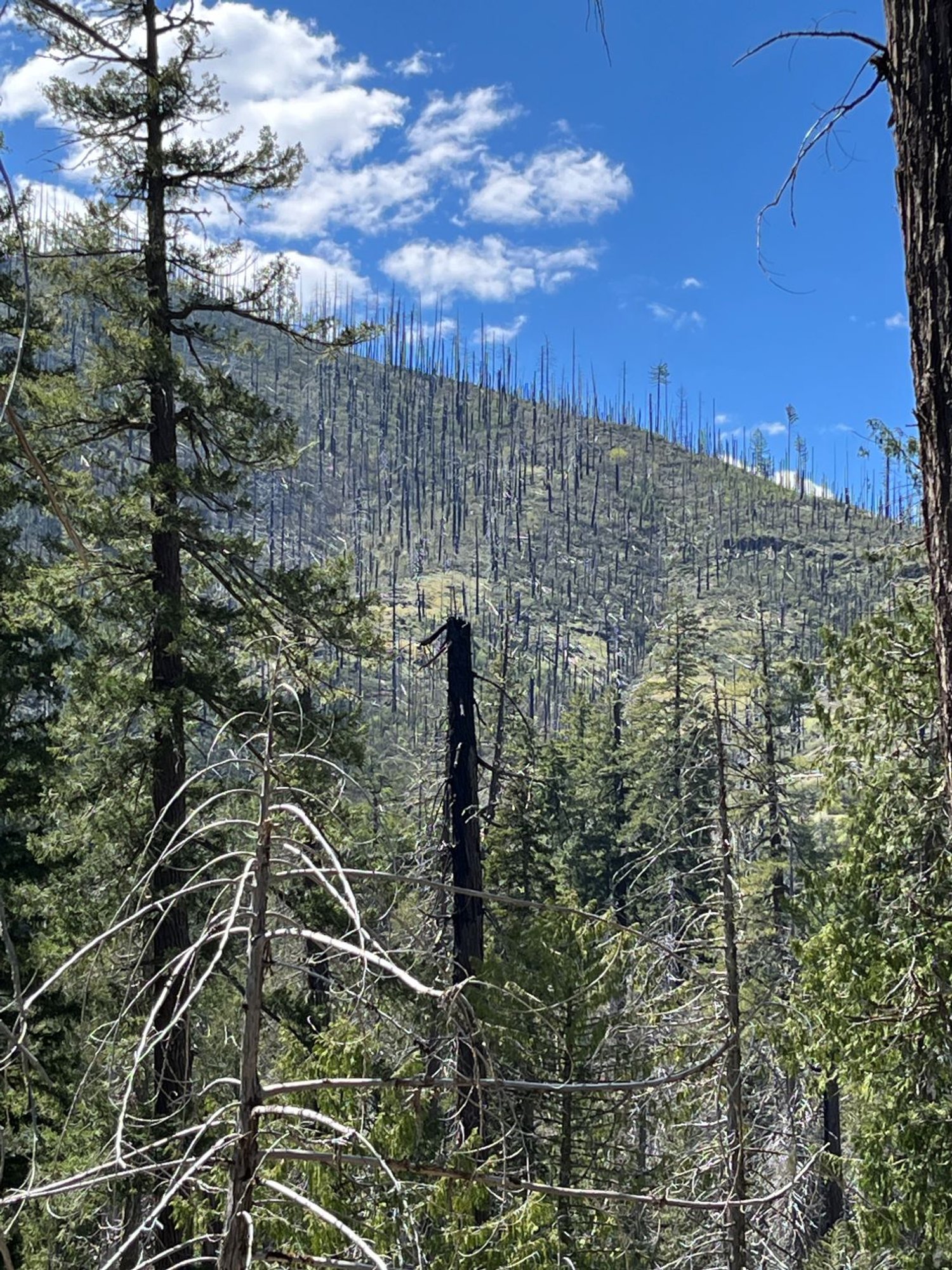
Intense burn across the river

Western redcedar and Douglas-fir