49. Middle Fork - Sacandaga

Old incense cedar

Sugar pine
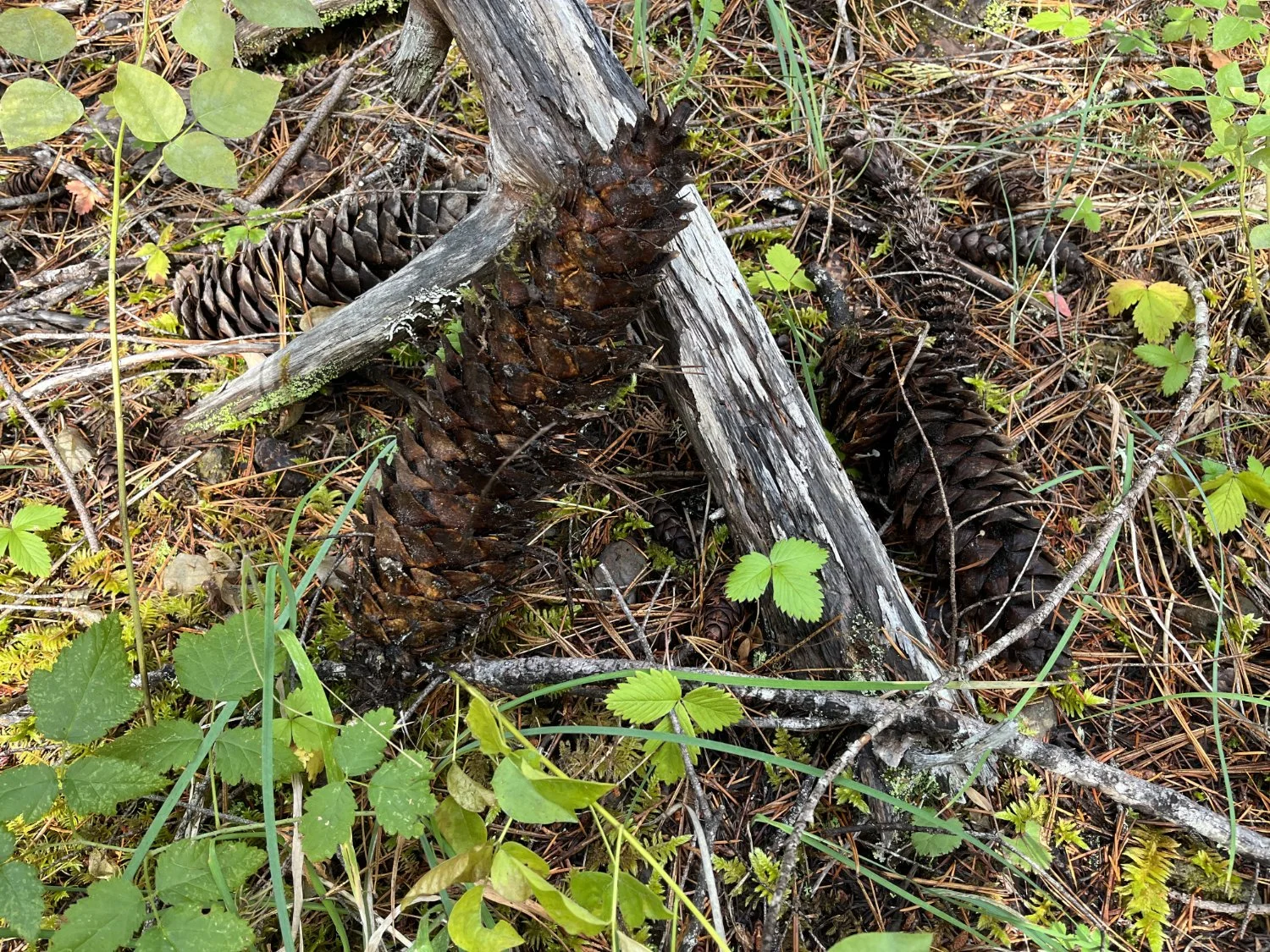
Sugar pine cones

Fall color

Autumn light

Big Douglas-fir