50. Big Swamp

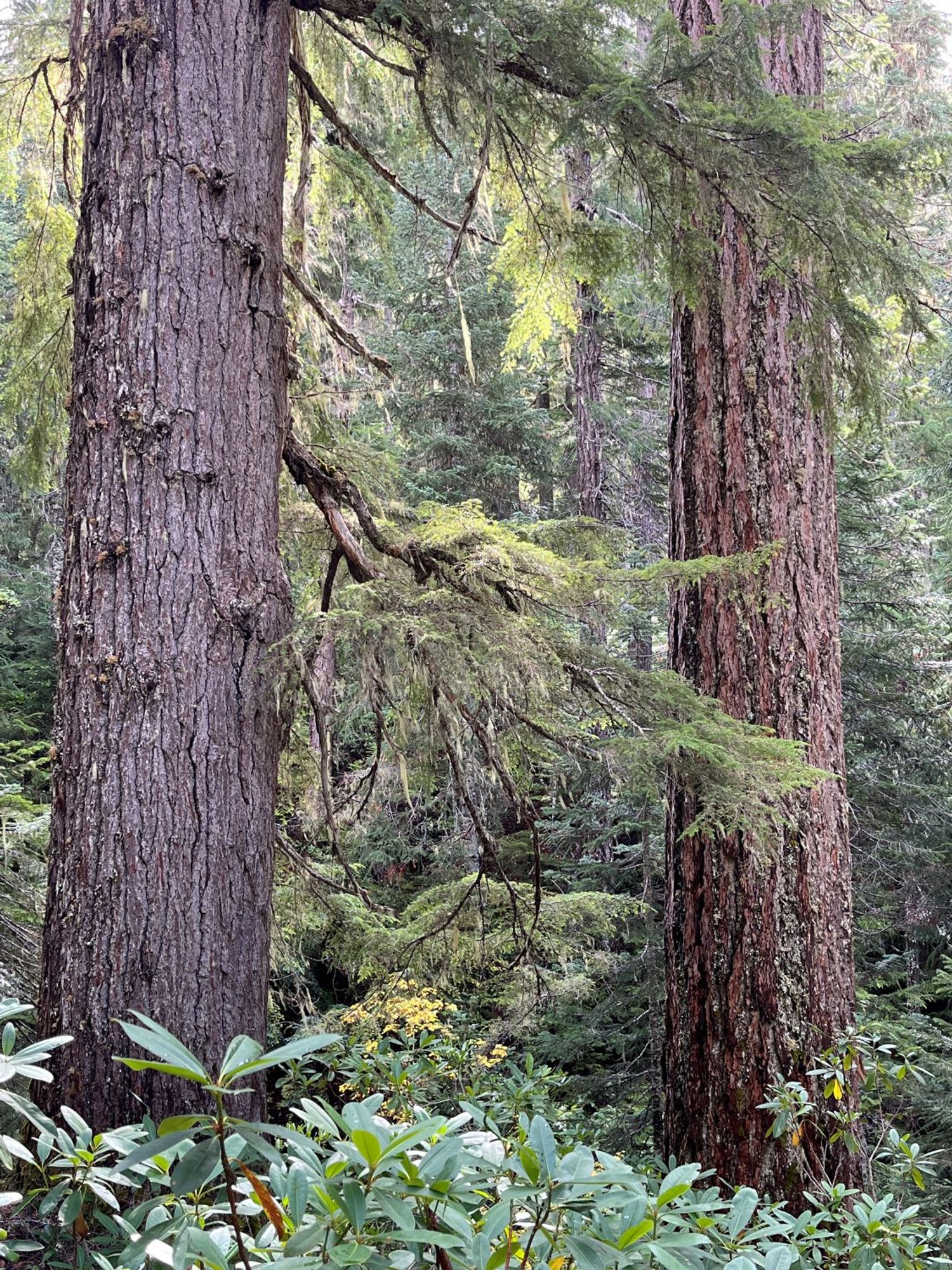
Beautiful Douglas-fir old growth

Douglas-fir in the fall
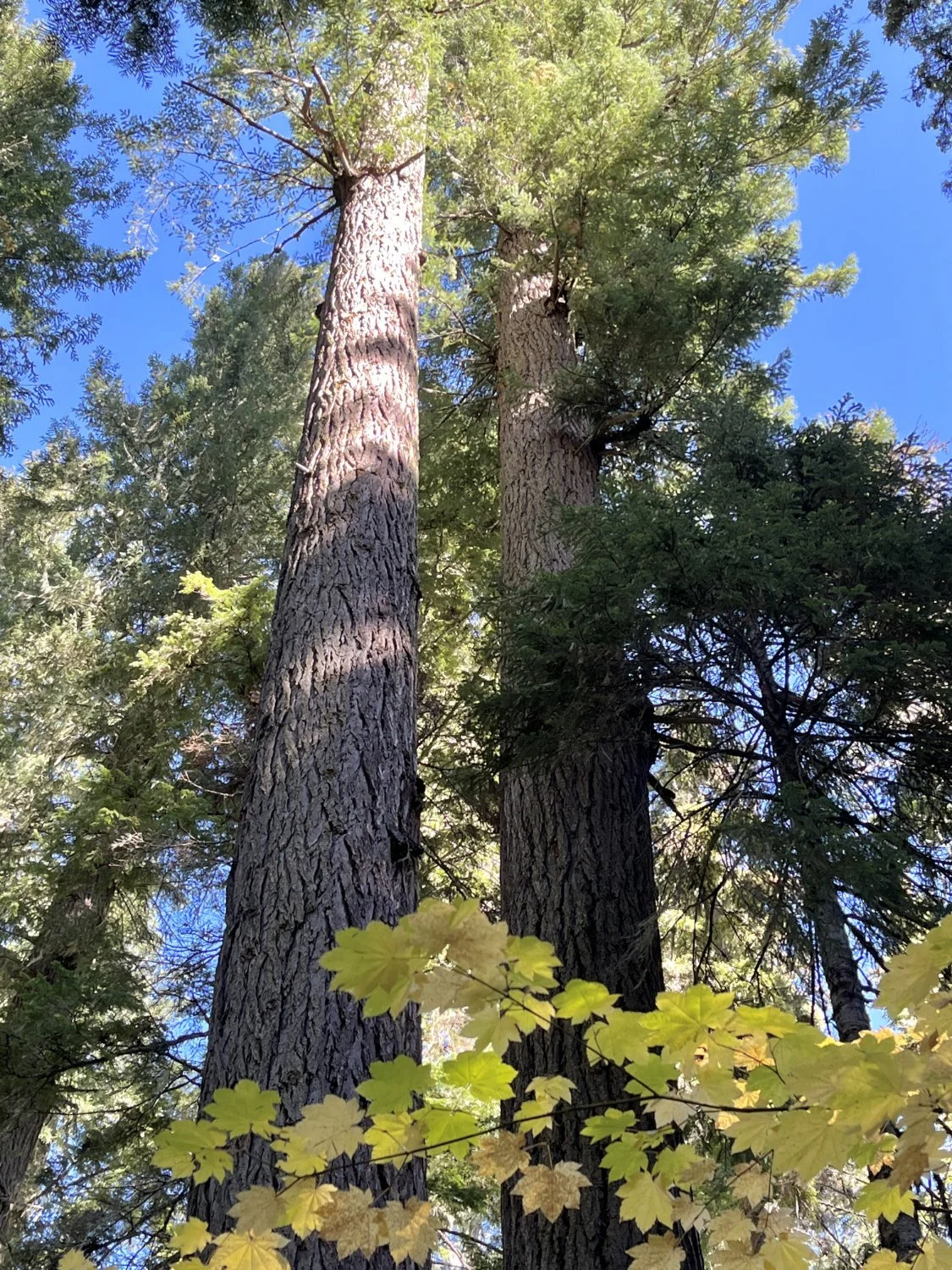
Reaching for the sky
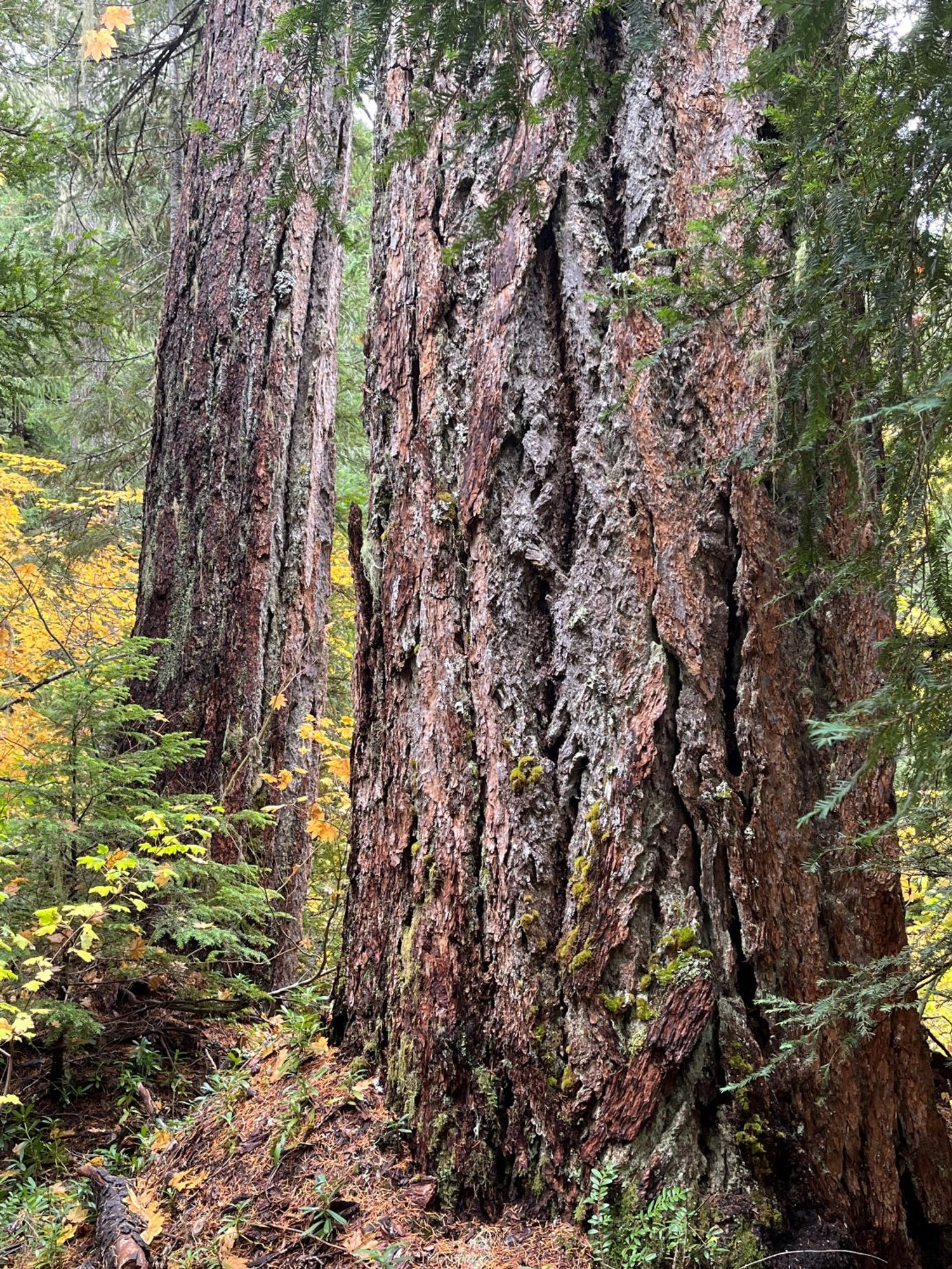
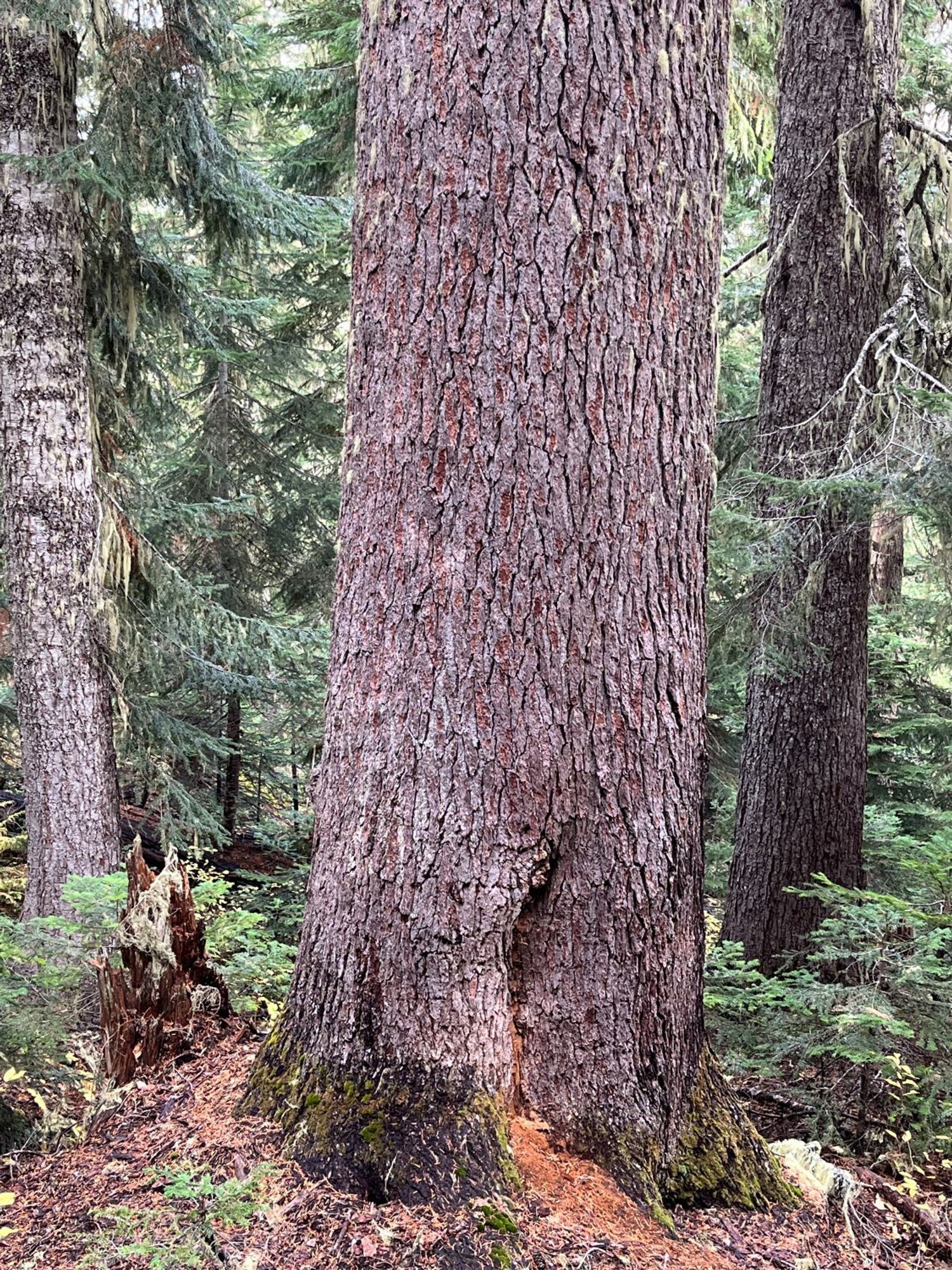
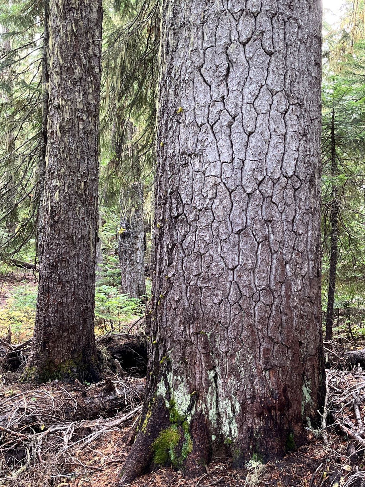
Fat firs

Abundant large snags
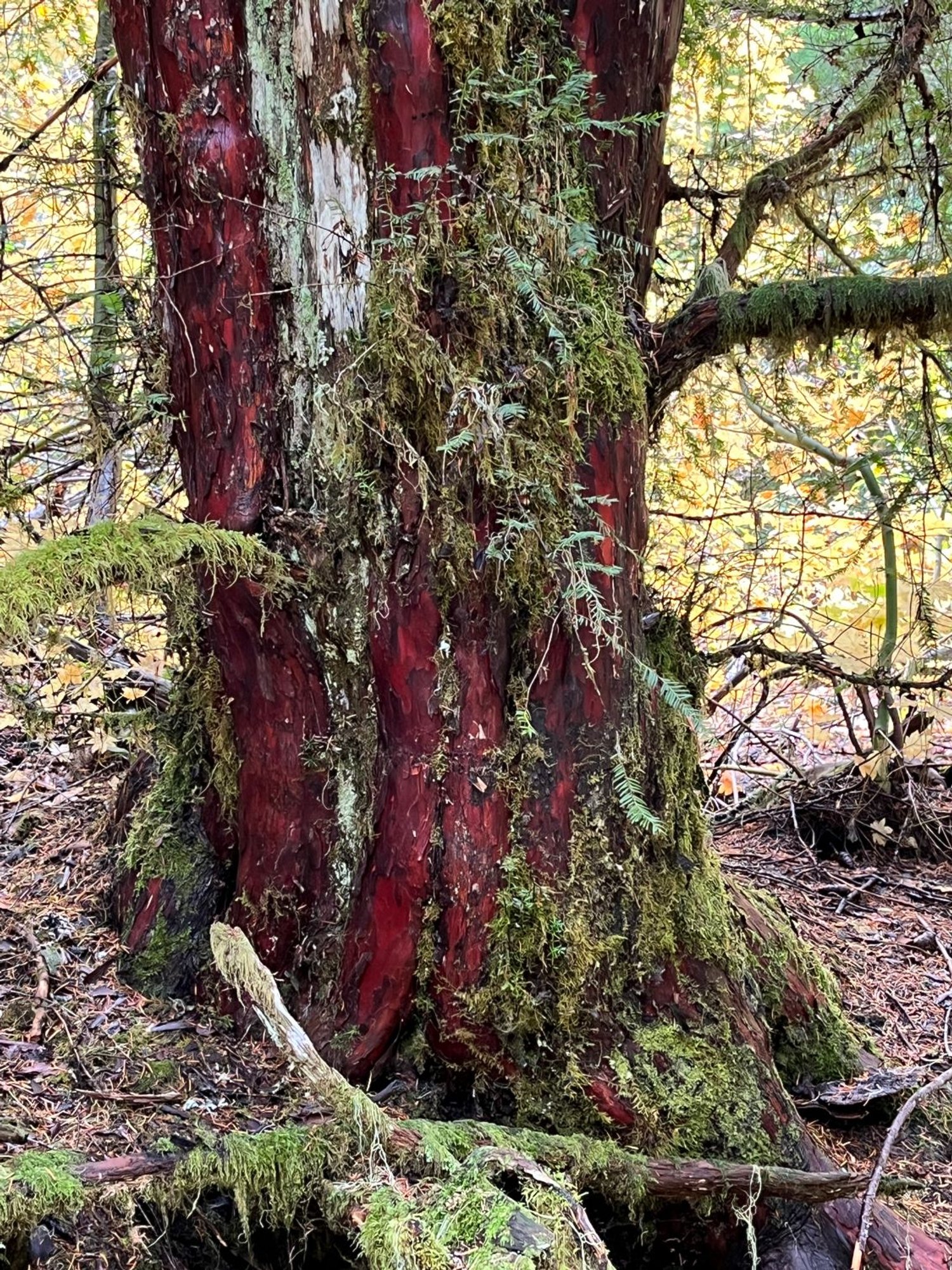
Unusually large Pacific yew
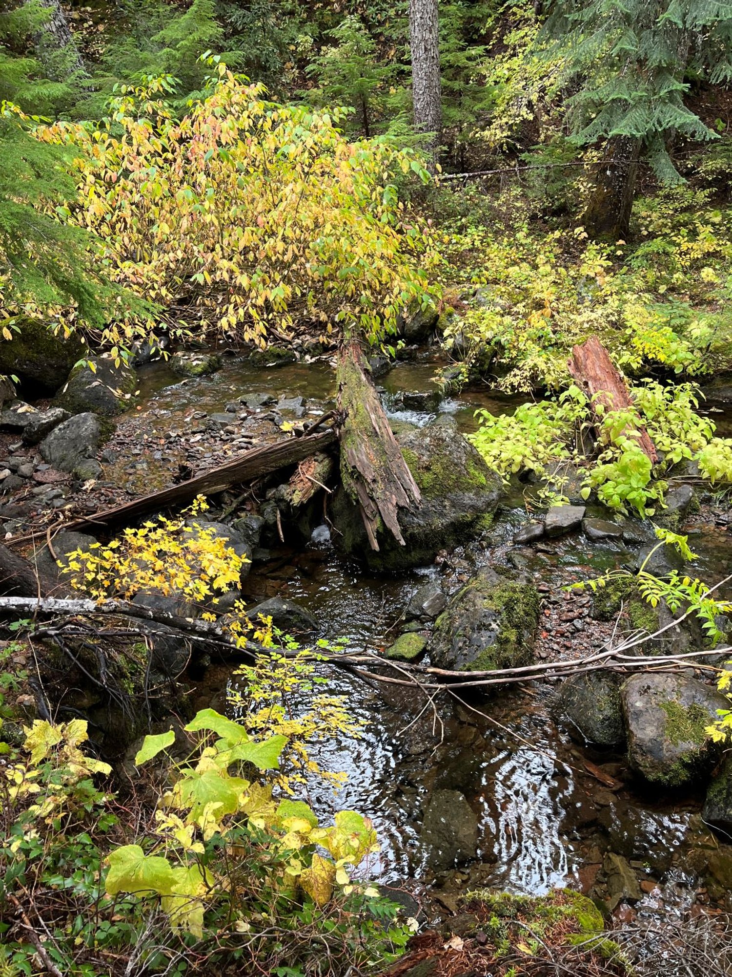
There's a river in there ...
Douglas-fir and western hemlock
Huge mountain hemlock

Big Pacific silver fir
Western white pine, still alive