46- Tall Trees

Towering above

The tall firs

Snag patch

Trail prior to re-opening

Ducking under a giant log
Trailside beauty

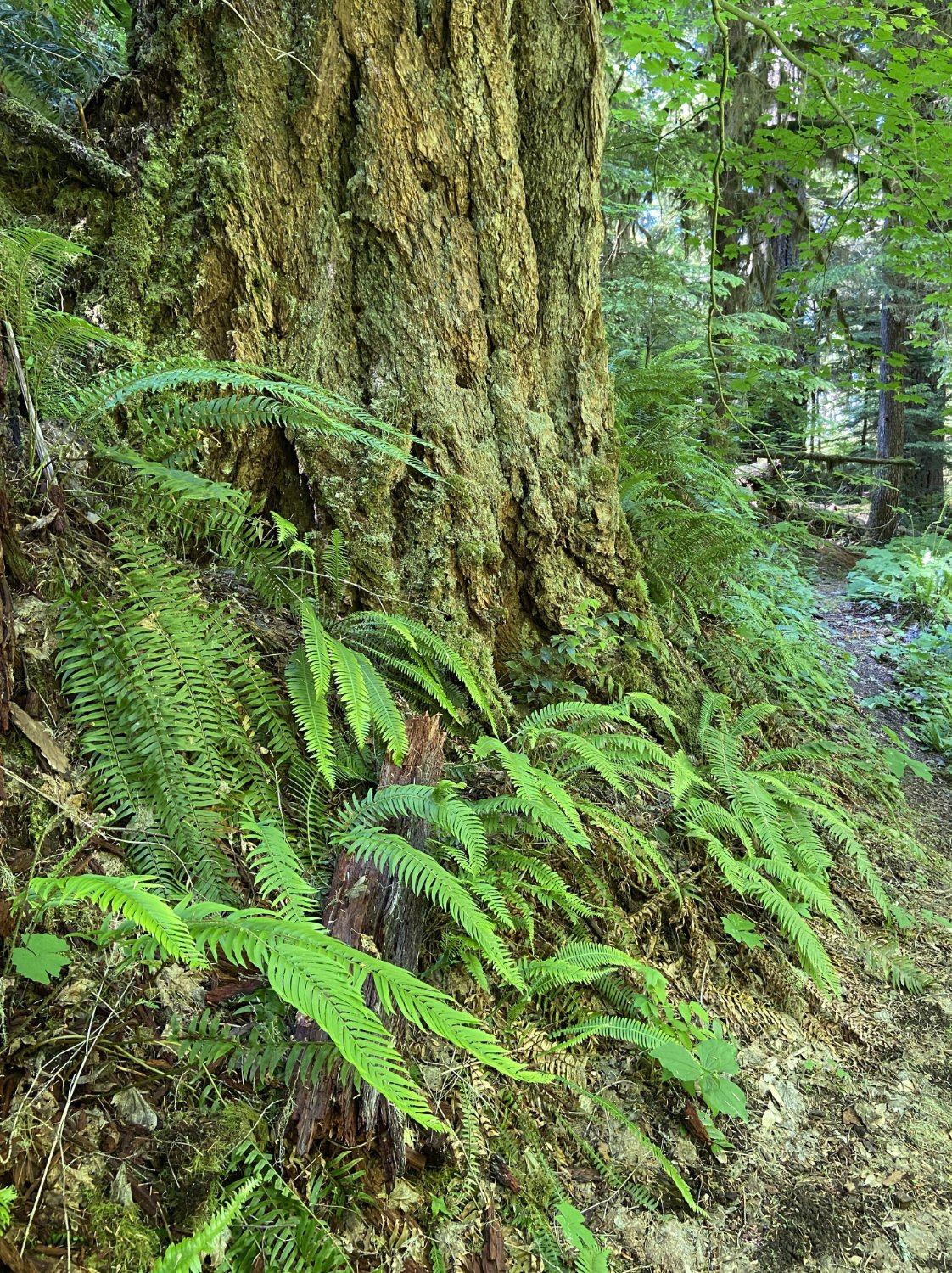
Swordfern and oxalis

Douglas-fir

Western hemlock
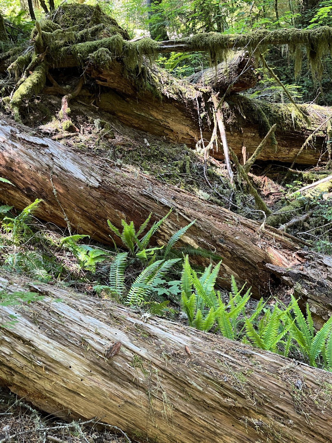
Large down wood

Rock pillars (Little Cowhorn)

Little Cowhorn Lookout