51 - Mount June

Beautiful Douglas-fir

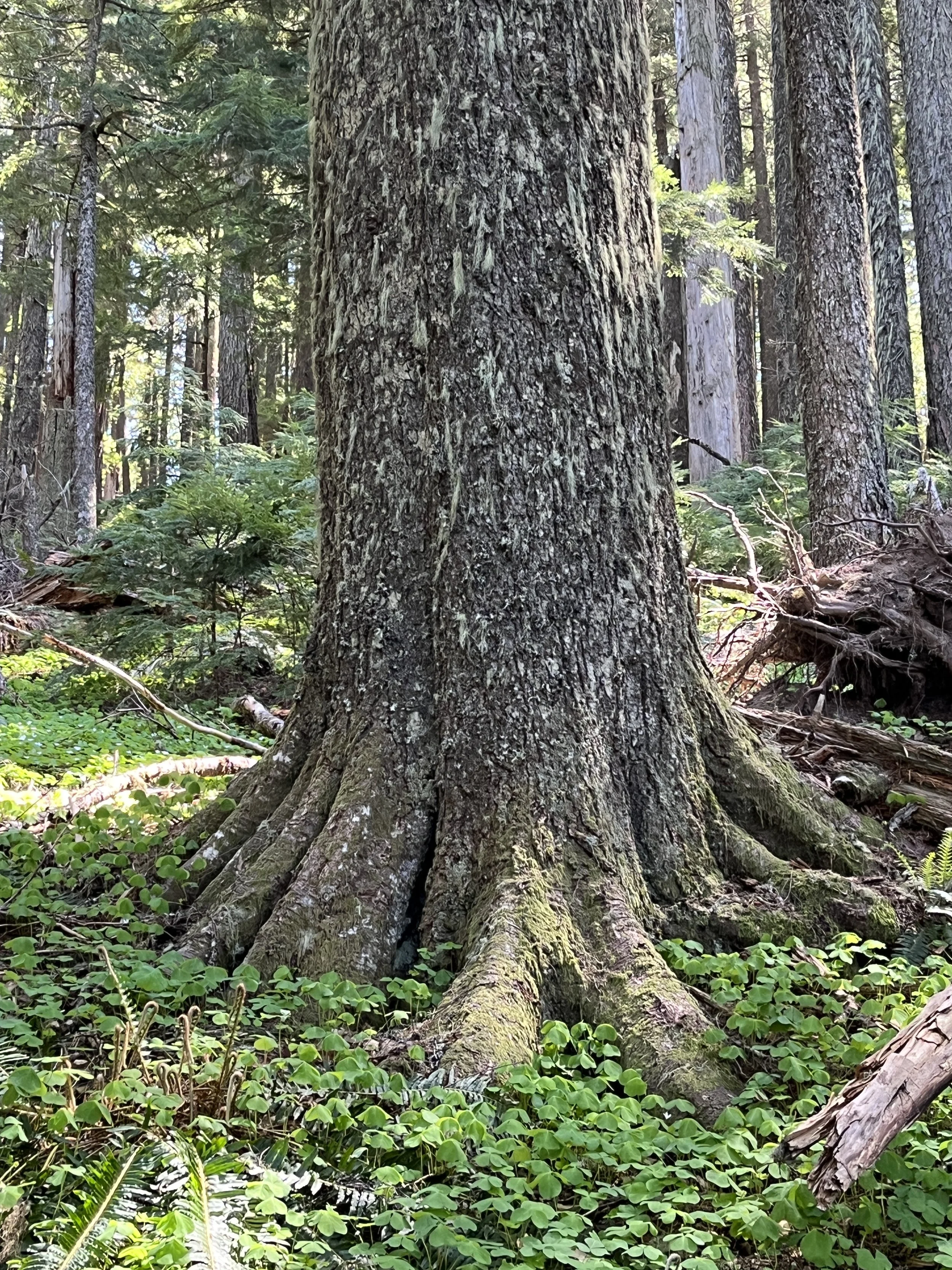
Fat fir
Western hemlock spreads out
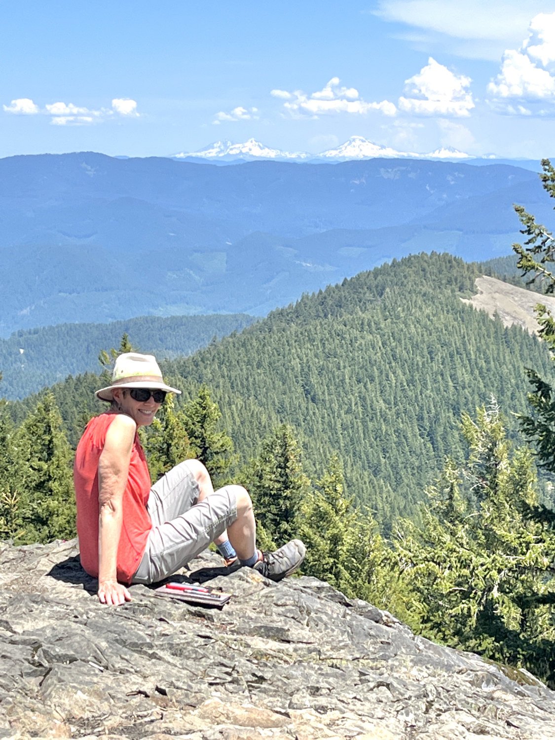
Diane and the Three Sisters
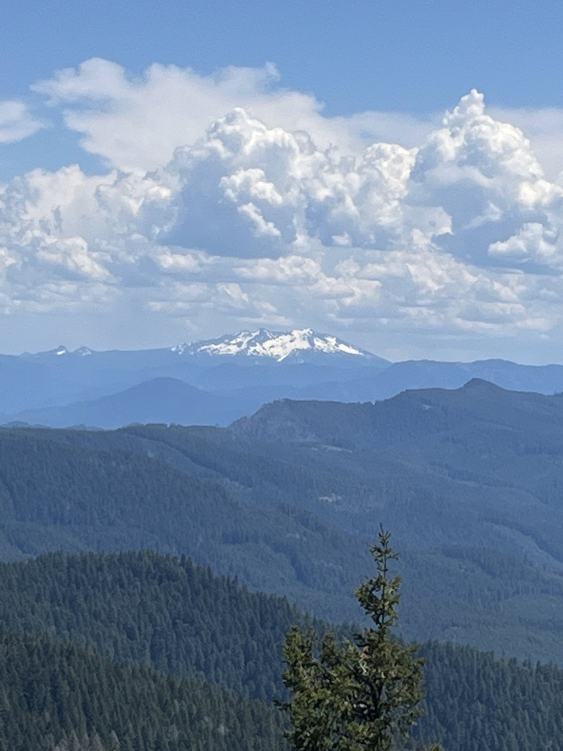
Diamond Peak
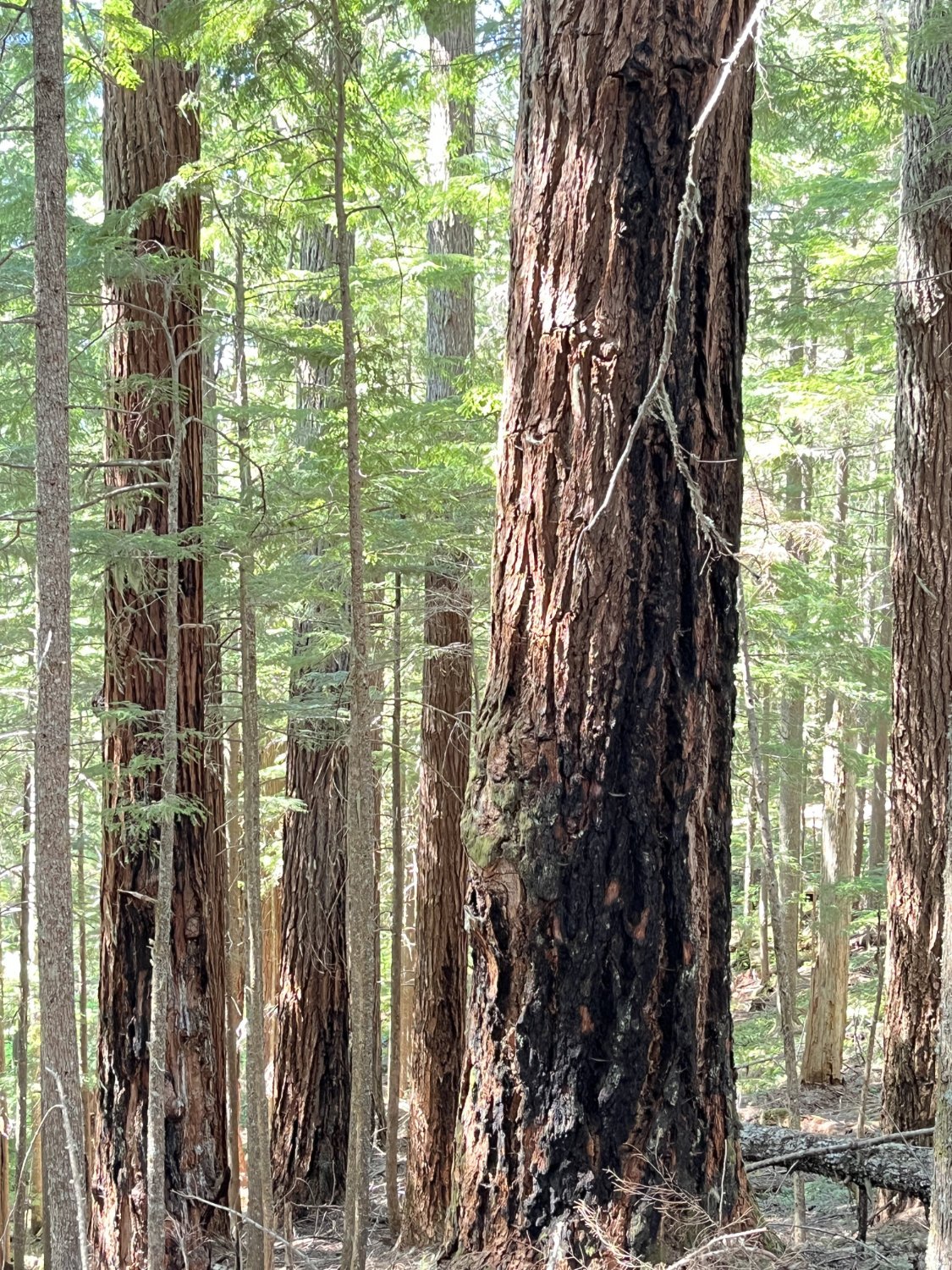
Long fire scorches

Bear art

Fir glade

Cliff penstemon