53 - Tire Mountain

Huge, fire-scarred Douglas-fir
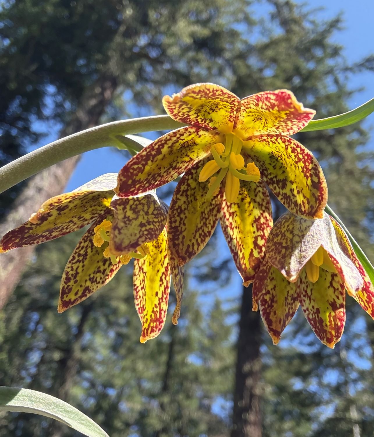
Chocolate lily

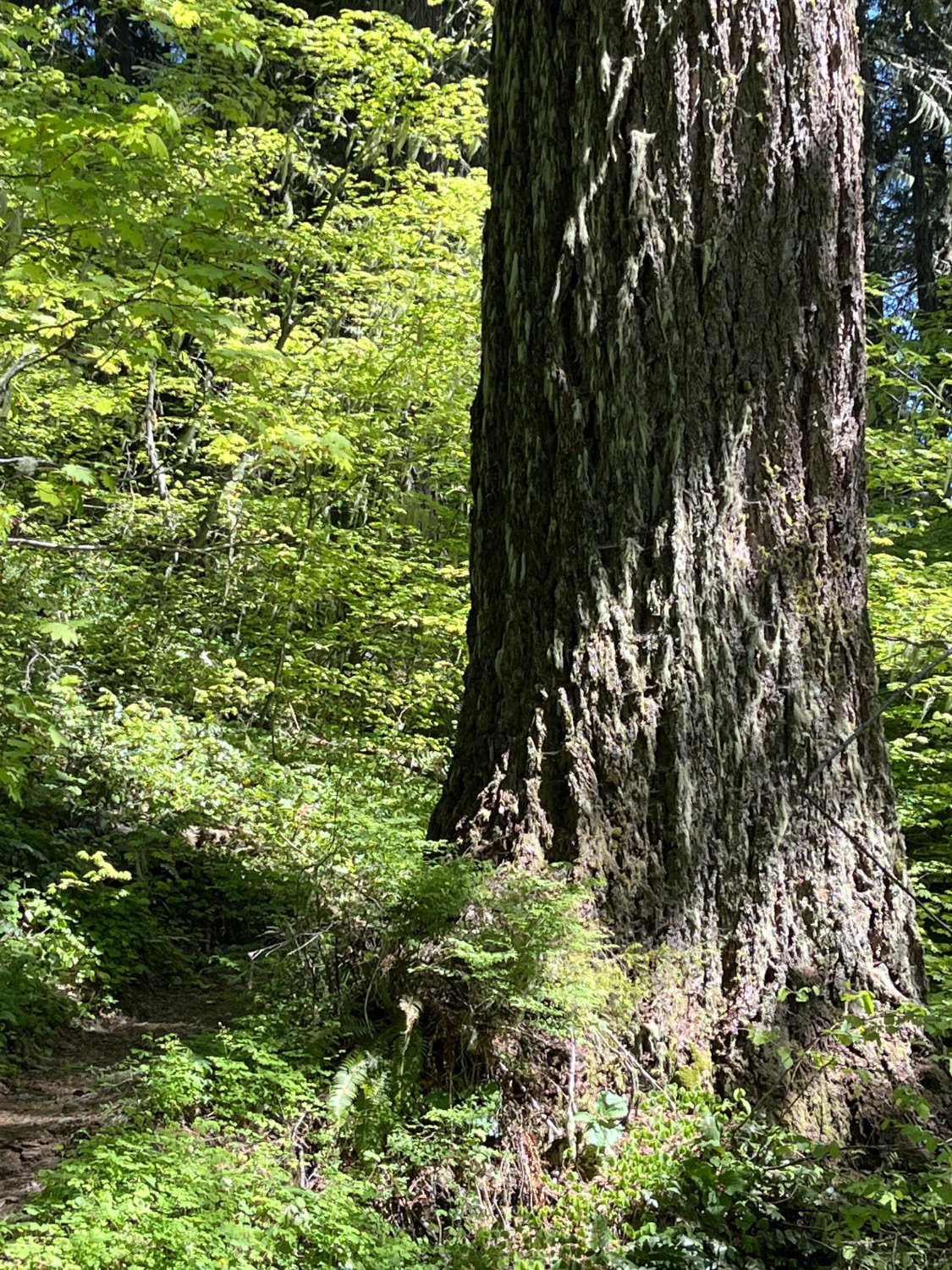
Western redcedar

Epicormic, fan-shaped branch cluster
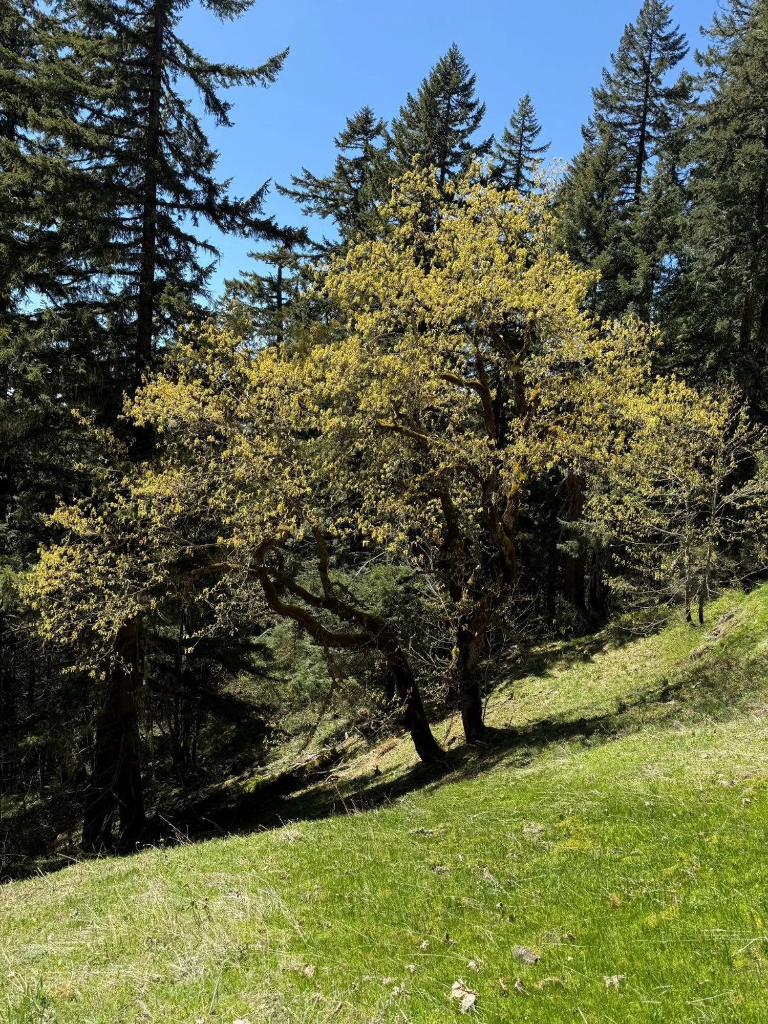
Bigleaf maple
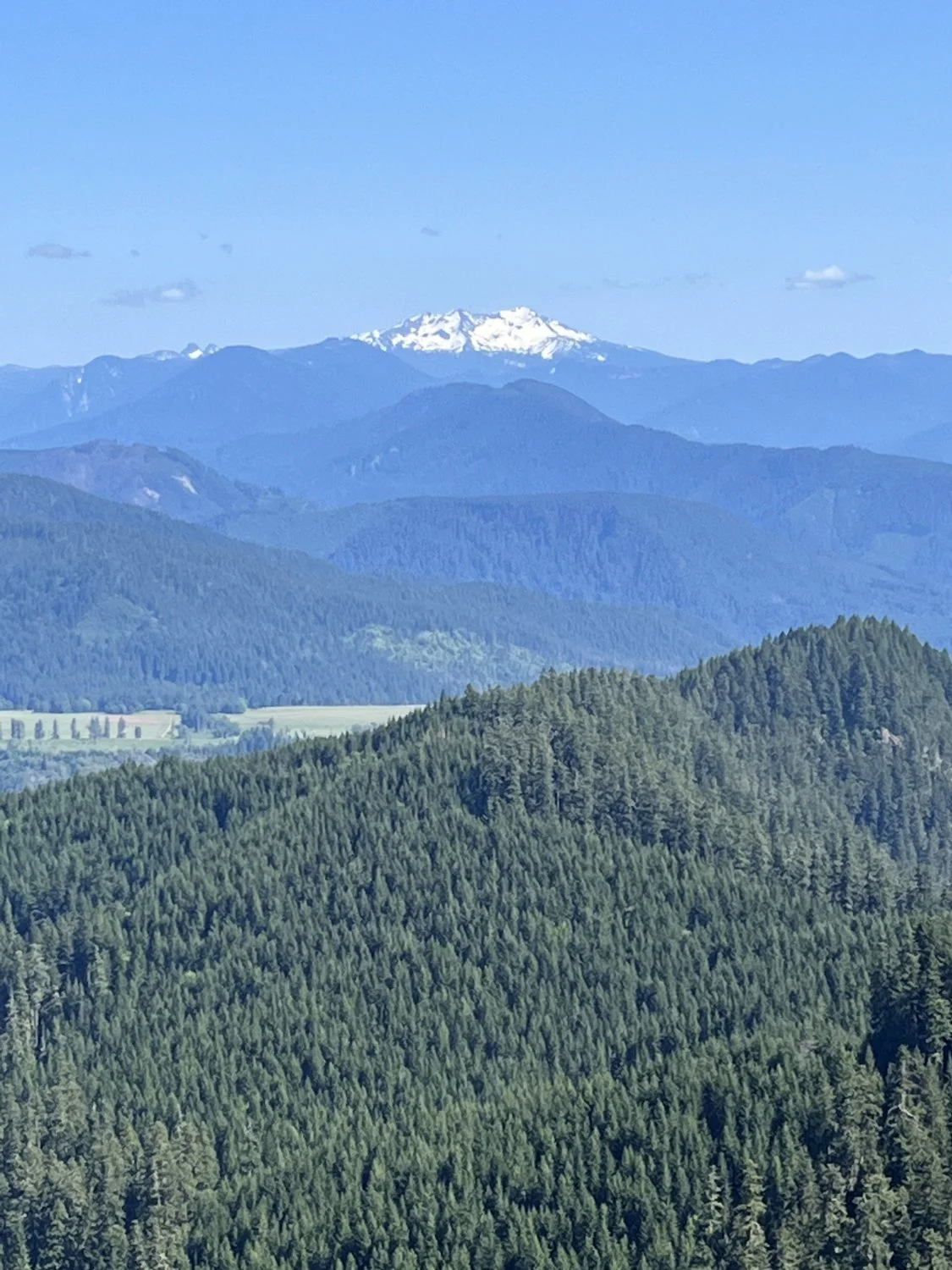
Diamond Peak

Arrowleaf balsamroot

Monkey flower
Big Douglas-fir on meadow edge