48 - Alpine Trail (Sourgrass Mountain)

Sourgrass Mountain

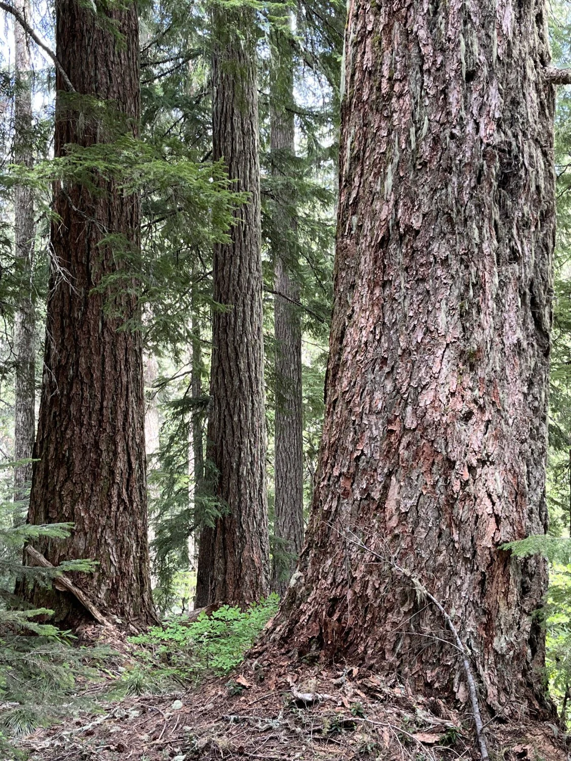
Classic old growth

Elk Camp Shelter
Beautiful Doug-firs

Welcome to the old growth (1990)

Diane and the big trees redux (2023)

Early summer rhododendron

Pacific silver fir

Delphinium
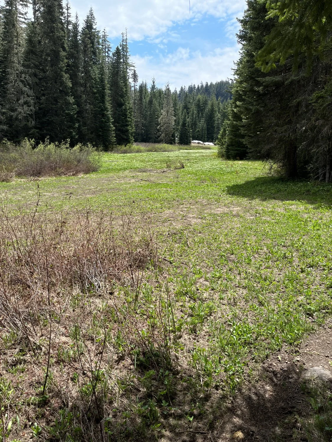
Early spring meadow

A trio by the meadow
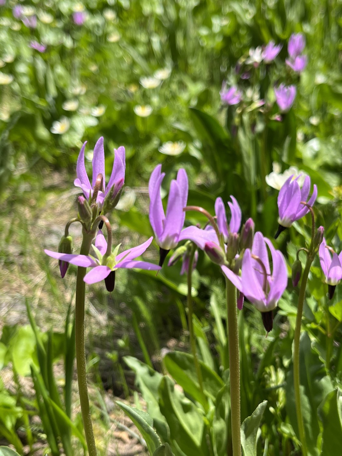
Shooting stars

Big snag with character

Grand fir