54 - Patterson Mountain
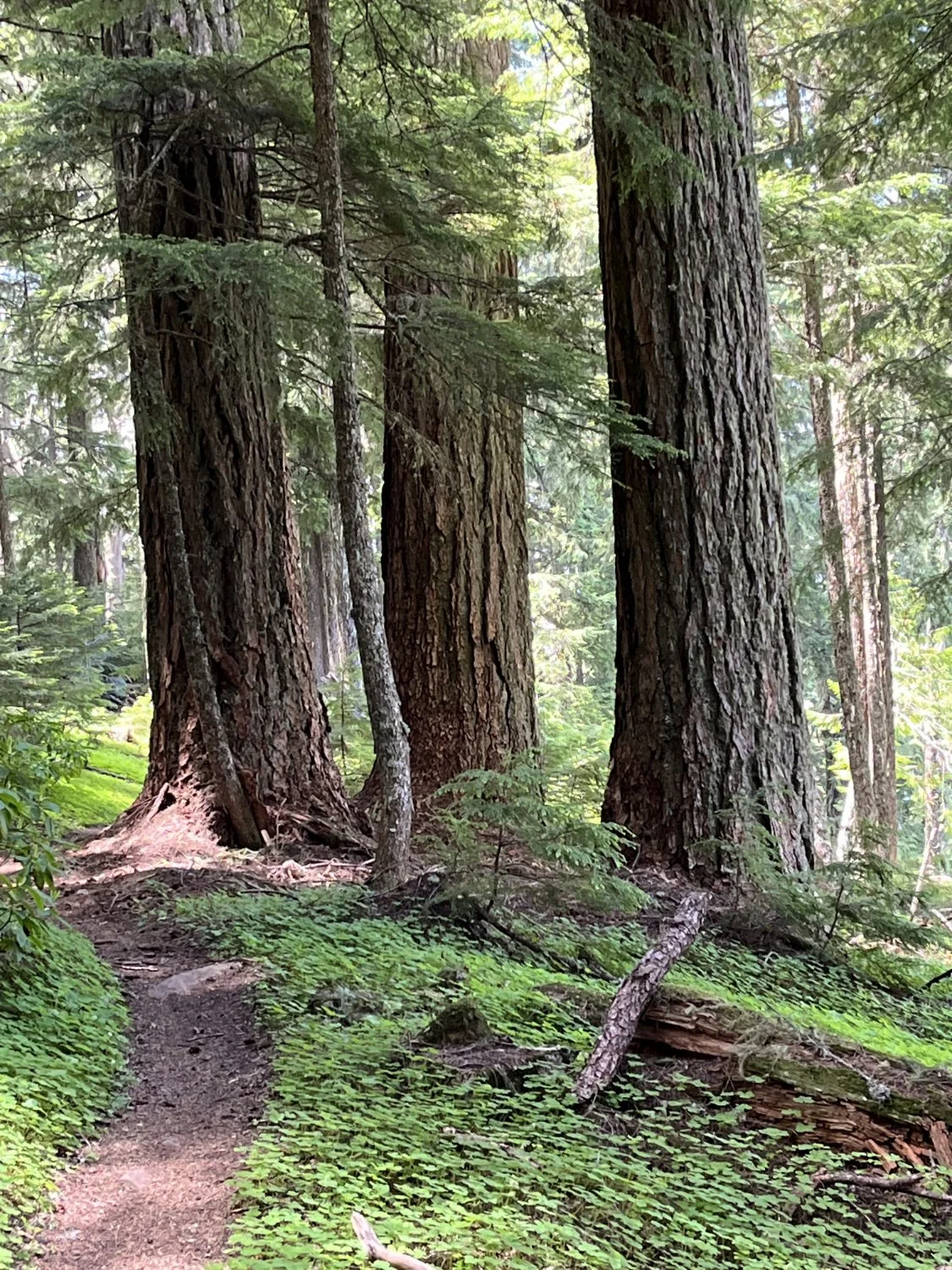
Trio of Doug-firs

Three-leafed anemone

Carpet of oxalis
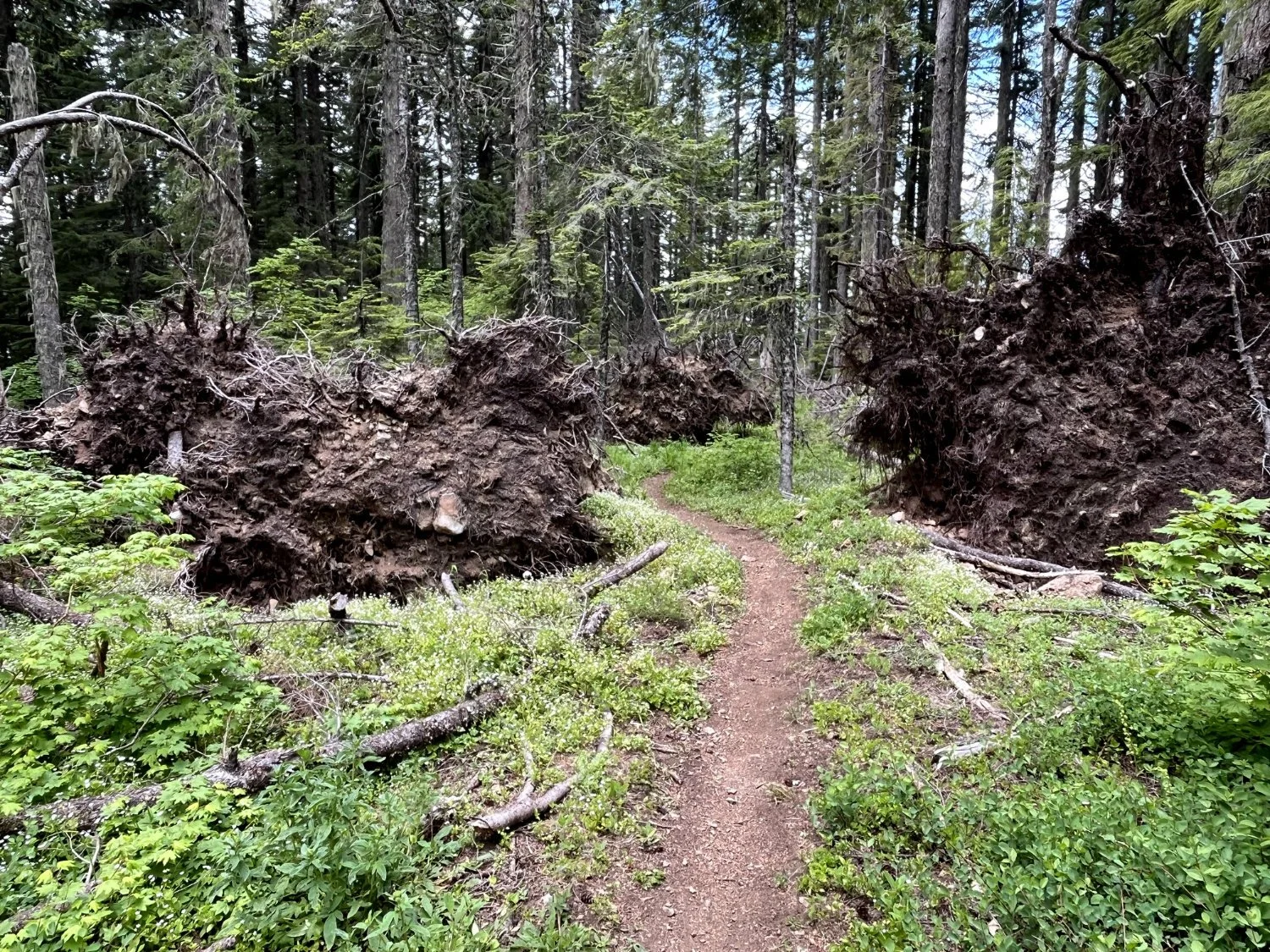
Windthrow across the trail