56 - South Willamette Trail

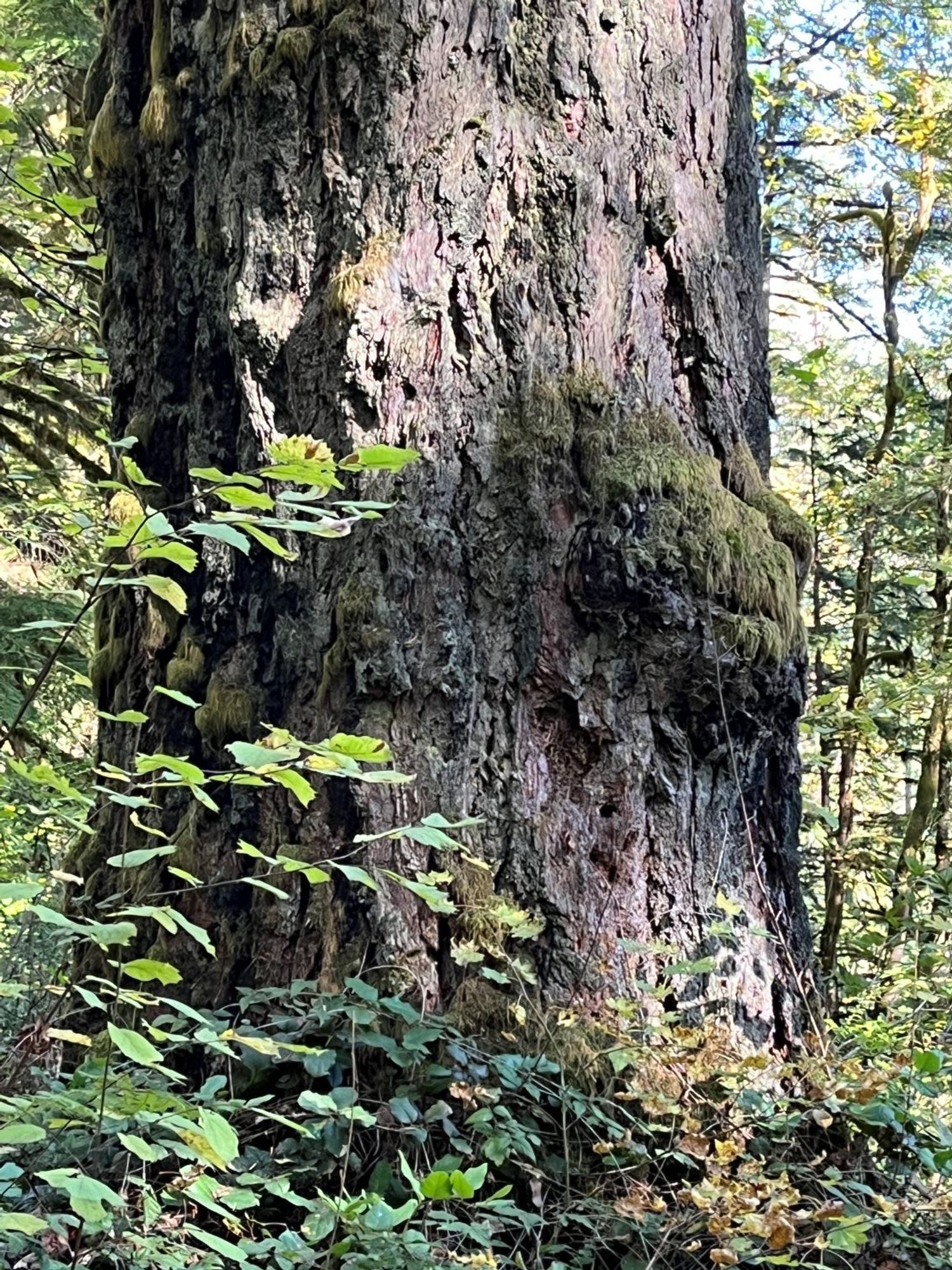
Old Douglas-fir

South Creek

Bigleaf maple

Fire-scorched veteran

Craggy, open-grown crowns
Giant Douglas-fir

Mature Douglas-fir
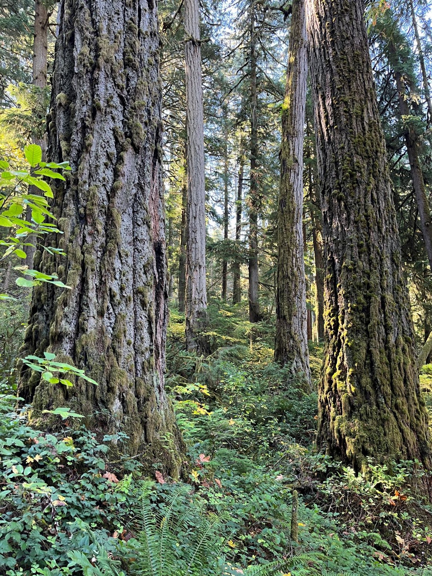
Low-elevation old growth
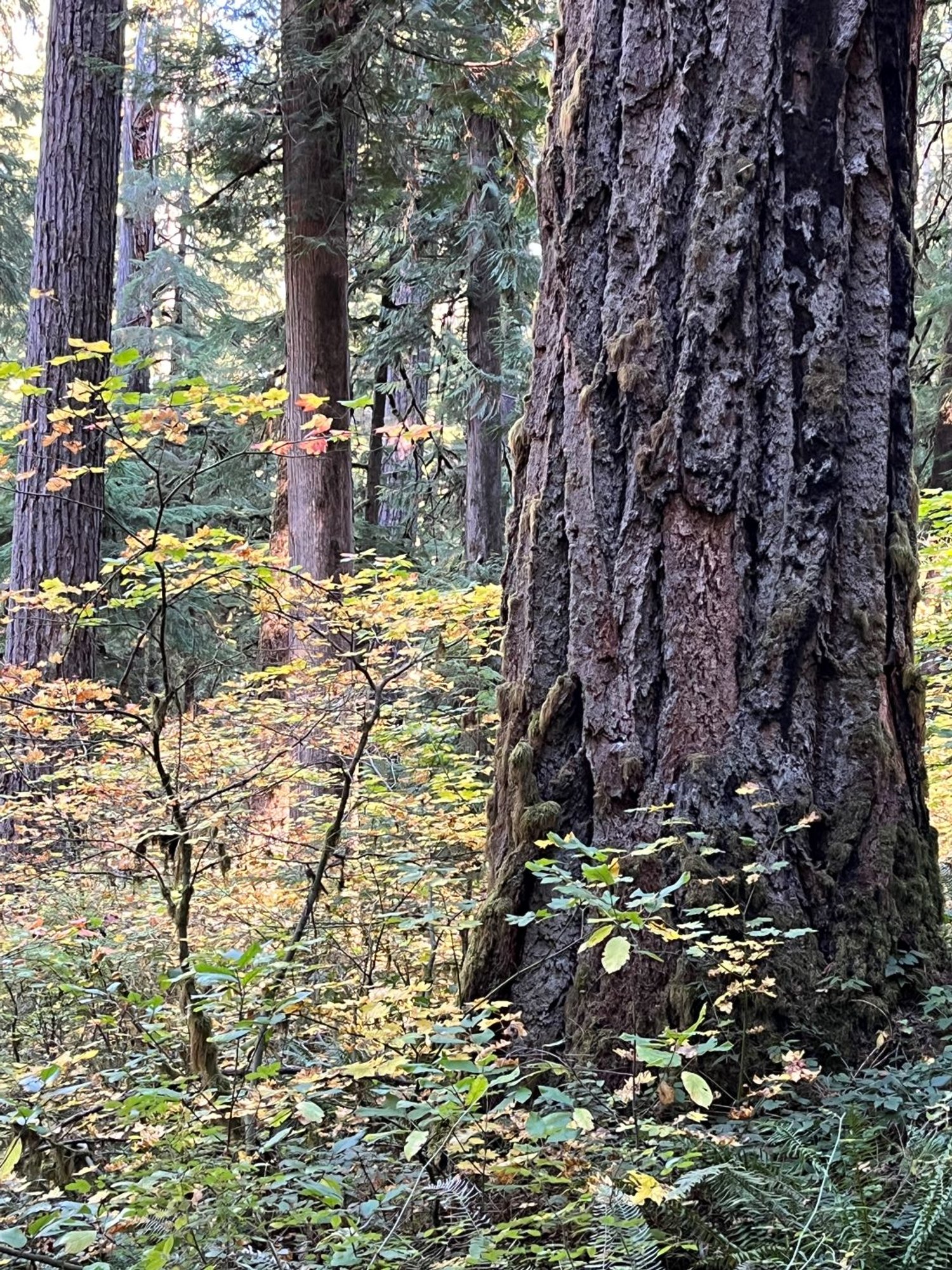
Douglas-fir in the fall